Top Rated Bathymetric Survey Company in India
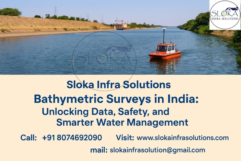
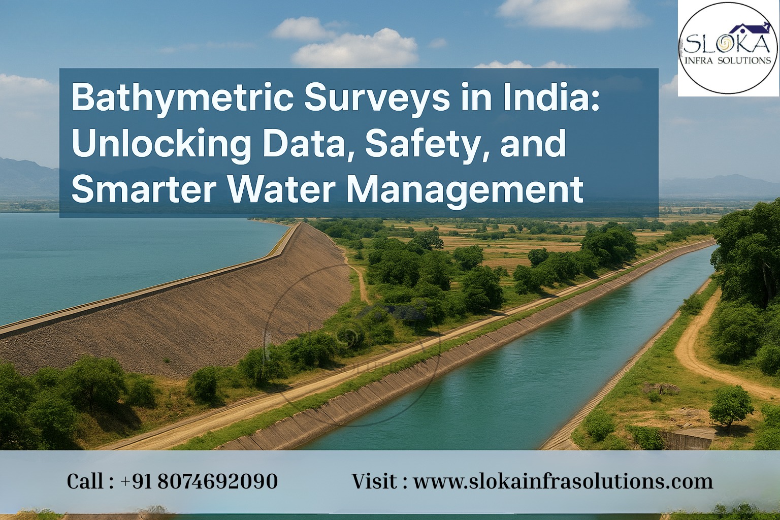
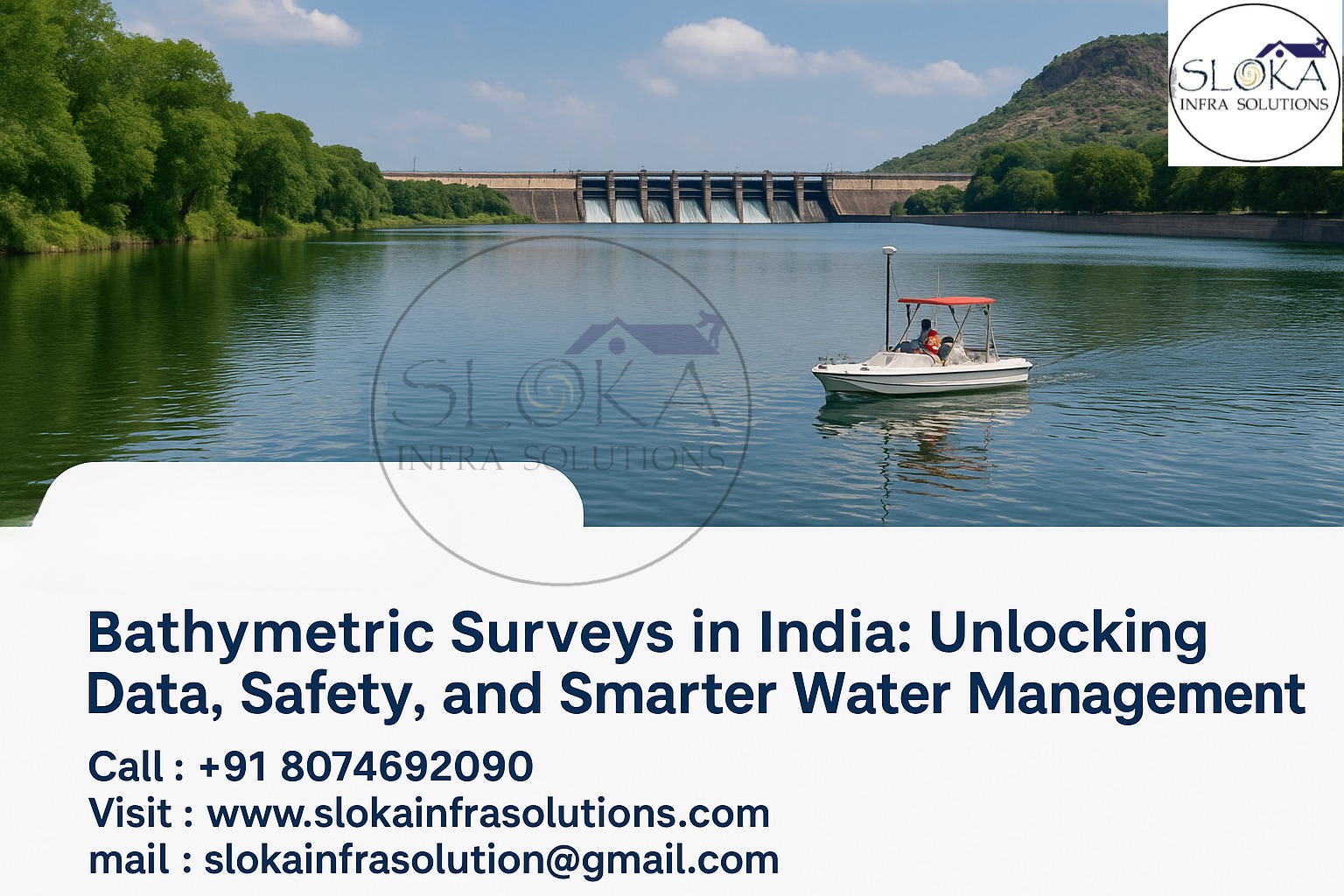
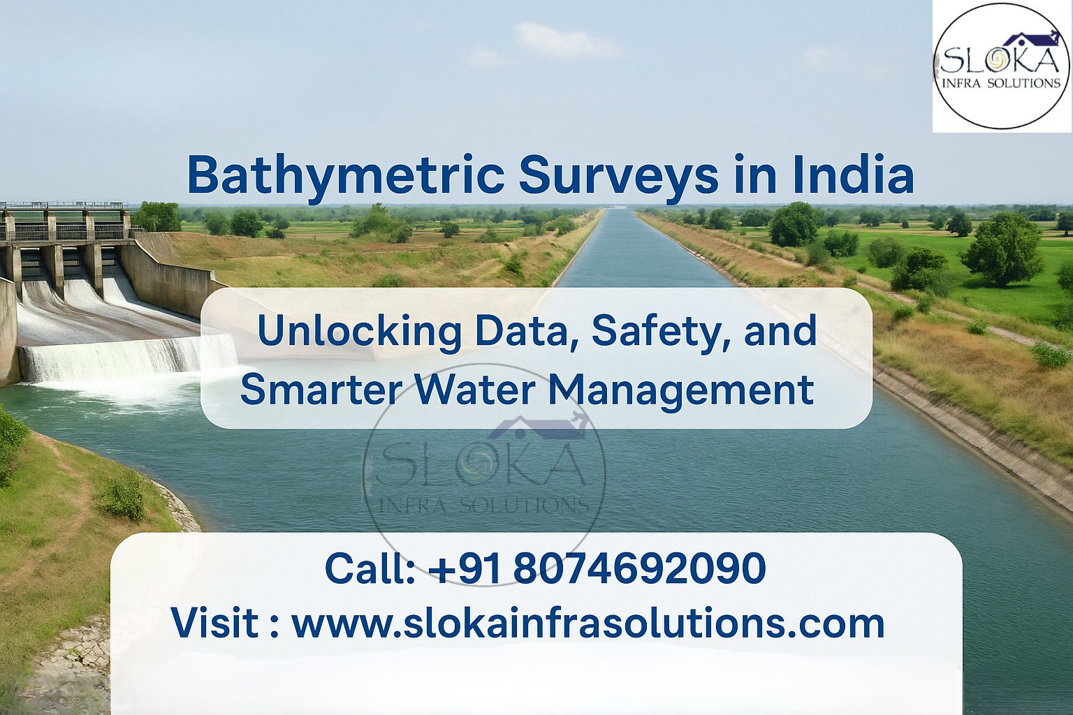
Bathymetric Surveys in India: Unlocking Data, Safety, and Smarter Water Management
Call: 80746 92090
Top Rated Bathymetric Survey Company in India are the bridge between every shoreline, river bend, reservoir outlet and the engineers, planners and policymakers who must make safe decisions about our water. From the bustling container hubs on the west coast to the braided channels of the Brahmaputra, accurate underwater maps are the difference between smooth navigation, effective flood management, successful infrastructure, and costly failure. In a country where monsoon-driven change, massive reservoirs and an ambitious push for inland waterways collide, these companies do far more than “measure depths” — they translate a dynamic underwater world into dependable maps, models and recommendations that planners can trust.
Top Rated Bathymetric Surveyor in India:-
Top Rated Bathymetric Surveyor in India combines technical skill, local experience and an ability to read water — literally. A great surveyor in India understands the seasonal rhythms of sedimentation in the Ganga-Brahmaputra system, the tidal mixing in estuaries like the Hooghly, and the unique challenges of shallow backwaters in Kerala. They bring together multibeam soundings, acoustic imagery, GNSS positioning, tide control and subsurface tools to deliver not just numbers, but a clear story about what lies beneath riverbeds, reservoir floors and coastal shelves.
Why this matters now ?
India is expanding ports, renewing reservoirs, building sea-links, operationalising national waterways and committing to coastal resilience. Each project needs a reliable picture of the underwater landscape. Bathymetry is central to:
Safe shipping and port operations: keeping dredged channels clear and charting hazards.
Reservoir management: measuring siltation to plan desilting and preserve capacity.
Bridge and offshore foundations: ensuring piles and piers are anchored to stable ground.
Inland waterways: maintaining shipping drafts and updating channel alignments for IWAI-managed national waterways.
Because India’s rivers and coastlines change quickly — driven by monsoon flows, sediment loads and coastal storms — surveys must be timely, precise and repeatable. That makes choosing a top-rated company and a skilled surveyor not just a procurement item, but a risk-management decision.
What a modern bathymetric survey delivers?
A professional survey converts raw acoustic echoes and positioning logs into actionable products:
Digital Terrain Models (DTMs) — tide-corrected grids for hydraulic models and dredging designs.
Contours & Nautical Charts — for navigational safety and port planning.
Backscatter mosaics — acoustic texture maps that hint at sand, silt, rock or vegetation.
Subsurface cross-sections — where Sub Bottom Profilers are used to show sediment layers.
Feature inventories — wrecks, outfalls, cables/pipelines, obstructions, scour holes.
Change-detection reports — multi-temporal comparisons to track shoaling, erosion or channel migration.
Quality metadata & TPU — traceability and uncertainty metrics following international practice.
These outputs feed design models, dredging plans, environmental impact assessments, and navigation warnings. The value lies in data quality, metadata and the confidence envelope around every depth — not just raw numbers.
How modern surveys are done — the pipeline:-
Successful bathymetry is not a single instrument — it’s a system and a workflow:
- Choosing sensors
Multibeam Echo Sounder (MBES) for dense 3D coverage across swaths — ideal for ports, sea-links and coastal charts.
Single-beam Echo Sounder (SBES) for targeted lines, narrow channels and quick reconnaissance.
Airborne Bathymetric LiDAR for shallow surf zones and clear-water shoreface mapping.
Side Scan Sonar and Sub Bottom Profiler (SBP) for texture and subsurface information (details below).
- Positioning & motion control
High-precision GNSS (RTK/PPP), integrated IMU for heave/roll/pitch corrections, and detailed tide/level control keep every sounding georeferenced to a reliable datum. - Sound speed management
Sound velocity changes with temperature, salinity and depth; frequent SVP casts prevent depth bias, especially in estuaries where fresh and saline layers create sharp gradients. - Survey design
Line spacing, crosslines and overlap are tailored to target accuracy (IHO S-44 Order 1a, Special Order, etc.) and seabed complexity. - QA/QC and post-processing
From de-spiking pings and removing multipath to creating TPU-qualified DTMs, the processing stage makes raw pings into defensible deliverables. International guidelines like IHO S-44 drive how uncertainty is computed and reported.
Sub Bottom Profilers:-
Sub Bottom Profilers (SBPs) are the “x-ray” of the seabed — they send low-frequency acoustic pulses that penetrate sediments and return layered reflections from beneath the surface. Unlike echo sounders that tell you “how deep,” SBPs reveal what’s below: sediment thickness, the interface between sediment and bedrock, buried channels, or anthropogenic strata (old fills, buried cables). In India, where reservoir sedimentation, deltaic evolution and buried paleochannels have enormous engineering and archaeological importance, SBPs are indispensable.
SBPs come in several flavors: chirp (swept-frequency for high-resolution shallow imaging), boomer (lower frequency, deeper penetration), and sparker/pinger systems (varied penetration and resolution depending on frequency). Typical chirp frequencies sweep a few kHz to tens of kHz and are recorded into formats analysts can process into vertical cross-sections.
Applications across India’s waterbodies
Reservoirs and dams: SBPs assess sediment thickness and layering in reservoirs like those in the peninsular river valleys and in northern reservoirs, guiding desiltation strategies and intake redesign. Identifying dense layers or abrupt bedrock can change foundation choices for intakes and piers.
Rivers and inland waterways: In large alluvial systems (Ganga, Brahmaputra, Godavari), SBPs can expose abandoned channels, point bars and deep scour zones — essential when planning dredging or bank protection.
Archaeology and paleolandscapes: Detecting buried channels helps locate ancient human settlements in areas where shorelines and river courses have shifted over millennia.
Engineering due diligence: For undersea or under-reservoir pipelines and foundations, SBP data prevents surprises by showing subsurface voids, soft layers or rock highs.
Practical note: SBP surveys must be designed with an eye to frequency vs. penetration trade-offs and to coupled positioning: accurate GNSS-tagging of crosslines makes every profile useful in a 3D engineering context. Processing converts raw returns into interpretable reflections, and modern workflows often export SEG-Y formatted data for advanced analyses.
Side Scan Sonar :-
Side Scan Sonar (SSS) is the imaging companion to depth-sounding; where MBES gives shape, SSS gives texture and objects. Mounted on a towfish or hull, SSS projects fan-shaped acoustic pulses sideways and captures backscatter intensity to build high-resolution mosaics of the seabed. Those mosaics look almost photographic — revealing ripples, debris, boulders, wrecks and sometimes biological habitats — and they are incredibly useful in navigation safety, search-and-recovery, habitat mapping and post-storm damage surveys.
Why SSS matters in India: India’s coastline and river systems host a mix of sandy shoals, rocky outcrops, mangrove-lined estuaries and man-made debris. SSS excels in detecting:
Hazards to navigation — submerged logs, abandoned gear, container debris or unexploded ordnance near ports and estuaries.
Seabed features — sandbars and ripples in the Ganga delta, boulder fields in coastal Odisha, and the intricate bottom textures of backwaters in Kerala.
Archaeological targets — image-based detection of wrecks and cultural material around sites where maritime activity has been dense. INS Darshak and other survey vessels have used sonar imaging for such tasks.
Technical specifics: SSS systems operate commonly from ~100 kHz to >1 MHz. Higher frequencies yield finer detail (centimetre-level) but shorter range; lower frequencies cover wider swaths at the cost of resolution. Modern processing stitches georeferenced passes into continuous mosaics, overlays them with MBES depth data and applies texture-classification algorithms to help distinguish sand from rock or biogenic cover.
Field practice in India: SSS surveys are often paired with MBES for port approaches, with SBP for subsurface context, and with magnetometer sweeps for metallic objects. In cyclone-prone zones — Odisha, Andhra Pradesh and parts of Gujarat — SSS is a frontline tool for rapid post-storm seabed assessment and for planning emergency dredging or re-routing.
Sensors that often accompany bathymetry
Acoustic Doppler Current Profilers (ADCPs) for flow measurements and to support sediment-transport modeling.
Side-scan sonar for texture and hazard identification.
Sub-bottom profiler for sediment layers.
Multibeam and single-beam echo sounders for depth.
SVP (sound velocity profiler) instruments and CTD casts for water-column correction.
High-accuracy GNSS/RTK and IMUs for positioning and motion compensation.
Uncrewed surface vehicles (USVs) and drones — increasingly used for small reservoirs, foreshores and dangerous stretches of river.
Quality control and international benchmarks
Clients looking for trustworthy data should insist on documented QC and IHO-compliant reporting. The IHO S-44 standard (and national equivalents) define uncertainty metrics such as Total Propagated Uncertainty (TPU) and survey Orders (1a, Special Order), which tell you how much confidence you can place in the depth values — not all surveys are created equal. Consistent SVP practice, crosslines, coverage maps and system accuracy tests are part of professional deliverables.
Operational challenges in India — and how top teams handle them
Monsoon variability and turbidity: High suspended sediments and swift seasonal flows obscure acoustic returns and force tightly-timed mobilization windows. Top companies plan around seasonal windows, use robust sound speed strategies, and deploy high-sensitivity systems to maximize returns.
Rapid bed changes in deltas: Braided, migrating channels in river deltas require dense line spacing and frequent repeat surveys for reliable channel maintenance.
Shallow, obstacle-rich zones: Backwaters, creeks and shallow estuaries are full of traps — fishing gear, submerged vegetation and floating debris — demanding slower speeds, smaller vessels/USVs and careful towfish operation.
Clearance and permissions: Surveys near ports, naval zones or protected areas need coordination with government authorities. Experienced surveyors manage permissions and compliance, ensuring data can be published and relied upon when required.
Choosing the right company or surveyor — a checklist
When selecting a Top Rated Bathymetric Survey Company in India or Top Rated Bathymetric Surveyor in India, look for:
- Proven project experience in the same waterbody type (rivers vs. estuaries vs. open coast).
- Equipment list: MBES, SSS, SBP, ADCPs, SVP, GNSS/RTK and IMU.
- QA/QC & reporting: IHO-aligned deliverables, TPU/uncertainty reporting, clear metadata.
- Local logistics competence: Able to operate small craft, USVs and shore-based support in monsoon and remote regions.
- Clear data formats & interoperability: DTM, contours, SEG-Y for SBP and backscatter mosaics for habitat work.
- References & sample deliverables: Ask for previous DTMs, processing reports and coverage plots.
Deliverables you should expect:-
A complete package from a top-rated firm usually includes:
- Georeferenced point cloud or DTM (grid).
- Depth contours and cross-sections.
- Backscatter mosaics and SSS imagery.
- Sub-bottom profiles (SEG-Y) and interpreted cross-sections.
- Obstruction shapefiles (wrecks, cables, outfalls).
- QA/QC reports including TPU summaries, survey logs, SVP records and tide/level control statements.
Future trends impacting Indian bathymetry
Uncrewed and autonomous platforms: USVs, AUVs and drone-mounted LiDAR are making small-reservoir and surf-zone mapping cheaper and safer.
Real-time processing: Onboard processing reduces rework and speeds delivery in urgent post-storm response scenarios.
Machine learning on backscatter: Automated seabed classification helps scale habitat and sediment studies.
Conclusion:-
Bathymetric surveying is foundational to how India manages its water-rich but constantly changing landscape. Top Rated Bathymetric Survey Company in India and Top Rated Bathymetric Surveyor in India are not luxury choices — they are essential partners for safe navigation, engineered infrastructure and resilient water management. Whether the task is keeping an inland waterway navigable, quantifying reservoir siltation, designing a sea-link foundation, or mapping a fragile estuary, the right combination of MBES, side-scan imagery and sub-bottom profiling — delivered with rigorous QA and international-standard uncertainty reporting — turns underwater unknowns into smart decisions.