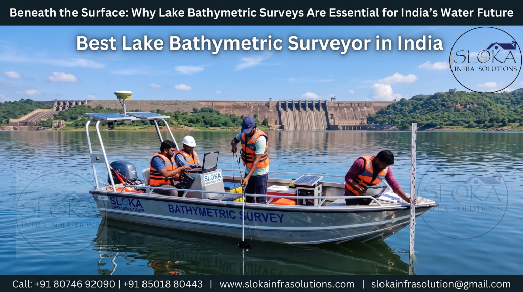
Lake Bathymetric Survey Services in India
Beneath the Surface: Why Lake Bathymetric Surveys Are Essential for India’s Water Future
Call: +91 80746 92090
Lake Bathymetric Survey Services in India are becoming indispensable for sustainable water-resource management, infrastructure planning, and environmental protection. India possesses thousands of lakes, reservoirs, wetlands, irrigation tanks, and freshwater bodies that support drinking water supply, agriculture, fisheries, hydropower, tourism, and biodiversity. However, the true condition of these water bodies remains hidden beneath the surface. Accurate underwater mapping helps authorities understand storage capacity, sediment accumulation, underwater hazards, and changing lake morphology, enabling informed decisions for long-term resource management.
Best Lake Bathymetric Surveyor in India
Best Lake Bathymetric Surveyor in India combines advanced hydrographic technology, experienced survey professionals, and integrated geospatial solutions to deliver precise underwater intelligence. Modern survey organizations employ sophisticated equipment including Single Beam Echo Sounders, Multibeam Echo Sounders, Acoustic Doppler Current Profilers, Side Scan Sonar, Sub Bottom Profilers, RTK-GNSS systems, drones, LiDAR, and GIS platforms to create highly accurate bathymetric models for engineering, hydraulic, and environmental applications.
Why Lake Bathymetric Surveys Matter?
India’s lakes continuously change due to sedimentation, erosion, fluctuating water levels, catchment degradation, floods, and human interventions. Without periodic surveys, reservoir storage losses and underwater hazards often remain unnoticed until they affect dam safety, irrigation efficiency, or water availability.
Bathymetric investigations provide valuable information for:
- Reservoir capacity assessment
- Sedimentation studies
- Dam safety evaluations
- Dredging planning
- Flood modelling
- Shoreline stabilization
- Hydraulic structure design
- Fisheries management
- Environmental monitoring
- Navigation safety
Importance Across India’s Diverse Geography
From Himalayan glacial lakes to southern irrigation reservoirs and coastal lagoons, each water body presents unique challenges. Himalayan lakes experience rapid sediment inflow and glacial influences, while reservoirs in peninsular India undergo significant seasonal water-level fluctuations. Coastal lakes and estuaries face tidal effects and dynamic sediment transport. Accurate bathymetric information enables customized management strategies for every geographical setting.
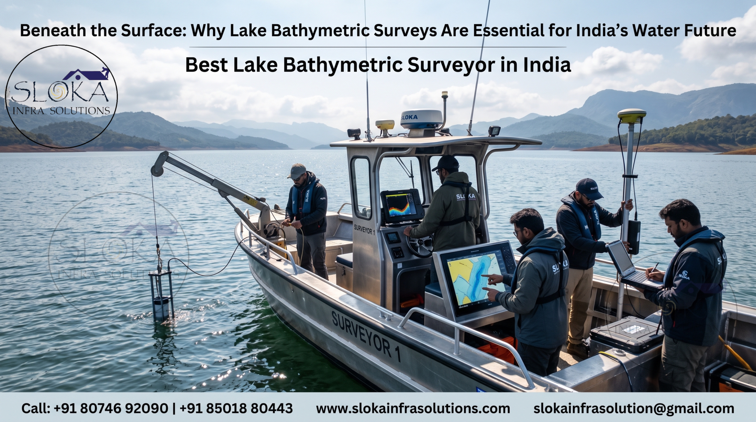
How Lake Bathymetric Surveys Are Conducted?
A successful survey begins with project planning, reconnaissance, and establishment of geodetic control points. Survey specialists determine navigation lines, water-level observation stations, and equipment configurations.
Field teams then acquire underwater data using acoustic instruments mounted on survey vessels, floating platforms, or unmanned surface vehicles. Simultaneously, RTK-GNSS systems record precise positioning information. Water-level corrections, sound velocity measurements, and quality checks are performed throughout data collection.
After field acquisition, hydrographic data undergoes extensive processing, including noise filtering, calibration, tide correction, and quality assurance. Final deliverables include depth contour maps, digital terrain models, cross-sections, three-dimensional visualizations, storage calculations, and GIS-ready datasets.
1)Single Beam Echo Sounder Survey
Single Beam Echo Sounder Survey remains one of the most widely adopted techniques for mapping lakes, reservoirs, ponds, and inland waterways. The system operates by transmitting acoustic pulses vertically toward the lake bed and measuring the travel time of reflected signals. This travel time is converted into water depth.
The equipment is generally mounted beneath a survey boat, which navigates along predefined survey lines. Each sounding point is precisely referenced using RTK-GNSS positioning systems, ensuring accurate spatial representation.
Single Beam surveys are especially suitable for small and medium-sized lakes, irrigation tanks, and reservoir monitoring programs. Because the method is economical and operationally flexible, government agencies frequently use it for periodic storage assessments.
Survey outputs include depth contours, longitudinal profiles, cross-sections, area-capacity curves, and sedimentation estimates. When integrated with topographic surveys and GIS databases, Single Beam data supports hydraulic analysis, dredging estimation, and reservoir rehabilitation initiatives. Despite technological advancements, Single Beam Echo Sounders continue to remain reliable tools for routine hydrographic investigations throughout India.
2)Multibeam Echo Sounder Survey
Multibeam Echo Sounder Survey represents the highest standard in modern bathymetric mapping. Unlike conventional systems that collect a single depth point at a time, multibeam technology emits numerous acoustic beams simultaneously, mapping an extensive swath of the lake floor during every survey pass.
The system integrates GNSS positioning, motion sensors, inertial navigation systems, and sound velocity profilers to achieve exceptional accuracy. Large reservoirs, hydropower impoundments, and strategic water bodies increasingly depend on multibeam surveys because they provide complete bottom coverage.
High-density datasets generated by multibeam systems reveal underwater ridges, depressions, scour zones, submerged structures, and sediment accumulation patterns with remarkable clarity. Three-dimensional models derived from these datasets significantly improve engineering interpretation.
Multibeam investigations are particularly valuable for dam safety assessments, dredging design, intake alignment studies, and detailed hydraulic modelling. Since the technology captures nearly one hundred percent bottom coverage, surveyors can confidently identify hazards that may remain undetected using traditional methods. Consequently, multibeam surveys are increasingly becoming the preferred choice for complex and high-value water infrastructure projects.
3)ADCP Survey
Acoustic Doppler Current Profiler, commonly known as ADCP Survey, is a specialized hydrographic technique used to measure water velocity, discharge, and flow behaviour throughout the water column. Unlike conventional bathymetric instruments that primarily measure depth, ADCP systems provide detailed hydraulic information essential for water-resource engineering.
The instrument transmits acoustic signals into the water. Suspended particles naturally present in the water reflect these signals back to the sensor. Using the Doppler principle, the instrument calculates current velocity at multiple depth intervals.
ADCP investigations are widely employed in lakes connected to rivers, reservoirs with significant inflow and outflow systems, and hydraulic structures such as spillways and intake channels. The technology enables engineers to understand circulation patterns, flow distribution, sediment transport mechanisms, and discharge characteristics.
Survey deliverables generally include velocity maps, discharge calculations, current profiles, and hydraulic assessments. Such information supports flood forecasting, dam operation, bridge design, scour evaluation, and environmental impact studies.
Modern ADCP systems integrated with RTK-GNSS deliver highly accurate geospatial outputs. As climate variability increasingly influences hydrological behaviour across India, ADCP surveys have become essential for developing resilient water-management strategies and improving operational efficiency of reservoirs and hydraulic infrastructure.
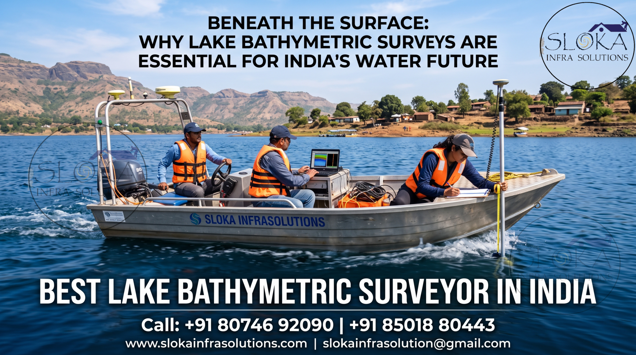
4)Side Scan Sonar
Side Scan Sonar technology provides detailed acoustic imagery of underwater environments and is invaluable when visual interpretation of lake-bed conditions is required. Instead of measuring only depth, Side Scan Sonar creates image-like representations of the bottom surface.
The system transmits acoustic pulses sideways from a towfish or hull-mounted transducer. Reflected signals are processed to produce high-resolution mosaics illustrating bed texture and underwater features.
Side Scan Sonar is extensively used to detect submerged trees, boulders, pipelines, debris, wreckage, intake obstructions, aquatic vegetation, and sediment patterns. Reservoir authorities frequently use the technology to identify hazards affecting navigation or infrastructure safety.
The technique is equally important during search and recovery operations, underwater inspections, and environmental investigations. Fisheries researchers also utilize sonar imagery to study habitat distribution and benthic characteristics.
When combined with bathymetric datasets, Side Scan Sonar provides a comprehensive understanding of underwater conditions. Engineers can evaluate potential risks before dredging, construction, or maintenance activities begin. As India’s inland waterways and reservoir networks expand, Side Scan Sonar continues to play a vital role in advanced hydrographic investigations and asset management programs.
5)Sub Bottom Profilers
Sub Bottom Profilers are specialized acoustic systems designed to investigate geological layers beneath the visible lake floor. While standard bathymetric instruments map only the surface, sub-bottom systems penetrate sediments and reveal buried stratigraphy.
The technology emits low-frequency acoustic energy capable of penetrating soft sediments. Reflections from subsurface layers are recorded and processed to create detailed geological profiles.
Sub Bottom Profilers help determine sediment thickness, silt accumulation rates, buried channels, hard-rock depth, and subsurface conditions. These insights are critical for reservoir sedimentation studies, dam rehabilitation projects, and infrastructure design.
Hydropower developers, dam authorities, and environmental agencies frequently rely on sub-bottom investigations to estimate storage losses caused by sediment deposition. Engineers can also evaluate foundation suitability for intake structures, jetties, pipelines, and other hydraulic facilities.
By integrating sub-bottom data with multibeam bathymetry, geotechnical investigations, and topographic surveys, project teams obtain a complete understanding of underwater and subsurface environments. Such knowledge minimizes engineering uncertainties, optimizes design decisions, and enhances long-term infrastructure performance.
Major Applications of Lake Bathymetric Surveys Across India:-
Drinking Water Reservoir Management
Many Indian cities depend on lakes and reservoirs for potable water supply. Accurate bathymetric data assists authorities in:
- Estimating live and dead storage.
- Assessing sediment accumulation.
- Planning desiltation activities.
- Evaluating intake structure performance.
- Forecasting future storage availability.
Irrigation Infrastructure
India’s extensive irrigation network relies on reservoirs and tanks for agricultural sustainability.
Bathymetric investigations support:
- Canal intake planning.
- Reservoir modernization.
- Capacity restoration programs.
- Sediment monitoring.
- Water allocation studies.
Hydropower Projects
Reservoir sedimentation significantly affects hydropower generation.
Regular underwater surveys help in:
- Measuring reservoir capacity loss.
- Assessing intake blockage.
- Evaluating scour conditions.
- Planning sediment management strategies.
- Optimizing power generation.
Flood Risk Assessment
Flood-prone regions require updated hydraulic information.
Bathymetric data contributes to:
- Flood inundation modelling.
- Watershed simulations.
- River-lake interaction studies.
- Dam-break analyses.
- Emergency preparedness planning.
Environmental and Ecological Studies
Lake ecosystems are highly sensitive to changes in underwater conditions.
Bathymetric surveys aid:
- Habitat mapping.
- Wetland conservation.
- Fishery management.
- Water-quality assessment.
- Biodiversity studies.
Unique Challenges in Surveying Indian Lakes:-
India’s geographical diversity presents several operational challenges during lake investigations.
Himalayan Lakes
High-altitude lakes in states such as Uttarakhand, Himachal Pradesh, and Jammu & Kashmir experience:
- Extreme weather conditions.
- Remote accessibility.
- Rapid water-level changes.
- Glacier-fed sediment influx.
Peninsular Reservoirs
Large reservoirs in Telangana, Andhra Pradesh, Karnataka, Maharashtra, and Tamil Nadu often encounter:
- Significant seasonal fluctuations.
- Heavy silt deposition.
- Dense aquatic vegetation.
- Wide survey extents.
Coastal and Backwater Lakes
Brackish water bodies along Kerala, Odisha, and West Bengal face:
- Tidal influences.
- Salinity variations.
- Dynamic sediment transport.
- Complex hydraulic interactions.
Urban Lakes
Rapid urbanization introduces challenges such as:
- Pollution.
- Floating debris.
- Encroachments.
- Restricted access zones.
Modern hydrographic technologies effectively address these complexities while maintaining survey accuracy.
Key Deliverables from Lake Surveys:-
- Bathymetric contour maps
- Three-dimensional terrain models
- Reservoir capacity calculations
- Sedimentation assessment reports
- Cross-sections and longitudinal profiles
- Area-elevation-capacity curves
- GIS databases
- CAD drawings
- Hydraulic modelling inputs
- Georeferenced imagery
- Survey methodology reports

Advancing Towards Smarter and Sustainable Lake Management:-
Emerging technologies such as unmanned surface vehicles, artificial intelligence, cloud processing, digital twins, and integrated GIS platforms are transforming hydrographic surveying. These innovations improve survey speed, safety, and accuracy while reducing operational costs. Lake Bathymetric Survey Services in India are therefore expected to play an even greater role in ensuring water security, climate resilience, and sustainable infrastructure development for future generations.
The Best Lake Bathymetric Surveyor in India delivers far more than depth measurements. By converting hidden underwater landscapes into actionable engineering intelligence, professional survey organizations help governments, utilities, and developers manage precious water resources safely, efficiently, and sustainably.