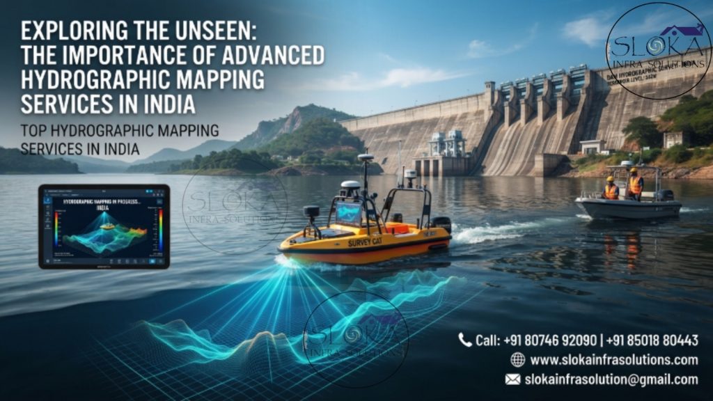
Top Hydrographic Mapping Services in India
Exploring the Unseen: The Importance of Advanced Hydrographic Mapping Services in India
Call: +91 80746 92090
Top Hydrographic Mapping Services in India are reshaping the way the nation understands, develops, and safeguards its vast water resources. From the glacier-fed rivers of the Himalayas and the sprawling reservoirs of central India to the bustling ports along the Arabian Sea and Bay of Bengal, accurate hydrographic mapping has become indispensable for modern infrastructure, navigation safety, environmental conservation, and sustainable economic growth. As India accelerates initiatives such as Sagarmala, Inland Waterways Development, Smart Ports, river interlinking projects, and renewable energy expansion, hydrographic mapping provides the underwater intelligence required to make informed decisions beneath the water surface—an area that remains invisible yet critically important.
Best Hydrographic Mapping Services in India
Best Hydrographic Mapping Services in India combine scientific expertise, advanced acoustic technologies, precise positioning systems, and sophisticated geospatial analytics to deliver highly accurate representations of underwater environments. Whether it is mapping sediment accumulation in reservoirs, identifying hazards in shipping channels, assessing river morphology, supporting offshore construction, or monitoring coastal erosion, hydrographic mapping enables engineers, planners, scientists, and policymakers to visualize the unseen underwater world with remarkable precision. In a country where water is both a strategic resource and an economic lifeline, hydrographic mapping is no longer an optional investigation—it is an essential foundation for sustainable development.
The Invisible Geography Beneath India’s Waters
India is often described by its mountains, plains, forests, and coastlines. Yet, beneath its rivers, lakes, reservoirs, estuaries, and seas lies another landscape—equally dynamic and equally significant.
This submerged geography constantly evolves due to:
- Sediment transport.
- Seasonal monsoons.
- River flow variations.
- Tidal action.
- Cyclonic events.
- Human activities, including dredging operations and dam development, continuously alter underwater environments.
Without understanding these underwater changes, critical infrastructure projects may face significant technical, environmental, and financial risks.
Hydrographic mapping transforms these hidden underwater terrains into detailed digital models, enabling stakeholders to visualize, analyze, and manage aquatic environments with confidence.
Why Hydrographic Mapping Matters More Than Ever in India?
India possesses one of the world’s most diverse hydrological systems.
The country encompasses:
- More than 7,500 km of coastline.
- Extensive river networks exceeding 195,000 km.
- Thousands of reservoirs and irrigation tanks.
- Major estuarine systems and wetlands.
- Growing inland waterways for cargo transportation.
- Numerous ports, fishing harbors, and offshore installations.
Rapid urbanization, industrialization, and climate variability are placing unprecedented pressure on these water resources.
Hydrographic mapping has therefore emerged as a strategic necessity for:
- Navigation safety.
- Reservoir management.
- Flood mitigation.
- Port modernization.
- Coastal resilience.
- Offshore infrastructure development.
- Environmental protection.
- Disaster risk reduction.
Accurate underwater information reduces uncertainty, minimizes project risks, and enhances long-term sustainability.
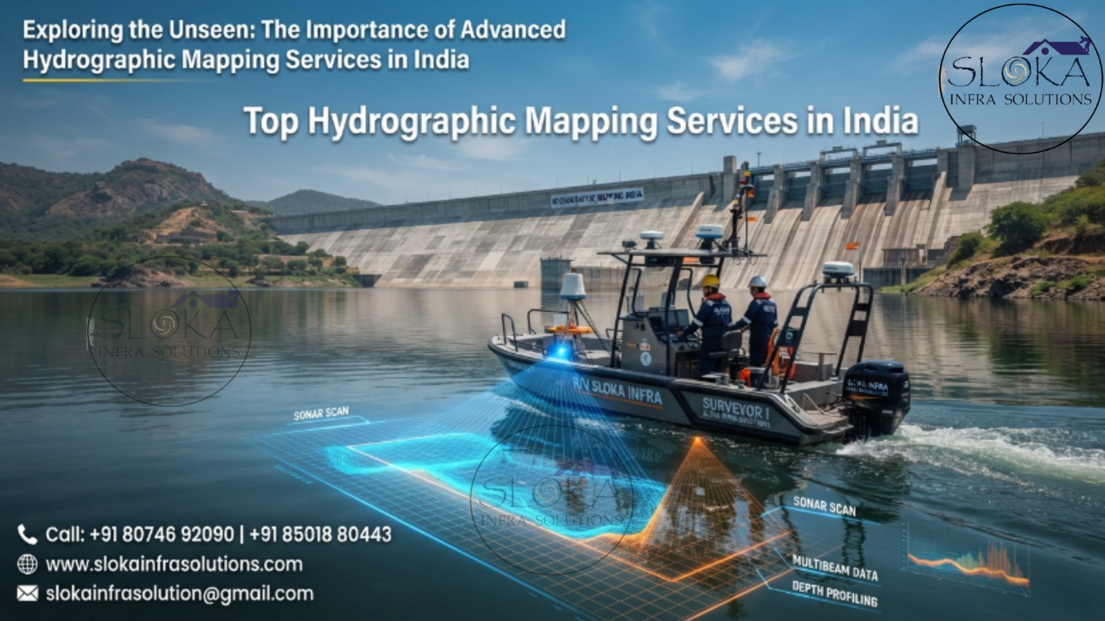
Key Sectors Benefiting from Hydrographic Mapping:-
Maritime and Port Infrastructure
India’s maritime sector handles enormous cargo volumes annually. Safe vessel movement depends upon updated underwater information.
Hydrographic mapping supports:
- Navigation channel maintenance.
- Berth design.
- Port expansion.
- Dredging management.
- Ship maneuverability analysis.
- Harbor safety assessments.
Major ports including Mumbai, Kandla, Chennai, Visakhapatnam, Cochin, Paradip, and Jawaharlal Nehru Port regularly depend on hydrographic surveys to maintain operational efficiency.
Inland Waterways Development
India is rapidly developing inland waterways to reduce transportation costs and improve logistics efficiency.
Hydrographic mapping enables:
- Channel alignment.
- Depth assessment.
- Navigation route optimization.
- Hazard identification.
- Seasonal navigability studies.
National Waterways such as the Ganga, Brahmaputra, Godavari, Krishna, and West Coast Canal require continuous hydrographic monitoring to support safe vessel operations.
Reservoir and Dam Management
India’s reservoirs form the backbone of irrigation, hydropower generation, and drinking water supply.
Over time, sediment accumulation reduces storage capacity.
Hydrographic mapping assists in:
- Reservoir capacity estimation.
- Sedimentation assessment.
- Dead storage evaluation.
- Desiltation planning.
- Dam safety studies.
- Long-term water resource management.
Reservoirs such as Hirakud, Nagarjuna Sagar, Bhakra Nangal, Tehri, Srisailam, and Indira Sagar require periodic hydrographic investigations to ensure optimum performance.
Advanced Technologies Driving Modern Hydrographic Mapping:-
The evolution of hydrographic mapping has been powered by revolutionary technological advancements.
Contemporary surveys integrate multiple technologies simultaneously to achieve comprehensive underwater characterization.
These technologies include:
- Single Beam Echo Sounders.
- Multibeam Echo Sounders.
- Acoustic Doppler Current Profilers.
- Side Scan Sonars.
- Sub Bottom Profilers.
- RTK-GNSS positioning.
- Inertial Navigation Systems.
- Unmanned Surface Vehicles.
- Autonomous Survey Platforms.
- Geographic Information Systems.
- Artificial Intelligence-assisted processing.
Together, these technologies generate high-resolution three-dimensional underwater models that were unimaginable just a few decades ago.
1.Single Beam Echo Sounder Survey: The Foundation of Bathymetric Mapping
The Single Beam Echo Sounder Survey (SBES) remains one of the most reliable and widely adopted hydrographic survey methodologies in India. Despite the emergence of advanced multibeam technologies, SBES continues to serve as the backbone of numerous inland and shallow-water survey projects.
The operating principle is elegantly simple yet highly effective. A transducer mounted beneath a survey vessel emits acoustic pulses vertically toward the waterbed. The time taken for these sound waves to return after striking the bottom is measured precisely, enabling accurate depth determination.
Single beam surveys are extensively utilized in:
- Rivers.
- Lakes.
- Reservoirs.
- Irrigation canals.
- Check dams.
- Inland waterways.
- Small harbors.
- Water supply reservoirs.
One of the greatest advantages of SBES lies in its cost efficiency and operational flexibility. It can be deployed rapidly even in remote locations where larger survey vessels cannot operate.
In India’s context, SBES surveys play a vital role in assessing sediment deposition within reservoirs. Sedimentation significantly reduces water storage capacity, affecting irrigation, drinking water supply, and hydropower generation. Through periodic bathymetric assessments, authorities can accurately quantify storage losses and plan corrective measures.
Modern SBES systems integrated with RTK-GNSS provide centimeter-level positioning accuracy, ensuring highly reliable bathymetric datasets. Advanced software subsequently converts raw observations into contour maps, digital terrain models, and volumetric calculations.
Although SBES acquires data directly beneath the vessel track, optimized survey line spacing combined with robust interpolation techniques enables highly accurate representation of underwater terrain for numerous engineering applications.
2.Multibeam Echo Sounder Survey: Delivering Complete Seafloor Intelligence
The Multibeam Echo Sounder Survey (MBES) represents the pinnacle of hydrographic mapping technology.
Unlike conventional single beam systems, multibeam sonars simultaneously transmit hundreds of acoustic beams across a broad swath beneath the vessel. This capability allows complete seafloor coverage in a single survey operation.
The result is an exceptionally detailed three-dimensional model of underwater topography.
Multibeam technology is increasingly indispensable for:
- Port modernization projects.
- Offshore engineering.
- Navigation channel surveys.
- Coastal zone management.
- Dredging volume estimation.
- Underwater archaeology.
- Habitat mapping.
- Marine infrastructure planning.
Indian ports undergoing expansion rely heavily on multibeam surveys to maintain navigational safety and optimize dredging operations.
The principal benefits include:
- Full bottom coverage.
- Ultra-high-resolution bathymetry.
- Rapid data acquisition.
- Precise volumetric analysis.
- Enhanced hazard detection.
- Detailed seabed characterization.
Advanced multibeam systems are integrated with:
- Motion reference units.
- Inertial navigation systems.
- Sound velocity profilers.
- Tide correction systems.
- RTK positioning.
These integrations ensure survey accuracy even under challenging sea conditions.
As India’s Blue Economy expands, Top Hydrographic Mapping Services in India increasingly utilize multibeam technologies to deliver world-class underwater intelligence.
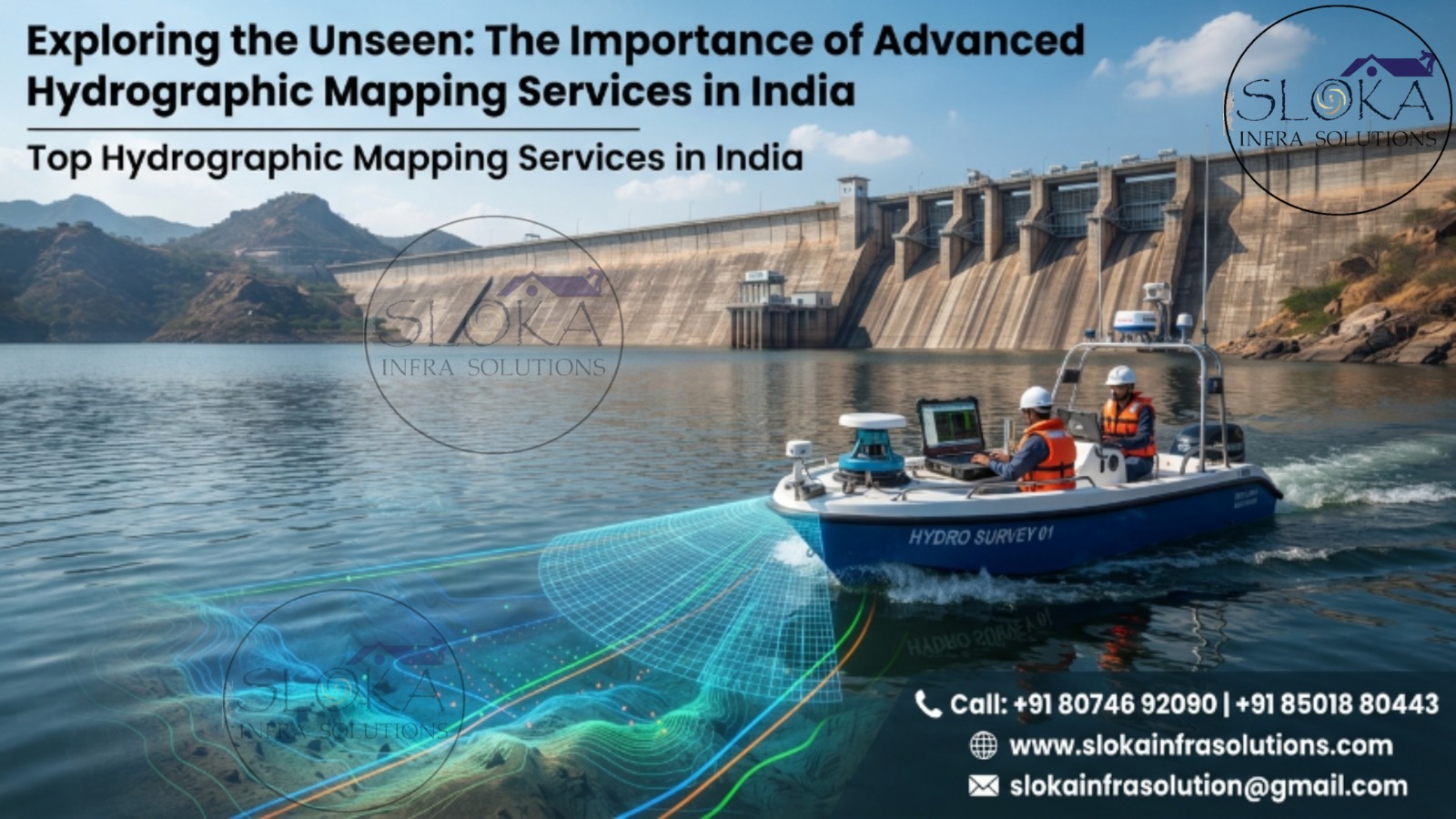
3.ADCP Survey: Understanding Water Movement in Motion
Water bodies are not static systems. Rivers, estuaries, reservoirs, and coastal zones continuously transport water and sediment.
Understanding these dynamic processes requires specialized measurements.
An Acoustic Doppler Current Profiler (ADCP) Survey is designed precisely for this purpose.
ADCP instruments emit acoustic signals into the water column and analyze Doppler frequency shifts generated by moving particles suspended within the water. This enables simultaneous measurement of water velocity at multiple depths.
ADCP surveys provide critical insights into:
- Flow velocity.
- Current direction.
- River discharge.
- Turbulence characteristics.
- Sediment transport.
- Hydraulic behavior.
India’s monsoon-dominated rivers exhibit substantial seasonal variability. Consequently, ADCP investigations have become indispensable for hydraulic engineering and flood risk assessment.
Applications include:
- Flood forecasting.
- Bridge design.
- Barrage construction.
- Hydropower development.
- River training works.
- Inland navigation planning.
- Coastal circulation studies.
Engineers rely on ADCP data to understand complex flow phenomena including eddies, secondary currents, and sediment transport pathways.
Modern ADCP systems can be mounted on survey vessels, unmanned surface vehicles, floating platforms, or deployed in stationary mode.
In an era characterized by increasing climate uncertainty, ADCP surveys provide the hydrodynamic intelligence necessary to develop resilient water infrastructure across India.
4.Side Scan Sonar: Producing Underwater Images with Exceptional Clarity
Depth alone cannot fully describe underwater environments.
Many applications require detailed imagery of the seafloor itself.
This is where Side Scan Sonar (SSS) becomes indispensable.
Side scan sonar systems transmit acoustic pulses sideways across the seabed, generating highly detailed sonar imagery resembling aerial photographs of the underwater surface.
Unlike echo sounders that primarily measure depth, side scan sonar reveals:
- Seabed texture.
- Submerged debris.
- Rock outcrops.
- Shipwrecks.
- Pipelines.
- Cables.
- Bridge scour.
- Underwater obstructions.
India’s busy ports, offshore facilities, and inland waterways depend extensively on side scan sonar investigations.
Major applications include:
- Wreck searches.
- Navigation hazard detection.
- Dredging support.
- Pipeline inspections.
- Port maintenance.
- Offshore asset monitoring.
- Underwater archaeology.
- Search and recovery operations.
One of the technology’s greatest strengths is its ability to rapidly survey extensive areas while delivering extremely high-resolution imagery.
When combined with bathymetric datasets, side scan sonar enables comprehensive interpretation of underwater environments.
For critical maritime projects, Best Hydrographic Mapping Services in India frequently integrate side scan sonar with multibeam bathymetry to achieve superior situational awareness.
5.Sub Bottom Profilers: Looking Beneath the Seabed Surface
The visible seabed often reveals only part of the story.
Engineering projects frequently require understanding what lies beneath the sediment surface.
A Sub Bottom Profiler (SBP) addresses this challenge by transmitting low-frequency acoustic energy capable of penetrating subsurface sediments.
The reflected signals generate cross-sectional profiles revealing buried geological features.
Sub-bottom profiling is indispensable for:
- Offshore foundation design.
- Port expansion projects.
- Bridge construction.
- Pipeline routing.
- Cable installation.
- Dredging investigations.
- Geotechnical studies.
Indian coastal regions, particularly deltaic environments such as the Ganga-Brahmaputra, Mahanadi, Krishna, and Godavari deltas, experience continuous sediment deposition and channel migration.
Sub-bottom profiling identifies:
- Sediment thickness.
- Buried channels.
- Hard strata.
- Paleochannels.
- Rock interfaces.
- Gas pockets.
- Geological discontinuities.
Such information significantly reduces construction risks while optimizing engineering design.
As offshore renewable energy, submarine utilities, and marine infrastructure continue expanding, sub-bottom profilers are becoming increasingly essential components of modern hydrographic investigations.
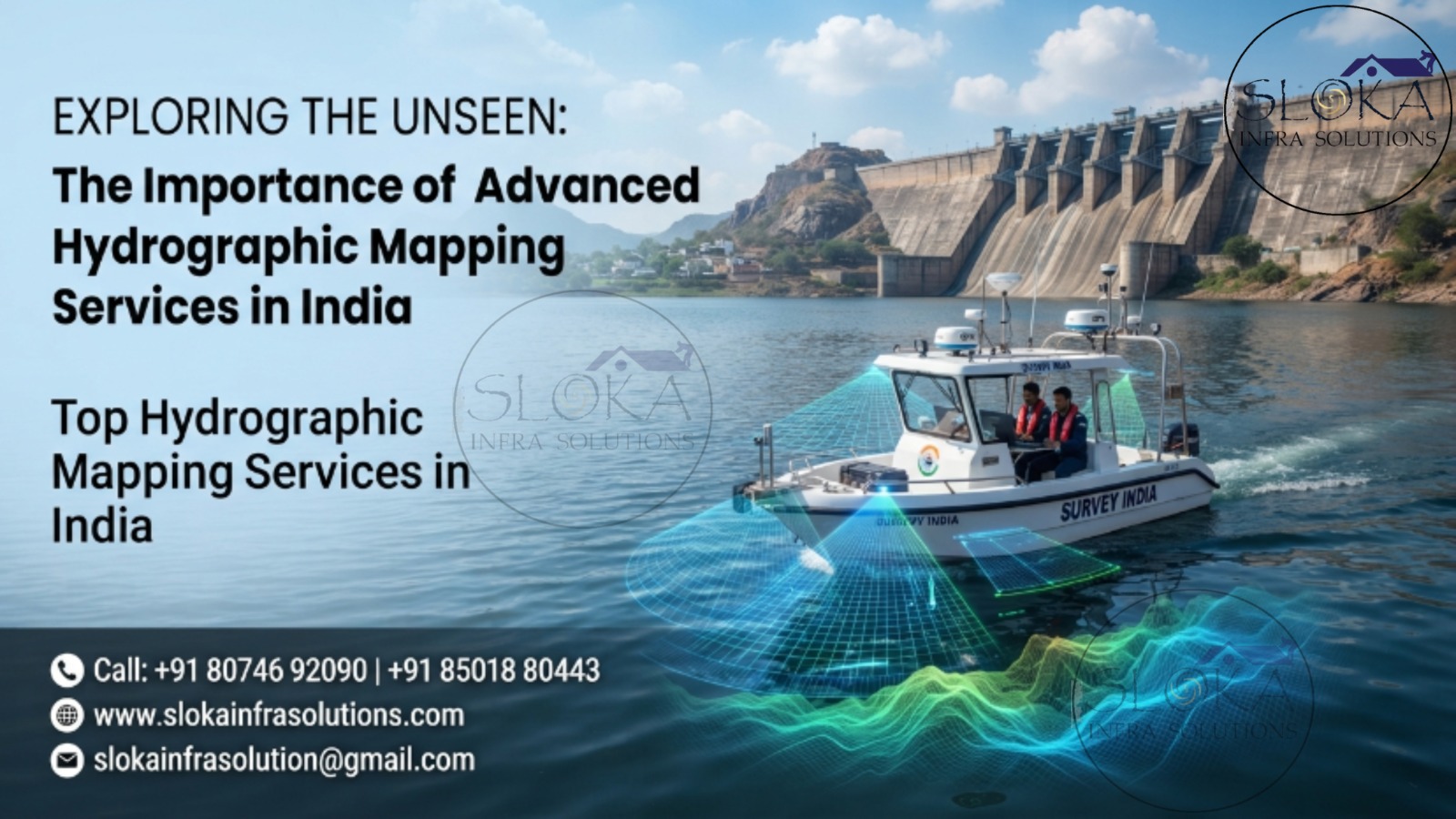
Redefining Underwater Surveys Through Intelligent Technologies:-
Hydrographic mapping is entering an era of unprecedented innovation.
Emerging technologies are transforming survey operations through:
- Artificial intelligence.
- Autonomous survey vessels.
- Cloud-based data processing.
- Machine learning analytics.
- Digital twin ecosystems.
- Real-time data streaming.
- Satellite-integrated monitoring.
- Robotic survey platforms.
These advancements are making surveys faster, safer, more accurate, and increasingly cost-effective.
The future will witness fully autonomous hydrographic ecosystems capable of continuously monitoring India’s rivers, reservoirs, coastlines, and offshore regions in near real time.
Transforming India’s Water Resources Through Advanced Hydrographic Intelligence:-
Hydrographic mapping is far more than the measurement of water depth—it is the science of revealing the hidden landscapes that govern navigation, infrastructure, ecosystems, and water security. In a geographically diverse nation like India, where rivers sustain civilizations, reservoirs support agriculture, and coastlines drive economic growth, accurate underwater intelligence has become indispensable. From single beam and multibeam surveys to ADCP investigations, side scan sonar imaging, and sub-bottom profiling, modern hydrographic technologies empower decision-makers to manage aquatic environments with confidence and precision. As India’s maritime ambitions, inland waterway networks, and climate resilience initiatives continue to expand, hydrographic mapping will remain a cornerstone of sustainable development, ensuring safer navigation, smarter infrastructure, and responsible stewardship of the nation’s invaluable water resources.