Single Beam Echo Sounder Survey Company In India
Call: +91 80746 92090
Single Beam Echo Sounder Survey in India: A Complete Guide for Infrastructure and Water Projects
Single Beam Echo Sounder Survey In India has become a go-to method for engineers, government bodies, and infrastructure developers who need reliable underwater depth data without the cost or complexity of larger survey systems. Whether it’s a small river crossing, a reservoir, or a coastal stretch, this technology gives project teams the numbers they need before any construction begins. Getting accurate depth data from a river, lake, or coastline sounds simple until you actually try to do it. That’s where specialized survey technology comes in, and it’s more important to modern construction than most people realize.
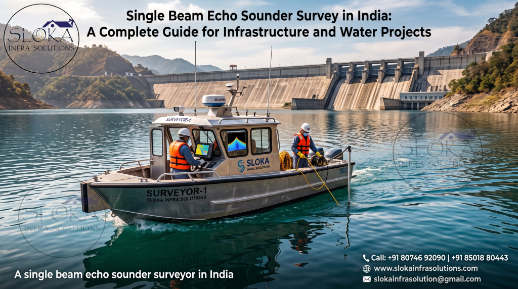
Single Beam Echo Sounder Surveyor In India
A single beam echo sounder surveyor in India brings a very specific skill set to the table — operating sonar equipment, positioning systems, and data processing software together to produce depth maps that engineers can actually trust. This guide breaks down what single beam echo sounder surveys are, how they work, where they’re used, and what to look for when choosing a survey team for your project.
What Is a Single Beam Echo Sounder Survey?
A single beam echo sounder, often shortened to SBES, is a piece of equipment that measures water depth using sound. It sends a single sound pulse straight down from a boat or vessel, and then measures how long it takes for that pulse to bounce off the riverbed, lakebed, or seafloor and return to the sensor.
Since sound travels at a known, predictable speed through water, the time delay can be converted into an accurate depth measurement. Do this repeatedly along a planned survey line, and you end up with a detailed profile of how deep the water is at different points.
Unlike multibeam systems, which send out a fan of sound waves and capture a wide strip of seafloor data with each ping, a single beam system only measures one point directly below the vessel at a time. That might sound like a limitation, but it actually makes single beam surveys faster to set up, more affordable, and perfectly suited for many common project needs.
How Does a Single Beam Echo Sounder Actually Work?
The basic process is straightforward once you break it down:
- A transducer is mounted on a survey boat, usually fixed to the hull or a pole, positioned so it points straight down into the water.
- The device sends out a sound pulse (a “ping”) that travels down through the water column.
- The pulse hits the riverbed or seafloor and bounces back as an echo.
- The system measures the time delay between sending the pulse and receiving the echo.
- That time is converted into a depth value, using the known speed of sound in water.
- A GPS or GNSS positioning system records the exact location of each depth reading, so every point can be mapped precisely.
- The boat moves along planned survey lines, repeating this process continuously to build a full depth profile of the area.
The final output is a set of depth points tied to exact coordinates, which can then be processed into contour maps, cross-sections, or 3D models depending on what the project needs.
Why Single Beam Surveys Still Matter in a World of Advanced Sonar
With more advanced technology like multibeam echo sounders and LiDAR systems available, some people assume single beam surveys are outdated. That’s not really true. Single beam technology still plays a major role in Indian survey work, especially for specific project types.
Here’s why single beam surveys remain relevant:
- Cost-effective – They require less equipment and setup time compared to multibeam systems, making them more budget-friendly for smaller projects.
- Ideal for narrow or shallow water bodies – Rivers, canals, small lakes, and irrigation channels don’t always need the wide-swath coverage a multibeam system provides.
- Faster deployment – Simpler equipment means quicker mobilization, which matters for projects on tight timelines.
- Great for quick reconnaissance – Before committing to a larger, more expensive survey, teams often use single beam data to get an initial picture of an area.
- Useful for quality control – Single beam readings can be used to cross-check and verify data collected through other survey methods.
In many cases, a single beam survey gives project teams exactly the level of detail they need, without paying for capability they won’t actually use.
Common Applications of Single Beam Echo Sounder Surveys
This type of survey isn’t limited to one industry. Across India, single beam echo sounder data supports a wide range of projects, including:
- River and reservoir depth mapping – Understanding how deep and how silted a water body is, which matters for water management and flood planning.
- Dredging projects – Measuring depth before and after dredging to confirm how much material was removed and whether target depths were achieved.
- Port and harbor maintenance – Checking depths near docks and channels to make sure vessels can navigate safely.
- Pipeline and cable route planning – Mapping underwater terrain before laying pipelines or cables across a river or coastal stretch.
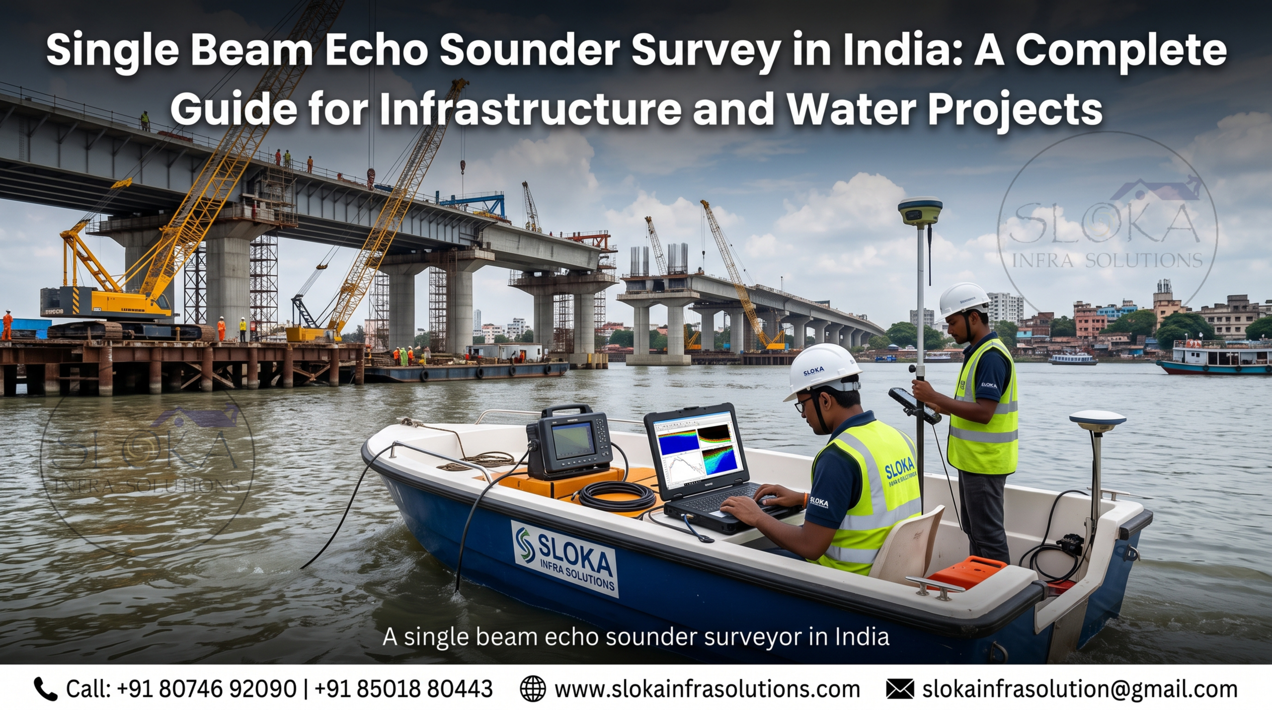
- Bridge and embankment projects – Providing depth data needed for foundation design near rivers and water crossings.
- Environmental monitoring – Tracking changes in water body depth and sediment levels over time, which helps with conservation and habitat studies.
- Irrigation and canal management – Assessing depth and siltation in canals to plan maintenance and desilting work.
Each of these applications depends on accurate, reliable depth data, which is exactly what a properly conducted single beam survey delivers.
Single Beam vs. Multibeam: Which One Do You Actually Need?
This is one of the most common questions project teams ask before starting a survey. The honest answer is that it depends entirely on the project’s scale and goals.
Single beam echo sounder surveys work well when:
- The water body is narrow, like a river, canal, or small lake
- The project has a limited budget or tight timeline
- Only a general depth profile is needed, not full seafloor coverage
- The survey is for initial reconnaissance before a bigger project phase
Multibeam surveys make more sense when:
- Full, dense 3D coverage of the seafloor is required
- The project involves large ports, harbors, or major dredging operations
- Precise mapping of underwater structures or obstacles is critical
- Budget allows for more advanced equipment and longer survey time
In many real-world projects, teams actually use both methods together. Single beam data can serve as a quick, cost-effective cross-check against multibeam results, helping confirm accuracy across the full dataset.

What Makes a Good Single Beam Echo Sounder Surveyor?
Operating the equipment is only part of the job. A skilled single beam echo sounder surveyor in India needs to understand several layers of technical detail to produce data that’s actually reliable.
- Proper Equipment Calibration
Sound travels at different speeds depending on water temperature, salinity, and depth. Surveyors need to account for this using sound velocity measurements, or the depth readings can be inaccurate.
- Accurate Positioning Systems
High-precision GNSS or DGPS systems are used alongside the echo sounder to make sure every depth reading is tied to the exact correct location. Without accurate positioning, even perfect depth data becomes far less useful.
- Motion Correction
Boats move with waves, currents, and wind, tilting slightly as they travel. Skilled surveyors account for this movement, called heave, pitch, and roll, to avoid depth errors caused by the boat itself shifting position.
- Tide and Water Level Adjustments
Water levels change with tides and seasonal variation, so all depth data needs to be tied back to a consistent reference point, called a vertical datum, to make the final results meaningful and comparable over time.
- Careful Data Processing
Raw survey data almost always needs cleaning and processing afterward, removing noise, correcting for known errors, and converting raw readings into usable maps, charts, or reports.
A surveyor who understands all of these layers produces data that engineers and planners can actually rely on for real decision-making, not just a rough estimate.
What to Expect From a Professional Survey Company
If you’re hiring a team for a single beam echo sounder survey in India, here’s what a professional, well-run process typically looks like:
- Initial project consultation – Understanding the site, project goals, and required accuracy level.
- Survey planning – Mapping out survey lines, timing, and equipment needs based on the water body and project scope.
- Field data collection – Deploying the boat, echo sounder, and positioning systems to collect depth readings along planned lines.
- Quality checks during collection – Verifying data consistency and accuracy while still out in the field, so issues can be caught early.
- Post-processing – Cleaning and correcting the raw data, applying tide and sound velocity corrections.
- Final deliverables – Producing depth maps, contour plots, cross-sections, or reports formatted for engineering and planning use.
Sloka Infra Solutions: Survey Expertise Across Land and Water
Sloka Infra Solutions, based in Hyderabad with an additional presence in Nagarkurnool, Telangana, works across a wide range of survey services for infrastructure and environmental projects. Their scope includes hydrographic surveys like bathymetric and single beam echo sounder surveys, ADCP surveys for water flow measurement, side scan sonar, sub-bottom profiling, and underwater ROV inspections.
Alongside water-based surveys, the team also handles land survey work, including topographic surveys, DGPS surveys, drone-based mapping, and ground penetrating radar surveys. This combination of land and water survey capability means project teams working on mixed-terrain developments, like river crossings, ports, or pipeline routes, can work with a single team that understands both sides of the project.
For infrastructure developers, government agencies, and engineering firms across India looking for reliable depth data, working with an experienced survey team that understands the technical detail behind accurate readings makes a real difference in project outcomes.
Common Mistakes to Avoid When Commissioning a Survey
Even experienced project teams sometimes run into avoidable issues when planning a survey. A few common pitfalls include:
- Skipping sound velocity checks – Ignoring changes in water temperature and salinity can lead to depth errors, especially in estuaries where fresh and salt water mix.
- Choosing the wrong survey method for the project scale – Using a full multibeam system for a small canal, or a single beam system where dense 3D coverage is actually needed.
- Not verifying the surveyor’s positioning accuracy – Depth data is only as good as the location data tied to it.
- Ignoring tidal and seasonal water level changes – Data collected without proper vertical datum correction can be misleading later.
- Overlooking post-processing quality – Raw field data almost always needs proper cleaning and correction before it’s genuinely usable.
Working with an experienced survey partner helps avoid these issues from the start, saving both time and money later in the project.
Frequently Asked Questions
- What is a single beam echo sounder survey used for? It’s used to measure water depth accurately along a survey line, supporting projects like dredging, port maintenance, pipeline planning, bridge construction, and environmental monitoring.
- How is a single beam echo sounder different from a multibeam system? A single beam system measures depth at one point directly below the boat with each ping, while a multibeam system captures a wider swath of seafloor data at once. Single beam surveys are generally faster to deploy and more cost-effective for smaller or narrower water bodies.
- Is a single beam echo sounder survey accurate enough for engineering projects? Yes, when conducted properly with correct calibration, positioning, and data processing, single beam surveys provide reliable depth data suitable for engineering and planning decisions.
- What kind of water bodies are best suited for single beam surveys? Rivers, canals, small lakes, reservoirs, and other narrower water bodies are particularly well suited to single beam echo sounder surveys, since full multibeam coverage often isn’t necessary in these settings.
- How long does a single beam echo sounder survey typically take? Timeframes vary based on the size of the area and complexity of the project, but single beam surveys are generally faster to complete than multibeam surveys due to simpler equipment and setup.
- Why does positioning accuracy matter so much in these surveys? Depth data is only useful if it’s tied to the correct location. High-precision GNSS or DGPS positioning ensures every depth reading can be accurately mapped and used for planning or construction decisions.
Final Thoughts
Accurate underwater depth data isn’t just a technical formality — it’s the foundation that engineering decisions, dredging plans, and infrastructure projects are built on. A single beam echo sounder survey in India offers a practical, cost-effective way to get that data, especially for rivers, canals, and smaller water bodies where a full multibeam setup isn’t necessary.
If your project needs dependable depth mapping, working with an experienced single beam echo sounder surveyor in India, like the team at Sloka Infra Solutions, can help make sure the data you’re building on is accurate from day one. Reach out to discuss your project’s specific survey needs and get a clearer picture of what lies beneath the surface.