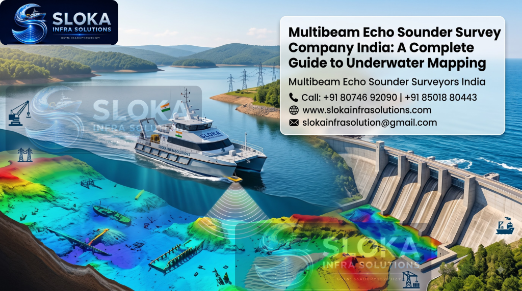
Multibeam Echo Sounder Survey Company India
Multibeam Echo Sounder Survey Company India: A Complete Guide to Underwater Mapping
Multibeam Echo Sounder Survey Company India services exist to solve exactly this problem. These companies use sonar technology to create precise 3D maps of underwater terrain, giving engineers, government bodies, and private developers the data they need to plan safely. Whether it’s a dam, a port, a bridge, or a river crossing, this kind of survey has quietly become one of the most important early steps in Indian infrastructure work.
Multibeam Echo Sounder Surveyors India
Multibeam Echo Sounder Surveyors India teams work across a huge range of settings — from calm inland reservoirs to busy coastal ports, from narrow canals to wide, fast-flowing rivers. Their job is to turn invisible underwater terrain into usable, accurate data that engineers can actually build plans around. Call: +91 80746 92090.
What Is a Multibeam Echo Sounder Survey?
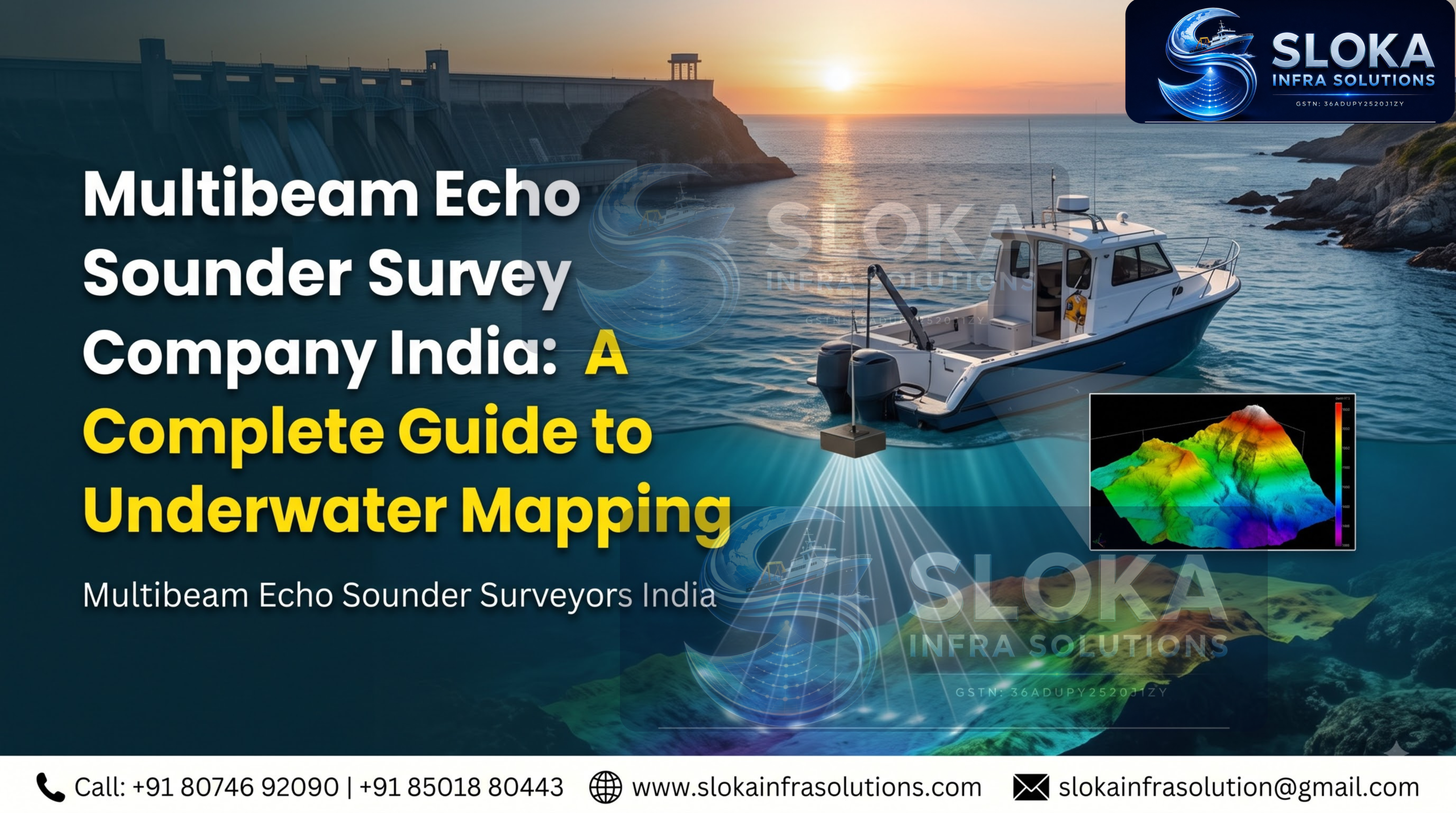
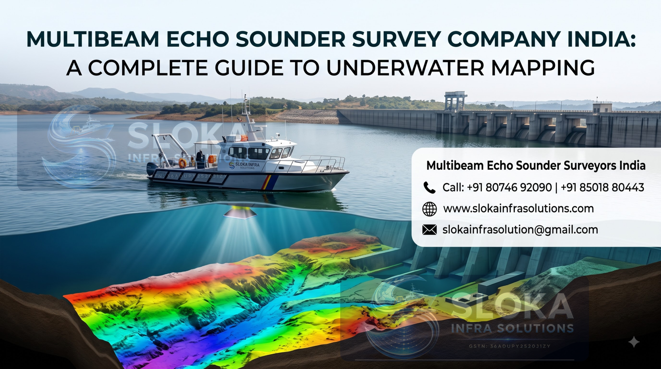
A multibeam echo sounder is a sonar device that sends out dozens, sometimes hundreds, of sound beams at once, instead of just one. Each beam bounces off the seabed or riverbed and returns to the sensor, giving a detailed picture of the depth and shape of the underwater surface across a wide swath of ground in a single pass.
Unlike older single-beam methods, which measure depth one point at a time directly under the boat, multibeam technology covers a much wider area with every pass. This changes the entire economics and accuracy of a survey project.
Here’s what that difference looks like in practice:
- Faster survey times, since one pass covers far more ground
- Higher resolution data, with far fewer gaps between depth readings
- Better coverage of uneven, rocky, or complex terrain
- Fewer repeat visits needed to fill in missing sections
- More reliable volume calculations for silt, sediment, or dredged material
The result is a full 3D model of the underwater area, often accurate down to a few centimetres. Engineers can rotate this model, slice cross-sections through it, and measure exact volumes — something that simply wasn’t possible with older survey methods.
Why Multibeam Surveys Matter for India
India has thousands of kilometres of coastline, hundreds of major rivers, and an enormous number of dams and reservoirs, many of them decades old. Every one of these water bodies changes over time due to sediment deposits, erosion, seasonal flooding, and human activity like construction, dredging, and irrigation.
A Multibeam Echo Sounder Survey Company India team can track these changes accurately, which supports decisions across several sectors:
- Dam and reservoir management — measuring silt buildup to plan de-silting work and estimate remaining storage capacity
- Port and harbour development — checking channel depths so ships of the right size can navigate safely
- Bridge construction — mapping riverbeds before piling and foundation work begins
- Dredging projects — calculating exact volumes of material that need to be removed, which directly affects project cost
- Underwater pipeline and cable routing — identifying obstacles, slopes, and unstable seabed sections before laying infrastructure
- Flood modelling — understanding how riverbed shape influences water flow during heavy rainfall
Without this data, projects run a real risk of costly design errors, safety issues, budget overruns, or delays during regulatory approval. Getting the underwater picture right at the start tends to save far more money than it costs.
How the Survey Process Works
A typical multibeam survey follows a clear, structured process, though the exact steps can shift slightly depending on the site. Here’s what it usually looks like from start to finish:
- Site assessment — Surveyors study the area, water depth, current strength, and access points before starting, often reviewing satellite imagery and older survey data if it exists.
- Equipment setup — The multibeam sensor is mounted on a boat or an unmanned surface vehicle, along with GPS positioning and motion sensors that track the vessel’s tilt and movement.
- Calibration — The system is calibrated to account for water temperature, salinity, and vessel movement, since these factors all affect how fast sound travels through water.
- Data collection — The vessel moves across the water in carefully planned lines, collecting depth data continuously as it goes.
- Post-processing — Raw sonar data is cleaned, corrected for errors, and converted into 3D maps, contour charts, or volume reports.
- Quality checks — Data is cross-checked against reference points to confirm accuracy before it’s finalised.
- Reporting — Final deliverables typically include depth charts, cross-sections, volume calculations, and sometimes animated 3D visuals for presentations.
Experienced Multibeam Echo Sounder Surveyors India teams know how to handle tricky conditions like strong currents, shallow zones, heavy vessel traffic, and even seasonal water level changes without losing data quality along the way.
Applications Across Industries
Multibeam surveys aren’t limited to one sector. Across India, they show up in a surprisingly wide range of projects.
Water Resource Management
Government departments use multibeam data to monitor reservoir capacity, track sediment accumulation, and plan water release schedules more accurately, especially ahead of monsoon season.
Infrastructure Projects
Bridges, jetties, retaining walls, and underwater pipelines all need a clear picture of the seabed or riverbed before construction can safely begin. Skipping this step is one of the most common causes of foundation problems later on.
Renewable Energy
Floating solar projects, which are becoming more common on Indian reservoirs, need bathymetric data to design anchoring systems that can handle depth changes, currents, and seasonal water level shifts.
Environmental Monitoring
Researchers and environmental agencies use multibeam surveys to study sediment transport, erosion patterns, and underwater habitat mapping in rivers, lakes, and coastal zones.
Port and Shipping Operations
Port authorities rely on regular multibeam surveys to confirm channel depths remain safe for the vessels using them, since silt buildup can quietly reduce navigable depth over time.
What Makes a Multibeam Survey Accurate
Accuracy doesn’t come from the sensor alone. A few things need to line up correctly for the final data to be trustworthy:
- Proper calibration before every survey, since water conditions change from site to site
- Skilled operators who understand how to read live data and spot problems as they happen
- Correct vessel speed — moving too fast can leave gaps in coverage
- Good positioning systems so every depth reading is tied to an exact location
- Careful post-processing to filter out noise, fish, debris, or vessel wake from the raw data
A survey company that skips any of these steps can still produce a map — it just won’t be one you can trust for engineering decisions.
Why Choose a Professional Survey Company
Not all survey providers offer the same level of accuracy or equipment quality, and the gap between a good survey and a poor one often doesn’t show up until construction has already started. A good Multibeam Echo Sounder Survey Company India should offer:
- Modern, well-calibrated multibeam systems, not outdated sensors
- Experienced field surveyors and data analysts who understand Indian water conditions
- Fast turnaround on reports without cutting corners on accuracy
- Clear, easy-to-understand deliverables, not just raw data dumps that only a specialist can interpret
- Experience across different water bodies — rivers, dams, ports, canals, and coastal zones
Sloka Infra Solutions is one of the companies working in this space across India, offering multibeam and other hydrographic survey services for dams, reservoirs, rivers, and coastal projects. Their teams handle everything from field data collection to final reporting, which helps clients avoid the hassle of managing multiple vendors for a single project.
Common Mistakes to Avoid When Hiring a Survey Team
- Choosing the cheapest option without checking equipment quality — outdated sensors give unreliable data that can lead to expensive mistakes later.
- Skipping site-specific planning — every water body has different depth, current, and access challenges that need to be accounted for.
- Ignoring post-processing expertise — raw sonar data is only useful once it’s properly cleaned, corrected, and interpreted by someone who knows what they’re looking at.
- Not asking for sample reports — always review past work before signing on, so you know what your final deliverable will actually look like.
- Forgetting to plan around seasonal water levels — surveying during the wrong season can affect both access and the usefulness of the data collected.
Frequently Asked Questions
- What is the difference between single beam and multibeam echo sounder surveys? Single beam sounders measure depth at one point directly below the vessel, while multibeam sounders capture dozens of depth points across a wide area at once, giving much more detailed and complete coverage of the underwater surface.
- How accurate is a multibeam echo sounder survey? Modern multibeam systems can achieve accuracy within a few centimetres, depending on water depth, equipment quality, and how carefully the system was calibrated before the survey.
- How long does a multibeam survey take to complete? This depends heavily on the size of the water body. Small reservoirs might take a day or two, while larger rivers or coastal areas can take one to two weeks, sometimes longer for very large or complex sites.
- Can multibeam surveys be done in shallow water? Yes, though very shallow areas sometimes need smaller vessels or unmanned surface vehicles to get accurate readings without risking equipment damage or missing data near the edges.
- Who typically needs a multibeam echo sounder survey? Government water departments, dam and reservoir operators, port authorities, construction companies, and renewable energy developers are the most common clients for this kind of survey work.
- Is multibeam survey data useful for legal or regulatory approvals? Yes. Many infrastructure and dredging projects in India require certified bathymetric data as part of environmental clearance or project approval documentation, which makes accurate survey work a legal necessity, not just a technical one.
Final Thoughts
Underwater terrain doesn’t stay the same for long, and guessing isn’t a safe strategy for any water-related project, no matter how small it seems at first. A proper Multibeam Echo Sounder Survey Company India brings the accuracy and detail that engineers, planners, and government bodies need to make confident, well-informed decisions from day one.
If you’re planning a project that touches a river, reservoir, dam, or coastline, it’s worth getting in touch with experienced Multibeam Echo Sounder Surveyors India before finalising your plans. Sloka Infra Solutions can be reached at +91 80746 92090 to discuss survey requirements for your specific site.