Hydrographic Survey For Dams In India
Hydrographic Survey For Dams In India has become one of the most requested engineering services in the water infrastructure sector over the last few years. This isn’t a trend driven by marketing — it’s driven by numbers. India ranks third in the world for the number of large dams it has built, with over 5,700 completed and hundreds more under construction. A large share of these structures are already past 50 years old, some even older than 120 years, and every one of them is silting up faster than the engineers who designed them ever expected. India has more ageing dams than almost any country on earth, and most of them are quietly losing storage capacity every single monsoon. If you own, operate, or regulate a dam, this is the blog that explains what’s actually happening under the water and what you can do about it.
Hydrographic Surveyors For Dams In India
Hydrographic surveyors for dams in India are the people who actually go out on the reservoir, run the sonar equipment, and turn raw depth readings into usable engineering data. Without their work, dam operators are essentially flying blind — making decisions about spillway capacity, desilting priorities, and safety classifications based on decades-old design assumptions instead of what’s really sitting at the bottom of the reservoir today.
What Exactly Is a Hydrographic Survey for a Dam?
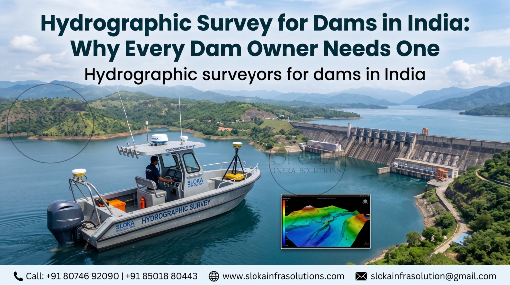
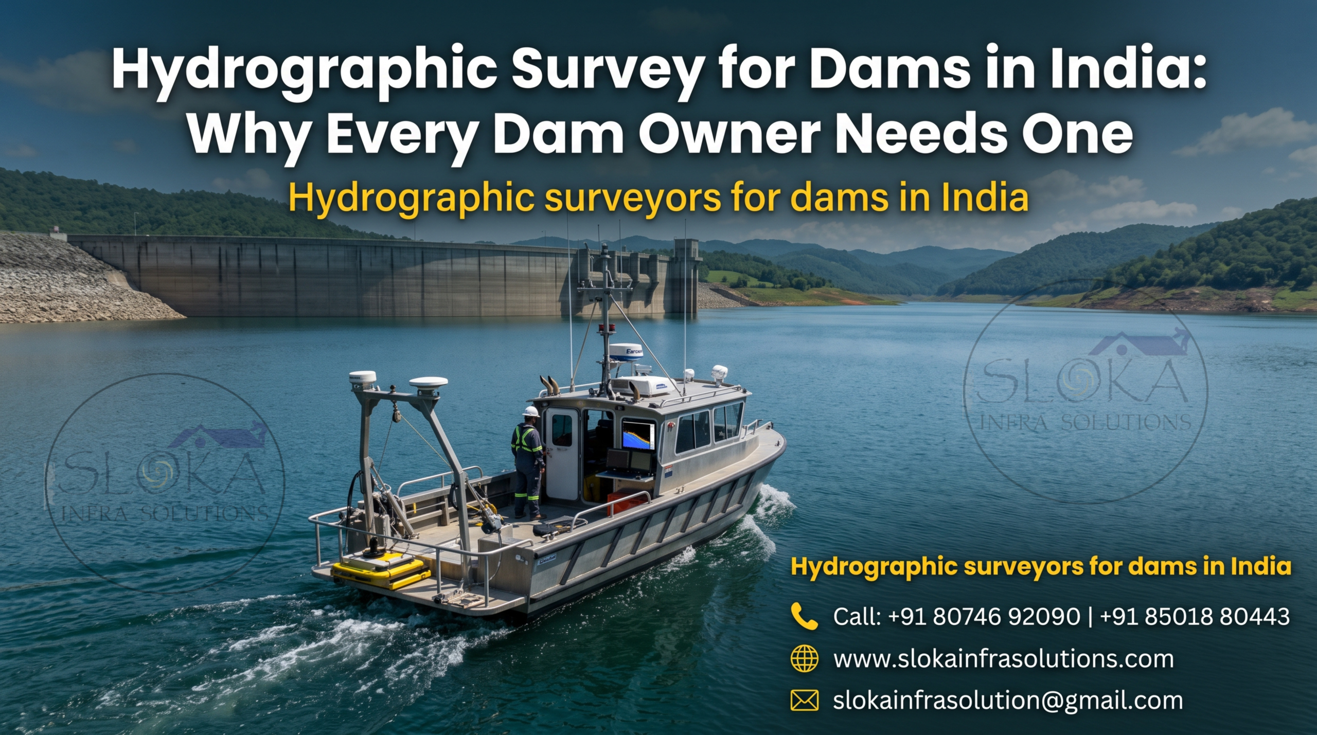
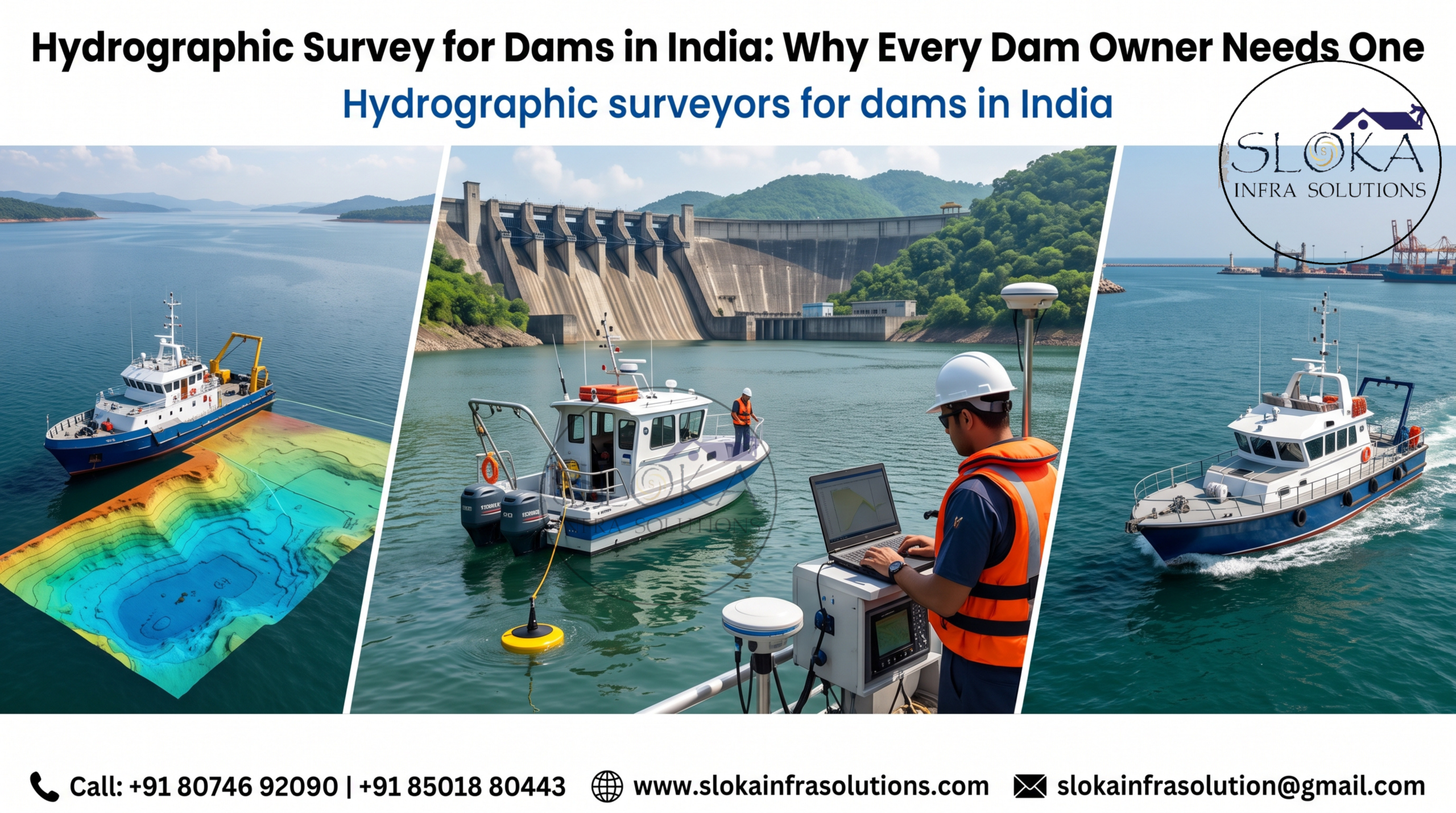
A hydrographic survey for a dam measures the depth and shape of the reservoir bed, the area immediately upstream of the dam wall, and often the banks and catchment terrain too. Surveyors use sonar equipment mounted on boats or unmanned survey vessels to send out sound pulses that bounce off the reservoir floor and come back with a depth reading.
Put together, thousands of these readings create a digital terrain model — essentially a 3D map of what’s underwater. Engineers then compare this map to the original design drawings from when the dam was first built, and the difference tells them exactly how much storage capacity has been lost to sediment.
This isn’t just about depth, either. A full survey typically covers:
- Bathymetry — depth mapping of the entire reservoir bed
- Sediment volume calculation — how much silt has accumulated and where
- Scour detection — checking for erosion near intake structures, spillways, and the dam toe
- Bank profiling — mapping the shoreline and adjacent slopes
- Cross-sections near the dam wall — critical zones that need the highest resolution data
Why Sedimentation Is the Real Crisis Nobody Talks About
Every river carries sediment. When that river hits a dam, the water slows down and drops its load right where you don’t want it — in the reservoir. Over decades, this steadily eats into the space meant for storing water.
The scale of this problem in India is bigger than most people realise. Reservoir sedimentation happens faster in Indian rivers than in most parts of the world, mainly because of monsoon intensity, deforestation in catchment areas, and soil erosion upstream. Reservoirs that were designed in the 1960s and 70s using sediment estimates from that era are now discovering the real numbers were far too optimistic.
A few real consequences of unmanaged sedimentation:
- Reduced live storage — less water available for irrigation, drinking supply, or hydropower generation
- Changed flood behaviour — a silted reservoir can’t absorb flood peaks the way it was designed to
- Intake and turbine risk — sediment near intake structures can damage equipment and reduce power generation efficiency
- Inaccurate elevation-capacity curves — the tables engineers use to plan releases become unreliable
Case studies from Indian reservoirs consistently show this pattern. Research on smaller reservoirs like the Dholbaha dam in Punjab has documented substantial live storage capacity reductions over just a few decades, almost entirely because of sediment build-up — a pattern echoed by Central Water Commission studies at much larger sites like the Indira Sagar and Krishnagiri reservoirs.
The Dam Safety Act, 2021 — Why This Is No Longer Optional
For years, dam monitoring in India was inconsistent — some states did it well, most didn’t do it at all. That changed with the Dam Safety Act, 2021, which created a unified national framework for dam surveillance, inspection, and safety review.
Under this law, any dam taller than 15 metres — or between 10 and 15 metres with certain structural conditions — is classified as a “specified dam” and falls under mandatory oversight. This covers thousands of structures across the country. The Act established the National Dam Safety Authority (NDSA) at the central level and State Dam Safety Organisations (SDSOs) in each state, and it requires:
- Pre-monsoon and post-monsoon inspections
- Inspections after earthquakes, floods, or any sign of structural distress
- Emergency Action Plans for every specified dam
- Comprehensive safety reviews on a periodic basis
- Real-time instrumentation and monitoring records
None of these requirements can be meaningfully met without current bathymetric and hydrographic data. You cannot write an accurate Emergency Action Plan, calculate spillway capacity, or complete a structural safety review using survey data from 20 years ago. This is exactly why demand for hydrographic survey for dams in India has grown so sharply since the Act came into force.
How the Survey Process Actually Works
Step 1: Pre-survey planning Surveyors study the dam’s original design drawings, previous survey reports if any exist, and set up a grid of survey lines across the reservoir.
Step 2: Equipment mobilisation Depending on the reservoir size, teams deploy single-beam or multi-beam echo sounders mounted on boats, backed up by GPS positioning systems for precise location tracking.
Step 3: Data collection The survey vessel runs along pre-planned transects across the entire reservoir, with denser coverage near the dam wall, spillway, and intake structures where precision matters most.
Step 4: Data processing Raw sonar returns get cleaned, corrected for water level and tide where relevant, and converted into a digital terrain model.
Step 5: Reporting The final deliverable compares current reservoir capacity against the original design capacity, flags sediment hotspots, and often includes 3D visualisations engineers can use directly for planning.

Single-Beam vs Multi-Beam: What Should You Choose?
This is one of the most common questions dam owners ask, and the honest answer is: it depends on your reservoir and your budget.
Single-beam echo sounders measure depth directly below the boat, one point at a time. They’re cost-effective, reliable, and perfectly adequate for large reservoirs where a grid of transect lines gives you enough data density. Most large Indian reservoir studies, including major Central Water Commission projects, still rely heavily on single-beam systems combined with well-planned transects.
Multi-beam echo sounders (MBES) send out a fan of acoustic beams simultaneously, capturing hundreds of depth points in a single pass. This gives you far higher resolution and is the better choice for critical zones — near the dam toe, spillway approach, and intake structures — where you need to know exactly what the seabed looks like, not just an approximation.
Many hydrographic surveyors for dams in India now combine both methods: single-beam for overall reservoir coverage, multi-beam for the high-risk zones close to the dam structure itself. This gives you accurate storage-capacity numbers without paying multi-beam prices for the entire reservoir.
Who Actually Needs This Survey?
- State irrigation and water resource departments managing reservoir operations
- Hydropower companies who need accurate intake and turbine planning data
- Dam Safety Organisations fulfilling their statutory obligations under the Dam Safety Act
- Consulting engineers preparing rehabilitation and desilting proposals
- Private dam owners covered under the “specified dam” classification
- Disaster management authorities updating flood inundation models
What Sloka Infra Solutions Brings to This Work
Sloka Infra Solutions has been building a strong track record in hydrographic and bathymetric survey work across Indian reservoirs and dam sites, using a combination of single-beam and multi-beam echo sounders depending on what each project actually needs. The team’s approach focuses on giving dam operators data they can actually act on — sediment volumes, updated capacity curves, and clear identification of problem zones — rather than just handing over a stack of raw numbers.
Given how central sedimentation and structural monitoring have become under the new dam safety regulations, having a survey partner who understands both the technical side and the compliance side matters more than it used to.
Common Mistakes Dam Owners Make
- Waiting too long between surveys. Sediment doesn’t accumulate evenly, and gaps of 10+ years between surveys mean you’re planning around outdated numbers.
- Skipping the critical zones. A general reservoir survey that ignores the area right around the dam wall misses the data that matters most for safety.
- Not integrating survey data with dam safety records. Under the Dam Safety Act, survey findings need to feed directly into inspection reports and Emergency Action Plans, not sit in a separate file.
- Choosing survey resolution based on cost alone. Cutting corners on multi-beam coverage near intake structures can hide real risks.
FAQs
How often should a dam undergo a hydrographic survey? Most engineering guidance recommends a full bathymetric survey every 5 to 10 years for large reservoirs, with more frequent surveys for dams showing rapid sedimentation or those classified as high-hazard under the Dam Safety Act.
What’s the difference between a hydrographic survey and a bathymetric survey? Bathymetric survey specifically refers to depth mapping of the water body. Hydrographic survey is the broader term, and for dams it usually includes bathymetry plus sediment analysis, bank profiling, and sometimes flow measurement.
Is hydrographic survey mandatory under the Dam Safety Act, 2021? The Act doesn’t name “hydrographic survey” explicitly, but it mandates inspections, safety reviews, and Emergency Action Plans that are practically impossible to complete accurately without current bathymetric data.
How long does a dam reservoir survey take? It depends on reservoir size, but a mid-sized reservoir typically takes anywhere from a few days to a couple of weeks for data collection, followed by processing and reporting time.
Can hydrographic surveys detect dam safety risks directly? Yes, to an extent. Scour near the dam toe, unexpected depth changes near intake structures, and abnormal sediment patterns can all flag structural or operational concerns that need further investigation.
What equipment do hydrographic surveyors for dams in India typically use? Single-beam and multi-beam echo sounders, GPS positioning systems, and increasingly sub-bottom profilers for sediment layer analysis, all mounted on survey boats or unmanned survey vessels.
Final Word
Dams don’t fail overnight, but they do quietly lose capacity every single year that goes by without proper monitoring. Getting a hydrographic survey for dams in India isn’t a compliance checkbox — it’s the only way to actually know what your reservoir looks like today versus what the original engineers assumed decades ago. If your dam hasn’t been surveyed recently, or your data predates the Dam Safety Act, it’s worth getting in touch with a team that can walk you through what an updated survey would show. Sloka Infra Solutions can be reached at 80746 92090 to discuss reservoir-specific survey planning.