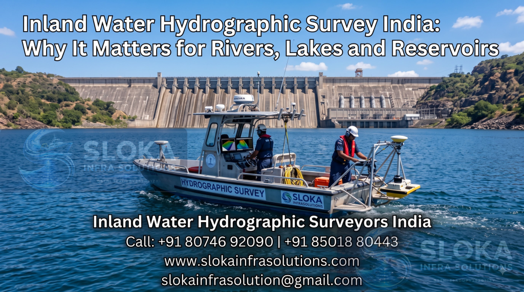
Inland Water Hydrographic Survey India
Call: +91 80746 92090
Inland Water Hydrographic Survey India: Why It Matters for Rivers, Lakes and Reservoirs
Inland Water Hydrographic Survey India work focuses exactly on this. It involves mapping the depth, shape, and condition of freshwater bodies so engineers and planners have reliable data before building dams, bridges, canals, or intake structures. This kind of survey has become increasingly important as India’s water infrastructure ages and demand for accurate, up-to-date planning data keeps growing.
Inland Water Hydrographic Surveyors India
Inland Water Hydrographic Surveyors India teams are trained to handle very different conditions from open-sea surveys — narrow rivers, seasonal water level changes, silt-heavy reservoirs, and irregular canal networks that don’t behave anything like a coastline. Call: +91 80746 92090.
What Is Inland Water Hydrographic Surveying?
Hydrographic surveying is the process of measuring and mapping the physical features of a water body — its depth, bed shape, currents, and any underwater obstacles that might affect construction or navigation. When this work is done in rivers, lakes, canals, or reservoirs instead of the open sea, it’s called inland water hydrographic surveying.
Surveyors typically rely on a combination of tools, including:
- Single beam and multibeam echo sounders for depth measurement
- ADCP (Acoustic Doppler Current Profiler) for measuring water flow and current speed
- GPS and total station equipment for precise positioning
- Side scan sonar for detecting submerged objects, debris, or structures
- Sub-bottom profilers, where sediment layers below the bed need to be studied
Together, these tools build a complete picture of what’s happening under the water’s surface, layer by layer, rather than just a single depth number.
Why India Needs Strong Inland Water Survey Coverage
India relies heavily on its rivers, canals, and reservoirs for drinking water, irrigation, and hydropower generation. Managing these resources well depends entirely on accurate, current data — not decades-old records that no longer reflect real conditions.
An Inland Water Hydrographic Survey India project typically supports:
- Dam safety monitoring — tracking silt buildup that quietly reduces reservoir capacity year after year
- Irrigation canal planning — checking depth and flow patterns for efficient, fair water distribution across farmland
- Bridge and pipeline construction — mapping riverbeds accurately before foundation work begins
- Flood risk assessment — understanding how riverbed changes affect flood behaviour during monsoon season
- Water intake structure design — placing pump stations and intake wells in locations that will actually work long-term
- Hydropower efficiency studies — helping dam operators understand how much usable water storage remains
Many of India’s dams and reservoirs were built decades ago, well before modern survey technology existed. Regular resurveying is now essential to keep them operating safely, efficiently, and within their original design intentions.
How the Survey Process Works
Inland water surveys follow a fairly structured approach, though every site brings its own quirks and challenges that need to be planned around.
- Pre-survey planning — Reviewing maps, access points, and seasonal water levels to choose the right time and method for the survey.
- Vessel and equipment selection — Smaller boats or unmanned surface vehicles are often used for narrow rivers, shallow canals, or areas with limited access.
- Data collection — Echo sounders and GPS systems record depth and position continuously along carefully planned survey lines.
- Current and flow measurement — ADCP devices capture water velocity where relevant, especially important for rivers and canals with active flow.
- Data processing — Raw readings are cleaned, corrected, and converted into depth charts, contour maps, or volume reports.
- Cross-verification — Data is checked against known reference points to confirm nothing was missed or misread.
- Final reporting — Clients receive clear maps and data summaries suited to their specific project needs, whether that’s a dam authority or an irrigation department.
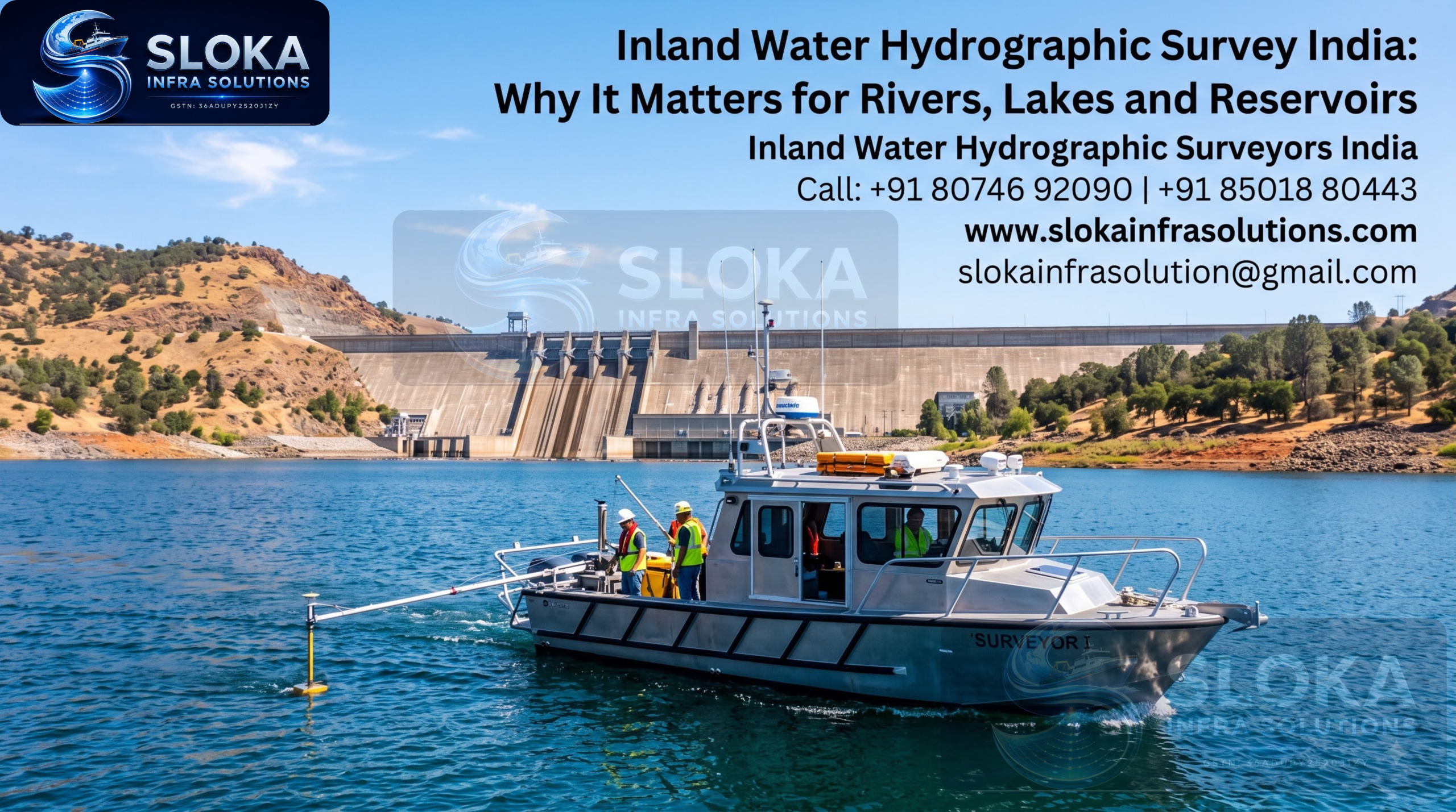
Inland Water Hydrographic Surveyors India teams often deal with fluctuating water levels between seasons, which means timing the survey correctly matters just as much as the equipment being used. A survey done at the wrong time of year can give a misleading picture of a reservoir’s true condition.
Common Applications in India
Reservoir Capacity Studies
Over time, silt reduces how much water a reservoir can actually hold, sometimes by a significant margin compared to its original design capacity. Regular hydrographic surveys track this loss and help authorities plan de-silting or dredging work before shortages become a real problem.
Canal Network Mapping
Irrigation departments use survey data to identify blockages, uneven depths, or erosion that affects how water reaches farmland at the far end of a canal network, where shortages are usually felt first.
River Crossing Projects
Before building bridges or laying pipelines across rivers, engineers need accurate bed profiles to design safe, stable foundations that can handle both current flow and future sediment changes.
Hydropower Planning
Dam operators use inland survey data to manage water storage and release more efficiently, especially during monsoon season when inflow can change rapidly and safety margins matter most.
Urban Water Body Management
Lakes and reservoirs near cities often face faster silt accumulation due to runoff and construction nearby, making periodic surveys especially important for urban water planning.
Challenges Unique to Inland Water Surveys
Inland surveys come with their own set of difficulties compared to coastal or open-sea work, and experienced teams plan around these rather than being caught off guard by them:
- Shallow and narrow channels that limit vessel size and manoeuvring space
- Seasonal water level changes that can affect both access and how comparable the data is year to year
- Heavy silt or vegetation that can interfere with sonar readings if not accounted for
- Variable currents in fast-flowing rivers, which require careful equipment calibration and skilled handling
- Limited access points in remote or rural areas, which affects how equipment and teams reach the site
Experienced surveyors know how to adjust their approach for each of these conditions rather than applying a single fixed method to every water body they encounter.
Choosing the Right Survey Partner
When hiring a team for an Inland Water Hydrographic Survey India project, it helps to check for a few specific things before signing on:
- Experience specifically with rivers, canals, and reservoirs, not just coastal or open-sea work
- Modern equipment suited to shallow and narrow water bodies
- A track record with government or infrastructure projects of similar scale
- Clear reporting that’s easy for engineers and non-technical stakeholders alike to understand and use
- Flexibility to work around seasonal access and water level constraints
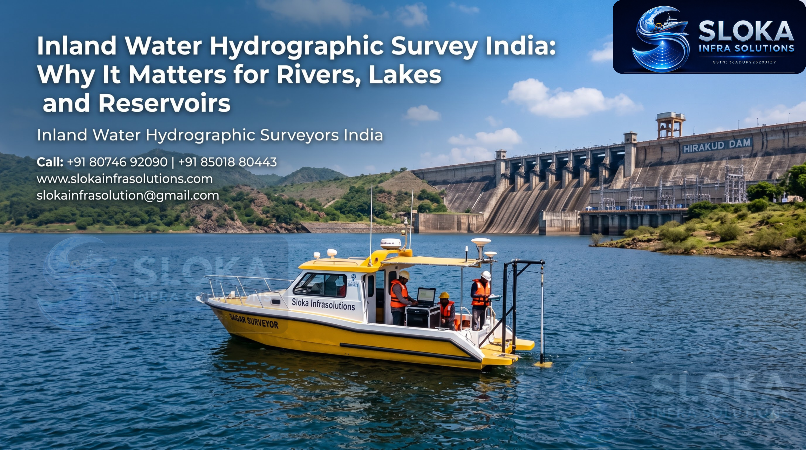
Sloka Infra Solutions works on inland hydrographic and bathymetric survey projects across Indian states, covering dams, reservoirs, canals, and rivers of varying sizes. Their process is built around adapting to each site’s specific water conditions rather than using a fixed template for every project. Call: +91 80746 92090.
Signs Your Water Body Needs a Fresh Survey
It’s not always obvious when a resurvey is overdue. A few common signs include:
- Noticeable drop in reservoir storage compared to official records
- Irrigation canals delivering less water than expected at the far end
- Increased flooding in areas that weren’t previously flood-prone
- Visible sediment buildup near intake points or pump stations
- No survey data on file from the past several years
If any of these sound familiar, it’s usually a good time to bring in a survey team before problems get worse.
Frequently Asked Questions
- What’s the difference between inland water and coastal hydrographic surveys? Inland surveys focus on rivers, lakes, canals, and reservoirs, which involve narrower channels, seasonal water level changes, and often heavier silt. Coastal surveys deal with tides, waves, and much larger open-water areas with different equipment needs.
- How often should reservoirs be resurveyed? Most experts recommend resurveying reservoirs every three to five years, or more frequently for reservoirs with high sediment inflow from nearby construction or agricultural runoff.
- What equipment is used in inland water hydrographic surveys? Common tools include single beam and multibeam echo sounders, ADCP devices for current measurement, GPS positioning systems, and side scan sonar for detecting underwater obstacles or debris.
- Can hydrographic surveys be done during the monsoon season? It’s possible, but water levels and currents can make monsoon surveys less accurate and harder to compare against previous data. Pre-monsoon or post-monsoon periods are usually preferred for reliable results.
- Why is silt measurement important in reservoirs? Silt buildup reduces the amount of water a reservoir can store, which affects irrigation, drinking water supply, and power generation. Tracking this over time helps authorities plan de-silting work before capacity drops too far.
- Who uses inland water hydrographic survey data? Government irrigation and water resource departments, dam operators, construction companies, and environmental agencies are the main users of this data across India.
Final Thoughts
Rivers, canals, and reservoirs change more than most people realise, and that change has real consequences for water supply, safety, and long-term infrastructure planning. An accurate Inland Water Hydrographic Survey India project gives decision-makers the facts they need instead of leaving important calls to guesswork or outdated records.
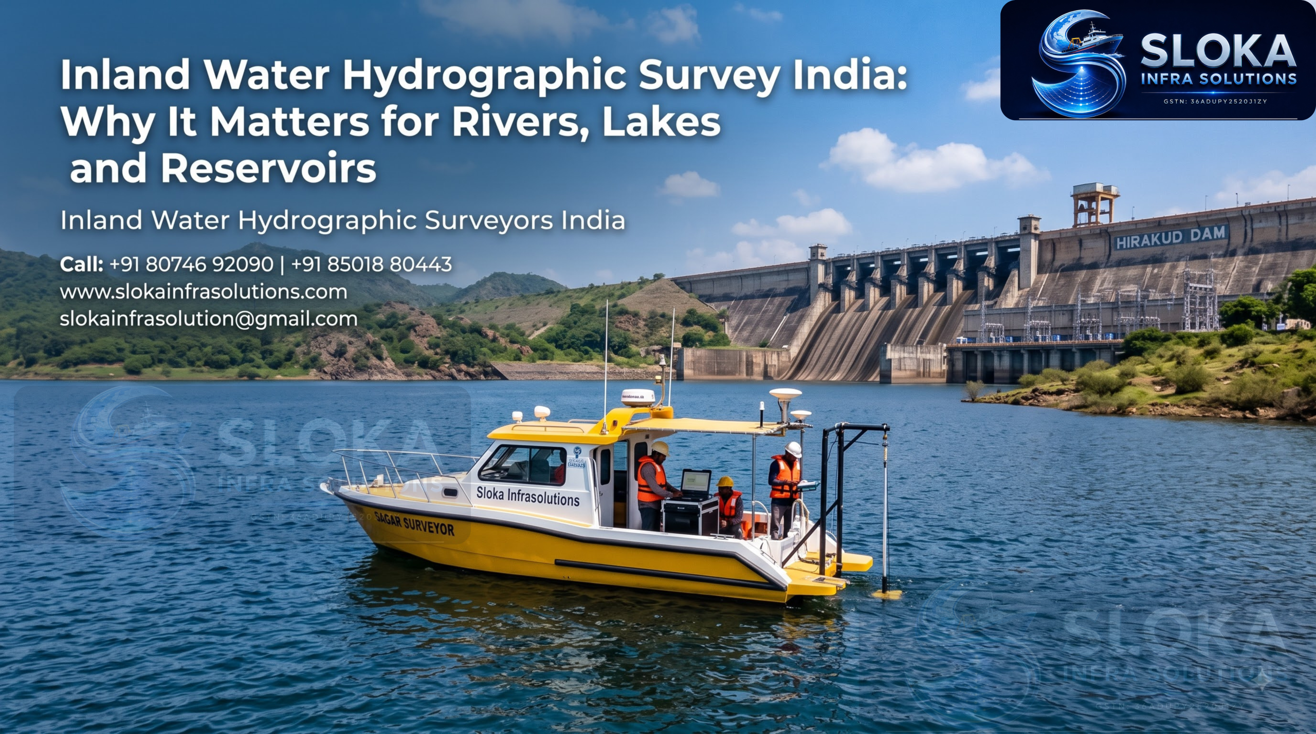
If your project involves a river, canal, dam, or reservoir, working with experienced Inland Water Hydrographic Surveyors India can save both time and money down the line. Sloka Infra Solutions can be reached at +91 80746 92090 to discuss survey needs for inland water bodies of any size.