
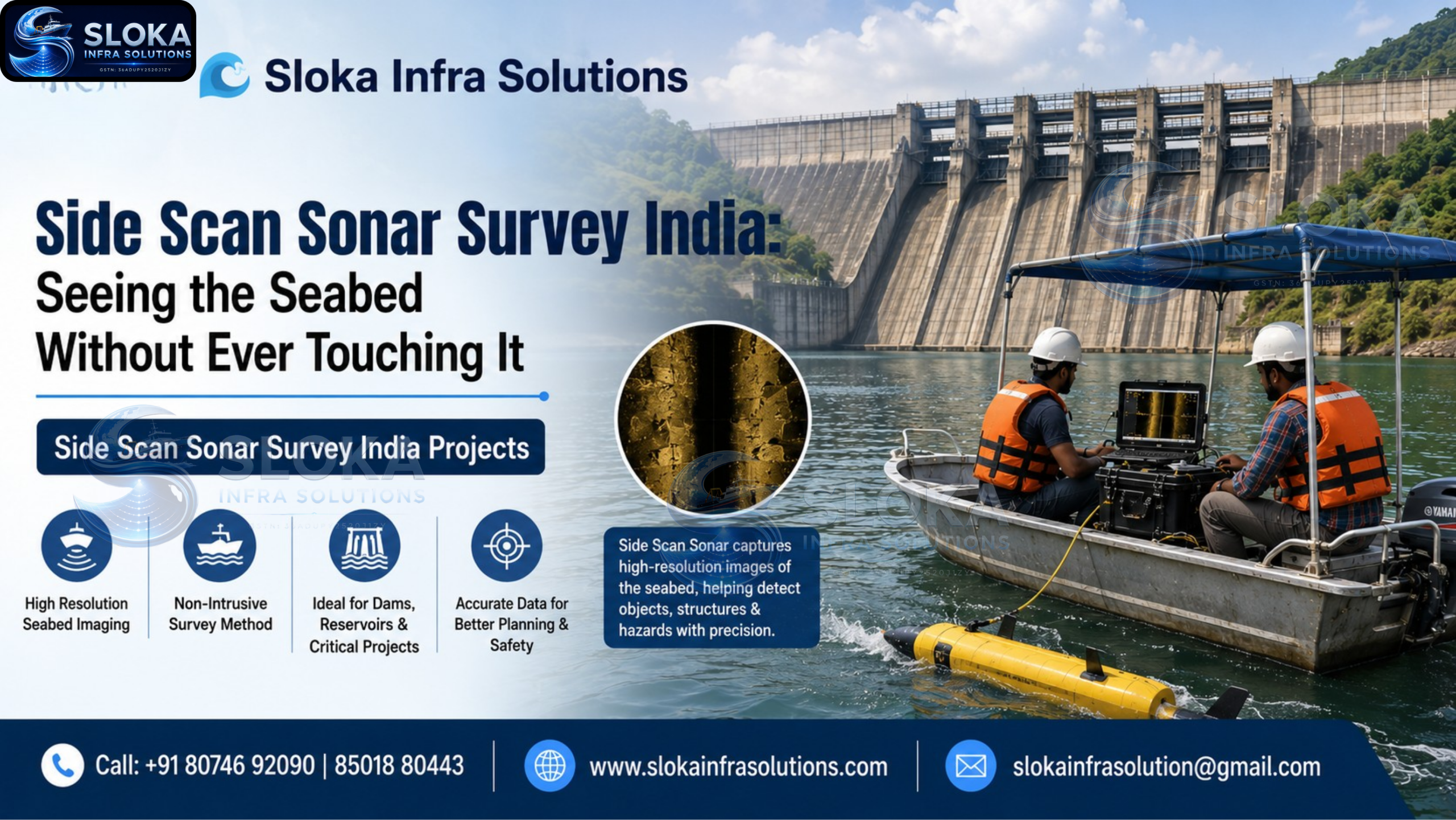
Side Scan Sonar Survey India Projects
Side Scan Sonar Survey India: Seeing the Seabed Without Ever Touching It
Call: +91 80746 92090
Side Scan Sonar Survey India Projects have expanded rapidly across ports, offshore energy corridors, and inland water bodies in the last few years, driven by growing marine infrastructure investment and stricter safety requirements for underwater construction. Unlike depth-sounding sonar, which just tells you how deep the water is, side scan sonar produces detailed images of what the seabed actually looks like — its texture, its objects, its anomalies. There’s something almost cinematic about side scan sonar imagery — grainy black-and-white photo-like images of the seafloor, shipwrecks, pipelines, and debris, all captured without a single diver going underwater. It’s one of the most visually striking survey technologies out there, and also one of the most practically useful.
Side Scan Sonar Surveyers India
Side scan sonar surveyers India teams work across a genuinely wide range of clients — port authorities checking for obstructions, telecom companies routing undersea cables, energy companies inspecting pipelines, and even archaeologists searching for shipwrecks. The common thread across all these projects is the need to see the seabed clearly without the cost and risk of sending divers down to check it manually.
How Side Scan Sonar Actually Works
A side scan sonar unit, usually towed behind a survey boat in a device called a “towfish,” sends acoustic pulses out sideways in a fan-shaped pattern, covering a wide swath of seabed on either side of the vessel’s path. As these pulses hit the seafloor and any objects on it, they reflect back to the sonar’s receivers with varying strength depending on what they hit.
Hard, dense objects like rocks, metal debris, or shipwrecks reflect strongly and show up bright in the resulting image. Soft sediment and shadows behind raised objects show up dark. Put enough of these passes together and you get a continuous, photo-like mosaic of the entire seabed — not a measurement of depth, but a genuine picture of shape, texture, and objects.
Side scan sonar typically operates across a frequency range from around 100 kHz for wider area coverage up to over 1 MHz for very fine detail. Lower frequencies cover more ground per pass but at lower resolution; higher frequencies give sharper detail but need more passes to cover the same area.
Side Scan Sonar vs Multibeam Echo Sounder — What’s the Difference?
This confuses a lot of people, so it’s worth being direct about it.
Multibeam echo sounder (MBES) measures precise depth at many points simultaneously, producing an accurate 3D shape of the seabed. It tells you exactly how deep the water is at every point.
Side scan sonar doesn’t focus on precise depth measurement. Instead, it captures acoustic backscatter — essentially how strongly sound reflects off different surfaces — to create a detailed image showing texture, objects, and anomalies. It’s better for spotting a submerged shipwreck or a scattered debris field than for producing exact depth numbers.
In practice, most professional side scan sonar survey India projects combine both technologies: MBES for shape and depth, side scan sonar for texture and object detection. Together they give a far more complete picture than either technology alone.

Where Side Scan Sonar Gets Used
Port and harbour safety Detecting wrecks, abandoned anchors, and debris that could damage ships or interfere with navigation in busy harbours. This is one of the most common commercial applications in India, particularly around major ports.
Pipeline and cable route surveys Before laying undersea telecom cables or energy pipelines, side scan sonar checks the planned route for obstructions, seabed anomalies, and geological hazards that could damage the infrastructure later.
Post-disaster and post-cyclone assessments After major storms, ports and coastal authorities use side scan sonar to quickly map new obstructions or debris fields left behind, which is critical for reopening shipping channels safely.
Dredging support Side scan sonar helps confirm that a dredged channel is genuinely clear of obstructions before certifying it for navigation, working alongside bathymetric depth surveys.
Environmental and habitat mapping Researchers use side scan imagery to study seabed textures, identify coral reef zones, seagrass beds, and other habitat features that matter for conservation planning.
Marine archaeology Shipwrecks, submerged structures, and even ancient riverbeds have been identified using side scan sonar, offering a non-invasive way to study underwater historical sites without disturbing them.
The Survey Process Step by Step
- Planning and line spacing Surveyors plan tow lines with enough overlap to ensure full seabed coverage, factoring in the sonar’s swath width and required resolution.
- Towfish deployment The sonar unit is towed behind the survey vessel at a controlled depth and altitude above the seabed — usually towed higher for wide-area searches, lower for fine-detail work.
- Data acquisition As the vessel runs its planned lines, the sonar continuously records acoustic backscatter data, which gets logged alongside precise GPS positioning.
- Mosaic processing Back in the office, individual sonar swaths get corrected for towfish position, layback, and speed, then stitched together into a single continuous seabed mosaic.
- Target identification and reporting Any notable features — wrecks, debris, anomalies, texture changes — get flagged, measured, and included in the final report, often cross-referenced against multibeam depth data.
National and Institutional Use in India
Side scan sonar isn’t just a private-sector tool — it’s used at a national level too. Research vessels operated by India’s marine science institutions, such as FORV Sagar Sampada, combine side scan sonar with ADCP and echo sounders for comprehensive marine zone surveys. Naval hydrographic vessels including INS Jamuna and INS Darshak are equipped with side scan sonar for charting, mapping, and maritime archaeology work — a strong indicator of how central this technology has become to India’s underwater mapping efforts, well beyond just commercial infrastructure projects.
Why Frequency and Range Selection Matters
Getting the right settings for a side scan sonar survey India project isn’t a minor technical detail — it directly affects whether you find what you’re looking for.
- Wide-area searches (looking for a large object like a wreck across a big search zone) typically use lower frequencies with wider swath ranges to cover ground efficiently
- Detailed inspection work (confirming pipeline condition or examining a known target closely) uses higher frequencies at shorter ranges for maximum resolution
- Combined surveys often run at a middle frequency range to balance coverage speed against image clarity
Experienced side scan sonar surveyers India teams typically run a wider, faster initial pass to identify areas of interest, then return with tighter line spacing and higher frequency settings to get detailed imagery of anything worth a closer look.
Common Questions Clients Ask Before Commissioning a Survey
Most first-time clients want to know how long a survey will take, what the final deliverable looks like, and whether the data can be integrated with other survey types they’ve already commissioned. The honest answer is that timelines depend heavily on area size and required resolution, but a well-planned survey with proper equipment rarely needs more time than a comparable bathymetric survey of the same water body.
Sloka Infra Solutions’ Side Scan Sonar Capability
Sloka Infra Solutions runs side scan sonar surveys as part of its wider marine and hydrographic survey services, often paired with multibeam echo sounder and sub bottom profiler work depending on what a project actually requires. This combined approach means clients get both the shape of the seabed and a clear picture of what’s sitting on it, rather than having to commission separate surveys from different providers.
FAQs
What is side scan sonar used for? Side scan sonar is used to create detailed, photo-like images of the seabed, helping identify wrecks, debris, pipelines, cables, and other underwater features without physical inspection.
How is side scan sonar different from a regular depth sounder? A depth sounder measures how deep the water is at a single point. Side scan sonar captures a wide image of the seabed surface, showing texture and objects rather than precise depth values.
Can side scan sonar detect underwater pipelines and cables? Yes, it’s one of the most common applications, used both for planning new cable and pipeline routes and for periodically checking existing infrastructure for exposure or damage.
Is side scan sonar affected by murky or sediment-heavy water? Unlike optical cameras, side scan sonar uses sound rather than light, so it works effectively even in turbid water where visibility would otherwise be zero.
How deep can side scan sonar surveys go? Side scan sonar can operate from shallow rivers and harbours down to deep offshore waters, with the towfish depth and frequency adjusted based on the survey area.
Do side scan sonar surveys require multibeam data too? Not always, but for projects needing both precise depth and detailed seabed imagery, combining side scan sonar with multibeam echo sounder data gives a far more complete result.
Final Word
Whatever’s sitting on the seabed — a wreck, a pipeline, an unexpected obstruction — you want to know about it before it becomes a problem, not after. Side scan sonar survey India projects have made that kind of seabed visibility routine and affordable for ports, energy companies, and infrastructure developers across the country. If you need a clear picture of what’s beneath your project site, get in touch with Sloka Infra Solutions at 80746 92090 to talk through your survey requirements.