Top 5 Bathymetric Survey Companies in India
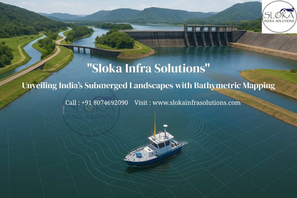
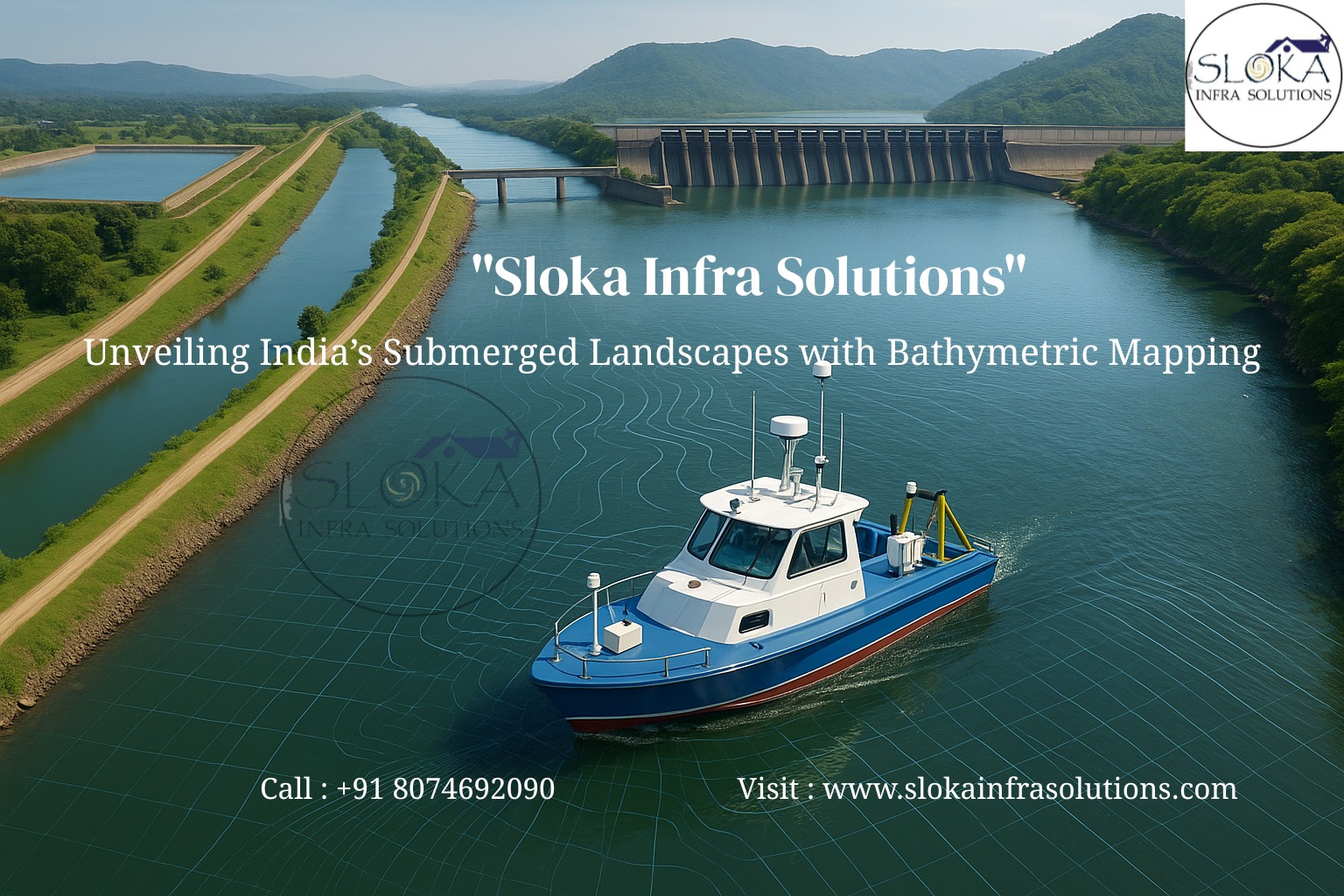
Unveiling India’s Submerged Landscapes with Bathymetric Mapping
Call: 80746 92090
India’s vast and varied water network—from the fast-flowing Himalayan rivers like the Ganga and Brahmaputra to man-made reservoirs, lagoons, estuaries, and the expansive Arabian Sea and Bay of Bengal—demands precise underwater mapping. The Top 5 Bathymetric Survey Companies in India plays a crucial role in translating these hidden underwater terrains into reliable data that powers navigation, infrastructure growth, disaster resilience, and environmental monitoring. By deploying advanced tools like multibeam echo sounders, Sub Bottom Profilers, Side Scan Sonars, GNSS, and LiDAR, these companies give India the confidence to manage its water resources safely and sustainably.
Top 5 Bathymetric Surveyors in India
The Top 5 Bathymetric Surveyors in India bring more than just instruments; they bring skill, interpretation, and contextual understanding of India’s complex aquatic systems. From the Godavari’s broad delta to the narrow channels of Kerala’s backwaters, from the Sardar Sarovar and Tehri reservoirs to sensitive zones like the Sundarbans, these professionals ensure data quality that meets both engineering standards and ecological realities. By blending field expertise with IHO S-44 compliance, they make sure that the numbers behind every chart, contour, and depth model can be trusted for billion-rupee projects and critical decision-making.
Why bathymetric surveys matter in India?
1.Navigation Safety – Maintains safe shipping and inland transport corridors by keeping ports, harbors, and rivers navigable.
2.Reservoir & Dam Management – Tracks siltation and sediment build-up, guiding desilting for optimal storage.
3.Infrastructure Development – Essential for bridge piers, ports, sea links like the Mumbai Trans Harbour Link, and offshore pipelines.
4.Environmental Protection – Monitors sensitive ecosystems like Chilika Lake, Gulf of Mannar reefs, and the Sundarbans.
5.Disaster Preparedness – Improves flood models for rivers and cyclone/tsunami resilience for coasts.
6.Inland Waterways – The IWAI depends on regular bathymetric updates to keep 111 declared waterways navigable.
7.Scientific & Archaeological Studies – Helps locate submerged settlements like Dwarka or shipwrecks of historical importance.
What a bathymetric survey actually delivers?
A modern bathymetric project converts the underwater world into dependable surfaces and layers:
Depth models (DTMs/Grids): Cleaned, tide-corrected surfaces suitable for dredge design, navigation, and hydraulic modeling.
Seabed/backscatter layers: Texture proxies to differentiate sand, silt, rock, or vegetation for habitat and engineering use.
Feature inventories: Wrecks, obstructions, outfalls, anchor scars, pipelines/cables, scour pockets, bedforms, and bank lines.
Change detection: Multitemporal comparisons to see where shoals grow, channels migrate, or scour deepens.
Metadata & traceability: Survey lines, vessel tracks, sound velocity profiles, tide/GNSS references, processing parameters, QA/QC logs.
How modern bathymetric surveys work?
Bathymetry relies on acoustic or optical signals that travel from a sensor to the bottom and back. But in practice, accuracy requires careful planning and many layers of correction:
1.Sensor Choice
Multibeam Echo Sounder (MBES): Produces dense 3D coverage for ports, bridges, and dredging.
Single-Beam Echo Sounder (SBES): An affordable solution best suited for quick surveys and mapping in narrow rivers or during initial exploration.
Airborne Bathymetric LiDAR: Ideal for shallow waters and surf zones, where boats face difficulty.
2.Positioning & Motion
GNSS with RTK/PPP for centimeter-level accuracy.
Used to stabilize data by adjusting for vessel movements such as heave, roll, and pitch.
Tide gauges or GNSS-tide models tie everything to a reliable vertical datum.
3.Sound Speed Control
Velocity varies with temperature, salinity, and depth. Frequent SVP casts, especially in estuaries, prevent depth errors.
4.Quality Control
Alignment with IHO S-44 standards for orders like 1a or Special Order.
Crosslines, coverage maps, and TPU (Total Propagated Uncertainty) charts help validate accuracy and build trust in the survey results.
5.Data Processing
Converts raw pings into clean DTMs, contours, hazard shapefiles, and backscatter mosaics ready for CAD/GIS/engineering use.
Sub Bottom Profilers:-
Sub Bottom Profilers (SBPs) give us a window into the hidden layers beneath the ocean floor. These systems emit low-frequency acoustic pulses that penetrate through sediments and reflect back from different subsurface layers, offering insights into sediment thickness, bedrock depth, and hidden features.
In India, SBPs are vital for:
Reservoirs & Rivers: Detecting siltation in reservoirs like Hathnikund (Haryana) or Tawa (Madhya Pradesh).
Infrastructure Planning: Assisting with foundation design for bridges, barrages, and piers.
Archaeological Exploration: Tracing ancient river channels in regions like Ghaggar plains.
Environmental Assessments: Studying sediment stratigraphy for flood management and capacity planning.
Types of SBPs include chirp systems (high-resolution, shallow penetration), pinger systems (basic surveys), and boomers (deeper penetration, lower resolution). With GNSS positioning and acoustic processing, SBPs create 3D cross-sections of subsurface geology—indispensable for dredging, port development, offshore wind, and paleo-geomorphology studies.
In essence, SBPs turn flat depth maps into subsurface stories that engineers and planners can rely upon.
Side Scan Sonar:-
Side Scan Sonar (SSS) provides a visual representation of the seabed, generating image-like mosaics using sideways-directed acoustic pulses. It highlights seabed textures, structures, debris, and hazards that depth data alone cannot reveal.
In India, SSS applications include:
River Systems: Capturing the patterns of sand formations along the Ganga near Bhagalpur in Bihar.
Reservoirs: Detecting debris, boulders, and submerged hazards in dam catchments.
Ports & Coasts: Hazard sweeps at Paradip, Kandla, and post-cyclone inspections along Odisha and Andhra Pradesh.
Marine Archaeology: Used by vessels like INS Jamuna and INS Darshak to map wrecks and heritage sites.
SSS typically works in the 100–1200 kHz range. High frequency yields sharp images for small objects; low frequency provides broader swaths for reconnaissance. Stitching these sonar slices produces detailed seabed mosaics.
By pairing SSS with MBES, surveyors get both shape and texture—supporting dredging, habitat mapping, search-and-recovery, and environmental baselines.
India’s Waterbodies & Bathymetric Applications:-
Rivers & Inland Waters: Ganga, Brahmaputra, Yamuna, Godavari, Krishna, and Kaveri require regular surveys for flood risk and navigation.
Reservoirs & Dams: Hirakud, Srisailam, Nagarjuna Sagar, and Tehri rely on bathymetry to assess capacity and sedimentation.
Ports & Sea Links: Critical for projects like Mumbai Trans Harbour Link and port expansions.
Coastal & Estuarine Zones: Kerala backwaters, Gujarat creeks, and Odisha’s lagoons need surveys for erosion and shoreline protection.
National Waterways: IWAI conducts frequent surveys to keep channels clear and ensure smooth, safe movement of goods.
Importance of Bathymetric Surveys in India:-
Navigation Safety – Secures inland and maritime transport.
Flood Management – Predicts river behavior and supports flood defense.
Infrastructure Growth – Powers bridges, ports, and energy projects
Environmental Care – Monitors habitats and erosion.
Defense & Security – Enables naval operations and surveillance.
India’s Signature Survey Challenges:-
Monsoon dynamics: Rapidly changing bed levels and turbidity demand agile mobilization windows and robust QC.
Sediment-rich rivers: With deltas and braided channels shifting rapidly, regular surveys and flexible planning become crucial.
Shallow, obstacle-rich zones: Fish traps, sand bars, and floating debris demand slow speeds, tighter line spacing, and vigilant crews.
Security & permissions: Surveying near ports, defense zones, oil & gas corridors, or international boundaries typically requires clearances and coordination with authorities (e.g., National Hydrographic Office/INHD for hydrographic products).
Conclusion:-
Bathymetric surveys are the silent backbone of India’s water management, coastal safety, and infrastructure planning. The Top 5 Bathymetric Survey Company in India and the Top 5 Bathymetric Surveyors in India leverage advanced technologies like Sub Bottom Profilers and Side Scan Sonars alongside echo sounders, ADCPs, and LiDAR to uncover the hidden world beneath the waters.
From flood forecasting and dredging to protecting ecosystems and uncovering maritime archaeology, bathymetry shapes India’s development story. As the nation expands its blue economy and strengthens inland waterways, these surveys will remain critical in guiding safe, resilient, and sustainable growth.