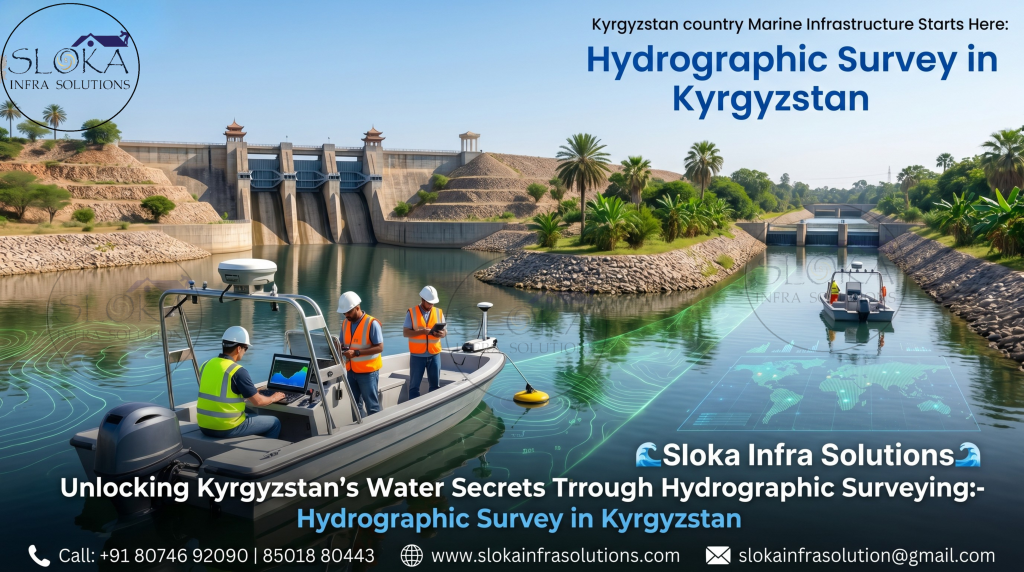
Hydrographic Survey in Kyrgyzstan
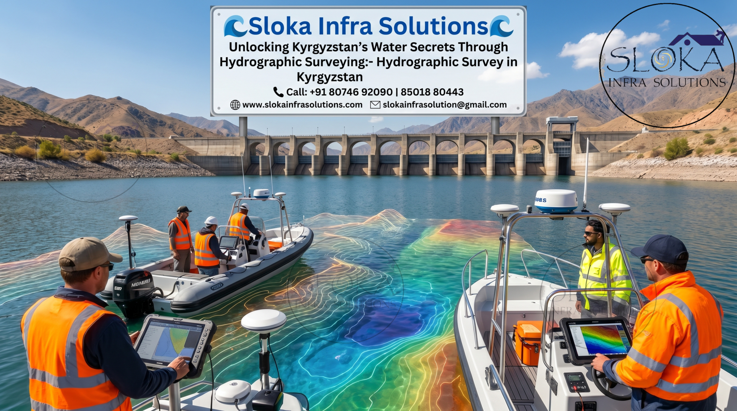
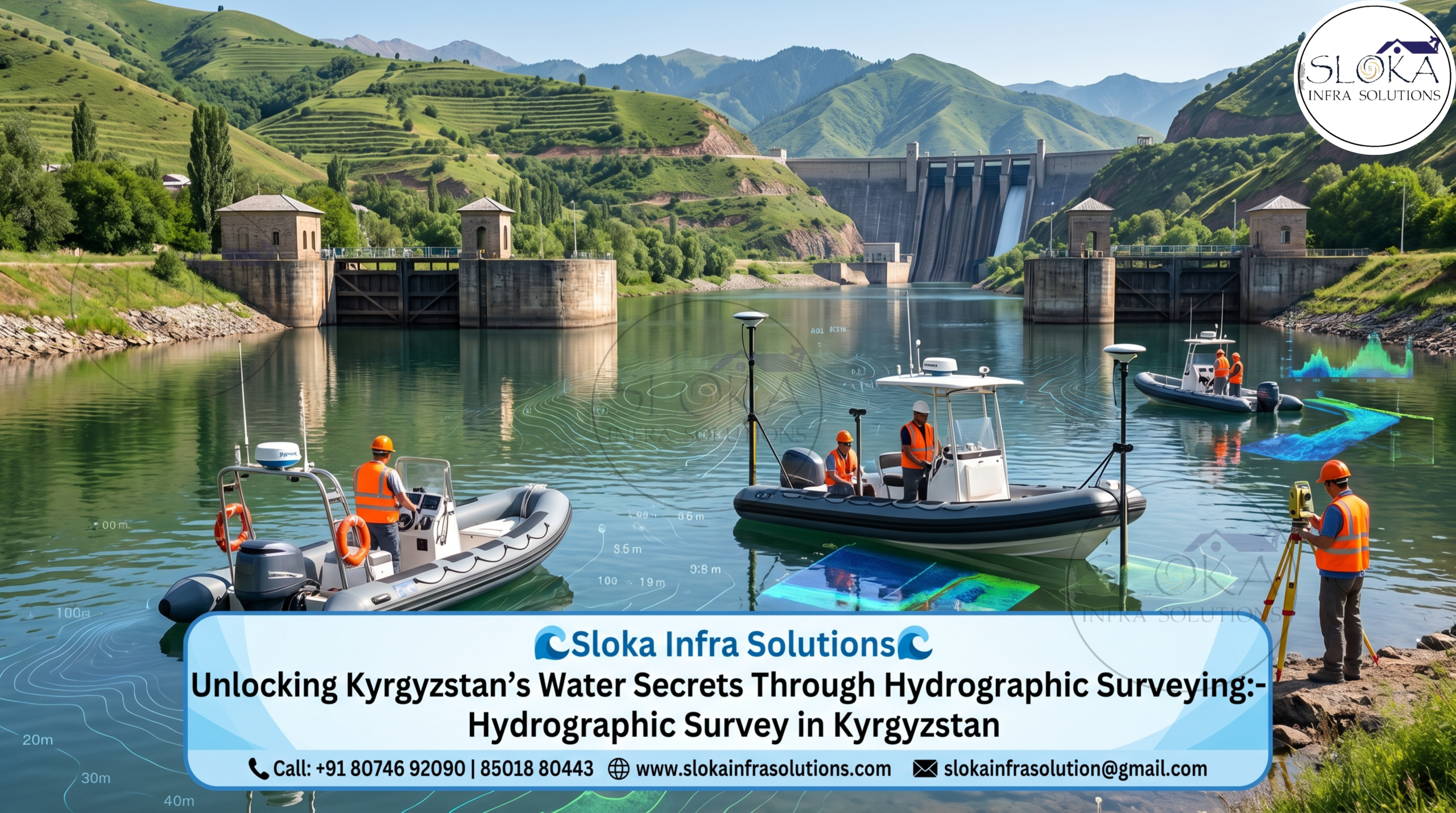
Unlocking Kyrgyzstan’s Water Secrets Through Hydrographic Surveying:-
Call: +91 80746 92090
Hydrographic Survey in Kyrgyzstan plays a vital role in understanding the country’s diverse water systems, supporting infrastructure development, environmental sustainability, and resource management. Despite being a landlocked nation, Kyrgyzstan is rich in water bodies, including vast alpine lakes, fast-flowing rivers, and reservoirs formed by hydropower projects. With nearly 90% of its terrain covered by mountains such as the Tian Shan range, accurate hydrographic data becomes essential for safe navigation, water resource planning, and engineering projects in these challenging terrains.
Top Hydrographic Survey & Surveyors in Kyrgyzstan
Top Hydrographic Survey & Surveyors in Kyrgyzstan play a vital role in providing accurate underwater mapping and geospatial insights, empowering industries such as hydropower, irrigation, mining, and environmental monitoring with reliable data for smarter decisions.These professionals utilize advanced technologies and international best practices to ensure reliable data collection even in remote and high-altitude regions. Their expertise is critical for projects involving dams, reservoirs, and river basin management, particularly in areas influenced by glacial melt and seasonal water fluctuations.
Why Hydrographic Surveys are essential for Kyrgyzstan’s water future?
Kyrgyzstan’s economy and environment are closely tied to its water resources. The country depends heavily on hydropower, with rivers like the Naryn feeding major hydroelectric plants. Accurate hydrographic surveys ensure the efficiency and safety of these installations.
Additionally, climate change is affecting glacier melt patterns, which in turn influence water availability and flood risks. Hydrographic surveys provide critical data to monitor these changes and develop adaptive strategies. They also help in identifying sediment buildup in reservoirs, which can reduce storage capacity and impact energy production.
Tourism is another sector benefiting from hydrographic surveys. Lakes like Issyk-Kul attract visitors from around the world, and maintaining safe boating and recreational activities requires precise underwater mapping.
Key obstacles in mapping Kyrgyzstan’s water systems:-
Conducting hydrographic surveys in Kyrgyzstan comes with unique challenges. The country’s rugged terrain, high altitudes, and harsh weather conditions can make fieldwork difficult. Access to remote water bodies often requires specialized equipment and logistics.
Seasonal variations also play a significant role. During winter, many water bodies freeze, limiting survey opportunities. In contrast, spring and summer bring increased water flow due to glacier melt, which can complicate data collection.
Despite these challenges, advancements in technology and growing expertise among local surveyors are helping overcome these obstacles. The use of drones, remote sensing, and automated data processing is improving efficiency and accuracy.
Understanding Hydrographic surveying: More than just mapping water:-
Kyrgyzstan’s geography is dominated by rugged mountains, glaciers, and high-altitude lakes, making hydrographic surveying both complex and essential. Water bodies like Issyk-Kul Lake—one of the largest saline lakes in the world—along with rivers such as the Naryn and Talas, play a crucial role in the country’s ecosystem and economy.
Hydrographic surveys help in:
- Mapping underwater terrain (bathymetry)
- Identifying sediment buildup
- Supporting dam and reservoir design
- Monitoring environmental changes
- Ensuring safe water transportation where applicable
The reliance on hydropower for energy generation further amplifies the importance of accurate hydrographic data. Any miscalculation in underwater topography can impact dam safety, reservoir capacity, and energy output.
The tools and tech behind accurate Hydrographic mapping:-
Modern hydrographic surveys rely on a combination of sonar systems, positioning technologies, and data processing tools. Below are some of the most widely used techniques in Kyrgyzstan:
1.ADCP Survey (Acoustic Doppler Current Profiler):-
An Acoustic Doppler Current Profiler (ADCP) is a powerful tool used to measure water current velocities across a depth range. In Kyrgyzstan, where rivers like the Naryn and Chu are vital for irrigation and energy, understanding water flow is essential.
ADCP works by emitting sound waves into the water and analyzing the frequency shift of the returning echoes. This shift, known as the Doppler effect, helps determine the speed and direction of water currents. The device can be mounted on boats or deployed from fixed platforms, depending on the survey requirements.
One of the key advantages of ADCP is its ability to collect data across multiple layers of the water column simultaneously. This provides a comprehensive view of how water moves at different depths, which is crucial for designing dams, bridges, and flood control systems.
In Kyrgyzstan’s mountainous regions, where rivers can be fast-flowing and unpredictable, ADCP surveys help engineers assess potential risks and optimize infrastructure design. They also support environmental studies by tracking sediment transport and aquatic habitat conditions.
2.Side Scan Sonar:-
Side Scan Sonar is a powerful tool used to capture high-resolution visuals of the seafloor or lakebed, revealing detailed underwater features with impressive clarity. Although Kyrgyzstan does not have seas, this technology is extremely valuable for surveying large lakes like Issyk-Kul and Son-Kul.
This system emits acoustic pulses sideways from a towed or mounted device, capturing high-resolution images of the underwater surface. These images help identify:
- Submerged objects (rocks, debris, wreckage)
- Sediment patterns
- Underwater vegetation
- Structural anomalies
In Kyrgyzstan, side scan sonar is often used for:
- Inspecting dam foundations
- Monitoring underwater infrastructure
- Environmental assessments
- Search and recovery operations
The clarity of images produced allows surveyors to detect even small features on the lakebed. This is particularly important in hydropower reservoirs, where debris or sediment accumulation can affect turbine efficiency.
Moreover, side scan sonar plays a role in ecological studies by helping researchers understand habitat distribution in freshwater systems.
3.Sub Bottom Profilers:-
Sub Bottom Profilers are used to examine the layers beneath the seabed or riverbed. Unlike other sonar systems that focus on surface features, this technology penetrates the bottom to reveal sediment layers, rock formations, and buried objects.
In Kyrgyzstan, Sub Bottom Profilers are particularly useful for dam construction and reservoir management. By understanding the composition and thickness of sediment layers, engineers can assess the stability of the foundation and plan appropriate construction methods.
The system emits low-frequency sound waves that travel through the bottom and reflect back from different layers. The resulting data is used to create a vertical profile of the subsurface structure.
This technology also plays a role in environmental studies. It helps identify areas of sediment accumulation, which can affect water quality and storage capacity. In glacier-fed lakes and rivers, where sediment transport is significant, Sub Bottom Profilers provide valuable insights into long-term changes.
4.Single Beam Echo Sounder Survey:-
The Single Beam Echo Sounder Survey is one of the most traditional and widely used methods for measuring water depth. It involves sending a single acoustic pulse directly downward from a transducer and recording the time it takes for the echo to return.
In Kyrgyzstan, this method is commonly used for:
- Basic bathymetric mapping
- Small-scale surveys
- River cross-section analysis
- Preliminary project assessments
While it may not provide as much detail as advanced systems, its simplicity and cost-effectiveness make it ideal for many applications. It is particularly useful in narrow rivers and smaller reservoirs where high-resolution mapping is not required.
The data collected is used to create depth profiles, which are essential for understanding channel morphology and planning engineering works. In mountainous regions, where riverbeds can change rapidly due to erosion or sediment deposition, regular single beam surveys help track these changes over time.
5.Multibeam Echo Sounder Survey:-
Multibeam Echo Sounders (MBES) represent the cutting edge of hydrographic surveying technology. Unlike SBES, which measures depth at a single point, MBES systems emit multiple sound beams in a fan-shaped pattern, covering a wide area beneath the vessel.
This allows for the creation of highly detailed and accurate 3D maps of the underwater terrain. In Kyrgyzstan, MBES surveys are increasingly used in large lakes like Issyk-Kul and major reservoirs.
The high-resolution data provided by MBES is invaluable for complex engineering projects, such as dam construction and underwater pipeline installation. It also supports scientific research by revealing fine-scale features of the seabed.
Another advantage of MBES is its ability to detect small objects and subtle changes in the terrain. This makes it ideal for monitoring sediment movement, erosion, and habitat changes over time.
Although the equipment is more complex and expensive, the level of detail it provides makes it indispensable for large-scale and high-precision projects.
Applications across industries:-
Hydrographic surveying in Kyrgyzstan supports a wide range of industries:
- Hydropower Development: Accurate data ensures efficient dam design and operation.
- Agriculture: Irrigation systems rely on precise water flow measurements.
- Environmental Protection: Monitoring water quality and sediment helps preserve ecosystems.
- Disaster Management: Flood risk assessment and early warning systems depend on reliable data.
- Tourism: Safe navigation and recreational planning enhance visitor experiences.
Environmental considerations:-
Kyrgyzstan’s ecosystems are sensitive to changes in water dynamics. Hydrographic surveys play a key role in:
- Monitoring lake levels
- Studying sedimentation patterns
- Assessing ecological impacts of development projects
Sustainable water management requires continuous data collection and analysis, making hydrography an essential tool for environmental protection.
A glimpse into the future of Hydrographic surveying:-
The future of Hydrographic Survey in Kyrgyzstan looks promising with the integration of:
- Autonomous survey vessels
- Drone-based mapping
- Real-time data processing
- Advanced GIS systems
These innovations will further enhance the accuracy and efficiency of surveys, enabling better decision-making across sectors.
Key takeaways to remember:-
The evolution of Top Hydrographic Survey & Surveyors in Kyrgyzstan reflects the growing importance of water resource management in a mountainous and water-rich nation. From advanced sonar systems to real-time flow measurement technologies, hydrographic surveying continues to shape the future of infrastructure, energy, and environmental sustainability in Kyrgyzstan.
As the country navigates challenges like climate change and increasing demand for water resources, hydrographic surveys will remain at the forefront of innovation and development—ensuring that every drop of water is understood, managed, and utilized effectively.