Bathymetric Survey in Andhra Pradesh
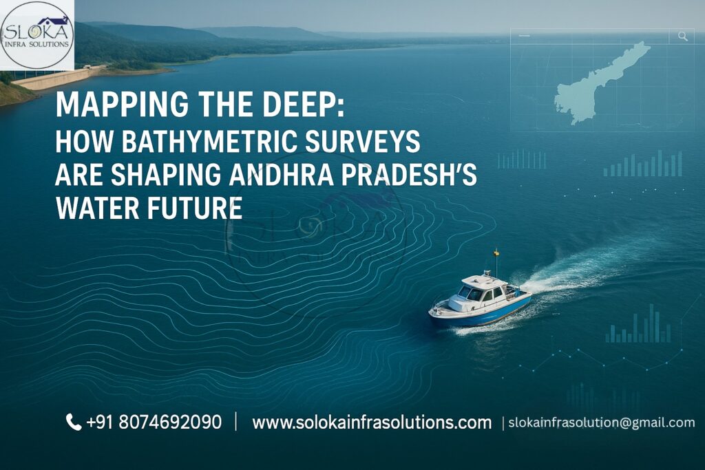
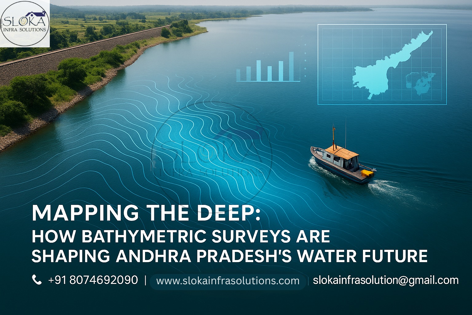
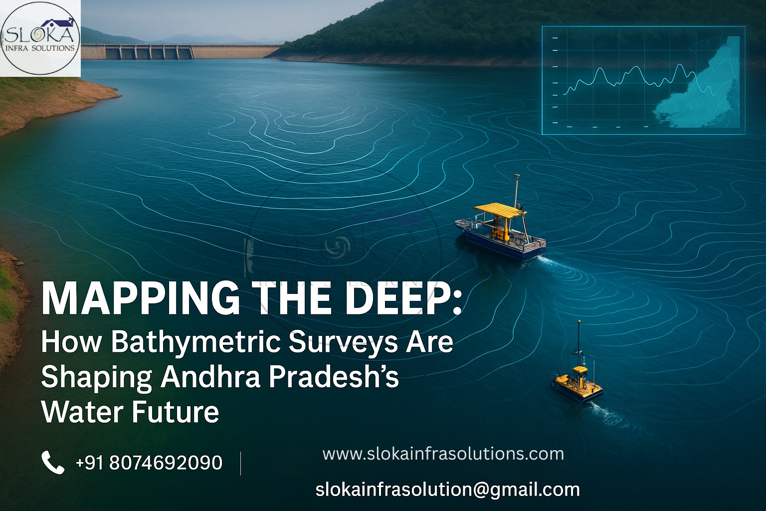
Mapping the Deep: How Bathymetric Surveys Are Shaping Andhra Pradesh’s Water Future
Bathymetric Survey in Andhra Pradesh is a foundational practice that reveals the hidden depths of the state’s extensive aquatic terrain. From the thriving ports of Visakhapatnam and Kakinada to inland rivers like the Krishna and Godavari, Andhra Pradesh’s water systems are vast, diverse, and dynamic. As coastal development accelerates and inland water management becomes more critical due to climate change and urbanization, accurate underwater mapping is not a luxury—it’s a necessity.
Top Bathymetric Survey and Surveyor in Andhra Pradesh:
Top Bathymetric Survey and Surveyor in Andhra Pradesh services deliver high-resolution mapping and analysis of underwater topography that supports industries ranging from shipping and fishing to dam maintenance and disaster management. Leveraging cutting-edge tools like Multi-Beam Echo Sounders (MBES), Unmanned Surface Vehicles (USVs), and Acoustic Doppler Current Profilers (ADCP), these professionals offer data-driven insights tailored to the unique environmental and geographic challenges of Andhra Pradesh.
What Is a Bathymetric Survey?
At its core, a bathymetric survey measures and maps the depth and shape of submerged surfaces. Analogous to land-based topographic surveys, bathymetry charts the underwater landscape—riverbeds, lake bottoms, reservoir floors, and seabeds—by sending acoustic pulses (sonar) or laser beams (LiDAR) from a vessel or aerial platform. The return time of these signals is converted into depth readings, which are then processed into contour lines, digital elevation models (DEMs), and hydrographic charts. These deliverables form the foundation for navigation safety, engineering design, environmental studies, and scientific research.
Why Andhra Pradesh Needs Advanced Bathymetric Surveys?
With a 974 km long coastline, a maze of rivers, deltas, reservoirs, lakes, and active port zones, Andhra Pradesh is heavily dependent on its water resources. Here’s why bathymetric surveys are essential:
1. Coastal and Port Development
Andhra Pradesh hosts some of India’s most crucial maritime gateways:
Visakhapatnam Port, a major commercial and naval port
Kakinada and Krishnapatnam Ports, vital for trade, energy, and export
Bathymetric surveys ensure:
Safe navigation by detecting underwater hazards
Efficient dredging to maintain channel depths
Strategic expansion planning using real-time seabed data
2. River and Floodplain Monitoring
The Krishna and Godavari river systems flow across Andhra’s plains, supporting agriculture and towns but also posing flood risks during monsoon seasons. Bathymetric surveys:
Profile riverbeds to model seasonal flow
Aid in levee and flood barrier planning
Support river interlinking and navigation projects
3. Reservoir and Dam Safety
From Nagarjuna Sagar to Polavaram, Andhra Pradesh’s reservoirs are critical for irrigation and power. Over time, sedimentation reduces their storage capacity and weakens dam safety. Bathymetric surveys help:
Measure silt deposition
Guide desilting and capacity restoration
Monitor dam bed integrity and sediment transport trends
4. Disaster Management & Cyclone Readiness
Given the state’s vulnerability to cyclones, coastal storm surges, and flooding, accurate river and seafloor data is invaluable for:
Flood forecasting and evacuation modeling
Cyclone surge simulations
Real-time disaster mitigation planning
5. Inland Navigation and Waterway Planning
With growing interest in inland cargo movement under the National Waterways project, especially on the Godavari, bathymetric surveys:
Identify navigable routes
Determine dredging needs
Enable multi-modal logistics integration
Tools and Techniques in Bathymetric Surveying:-
Bathymetric surveys in Andhra Pradesh use a mix of high-tech instruments and adaptive techniques suited to diverse terrains:
1. Single-Beam Echo Sounders (SBES)
Used in shallow lakes and irrigation canals like those in Rayalaseema, SBES provides vertical depth data ideal for routine monitoring.
2. Multi-Beam Echo Sounders (MBES)
Essential in ports like Visakhapatnam and deep-water channels off the Bay of Bengal, MBES generates detailed 3D maps with wide-area coverage.
3. ADCP (Acoustic Doppler Current Profiler)
Used in the Krishna-Godavari delta to measure water velocity, flow turbulence, and sediment transport—crucial for flood and sediment models.
4. LiDAR and UAV Integration
Green-light LiDAR, when paired with aerial drones, enables high-resolution mapping of intertidal zones and shallow backwaters such as those in East Godavari.
5. Unmanned Surface Vehicles (USVs)
Automated boats equipped with sonar and GPS, ideal for hard-to-reach or cyclone-affected areas. USVs enhance safety and access in flood-prone or narrow stretches.
Major Water Bodies in Andhra Pradesh
Coastal Stretch: From Srikakulam in the north to Nellore in the south, including bay areas near Visakhapatnam, Kavali, and Machilipatnam.
Rivers: Godavari (and its tributaries like Vamsadhara), Krishna (and tributaries like Tungabhadra), Gundlakamma, Swarnamukhi.
Reservoirs and Dams: Srisailam, Nagarjuna Sagar, Pulichintala, Somasila, Kandaleru, Bhavanasi.
Lakes and Backwaters: Includes Kolleru, Pulicat, Annamayya Reservoir, and Racherla Water Tank
Applications Across Andhra Pradesh’s Geography:-
Coastal Waters and Ports:
Visakhapatnam, Kakinada, Machilipatnam, and Krishnapatnam ports use bathymetric surveys to maintain dredged channels, monitor erosion, and plan offshore infrastructure.
Fishing harbors such as Ongole and Narsapur also rely on regular bathymetric data for safety.
Rivers and Estuaries:
The Godavari Delta requires constant depth monitoring for irrigation, sediment management, and eco-restoration.
Surveys in the Krishna Basin guide bridge construction, flood control, and inland navigation.
Dams and Reservoirs:
Srisailam, Polavaram, and Dowleswaram Barrage are periodically assessed for siltation.
Bathymetric data plays a key role in guiding decisions related to water storage capacity, planning irrigation cycles, and estimating the operational lifespan of dams.
Urban Water Bodies:
Urban runoff and sediment buildup are putting pressure on lakes and tanks in cities such as Vijayawada, Rajahmundry, and Guntur.
Bathymetric maps support restoration efforts, rainwater harvesting, and smart drainage planning.
Challenges Unique to Andhra Pradesh:-
Monsoonal Impact
Heavy rainfall alters riverbed contours rapidly. Seasonal timing is critical to avoid outdated survey data.
Deltaic Sedimentation
The Godavari and Krishna deltas witness intense sediment loading, which disrupts sonar readings and necessitates regular calibration.
Vegetation and Aquatic Weeds: Kolleru Lake’s floating mats of reeds and water hyacinth can distort sonar returns.
CRZ and Ecological Sensitivity: Surveys near Coringa Mangrove Sanctuary and Pulicat Bird Sanctuary demand minimal disturbance and close coordination with wildlife authorities.
Cyclone-Prone Coastline
Frequent cyclonic activity distorts seabed and riverbed features, requiring post-cyclone survey missions.
Regulatory Barriers
Coastal Regulation Zone (CRZ) norms necessitate clearances, especially in ecologically sensitive zones like mangroves and turtle nesting areas.
Bathymetric Survey Workflow: How It’s Done:-
Planning
Define objectives: dredging, flood modeling, construction, etc.
Select suitable tech based on water body characteristics
Survey Design
Grid layout, GPS control, tide stations
Identify safe access points and equipment compatibility
Execution
Deploy sonar systems, USVs, or drones
Record depths, velocities, and sediment layers
Data Processing
Clean noise, apply tidal corrections
Generate Digital Terrain Models (DTMs), contour charts
Reporting
Deliver maps, 3D models, and volume estimates
Provide actionable insights and future recommendations
Real-World Case Examples from Andhra Pradesh:-
Kakinada Port Deepening: MBES was used to plan a berth extension and avoid rocky formations, saving crores in dredging errors.
Polavaram Dam Bed Mapping: Bathymetric surveys detected sediment traps near the spillway, guiding corrective earthworks.
Vijayawada Flood Mitigation (2023): Riverbed profiles of the Krishna aided real-time flood forecasting, minimizing downstream damage during cyclone Michaung.
Upputeru Estuary Restoration: ADCP and LiDAR data supported eco-restoration of mangroves and sediment routing.
GIS Integration and Emerging Technologies:-
Integrating bathymetric data into GIS platforms (ArcGIS, QGIS) unlocks powerful analyses:
Overlay with Land Use: Correlate underwater topography with watershed land cover to predict sediment sources.
Real-Time Flood Modeling: Couple riverbed profiles with rainfall data streams for live inundation forecasts.
Shoreline Change Detection: Compare sequential surveys to quantify coastal erosion or accretion rates.
Emerging tools reshaping bathymetry include:
Autonomous Underwater Vehicles (AUVs): For deep or offshore surveys without vessel support.
Drone-Mounted Sonar: Rapid mobilization for small lakes and flooded areas.
Machine Learning for Sediment Classification: Automated interpretation of sub-bottom profiler data.
Cloud-Based Collaborative Platforms: Enabling multi-location teams to access and process data in real time.
Advantages of Choosing the Top Bathymetric Survey and Surveyor in Andhra Pradesh:-
Faster Turnaround: Optimized field-to-report workflows
Customized Reports: Tailored to ports, dams, urban bodies, or river basins
Local Expertise: Understanding of Andhra’s monsoonal, deltaic, and coastal intricacies
Advanced Equipment: Including multi-sensor drone integration and RTK GPS for pinpoint accuracy
Safety & Compliance: Trained teams that follow environmental and CRZ regulations
Benefits of Bathymetric Surveying in Andhra Pradesh:-
✅ Precise depth data for design and navigation
✅ Improved reservoir life through sediment analysis
✅ Safer coastal development and port operations
✅ Flood prevention and disaster planning
✅ Habitat mapping for conservation and tourism
✅ Enabling river transport under the National Waterways initiative
Future Outlook:-
As Andhra Pradesh accelerates its maritime, inland navigation, and hydropower ambitions, bathymetric surveys will play an ever more strategic role. Anticipated trends include:
Regularized Digital Monitoring: Transitioning from one-off surveys to continuous USV-based monitoring.
Integrated Coastal Zone Management Platforms: Unifying terrestrial and bathymetric datasets for holistic planning.
Community-Driven Data Collection: Engaging local fishers with portable echo sounders for crowd-sourced mapping.
Sustainable Practices: Minimizing environmental footprints through electric USVs and low-impact survey protocols.
Conclusion:-
As Andhra Pradesh advances toward a future shaped by rapid infrastructure growth and climate vulnerability, Bathymetric Survey in Andhra Pradesh has become indispensable. It’s no longer a niche activity—it’s a mainstream necessity for every project involving water.
Choosing the Top Bathymetric Survey and Surveyor in Andhra Pradesh ensures not just high-tech data, but regional understanding, safety assurance, and actionable insights. From ports to rivers, from dams to deltas, bathymetric surveys are lighting up the underwater world to build smarter, stronger, and more sustainable projects across the state.