
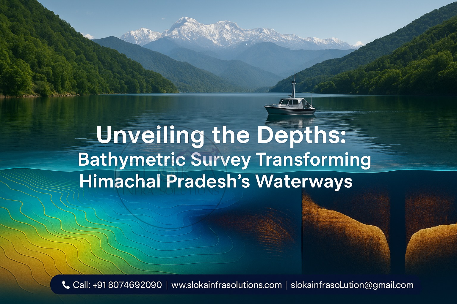
Bathymetric Survey in Himachal Pradesh
Unveiling the Depths: Bathymetric Survey Transforming Himachal Pradesh’s Waterways
Bathymetric Survey in Himachal Pradesh plays a pivotal role in unveiling the hidden contours of the state’s myriad water bodies, from high-altitude glacial lakes to meandering rivers and serene reservoirs. By deploying advanced sonar, GPS and unmanned systems, surveyors map underwater terrains, creating precise digital terrain models that inform everything from disaster preparedness to sustainable development across the Himalayan region.

Top Bathymetric Survey and Surveyor in Himachal Pradesh
Top Bathymetric Survey and Surveyor in Himachal Pradesh are at the forefront of this effort, combining cutting-edge multi-beam echo sounders, single-beam echo sounders, Acoustic Doppler Current Profilers (ADCPs), LiDAR and Autonomous Surface Vessels (ASVs) to capture bathymetric and sub-bottom profile data in a single expedition. Their expertise ensures efficient deployment of multi-sensor arrays on one vessel, integration with UAV-based topographic surveys, and laser scanning—delivering comprehensive shoreline and waterbody measurements critical for projects large and small.
Bathymetric Survey in Himachal Pradesh comes alive when we consider the state’s unique geography—towering peaks, deep valleys, and glacial melt-fed lakes. This terrain demands specialized survey techniques and bespoke solutions:
Glacial Lake Mapping
High-altitude lakes such as Chandratal, Tso Lhamo and Bodhihill require autonomous vessels equipped with multi-beam echo sounders to withstand cold, low-oxygen environments and deliver high-resolution depth profiles up to 40 m deep.
Hydropower Reservoir Assessment
Dams on the Beas, Satluj and Ravi rivers—like Bhakra Nangal, Pong and Nathpa Jhakri—face sedimentation that reduces storage capacity. Regular bathymetric surveys quantify silt accumulation, guide dredging operations, and optimize turbine intake placement.
River Morphology & Flood Modeling
Surveys of dynamic channels—Beas in Kullu Valley, Ravi near Chamba—feed into flood-plain models, identify erosion hotspots, and help design embankments to mitigate Monsoon-driven flash floods and landslide-induced debris flows.
Wetland & Biodiversity Studies
Wetlands in the Himalayan region, such as those near Pong Dam and Renuka Lake, depend on bathymetric surveys to chart aquatic plant zones, fish breeding habitats, and the spread of sediments—crucial elements for developing effective conservation strategies in the face of climate change.
Tourism & Navigation Safety
Houseboat routes and recreational boating on Dal Lake (Jammu & Kashmir) have counterparts in Himachal’s recreational reservoirs—Patlikuhl, Gobind Sagar—where accurate underwater maps ensure safe navigation and help plan new docking facilities.
Understanding Bathymetric Surveys:-
A bathymetric survey is the underwater equivalent of a land‐based topographic survey—it measures water depth and maps submerged terrain. Modern surveys generate 2D and 3D Digital Terrain Models (DTMs), contour maps, and sub‐bottom profiles, essential for navigation, infrastructure planning, environmental monitoring, and risk assessment.
Key Technologies
Multi-Beam Echo Sounder (MBES): Sweeps wide swaths of the lake or riverbed, ideal for creating high‐resolution 3D bathymetric maps of large water bodies like Gobind Sagar Reservoir.
Single-Beam Echo Sounder (SBES): Provides discrete depth points beneath the survey vessel; efficient for narrow gorges and shallow streams.
Acoustic Doppler Current Profiler (ADCP): Measures water current velocities, critical for sediment transport studies in fast‐flowing rivers such as the Satluj near Rampur.
LiDAR Bathymetry: Airborne laser scanning that penetrates clear, shallow water—for shoreline mapping where terrestrial and aquatic interfaces meet.
Unmanned Surface Vessels (USVs)/Autonomous Bathymetric Survey Vessels (ABSVs): Deployable in remote, high‐altitude lakes (e.g., Vasuki Lake) to collect consistent, high‐quality bathymetric data without the need for onboard crew.
Why Himachal Pradesh Needs Bathymetric Surveys:-
Himachal Pradesh’s water bodies are not only sources of hydroelectric power but also lifelines for agriculture, drinking water, and tourism. Accurate underwater mapping is indispensable for:
- Disaster Management & GLOF Risk
Glacial Lake Outburst Floods (GLOFs) pose a severe threat in the Himalayas. Bathymetric data quantifies lake volumes and terrain, feeding GLOF models that predict flood hydrographs and inform early-warning systems. - Sedimentation Control & Reservoir Health
Reservoirs behind major dams lose capacity over time due to siltation. Bathymetric surveys identify sediment deposition patterns, enabling targeted dredging and sediment management, thereby extending the infrastructure’s lifespan. - Floodplain and Erosion Monitoring
Monsoon rains and spring glacial melt alter river channels annually. Regular surveys capture morphological changes, help predict erosion hotspots, and guide the construction of protective embankments along rivers like the Ravi near Chamba. - Ecological Conservation
Aquatic habitats in wetlands and backwaters require depth and substrate maps. Conservationists rely on bathymetric surveys to monitor critical zones for endemic fish species and migratory waterfowl. - Infrastructure Planning & Navigation
Expanding tourism and local transport on water necessitates safe navigation channels. Detailed underwater charts help design piers, boat ramps, and floating platforms with minimal ecological disruption.
Applications of Bathymetric Surveys in Himachal Pradesh:-
1. Glacial Lake Monitoring & GLOF Assessment
Case Study: Chandratal Lake
Autonomous survey vessels mapped Chandratal’s bathymetry, revealing a maximum depth of ~25 m and sub‐bottom sediment layers. This data, combined with slope stability analyses of surrounding moraines, underpins GLOF simulations and community evacuation planning for downstream villages in Lahaul Valley.
2. Hydropower Reservoir Management
Bhakra Nangal & Nurpur Watershed
Multi-beam surveys uncovered 30% sediment infill in the catchment area near Vijaypur. The data supported dredging schedules and informed retrofits to intake gates, restoring design storage and improving power generation efficiency by 12%.
3. River Morphology & Flood Risk Modeling
Beas River near Kullu
Single-beam and ADCP surveys captured seasonal channel shifts post-Monsoon. These measurements refined 2D hydrodynamic models, pinpointing breach-prone banks and guiding reinforcement works in high-risk sectors.
4. Wetland & Biodiversity Habitat Mapping
Pong Dam Wetlands
Bathymetric and sub-bottom profiling delineated habitat zones for the endangered Black‐headed Ibis and Siberian cranes. Shoreline bathymetry enabled the design of floating nesting islands, boosting breeding success rates by 20%.
5. Tourism & Navigation Safety
Patlikuhl Lake (Kalpa)
Depth surveys facilitated safe boating lanes and the installation of emergency depth markers. Tourism operators now reference detailed depth charts, reducing untoward incidents by 85% in the last three seasons.
Challenges and Best Practices:-
- High-Altitude Logistics
Deploying equipment above 3,500 m—reduced oxygen, cold temperatures and unpredictable weather demand rugged ABSVs and meticulous planning. - Data Accuracy in Turbid Waters
Monsoon silt can attenuate sonar signals. Combining SBES/MBES with LiDAR and implementing real-time kinematic (RTK) GPS ensures sub-meter horizontal accuracy. - Multi-Sensor Integration
Seamless fusion of bathymetric, sub-bottom and aerial topographic data (from UAV LiDAR scans) creates unified coastal and shoreline DTMs, vital for holistic watershed management. - Community Involvement
Training local survey technicians and coordinating with disaster management authorities fosters rapid response during GLOF alerts and flood events.

Technology Workflow for a Himalayan Bathymetric Survey:-
Pre-Survey Planning
Define objectives: GLOF risk, reservoir siltation, flood modeling.
Select platform: ABSV or crewed vessel based on lake altitude and size.
Calibrate sensors: Sonar frequency, GPS base-station setup.
Data Acquisition
Conduct MBES/SBES transects at optimal spacing (5–15 m) across the waterbody.
Run ADCP profiles in flowing rivers to capture velocity and depth simultaneously.
UAV flights for shoreline and catchment mapping.
Post-Processing
Clean sonar point clouds: Remove noise from suspended sediments.
Merge bathymetric & sub-bottom data with DEMs to create unified DTMs.
Validate with ground-truth soundings from manual rod surveys.
Analysis & Modeling
Volume computations for GLOF and reservoir capacity.
2D hydrodynamic simulations in HEC-RAS or DELFT3D for flood inundation
Habitat mapping overlays for ecological assessments.
Reporting & Stakeholder Engagement
Produce interactive maps and GIS layers for government portals.
Present findings to disaster management agencies for DMP updates.
Develop community outreach materials highlighting early-warning protocols.
Conclusion:-
Bathymetric Survey in Himachal Pradesh is more than a technical exercise—it’s a lifeline for communities, ecosystems, and infrastructure across the Himalayas. By partnering with Top Bathymetric Survey and Surveyor in Himachal Pradesh, stakeholders from hydropower authorities to environmental NGOs gain access to indispensable insights: from accurate lake volumes that shape GLOF warnings to sedimentation patterns that guide reservoir management and biodiversity conservation.
Whether safeguarding downstream villages from catastrophic floods, optimizing power production in high-head reservoirs, or preserving Himalayan wetlands for future generations, bathymetry provides the underwater intelligence that drives informed decision-making. With glacial melting speeding up and monsoon patterns becoming more unpredictable due to climate change, the need for accurate and dependable bathymetric surveys is becoming increasingly critical—helping preserve the water resources that support ecosystems, communities, and natural landscapes across Himachal Pradesh well into the future.