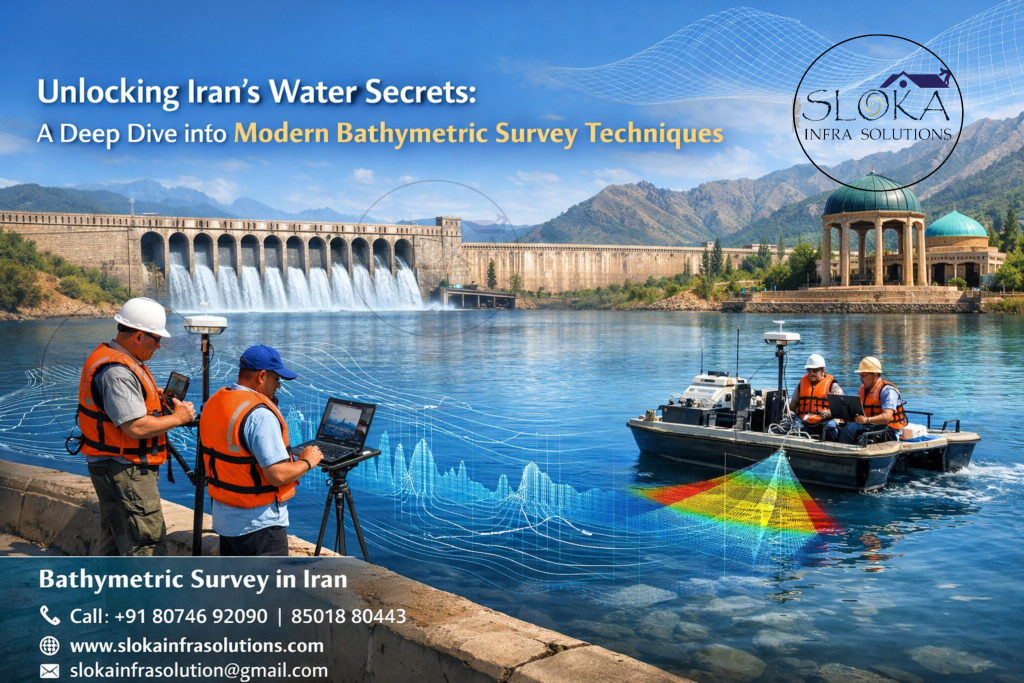
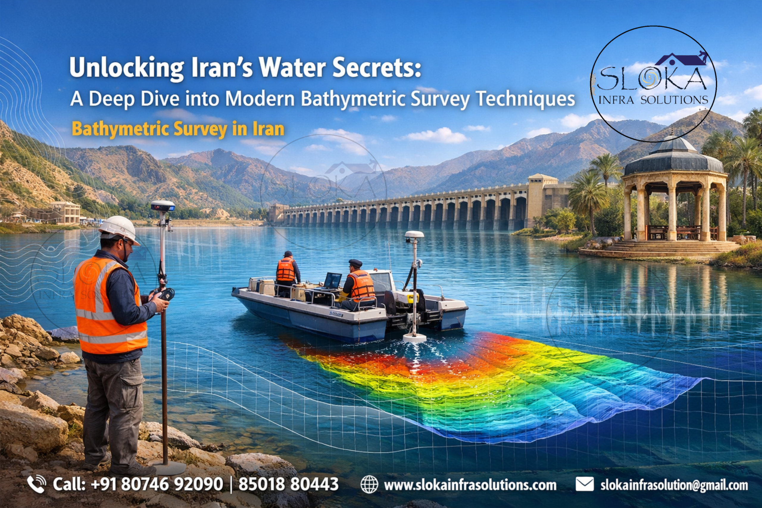
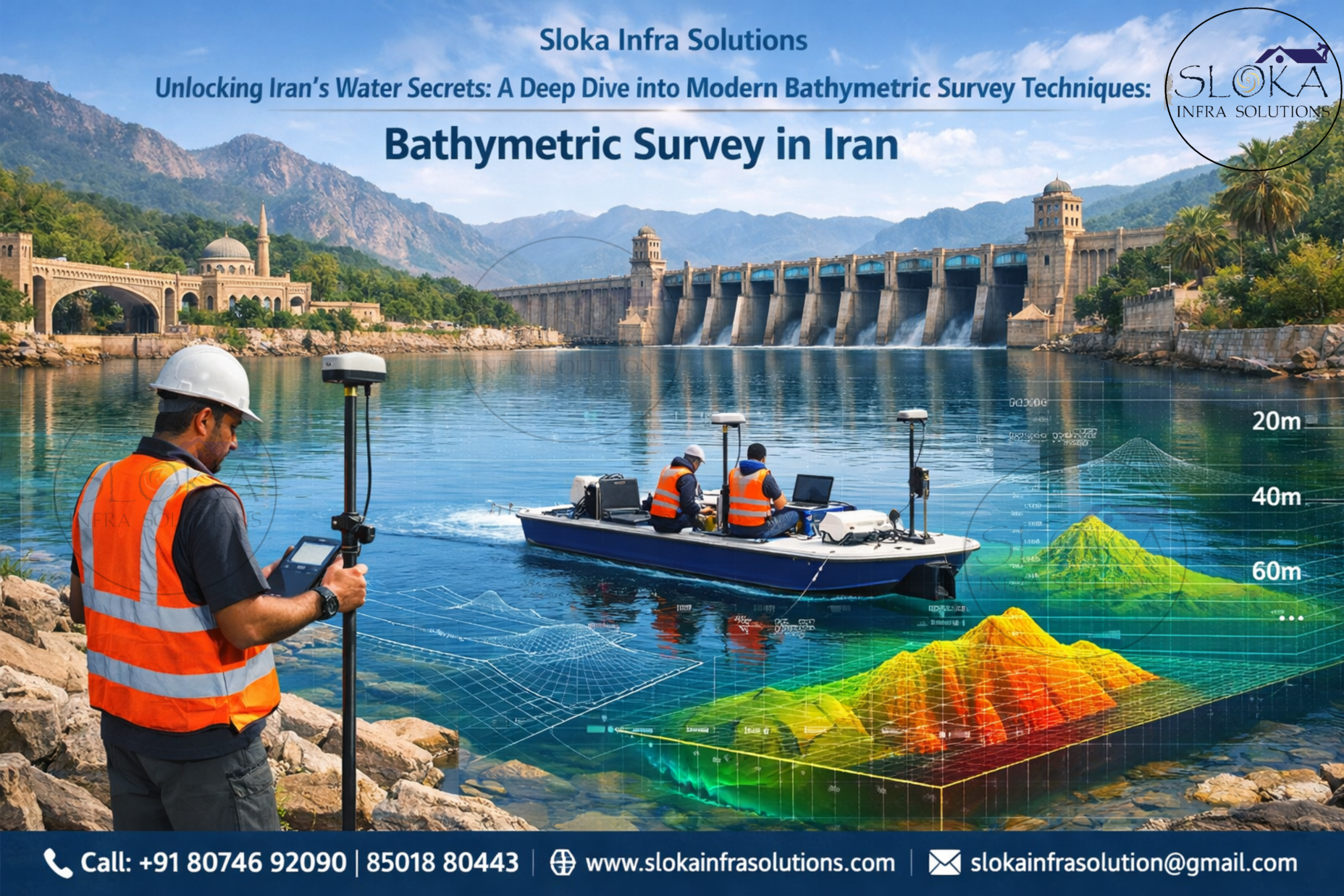
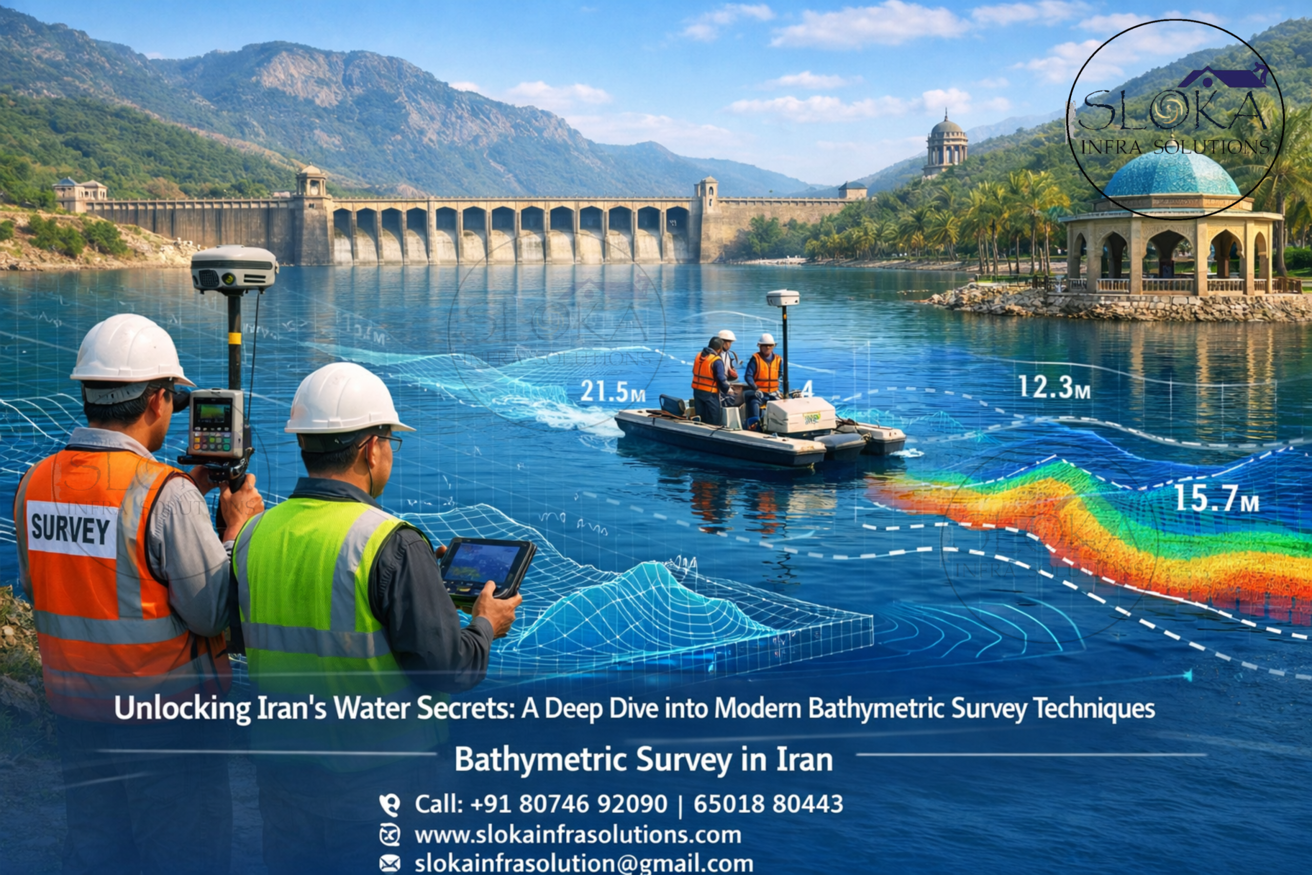
Bathymetric Survey in Iran
Call: +91 80746 92090
Unlocking Iran’s Water Secrets: A Deep Dive into Modern Bathymetric Survey Techniques:-
Bathymetric Survey in Iran plays a vital role in understanding the underwater topography of the country’s diverse and strategically significant water bodies. From the vast stretches of the Persian Gulf and the Gulf of Oman to inland reservoirs, rivers, and lakes, bathymetric surveys provide crucial data for navigation safety, coastal development, environmental monitoring, and offshore engineering. Iran’s geographic position—bordered by key maritime zones and enriched with complex hydrological systems—makes accurate seabed mapping not just important, but essential for sustainable development and national infrastructure planning.
Top Bathymetric Survey and Surveyor in Iran
Top Bathymetric Survey and Surveyor in Iran are instrumental in delivering precise hydrographic data that supports multiple sectors including oil & gas, port authorities, dredging operations, and environmental agencies. With increasing investments in coastal infrastructure and marine exploration, the demand for skilled surveyors and advanced bathymetric technologies has grown significantly across Iran. These experts combine modern equipment with deep technical expertise to map underwater terrains with high accuracy, ensuring safe and efficient maritime operations.
Why Iran needs a different bathymetric lens?
Iran’s watery edges and inland basins behave very differently from one another. The Caspian Sea is the world’s largest inland body of water and is bordered by Iran on the south, while the Persian Gulf is a shallow marginal sea connected to the Gulf of Oman through the Strait of Hormuz. Iran’s southern coastline is strategically important, but it is also operationally complex because ports, straits, and shallow coastal zones can change quickly under sediment movement, tide, and traffic. In the west and southwest, the Karun River system and the broad river mouths that feed the Gulf create another type of surveying challenge, one shaped by currents and sediment rather than open-sea swell.
That is why Bathymetric Survey in Iran must be planned around the specific water body, not around a generic template. A survey near Bandar Abbas or the Strait of Hormuz needs a very different mindset from a survey in Lake Urmia or an inland river reach near Ahvaz. In one place the problem may be shallow shoals and vessel traffic; in another, it may be salt-laden water, muddy bottoms, seasonal fluctuations, or buried channels beneath layers of sediment. Good bathymetry does more than draw pretty contours. It gives decision-makers a working picture of risk, opportunity, and change.
From depth reading to usable intelligence:-
At its core, bathymetric work turns acoustic or positional measurements into maps that people can act on. NOAA describes bathymetry as the study of underwater terrain, and USGS notes that bathymetric surveys measure water depth and map underwater features using tools such as single-beam and multibeam systems, ADCPs, and sub-bottom profilers. In practice, that means a survey can support safe navigation, dredging design, habitat assessment, flood studies, shoreline protection, port expansion, and cable or pipeline planning. The value of the data is not in the ping itself; it is in the decisions the ping makes possible.
In a country like Iran, that value multiplies because the water bodies serve very different purposes. The Caspian coast supports ecology, fisheries, and coastal settlement. Southern waters connect ports, shipping lanes, and energy corridors. The Gulf of Oman opens Iran to deeper marine conditions. Inland water bodies such as Lake Urmia carry environmental urgency as much as engineering value. So the first job of a bathymetric team is not only to measure depth but to ask the right question: what kind of underwater problem is this survey trying to solve?
Key Water Bodies Driving Survey Demand in Iran
Iran’s bathymetric survey requirements are shaped by its diverse aquatic environments:
1. Persian Gulf
A shallow and highly productive water body, the Persian Gulf is crucial for oil exports and marine trade. Bathymetric surveys here support dredging, pipeline installation, and port development.
2. Gulf of Oman
Deeper than the Persian Gulf, this region connects to the Arabian Sea and requires advanced surveying techniques for offshore infrastructure and navigation.
3. Caspian Sea
The world’s largest enclosed inland water body presents unique challenges due to fluctuating water levels and sedimentation patterns.
4. Inland Lakes & Rivers
Water bodies like Lake Urmia and the Karun River require bathymetric data for environmental restoration, irrigation planning, and flood control.
Technologies Used in Bathymetric Survey
Modern bathymetric surveys rely on advanced sonar-based technologies and positioning systems. These tools ensure high-resolution data collection even in challenging underwater environments.
Single Beam Echo Sounder Survey
Single Beam Echo Sounder (SBES) surveys are among the most traditional and widely used bathymetric techniques in Iran, especially for small-scale and inland water applications. This method involves emitting a single acoustic pulse directly beneath the survey vessel and measuring the time it takes for the echo to return after hitting the seabed.
In Iran, SBES is commonly used in rivers, reservoirs, and smaller lakes where high-resolution coverage is not mandatory but depth accuracy is crucial. The simplicity of the system makes it cost-effective and easy to deploy, particularly in remote or shallow areas.
Despite its limitations in coverage—since it collects data only along a single line—SBES remains valuable for baseline surveys, dredging volume calculations, and periodic monitoring of sediment accumulation. Surveyors often combine SBES data with GPS positioning systems to ensure spatial accuracy.
In regions like the Karun River basin or irrigation canals, SBES surveys provide essential insights into water depth variations, helping authorities manage water resources effectively.
Multibeam Echo Sounder Survey
Multibeam Echo Sounder (MBES) surveys represent a significant advancement over traditional methods, offering comprehensive and high-resolution seabed mapping. Unlike SBES, MBES systems emit multiple acoustic beams in a fan-shaped pattern, covering a wide swath of the seabed in a single pass.
In Iran, MBES is extensively used in the Persian Gulf and the Gulf of Oman, where detailed seabed information is critical for offshore oil platforms, pipeline routing, and port expansion projects. The technology enables surveyors to create detailed 3D models of the underwater terrain, revealing features such as slopes, trenches, and obstructions.
One of the major advantages of MBES is its ability to detect small objects and irregularities on the seabed, making it ideal for navigation safety and hazard identification. Additionally, the high data density allows for accurate volume calculations during dredging operations.
However, MBES systems require skilled operators, advanced calibration, and higher investment, which makes them more suitable for large-scale and high-priority projects. In Iran’s rapidly developing maritime sector, MBES has become an indispensable tool for precision hydrography.
ADCP Survey (Acoustic Doppler Current Profiler)
Acoustic Doppler Current Profiler (ADCP) surveys are essential for measuring water current velocities across different depths. In Iran, where coastal and riverine dynamics significantly influence marine operations, ADCP plays a crucial role in understanding hydrodynamic behavior.
ADCP devices use the Doppler effect to measure the velocity of water particles. By emitting sound waves and analyzing their from moving particles, the system calculates current speed and direction at various depths.
This technology is widely used in:
- Coastal engineering projects
- Sediment transport studies
- Flood forecasting in rivers
- Offshore platform stability assessments
In the Persian Gulf, ADCP surveys help in analyzing tidal currents and their impact on shipping routes and offshore installations. Similarly, in rivers like Karun, ADCP data supports flood management and irrigation planning.
The ability to capture real-time current profiles makes ADCP an invaluable tool for dynamic water environments. When combined with bathymetric data, it provides a comprehensive understanding of underwater conditions.
Side Scan Sonar
Side Scan Sonar is a specialized technique used to create detailed images of the seabed. Unlike echo sounders that focus on depth measurement, side scan sonar provides a visual representation of underwater features.
In Iran, this technology is particularly useful in:
- Detecting underwater objects and debris
- Locating shipwrecks and pipelines
- Supporting marine archaeology
- Inspecting seabed conditions for construction
The system works by emitting acoustic pulses sideways from a towfish or hull-mounted device. These signals are processed to generate high-resolution images that reveal textures, patterns, and objects on the seabed.
In busy maritime zones like the Persian Gulf, side scan sonar helps identify potential hazards that could affect navigation or infrastructure. It is also used in environmental studies to monitor seabed habitats and human impact.
The visual clarity provided by this method makes it an excellent complement to depth-based surveys, offering a more complete picture of underwater environments.
Sub Bottom Profilers
Sub Bottom Profilers (SBP) are advanced instruments used to study the layers beneath the seabed. In Iran, where offshore construction and geological studies are critical, SBP surveys provide valuable insights into subsurface conditions.
These systems emit low-frequency acoustic waves that penetrate the seabed and reflect off different sediment layers. By analyzing these reflections, surveyors can identify sediment thickness, rock formations, and buried objects.
Applications of SBP in Iran include:
- Offshore oil and gas exploration
- Pipeline and cable route planning
- Geological and geotechnical investigations
- Environmental impact assessments
In regions like the Gulf of Oman, SBP surveys help determine the suitability of seabed conditions for infrastructure development. They also play a role in identifying potential hazards such as buried debris or unstable sediments.
The ability to visualize subsurface structures makes SBP an essential tool for projects that require a deeper understanding of the seabed beyond surface mapping.
What a field campaign should feel like?
A professional bathymetric campaign usually begins long before the vessel enters the water. It starts with tide or water-level reference planning, positioning checks, sensor calibration, and route design. During acquisition, the team must watch for motion, sound velocity variation, sediment disturbance, and gaps in line coverage. After the run, the data must be cleaned, checked, and transformed into a reliable surface or profile. NOAA’s mapping guidance emphasizes configuration, calibration, and quality control, which is exactly what separates polished hydrographic results from rough measurements that cannot be trusted.
In Iran, this discipline matters because the survey environment can be demanding. The Caspian coast may involve soft sediment and fluctuating conditions. Southern ports may involve shipping traffic and narrow access windows. River work may involve moving water and suspended load. Inland lakes may shift shoreline and bottom texture with seasons and water balance. A survey team that slows down at the planning stage usually saves time later, because it collects cleaner data, avoids repeat runs, and produces outputs that engineers and planners can actually use. Good bathymetry is careful work disguised as a map.
Unpredictable Waters: Tackling Iran’s Diverse and Dynamic Marine Conditions:-
Despite technological advancements, bathymetric surveying in Iran comes with its own set of challenges:
- Harsh Environmental Conditions: High temperatures and salinity in the Persian Gulf can affect equipment performance.
- Sediment Dynamics: Rapid sedimentation in coastal areas requires frequent surveys.
- Geopolitical Constraints: Certain regions may have restricted access due to strategic importance.
- Technical Expertise: Advanced systems require skilled professionals for accurate data collection and processing.
Overcoming these challenges requires a combination of modern technology, skilled manpower, and strategic planning.
Real-Time Data, Real-Time Decisions: The Future of Intelligent Water Monitoring :-
With increasing focus on maritime development, renewable energy, and environmental conservation, the future of bathymetric surveying in Iran looks promising. Emerging technologies such as autonomous survey vessels, AI-driven data analysis, and satellite-derived bathymetry are expected to revolutionize the field.
Government initiatives aimed at port modernization, coastal infrastructure development, and inland water management will further drive the demand for accurate hydrographic data.
Mapping Today, Securing Tomorrow: The Lasting Impact of Bathymetric Surveys:-
Bathymetric Survey in Iran goes far beyond simply measuring water depth—it plays a vital role in ensuring safer navigation, smarter infrastructure planning, and a deeper understanding of underwater environments. Whether it’s traditional techniques like SBES or advanced solutions such as MBES, ADCP, and SBP, each method contributes uniquely to capturing the true complexity of Iran’s diverse water bodies.
As demand for marine development and inland water management continues to rise, the need for precise and dependable data becomes even more critical. This is where Top Bathymetric Survey and Surveyor in Iran make a real difference—combining expertise with modern technology to deliver insights that support both growth and sustainability. With the right approach, Iran is steadily unlocking the value of its aquatic landscapes while maintaining a strong balance between progress and environmental responsibility.