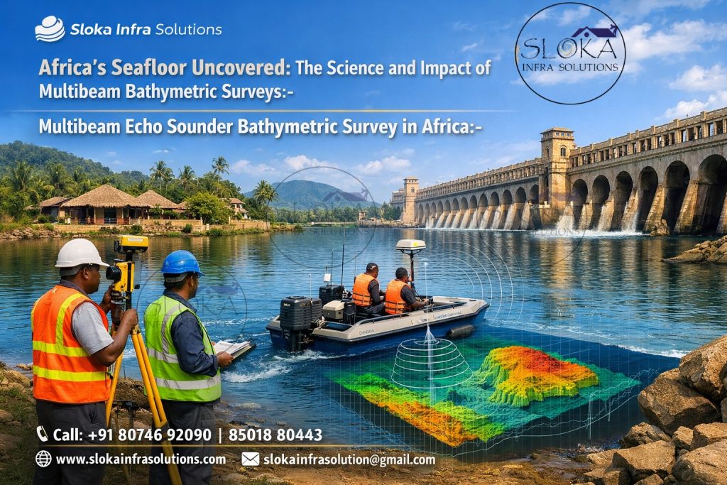
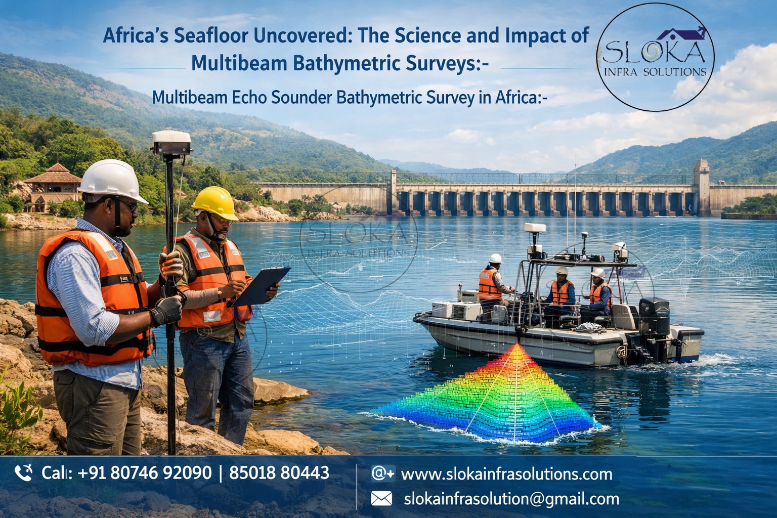
Multibeam Echo Sounder Bathymetric Survey in Africa
Africa’s Seafloor Uncovered: The Science and Impact of Multibeam Bathymetric Surveys:-
Call: +91 80746 92090
Multibeam Echo Sounder Bathymetric Survey in Africa begins as a promise: to reveal the hidden shapes of coastlines, river mouths, lake basins and continental shelves that have long been fogged by sparse data — and to turn that promise into high-resolution, usable maps for navigation, science and development. Multibeam systems send a fan of acoustic beams to the seafloor, measure travel times and angles, and convert thousands of soundings per second into dense swaths of depth and acoustic backscatter — the core ingredients of modern bathymetry.
Multibeam Echo Sounder Bathymetric Surveyor in Africa
Multibeam Echo Sounder Bathymetric Surveyor in Africa wears many hats: technician, data-scientist, navigator, and ambassador. From preparing survey plans sensitive to tides and seasonal river discharge, to calibrating motion sensors and sound-speed probes, the surveyor’s decisions determine whether collected data will be fit for charting a port, routing a cable, modelling coastal erosion or contributing to continental initiatives like Seabed 2030.
Why multibeam matters now and why Africa needs it?
Africa’s coastlines stretch more than 30,000 km and embrace hugely varied waters — from the warm, sediment-rich deltas of the Niger and Zambezi, to steep volcanic shores of the East African Rift, to vast tidal flats and large inland lakes (Victoria, Tanganyika, Malawi). Accurate bathymetry supports port modernization, offshore energy exploration, fisheries management, disaster planning (tsunami and storm surge modelling), and environmental protection. Recent global mapping pushes — notably Seabed 2030 — mean that getting African waters into modern maps is both a global priority and a local opportunity for coastal resilience and commerce.
How multibeam works — the short technical tour:-
At the heart of every multibeam system is a transducer array that transmits acoustic pulses across a fan-shaped swath. Each ping returns many echoes at slightly different arrival angles; beamforming and time-of-flight calculations convert those returns into across-track depths. In parallel, backscatter strength is recorded and later used to infer substrate type (sand, rock, mud) and objects on the seabed. Accuracy requires tightly coupled sensors: GNSS for position, an inertial measurement unit (IMU) for roll-pitch-heave-yaw, and frequent sound-speed profiling to correct ray paths through stratified water. Modern MBES packages can cover shallow nearshore environments with high frequency systems (hundreds of kHz) or dive deep with low frequency arrays suitable for continental slopes.
Choosing the right kit for African waters:-
Selection depends on mission profile:
Shallow coastal surveys and harbor charting → high-frequency MBES (300–700 kHz) for centimetre to decimetre resolution.
Deep water and continental shelf mapping → low-frequency systems (70–200 kHz) with wider swath capability.
Shallow, coral-rich or turbid estuaries → compact MBES or hull/ pole-mounted MBES with precise motion compensation and frequent sound-speed casts.
Leading manufacturers like Kongsberg produce systems across the range (EM2040, EM710 etc.) that meet stringent hydrographic standards and are designed for real-world conditions (wide sector coverage, multiple frequency modes). That flexibility matters when a survey in West Africa must switch between deep approach channels and shallow berthing areas within the same campaign.
Planning a survey in African contexts — practical considerations:-
Survey planning shapes quality and cost. Important steps:
1.Define deliverables up front. Are you delivering IHO-compliant bathymetry for charting, a digital terrain model (DTM) for engineers, or benthic backscatter for habitat mapping? Each needs different sounding density and QA.
2.Study local hydrography and tides. Many African coasts have large tidal ranges and strong currents (e.g., Gulf of Guinea, Mozambique Channel). Timing lines with slack water reduces heave and lateral drift.
3.Address river plumes and turbidity. Sediment-laden waters attenuate high frequencies — plan deeper pings or alternate frequencies where needed.
4.Logistics and permits. Coastal states may require clearances for surveys, especially around strategic infrastructure. Engage port authorities and hydrographic offices early.
5.Sound speed strategy. Frequent CTD or SVP casts along lines — and where available, tow-fish profilers — are essential to correct beam refraction in stratified or temperature-varying waters.
Data collection: best practices on deck:-
Execution is where plans meet waves:
Vessel control: Maintain steady speed and lane spacing that overlap swaths sufficiently for full coverage and backscatter mosaic coherence.
Calibration runs: Perform patch tests to align transducer offsets, latency, and angular errors. Small misalignments cause systematic depth biases.
Redundancy: Use secondary positioning (e.g., RTK GNSS base stations, local beacons) where GNSS availability is degraded.
Environmental sensors: Link real-time ADCPs for current profiling and SVP/CTD casts to update sound speed.
Data logging: Record raw sonar, motion, positioning, backscatter and environmental logs with synchronized timestamps. This full audit trail is critical during post-processing.
A disciplined on-board workflow prevents later surprises: many errors found during processing are easier to fix at sea (repeat a lane, redo an SVP) than in the office.
From pings to maps: processing and QA:-
Raw multibeam pings undergo a multi-step transformation before they become deliverables:
Initial cleaning and tide correction. Apply tide models or local gauge records to reduce vertical offsets.
Motion correction and patch-test adjustments. Use IMU records to de-skew beams and correct roll/pitch/heading artifacts.
Sound speed ray bending correction. Apply profiles to account for refraction; poor sound speed handling creates “smiles” or depth distortions across a swath.
Outlier removal and filtering. Remove acoustic spikes, surface noise, fish schools and other non-seabed returns.
Gridding and DTM generation. Choose cell size according to survey resolution and produce bathymetric grids, hillshades and backscatter mosaics.
Uncertainty analysis. Generate per-cell uncertainty metrics and meet the tolerances specified by the client or charting authority (IHO S-44).
Processing software ecosystems (CARIS HIPS & SIPS, QPS, MB-System, EIVA) provide the tools; but an experienced hydrographer’s judgment — about when to filter aggressively versus preserve real seabed anomalies — is invaluable.
Deliverables that matter to African users:-
Bathymetry campaigns commonly produce:
- Cleaned soundings and survey logs (RAW + processed).
- Geo-referenced grids (e.g., 1 m to 100 m resolution depending on scope).
- Backscatter mosaics for seabed character mapping.
- Navigation charts or ENC updates for port authorities.
- 3D visualizations and derivatives for engineering (slope, volume, cross-sections).
- Metadata and uncertainty reports required by IHO standards.
For coastal planners, detailed DTMs quantify dredge volumes and erosion rates. For fisheries, backscatter and bathymetry together reveal potential habitats and fish aggregation zones. For cable planners, high-resolution bathymetry exposes hazards like rock outcrops and anthropogenic debris.
Common challenges to MBES surveys in African waters:-
Funding and asset scarcity. Deep enough, suitably equipped survey vessels are fewer around Africa compared to developed surveying nations — leading to reliance on international contractors or smaller local vessels. Market growth is promising (equipment market projections show rising investment), but capacity gaps remain.
Turbidity & shallow environments. High sediment loads in rivers and estuaries attenuate acoustic signals and mask small seabed features. High-frequency systems can suffer in such waters.
Complex archipelagos and coral environments. Shallow, sensitive reefs require careful planning to avoid environmental impacts while collecting necessary data.
Data sharing and archival. Historically, bathymetric datasets were often held in silos; global efforts (GEBCO/Seabed2030) are opening paths to centralized, accessible maps.
Accuracy, error sources and how to keep them in check:-
MBES accuracy depends on an error budget combining geodetic positioning, motion sensor errors, sound speed misestimation, transducer offsets, and environmental effects. A rigorous approach quantifies each source and ensures final products meet required tolerances. In coastal Africa, rapidly changing water columns and strong currents increase the importance of on-line QA and frequent calibration. Recent regional studies emphasise the need for formal error analysis and robust field protocols to ensure MBES outputs are defensible for navigation and engineering.
The human factor: training and capacity building:-
A Multibeam Echo Sounder Bathymetric Surveyor in Africa must combine hands-on vessel experience with data science skills. Training pathways include naval hydrographic programs, university oceanography degrees, and industry courses that teach MBES operation, surveying standards (IHO S-44), and processing workflows. Investments in local training — and inshore shore-based processing centers — multiply the value of survey campaigns: data remains within national systems and fosters local expertise for maintenance, dredging, and coastal planning.
Policy, partnerships and the path to better maps:-
Making bathymetry work for people requires policy: data standards, sharing agreements, local capacity and integration with coastal planning. Partnerships between governments, navies, academic institutions, NGOs and private surveyors have already started to bear fruit; aligning those efforts under shared goals (port safety, climate adaptation, resource management) unlocks funding and technical support. The Seabed 2030 initiative is an example of a successful alignment, where national contributions feed a global map that benefits shipping, science, and local economies.
Practical tips for project owners and coastal managers in Africa:-
1.Set clear technical specifications. Define IHO survey order, grid spacing and allowable ncertainties before work begins.
2.Budget for QA and post-processing. Cheap fieldwork that lacks proper processing often becomes unusable.
3.Invest in sound-speed strategy. Frequent SVP casts or expendable probes (XBT/AXCTD) are cheap insurance for accurate depths.
4.Plan for local data integration. Deliver datasets in interoperable formats (e.g., BAG, GEOTIFF, CSV) and include metadata.
5.Consider hybrid fleets. Combine larger vessels for deep water with USVs/AUVs for nearshore complexity to lower costs and increase safety.
Stories from the field — vignettes
A port expansion in southern Africa required synchronized MBES mapping of a channel and adjacent berths. Project success hinged on adaptive survey planning: switching frequencies where turbidity spiked, and performing extra patch tests near noisy offshore infrastructure.
In East Africa, a hydrographic office used MBES and backscatter to delineate a previously unmapped shoal that posed a risk to fishing fleets — the update was quickly incorporated into local navigation advisories, reducing incidents.
University research in the Great Rift Lakes used MBES to reveal submerged terraces and faulted basins — insights now shape freshwater management and hazard awareness.
The future: what to expect in the next decade:-
Expect faster regional mapping, largely driven by
Growing regional investment and international aid for port and coastal infrastructure.
Wider adoption of USVs/AUVs, which cut mobilization costs and let smaller teams collect survey-quality data.
Data democratization through platforms like Seabed 2030 and national open data policies.
Improved processing automation (machine learning for seafloor classification) and cloud workflows that let shore teams process larger datasets efficiently.
For African nations, these trends translate to better informed coastal development, safer navigation, improved fisheries management and stronger climate adaptation planning.
Final thoughts — turning depth into value:-
The Multibeam Echo Sounder Bathymetric Survey in Africa represents more than just data collection. It’s about revealing unseen underwater landscapes, empowering decision-makers, and supporting sustainable management of natural resources across one of the world’s most water-rich continents. Equally important, skilled Multibeam Echo Sounder Bathymetric Surveyor in Africa professionals are at the forefront of translating acoustic pulses into meaningful knowledge — shaping safer navigation, smarter infrastructure, and healthier aquatic ecosystems for future generations.