Side Scan Sonar Survey
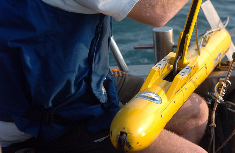
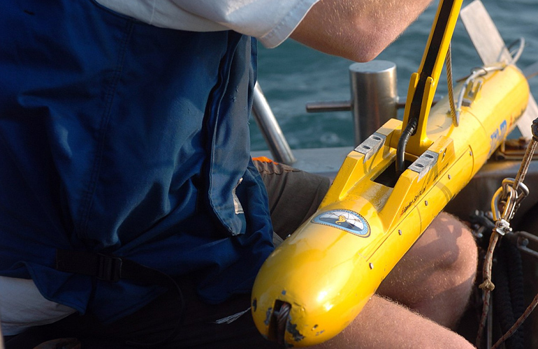
Side scan sonar surveys are used to capture high-resolution images of the seafloor, revealing objects, structures, and changes in underwater terrain. At Sloka Infra Solutions, we utilize cutting-edge side scan sonar technology to provide detailed imaging of the seabed, essential for marine archaeology, wreck detection, and habitat mapping. Our side scan sonar surveys are ideal for identifying submerged hazards, mapping underwater features, and supporting environmental assessments. The images we produce offer a clear view of the underwater environment, allowing for precise identification and analysis of objects and structures. Our experienced team ensures that the data collected is accurate and presented in an easily interpretable format. With our side scan sonar surveys, you gain a comprehensive understanding of the seafloor, supporting safe and efficient project execution.
Side Scan Sonar Survey
Advanced Side Scan Sonar (SSS) surveys for high-resolution underwater imaging, enabling the accurate detection, identification, and mapping of submerged objects and seabed features.
Pipelines
Locate and inspect submerged pipelines for installation, maintenance, and integrity assessments.
Shipwrecks
Identify and map shipwrecks with detailed sonar imagery for marine investigations and heritage studies.
Debris
Detect underwater debris that may affect navigation, dredging, or offshore construction activities.
Boulders
Accurately identify submerged boulders and rocky formations that pose operational hazards.
Obstructions
Locate underwater obstructions to support safe navigation, engineering, and marine infrastructure projects.
Cables
Map submerged cables for route verification, inspection, maintenance, and protection planning.
Side Scan Sonar Survey
Side scan sonar surveys are used to capture high-resolution images of the seafloor, revealing objects, structures, and changes in underwater terrain. At Sloka Infra Solutions, we utilize cutting-edge side scan sonar technology to provide detailed imaging of the seabed, essential for marine archaeology, wreck detection, and habitat mapping. Our side scan sonar surveys are ideal for identifying submerged hazards, mapping underwater features, and supporting environmental assessments. The images we produce offer a clear view of the underwater environment, allowing for precise identification and analysis of objects and structures. Our experienced team ensures that the data collected is accurate and presented in an easily interpretable format. With our side scan sonar surveys, you gain a comprehensive understanding of the seafloor, supporting safe and efficient project execution.
