Hydrographic Survey
Hydrographic Survey
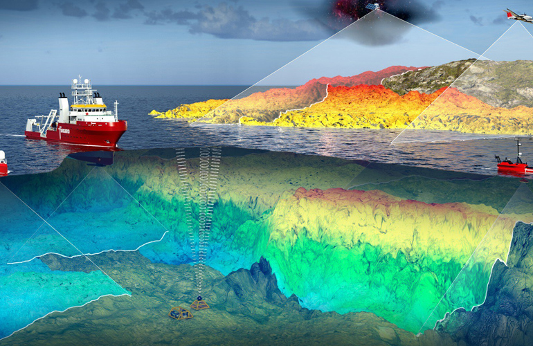
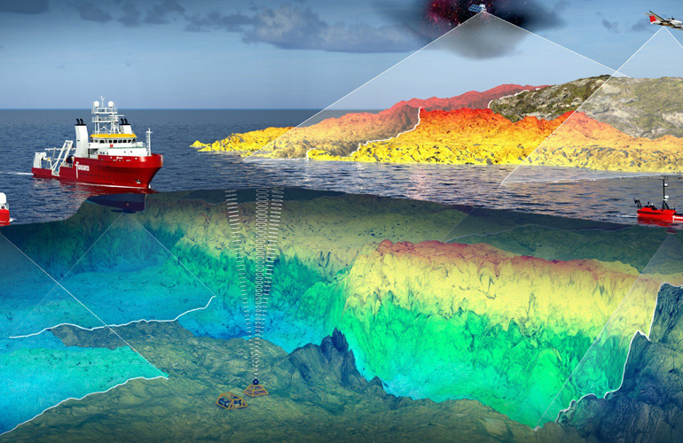
Hydrographic surveys are essential for mapping and understanding underwater terrain and features. At Sloka Infra Solutions, we use advanced sonar technology to provide highly accurate and detailed bathymetric data. Our hydrographic surveys are crucial for a variety of applications, including navigation safety, coastal development, and environmental monitoring. We deliver comprehensive reports that include precise depth measurements, underwater topography, and identification of potential hazards. Whether you’re planning a marine construction project or conducting environmental assessments, our hydrographic surveys offer the data needed to make informed decisions. Our team is skilled in conducting surveys in various water bodies, from rivers to oceans, ensuring thorough and reliable results.
Hydrographic Survey
Comprehensive Hydrographic Surveys for inland waterways, ports, harbours, rivers, lakes, reservoirs, and offshore infrastructure, delivering accurate bathymetric and geospatial data for navigation, engineering, and marine development projects.
Inland Waterways
Accurate depth and channel surveys for rivers, canals, and inland navigation routes.
Ports
Hydrographic surveys supporting port planning, dredging, maintenance, and expansion projects.
Harbours
Detailed seabed mapping and depth analysis for safe harbour operations and infrastructure development.
Rivers
Riverbed surveys for flood studies, bridge engineering, hydraulic analysis, and navigation.
Lakes & Reservoirs
Bathymetric mapping for water storage analysis, sedimentation studies, and reservoir management.
Offshore Infrastructure
Marine surveys for offshore platforms, pipelines, coastal structures, and engineering projects.
Hydrographic Survey
Hydrographic surveys are essential for mapping and understanding underwater terrain and features. At Sloka Infra Solutions, we use advanced sonar technology to provide highly accurate and detailed bathymetric data. Our hydrographic surveys are crucial for a variety of applications, including navigation safety, coastal development, and environmental monitoring. We deliver comprehensive reports that include precise depth measurements, underwater topography, and identification of potential hazards. Whether you're planning a marine construction project or conducting environmental assessments, our hydrographic surveys offer the data needed to make informed decisions. Our team is skilled in conducting surveys in various water bodies, from rivers to oceans, ensuring thorough and reliable results.
