• +91 8074692090
  • slokainfrasolution@gmail.com

Drone Survey

Drone Survey

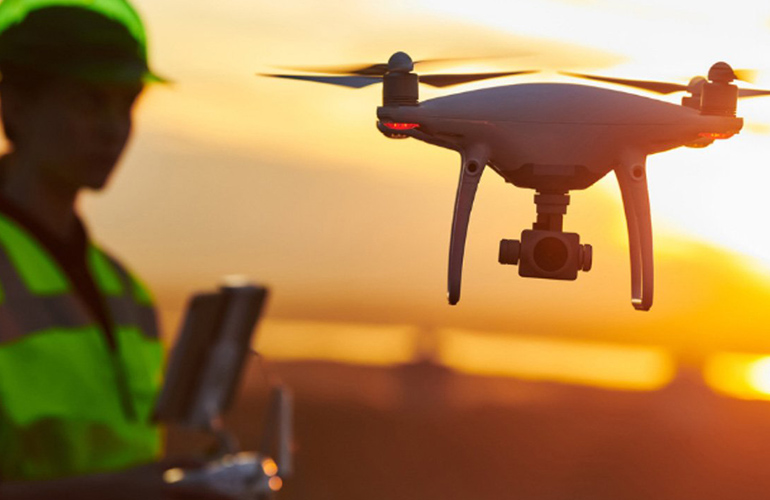
Drone surveys are revolutionizing the way we capture aerial data, offering a fast, efficient, and highly accurate method for mapping and inspecting large areas. At Sloka Infra Solutions, we harness the power of drone technology to deliver high-resolution aerial surveys that provide detailed insights into the terrain and structures. Our drone surveys are ideal for construction site monitoring, agricultural assessments, infrastructure inspections, and environmental studies. The ability to quickly cover extensive areas and access hard-to-reach locations makes our drone surveys a cost-effective solution for many applications. We use advanced drones equipped with GPS and high-definition cameras to capture precise data, which is then processed into detailed maps, 3D models, and orthophotos. Our team of certified drone pilots and surveyors ensures that each survey is conducted safely, efficiently, and in compliance with all regulations. With our drone surveys, you gain a comprehensive view of your project area, enabling better planning, monitoring, and decision-making.

Drone Survey

Advanced Drone Survey solutions delivering high-resolution orthophotos, contour mapping, volumetric analysis, and 3D models for construction, mining, infrastructure, and land development projects.

01

High-Resolution Orthophotos

Capture accurate aerial imagery with georeferenced orthophotos for mapping, planning, and site documentation.

02

Contour Mapping

Generate detailed contour maps and elevation models for engineering design, land development, and planning.

03

Volumetric Analysis

Accurately calculate stockpile, excavation, and earthwork volumes for mining, construction, and quarry projects.

04

3D Models

Create high-quality 3D terrain and infrastructure models for visualization, inspection, and project planning.

Drone Survey

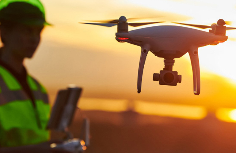
Drone surveys are revolutionizing the way we capture aerial data, offering a fast, efficient, and highly accurate method for mapping and inspecting large areas. At Sloka Infra Solutions, we harness the power of drone technology to deliver high-resolution aerial surveys that provide detailed insights into the terrain and structures. Our drone surveys are ideal for construction site monitoring, agricultural assessments, infrastructure inspections, and environmental studies. The ability to quickly cover extensive areas and access hard-to-reach locations makes our drone surveys a cost-effective solution for many applications. We use advanced drones equipped with GPS and high-definition cameras to capture precise data, which is then processed into detailed maps, 3D models, and orthophotos. Our team of certified drone pilots and surveyors ensures that each survey is conducted safely, efficiently, and in compliance with all regulations. With our drone surveys, you gain a comprehensive view of your project area, enabling better planning, monitoring, and decision-making.