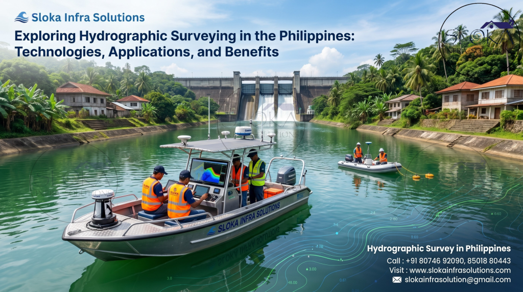
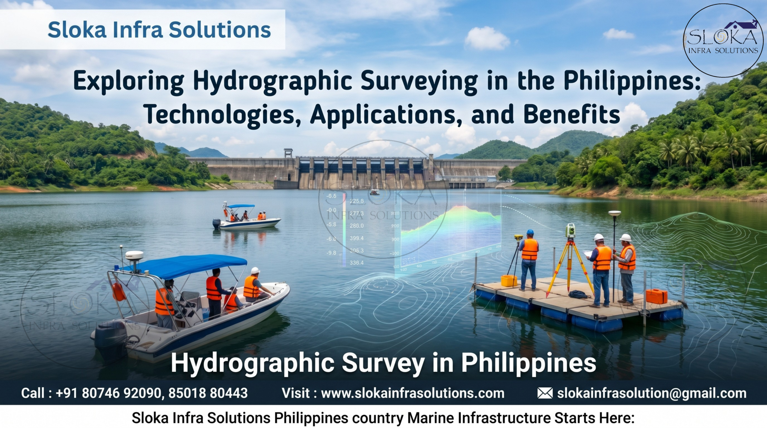
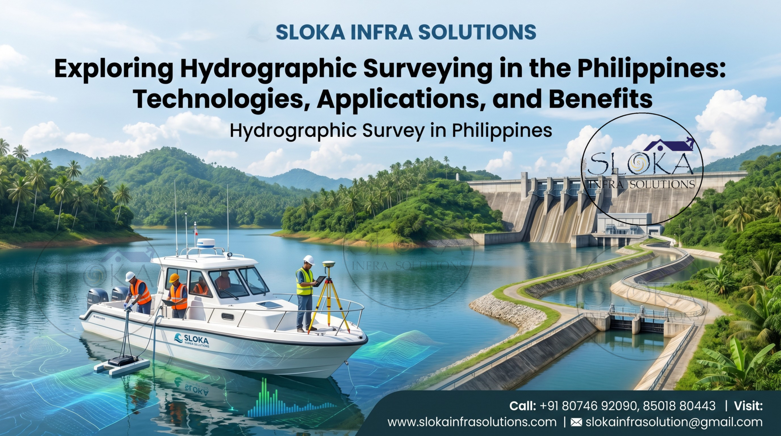
Hydrographic Survey in Philippines
Exploring Hydrographic Surveying in the Philippines: Technologies, Applications, and Benefits
Call: +91 80746 92090
Hydrographic Survey in Philippines plays a critical role in the development, management, and protection of the country’s extensive marine and inland water resources. As an archipelagic nation consisting of more than 7,600 islands, the Philippines depends heavily on its oceans, rivers, lakes, reservoirs, ports, and coastal regions for transportation, trade, fisheries, tourism, environmental conservation, and infrastructure development. Hydrographic surveying provides detailed information about underwater terrain, water depths, seabed conditions, currents, and submerged features, helping government agencies, engineers, scientists, and maritime operators make informed decisions. With increasing investments in coastal infrastructure, port modernization, offshore developments, and marine environmental management, hydrographic surveys have become an essential component of sustainable growth across the Philippines.
Top Hydrographic Survey & Surveyors in Philippines
Top Hydrographic Survey & Surveyors in Philippines provide reliable underwater mapping and precise marine data solutions, helping support safer navigation, infrastructure development, coastal management, environmental studies, and various offshore projects across the country’s diverse waterways. Professional hydrographic surveyors utilize advanced technologies such as Single Beam Echo Sounders, Multibeam Echo Sounders, Acoustic Doppler Current Profilers (ADCP), Side Scan Sonars, Sub Bottom Profilers, and GNSS positioning systems to gather highly accurate information beneath the water surface. Their expertise contributes to safer navigation, efficient dredging operations, coastal protection projects, offshore engineering, scientific research, and environmental monitoring. As maritime activities continue to expand throughout the nation, the demand for skilled surveyors and reliable hydrographic data continues to grow.
Understanding Hydrographic Surveying in the Philippine Context!
- Measures and maps underwater features, depths, and seabed conditions.
- Supports navigation across the country’s vast network of islands.
- Assists in monitoring rivers, lakes, reservoirs, and coastal waters.
- Identifies underwater hazards that may affect marine transportation.
- Provides essential information for engineering and construction projects.
- Supports environmental conservation and habitat mapping.
- Helps authorities manage coastal and offshore resources effectively.
- Enables accurate charting of waterways used by commercial and fishing vessels.
Why Hydrographic Surveys Are Important in the Philippines?
The Philippines relies extensively on marine transportation because thousands of islands are separated by large stretches of water. Passenger ferries, cargo vessels, fishing boats, and commercial ships travel through these waterways every day. Accurate hydrographic information is essential for ensuring safe navigation and reducing the risk of maritime accidents.
Hydrographic surveys also play a significant role in infrastructure development. Before constructing ports, bridges, seawalls, offshore platforms, or coastal facilities, engineers require detailed information about underwater conditions. Reliable survey data helps optimize project planning, improve safety, and reduce construction risks.
In addition, hydrographic surveys support environmental management initiatives. By understanding seabed characteristics and water dynamics, authorities can better protect marine ecosystems, monitor sediment movement, and assess the impacts of climate change on coastal regions. These surveys contribute to sustainable development while balancing economic growth and environmental protection.
Major Water Bodies That Require Hydrographic Surveys:-
The Philippines occupies a strategically important location in Southeast Asia and is bordered by several major water bodies, including the:
- Philippine Sea
- South China Sea
- Sulu Sea
- Celebes Sea
- Visayan Sea
- Sibuyan Sea
- Bohol Sea
- Laguna de Bay
- Taal Lake
- Lake Lanao
- Angat Reservoir
- Pantabangan Reservoir
- Cagayan River
- Agusan River
- Pampanga River
- Mindanao River
- Manila Bay
- Subic Bay
- Batangas Bay
- Davao Gulf
Hydrographic Survey Applications Across the Country:-
Hydrographic surveys serve a wide range of industries and sectors throughout the Philippines. One of their primary applications is the maintenance of navigation channels. Ports and harbors require routine monitoring to ensure vessels can operate safely and efficiently. Survey data helps identify sediment accumulation and potential obstructions that may impact vessel movement.
Another important application is coastal engineering. As coastlines face erosion, severe weather conditions, and environmental changes, hydrographic surveys deliver valuable insights for developing effective coastal protection and shoreline improvement solutions.
The surveys are equally valuable for scientific research and marine resource management. Researchers use hydrographic data to study seabed morphology, habitat distribution, sediment transport, and oceanographic processes. These findings contribute to more effective conservation and resource planning initiatives.
Modern Technologies Used in Hydrographic Surveying:-
- GNSS Positioning Systems
- Single Beam Echo Sounders
- Multibeam Echo Sounders
- Side Scan Sonars
- Acoustic Doppler Current Profilers
- Sub Bottom Profilers
- Hydrographic Survey Software
- Tidal Monitoring Systems
- Unmanned Survey Vessels
- Remote Sensing Technologies
- Bathymetric Mapping Systems
- Digital Hydrographic Data Processing Tools
1.Single Beam Echo Sounder Survey:-
A Single Beam Echo Sounder Survey remains one of the most practical and widely used hydrographic survey techniques. The system operates by transmitting an acoustic signal directly beneath the survey vessel and measuring the time required for the signal to travel to the seabed and return. This information is then converted into accurate depth measurements.
In the Philippines, Single Beam Echo Sounder surveys are frequently conducted in rivers, lakes, reservoirs, irrigation canals, ports, and nearshore coastal waters. These surveys provide reliable bathymetric data while maintaining cost-effectiveness and operational simplicity.
The technology is particularly useful for projects that require depth measurements along predefined survey lines. Engineers and planners use the resulting data to assess waterway conditions, calculate dredging quantities, evaluate reservoir capacities, and support flood management studies.
Single Beam Echo Sounders are often integrated with high-precision GNSS systems to ensure accurate positioning. The combination allows surveyors to produce detailed underwater profiles that assist in infrastructure planning and resource management.
Although multibeam technologies provide broader coverage, Single Beam Echo Sounders remain highly valuable for many projects due to their affordability, efficiency, and reliability. Their continued use throughout the Philippines demonstrates their importance in supporting hydrographic and engineering applications.
2.ADCP Survey:-
- Measures water current speed and direction.
- Uses Doppler technology to analyze water movement.
- Supports river discharge calculations.
- Assists in flood risk assessments.
- Helps evaluate sediment transport processes.
- Provides valuable information for coastal engineering.
- Supports environmental and ecological studies.
- Assists offshore construction projects.
- Monitors tidal and circulation patterns.
- Improves water resource management strategies.
Benefits of ADCP Surveys for Philippine Waterways:
The Philippines experiences complex hydrodynamic conditions due to seasonal monsoons, typhoons, tidal influences, and river discharges. Understanding these water movements is critical for managing infrastructure and protecting communities from water-related hazards.
ADCP surveys provide highly detailed information about flow conditions throughout the water column. This enables engineers and researchers to evaluate current behavior at different depths rather than relying solely on surface observations.
The collected data supports flood forecasting, navigation planning, sediment transport studies, and coastal protection initiatives. It is also valuable for designing bridges, ports, offshore structures, and water resource management systems. As climate variability continues to influence water conditions, ADCP surveys are becoming increasingly important throughout the country.
3.Multibeam Echo Sounder Survey:-
- Produces highly detailed bathymetric maps.
- Covers large survey areas efficiently.
- Generates three-dimensional seabed models.
- Detects underwater structures and obstructions.
- Supports navigation safety improvements.
- Assists dredging and reclamation projects.
- Provides data for marine habitat mapping.
- Supports offshore energy developments.
- Enhances coastal engineering studies.
- Improves underwater infrastructure planning.
Why Multibeam Surveys Are Transforming Marine Mapping?
Multibeam Echo Sounder technology has revolutionized modern hydrographic surveying by allowing surveyors to capture extensive seabed coverage during a single survey operation. Instead of collecting data from only one point beneath the vessel, multibeam systems gather thousands of measurements across a wide swath.
This capability enables the creation of highly accurate three-dimensional models of the underwater environment. Engineers can visualize seabed conditions with exceptional detail, improving project planning and risk assessment.
In the Philippines, multibeam surveys are increasingly utilized for port expansion projects, offshore developments, navigation channel assessments, and scientific research. The technology helps identify submerged hazards, monitor seabed changes, and support sustainable marine development initiatives.
4.Side Scan Sonar:-
Side Scan Sonar is a specialized hydrographic surveying technology designed to create detailed images of the seabed rather than simply measuring water depth. The system emits acoustic pulses to both sides of a survey vessel and records the reflected signals to generate high-resolution imagery of underwater features.
This technology is particularly valuable in Philippine waters where submerged objects, shipwrecks, pipelines, cables, and natural seabed structures require detailed investigation. Side Scan Sonar enables surveyors to identify and classify these features with remarkable clarity.
The technology is commonly used in port inspections, marine construction projects, underwater archaeology, search and recovery operations, environmental assessments, and navigation hazard investigations. It provides visual information that complements traditional bathymetric surveys.
Modern Side Scan Sonar systems can operate efficiently across large areas while producing highly detailed seabed imagery. The collected data assists decision-makers in understanding underwater conditions and planning appropriate actions.
As coastal development and marine activities continue to expand across the Philippines, Side Scan Sonar remains a crucial tool for enhancing underwater awareness and improving operational safety.
Key Advantages of Side Scan Sonar Surveys:
- High-resolution seabed imaging.
- Detection of submerged objects.
- Identification of navigation hazards.
- Support for search and recovery missions.
- Enhanced marine archaeological investigations.
- Improved environmental assessments.
- Efficient large-area coverage.
- Valuable support for engineering projects.
5.Sub Bottom Profilers:-
Sub Bottom Profilers are advanced acoustic systems used to investigate layers beneath the seabed surface. Unlike conventional bathymetric equipment, which measures only the seafloor, these instruments penetrate sediment layers and reveal geological structures below.
Across the Philippines, Sub Bottom Profilers are widely utilized for coastal development, offshore construction planning, renewable energy initiatives, dredging assessments, and subsurface site investigations.Understanding subsurface conditions is essential before undertaking major marine construction activities.
The technology helps identify sediment thickness, buried channels, rock formations, and other geological features that may influence project feasibility and design. Engineers rely on this information to minimize risks and optimize construction strategies.
Sub Bottom Profilers also support environmental and scientific research by providing insights into sediment deposition patterns and historical geological processes. These findings contribute to a better understanding of coastal evolution and marine ecosystem development.
As offshore investments continue to increase throughout the Philippines, Sub Bottom Profilers play a vital role in delivering the subsurface information needed for informed decision-making.
Industries That Benefit from Sub Bottom Profiling:
- Port development projects
- Offshore energy installations
- Coastal engineering initiatives
- Dredging operations
- Geotechnical investigations
- Marine scientific research
- Pipeline and cable route studies
- Habitat mapping programs
- Sediment transport assessments
- Infrastructure planning projects
Advancing Coastal and Marine Infrastructure with Better Data:-
The future of hydrographic surveying in the Philippines is closely linked to technological innovation and sustainable marine development. Emerging technologies such as autonomous survey vessels, artificial intelligence, cloud-based data processing, advanced sonar systems, and real-time monitoring platforms are transforming how underwater data is collected and analyzed.
As the nation continues investing in transportation networks, coastal resilience projects, renewable energy developments, and environmental conservation initiatives, demand for accurate hydrographic information will continue to rise. Surveyors will play an increasingly important role in supporting these projects while helping protect valuable marine and freshwater resources.
The continued advancement of hydrographic technologies will improve survey efficiency, enhance data quality, and provide deeper insights into the country’s complex aquatic environments. These developments will strengthen maritime safety, infrastructure planning, and environmental stewardship for generations to come.
Supporting Safer and Smarter Waterway Navigation:-
Hydrographic Survey in Philippines remains one of the most important tools for understanding and managing the nation’s extensive water resources. Likewise, Top Hydrographic Survey & Surveyors in Philippines continue to support maritime safety, engineering excellence, environmental sustainability, and infrastructure growth through the application of advanced survey technologies. From Single Beam Echo Sounder Surveys and ADCP studies to Multibeam Echo Sounders, Side Scan Sonars, and Sub Bottom Profilers, hydrographic surveying provides the critical information needed to support safe navigation, responsible development, and long-term management of the Philippines’ diverse marine and inland water environments.