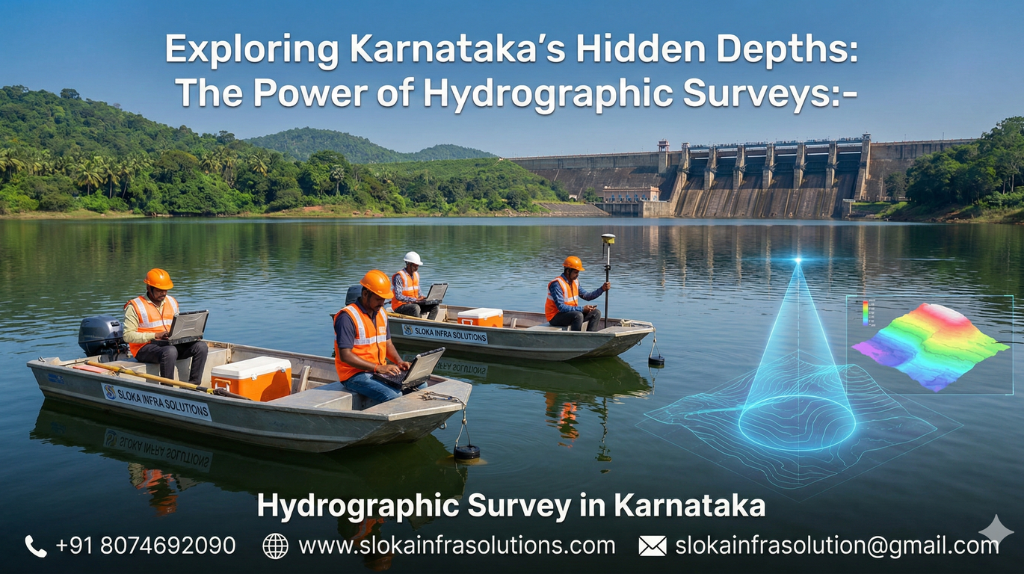
Hydrographic Survey in Karnataka
Exploring Karnataka’s Hidden Depths: The Power of Hydrographic Surveys:-
Hydrographic Survey in Karnataka:-
Call: 80746 92090
Hydrographic Survey in Karnataka is fast becoming a strategic imperative as the state confronts growing demands on its coastal, riverine, and reservoir systems. From the western coastline abutting the Arabian Sea to the labyrinth of rivers and reservoirs inland, Karnataka’s aquatic assets require precision mapping, continuous monitoring, and intelligent planning to serve navigation, water security, ecology, and infrastructure development.
Top Hydrographic Survey and Surveyor in Karnataka
Top Hydrographic Survey and Surveyor in Karnataka must deliver more than just depth charts — they must integrate geophysics, acoustics, GIS and local know-how to make hydrographic data actionable and sustainable. In this post, I explore why Karnataka is a prime candidate for advanced hydrographic work, the methodologies in depth, challenges, and how modern survey techniques are applied in this state.
Why Karnataka’s water landscape demands advanced hydrography?
Karnataka is geographically diverse, hydrologically rich, and ecologically sensitive. Its water bodies fall under several categories:
1.Coastal & Marine Zones
- Karnataka boasts a coastline of roughly 343 km, with cliffs, estuaries, inlets, and offshore reefs.
- The coastal zone includes river mouths, lagoons, mangroves, and nearshore seabed features.
- Ports, fishing harbors, and marine infrastructure require accurate bathymetric and seabed imaging.
2.Rivers, Streams & Catchments
- Major river basins such as Kaveri, Krishna (in part), and numerous western-flowing rivers originate in the Western Ghats and carve deep valleys.
- Seasonal monsoon flows carry sediment, reshape riverbeds, and deposit in estuaries.
- Inland navigation, flood planning, and river engineering benefit from cross-section and longitudinal surveys.
3.Reservoirs, Lakes & Traditional Tanks
- Karnataka maintains ~74 major reservoirs and thousands of smaller tanks and village ponds.
- Many tank systems date centuries back, with bunds, sluices, and canal networks.
- Over years, silt accumulates, reducing storage capacity and altering bathymetry.
4.Emerging Digital Waterbody Mapping
- The Government has initiated geotagging and digital registries of tens of thousands of lakes and tanks.
- This digital baseline allows future hydrographic surveys to tie into a common data infrastructure.
Because of this intricate water network, Karnataka is uniquely positioned to benefit from precision hydrography. The blend of coastal, estuarine, riverine, and inland waterbodies means surveyors here must be multi-disciplinary and adaptive.

The Role & Expectations of Top Hydrographic Survey and Surveyor in Karnataka:-
When selecting or envisioning the Top Hydrographic Survey and Surveyor in Karnataka, stakeholders should expect the following capabilities:
Core Capabilities & Responsibilities
Comprehensive survey design: Understanding project goals (navigation, dredging, reservoir assessment, habitat mapping) and translating them into sensor choices and line plans.
Multisensor integration: Using multibeam and single-beam echo sounders, side-scan sonar, sub-bottom profilers, GNSS/RTK and motion sensors in tandem.
Geospatial & GIS deliverables: Producing digital elevation models, georeferenced mosaics, sediment thickness maps, and QA metadata.
Local knowledge: Familiarity with Karnataka’s coastal districts, inland waters, regulatory permissions, monsoon impacts and field logistics.
Environmental sensitivity: Minimizing disturbance to aquatic habitats, coordinating around spawning or nesting seasons, and managing acoustic exposure.
Repeatability & documentation: Ensuring future re-surveys can align to the same datum, calibrations and quality protocols.
Stakeholders — whether state agencies, port authorities, irrigation departments or research institutions — need surveyors who can deliver depth, context, and actionable insights, not just raw data.
Key Use Cases of Hydrographic Surveys in Karnataka:-
Hydrographic work in Karnataka is not academic — it drives real projects. Some prominent applications include:
1.Port & Harbor Planning / Dredging
- Charting safe navigation corridors, approach channels, turning basins.
- Estimating dredging volumes, identifying shoaled zones, and scheduling maintenance dredging cycles.
2.Coastal Hazard & Resilience Mapping
- Feeding coastal erosion models, storm surge and tide inundation simulations.
- Protecting mangroves, preserving littoral habitats and safeguarding coastal communities
3.Reservoir & Tank Management
- Quantifying storage loss due to sedimentation.
- Planning targeted desiltation, prioritizing catchment interventions, and maintaining fishery habitats.
4.River & Inland Waterway Design
- Profiling cross-sections for river engineering (like bank protection, navigation channels).
- Evaluating channel stability, identifying submerged hazards, and assisting flood modelers.
5.Environmental, Habitat & Archaeology Surveys
- Mapping benthic features, submerged habitats, coral or seagrass patches.
- Locating buried features or wrecks via sub-bottom and side-scan imaging in estuaries or reservoir margins.
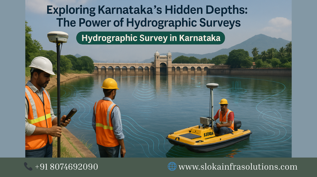
Methods & Technologies in Hydrographic Survey:-
To get a clear picture, it’s essential to understand the main tools and techniques used in hydrographic work:
Bathymetric Methods (Multibeam & Single Beam):-
- Multibeam echo sounders (MBES): emit multiple beams across a wide swath; provide dense depth coverage and allow creation of high-resolution bathymetric maps.
- Single-beam echo sounders (SBES): cheaper, simpler, used in narrow corridors or small lakes where full swath coverage is not essential.
- Sound speed profiling, tidal correction, calibration: essential steps to convert acoustic travel times to accurate depths.
Positioning, Motion & Corrections:-
- GNSS / RTK: high-precision positioning for vessel location.
- Inertial systems, motion sensors & heave compensation: correct for roll, pitch, yaw, and vessel movement.
- Tide gauges & vertical datum conversion: align depths to a consistent vertical reference.
Data Processing & Quality Control:-
- Filtering, outlier removal, interpolation, surface draping.
- QC checks on point density, overlap, soundings vs. models.
- Generating deliverables: DEMs, contour maps, point clouds, report documents.
Sub Bottom Profilers — Probing beneath the seabed:–
A sub bottom profiler (SBP) is a type of acoustic instrument designed to image and interpret subsurface sedimentary layers beneath the seabed or reservoir bed. Unlike conventional echo sounders which only map the water column and sea floor, SBPs send low-frequency acoustic pulses that penetrate sediment layers. Reflections occur at interfaces where acoustic impedance changes — for example, between sand and clay, or sediment and bedrock. The system records the time-series of those reflected signals and converts them into cross-sectional profiles showing stratigraphy, buried features, sediment thickness and more.
Applications in Karnataka:
Reservoir & Tank Sedimentation Analysis
– Reservoirs in Karnataka are subject to gradual infilling from upstream erosion, agricultural runoff, and monsoon events. Bathymetry alone reveals how deep the water is; SBP reveals why — the layering, thickness, and composition of infill.
– Engineers can detect hardpan layers or compacted sediment zones that affect dredging strategy or removal cost.
– By combining SBP profiles with sediment cores, one can calibrate acoustic facies to physical properties. This supports accurate volume estimates, dredgeability assessments, and prioritization of catchments needing soil conservation.
Coastal, Estuarine & Nearshore Zones
– In coastal waters, SBP helps identify buried channels, paleo shorelines, sedimentation fronts, and subsurface hazards that may affect foundation or cable paths.
– In estuaries influenced by river input, SBP reveals subsurface channel migration, saltwater intrusion zones, and buried sediment traps.
– When combined with multibeam and side-scan data, SBP completes the 3D picture: surface bathymetry, seabed texture & objects, and subsurface geology.
Technical considerations:
Frequency selection: lower frequencies penetrate deeper but with less resolution; higher frequencies give finer detail but shallow penetration.
Calibration & velocity model: accurate sediment velocity models (often from cores) are needed to convert time to depth.
Data interpretation: requires geophysical expertise to correlate reflection events with lithology, sediment load history or buried structures.
Integration: SBP lines are often run in tandem with bathymetric and side-scan surveys to maximize coverage and context.
In the Karnataka context, SBP surveys support sustainable dredging, sediment budgeting, reservoir rejuvenation, marine infrastructure development, and archaeological investigations beneath shallow seabeds or reservoir floors.
Side Scan Sonar — Imaging the Seabed Surface :-
Side scan sonar is an acoustic imaging technique that “paints” the sea or lake floor with wide fan-shaped pulses of sound and records echoes to produce high-resolution images (mosaics). Unlike echo sounders which return a depth reading, side-scan sonar reveals texture contrasts, objects, shadows, and seabed features — making it indispensable for identifying hazards, shipwrecks, debris, and substrate changes.
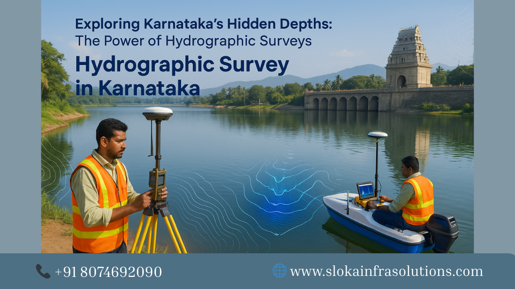
How it works:
Transducers emit sound toward each side of the towfish or hull, creating a wide swath perpendicular to the survey track.
The intensity of returned echoes is recorded as a function of time (i.e. range), giving a grayscale image: strong reflections (rocks, objects) show bright, and weak returns (soft mud) appear dark.
Mosaicking software stitches adjacent swaths into a seamless georeferenced image of the seabed.
Applications in Karnataka:
Coastal & Nearshore Mapping
– Along Karnataka’s coast—Karwar to Udupi and beyond—side-scan sonar is ideal for locating submerged hazards (rocks, reefs, discarded debris) near port approaches, submarine cables and pipelines.
– It complements bathymetry: one sees the topography, the other sees texture and anomalies.
– It helps fisheries and navigators avoid hazard zones where gear might snag.
Reservoir & Lake Beds
– In reservoirs or large tanks, side-scan reveals submerged structures like old bunds, submerged trees, pillars or debris.
– Changes after floods, dredging or sediment deposition can be mapped visually, giving insight into morphological changes.
– Habitat mapping: different substrates (rock, silt, sand) appear distinct in the mosaic — useful for aquatic ecology assessments.
In Karnataka, side-scan sonar is a vital partner to bathymetry in producing rich seafloor maps that guide dredging, navigation safety, habitat mapping, and engineering decisions.
Quality Standards & Best Practices:-
Adhering to rigorous standards ensures survey results are reliable and defensible. Key practices include:
Use of IHO (International Hydrographic Organization) guidelines on bathymetry, line planning, accuracy, and position references.
Calibration protocols: SVP, motion sensor alignment, latency checks.
Redundancy: overlapping lines, cross routes, repeat passes.
Formal QA/QC workflows: check point density, gap analysis, consistency, spatial error budgets.
Metadata and diligence in documenting all steps, corrections and datum transformations.
Even for inland or small-waterbody surveys, the same principles of precision, repeatability and documentation must apply — scaled to the context.
Making survey outputs actionable: Recommendations for Karnataka
The greatest value of hydrographic surveying lies in how survey deliverables are used. Some key strategies
Integrate with state waterbody registries and GIS: Link survey outputs to existing digital maps of lakes, tanks and rivers.
Monitor trends: With repeat surveys, analyze silt accumulation, shoreline change, and channel migration.
Generate priority lists: Use sediment thickness and bathymetry to rank reservoirs or tanks for desilting.
Visual tools for stakeholders: Provide simplified maps, cross-sections, mosaics and advisory overlays for engineers, fishers and planners.
Collaborative reuse: Make metadata and datum protocols available, so future surveyors can align with existing data.
Environmental application: Use bathymetry + side-scan + SBP to delineate habitat zones, map coral/mangrove boundaries, monitor sediment plumes.
Periodic updates: Coastal zones and reservoir inflows change; schedule periodic surveys (e.g. every 5 years) to keep data current.
Summary & Final Thoughts:-
Hydrographic Survey in Karnataka is no longer optional — it is essential infrastructure. The state’s mixture of coastline, riverine corridors, reservoirs and traditional tanks demands comprehensive mapping, subsurface insight, and continuous monitoring. From bathymetry and side-scan sonar to sub-bottom profilers, modern survey tools unlock a 3D understanding of Karnataka’s waters.
To meet evolving needs, the Top Hydrographic Survey and Surveyor in Karnataka must combine technological excellence with regional experience, transparent deliverables, and an ethic of stewardship toward water resources. When surveys are done well and integrated with planning systems, Karnataka can confidently manage dredging, habitat conservation, infrastructure expansion, and climate resilience — all rooted in the unseen depths of its rivers, seas, and reservoirs.