
Bathymetric Survey in Tripura
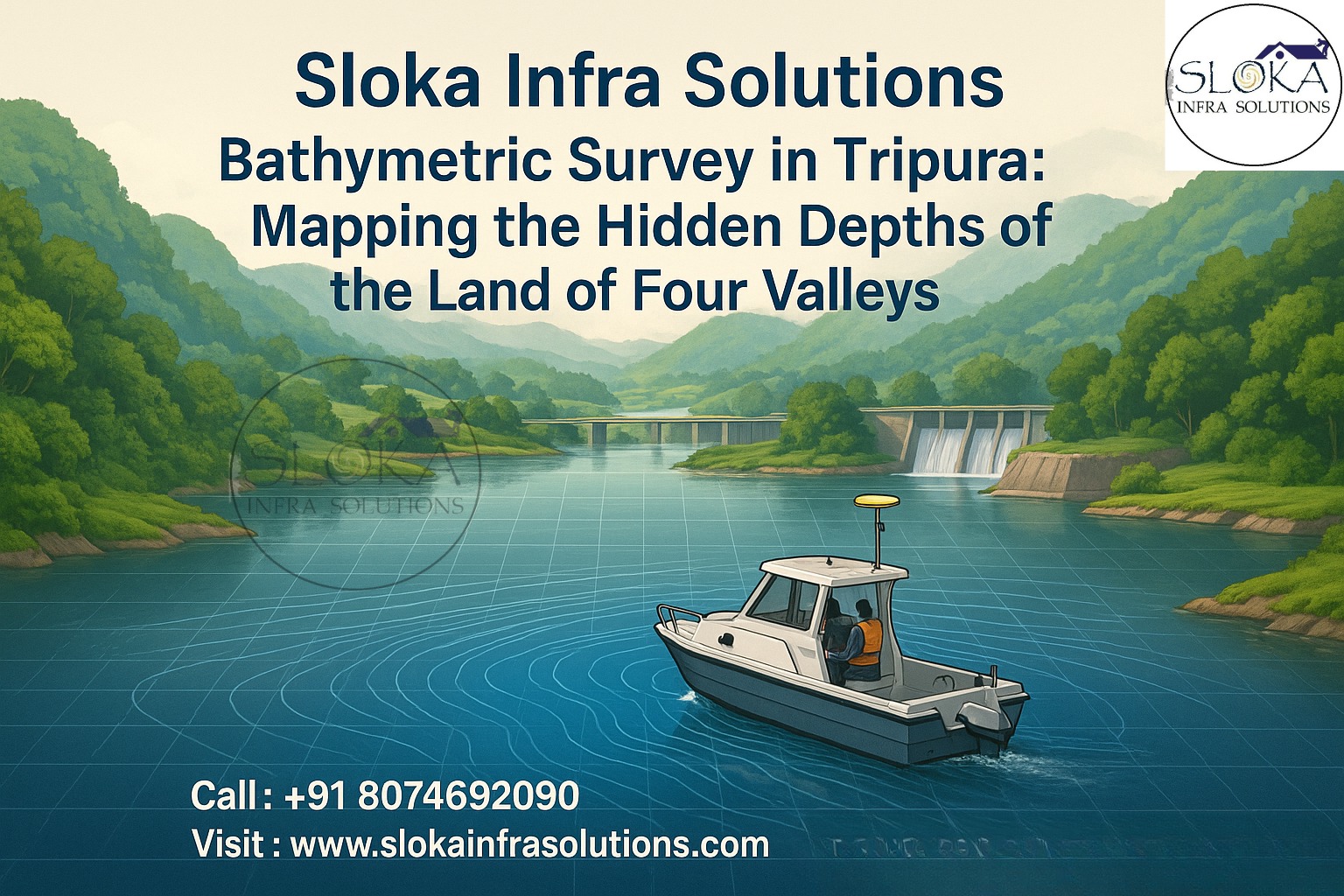
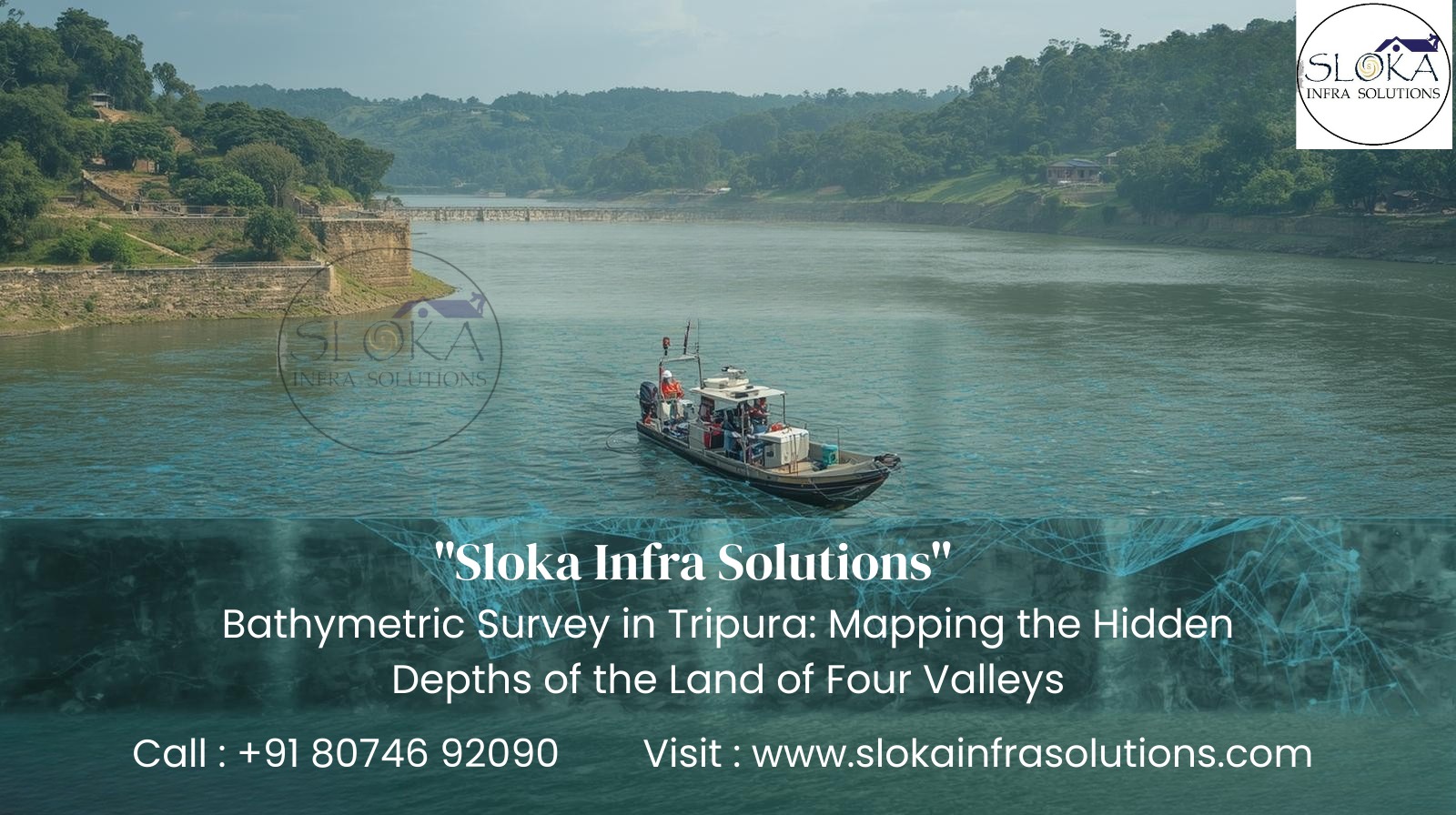
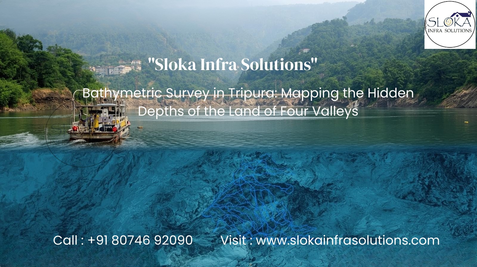
Bathymetric Survey in Tripura: Mapping the Hidden Depths of the Land of Four Valleys
Bathymetric Survey in Tripura opens a window into the unseen underwater landscapes of this picturesque northeastern state. Known as the “land of four valleys,” Tripura is interlaced with rivers, lakes, wetlands, and reservoirs that sustain its people, ecology, and economy. From the mighty Gomati River flowing through Udaipur to Dumbur Lake in the south, from Khowai and Manu rivers to the low-lying Haora and Juri systems, these waterbodies define life in Tripura. Hidden beneath the waters are layers of silt, unseen obstacles, forgotten river paths, and delicate ecosystems—mysteries that come to light only through a bathymetric survey.
In a region prone to heavy rainfall, seasonal floods, and rapid sedimentation from its hilly terrain, understanding the underwater topography has become essential. Bathymetric surveys here support flood forecasting, hydropower planning, fisheries development, wetland conservation, and navigation safety—turning hidden depths into actionable knowledge.

Top Bathymetric Survey and Surveyor in Tripura
Top Bathymetric Survey and Surveyor in Tripura operate in a dynamic landscape where rivers meander through valleys, reservoirs gather silt from steep catchments, and wetlands act as flood buffers. The task is as much about scientific precision as it is about adapting to local geography and community needs.
Surveyors employ advanced hydrographic instruments such as multibeam and single-beam echosounders, side scan sonar, sub bottom profilers, GNSS-based positioning systems, and sound velocity profilers. But technology alone is not enough—fieldwork requires collaboration with local fishermen, boat operators, and communities who live alongside these waterbodies.
Whether it’s monitoring siltation in Dumbur Reservoir, mapping flood-prone stretches of the Gomati and Haora, or studying biodiversity in Rudrasagar Lake (a Ramsar site), surveyors transform hidden underwater data into practical insights. In short, a Top Bathymetric Survey and Surveyor in Tripura bridge the gap between science, livelihood, and sustainable water management.
Why Bathymetry Matters for Tripura?
Tripura’s geography, dominated by forested hills and fertile valleys, makes water central to its socio-economic fabric. Yet, the state faces recurring challenges—floods, reservoir sedimentation, and wetland degradation—that demand accurate underwater mapping.
Key reasons why bathymetric surveys matter here:–
1.Flood Risk & Disaster Preparedness – Rivers like Manu, Juri, and Haora swell rapidly during the monsoon, threatening nearby towns. Bathymetric profiles feed hydraulic models that guide flood defenses and embankments.
2.Reservoir & Hydropower Safety – Dumbur Lake, created by the Gumti Hydroelectric Project, suffers from siltation that reduces its water-holding capacity. Surveys monitor storage loss and support dredging.
3.Wetland Conservation – Rudrasagar, Sepahijala lakes, and small oxbow wetlands are biodiversity hotspots. Bathymetric data helps sustain fish breeding grounds and aquatic ecosystems.
4.Fisheries & Livelihoods – Thousands rely on inland fisheries. Depth maps identify spawning zones, optimize fish stocking, and ensure sustainable yields.
5.Infrastructure Development – Bridges, intake wells, and irrigation systems across rivers like Khowai and Gomati require precise underwater data to avoid structural risks.

Tripura’s Waterbodies – A Surveyor’s Landscape
Each major waterbody in Tripura brings unique challenges and opportunities for bathymetric mapping:
Dumbur Lake – The largest reservoir, spanning over 40 sq km, created for hydropower and irrigation. Prone to siltation from surrounding hills, it demands regular surveys for capacity and safety.
Rudrasagar Lake – A Ramsar-listed wetland near Melaghar, vital for migratory birds, fisheries, and local communities. Underwater mapping ensures ecological preservation.
Gomati River – Known as the lifeline of Tripura, it supports irrigation, drinking water, and hydroower. Flood-prone stretches near Udaipur require careful monitoring.
Haora River – Flowing through Agartala, it is highly vulnerable to floods and encroachments. Surveys assist in urban flood planning.
Khowai & Manu Rivers – Important for agriculture and fisheries, these rivers experience seasonal siltation and shifting channels.
Wetlands & Beels – Sepahijala, Kamalasagar, and small floodplain wetlands provide crucial ecological services. Tailored surveys using shallow-draft boats or pole-mounted systems are needed here.
Planning a Bathymetric Survey in Tripura
Conducting a successful bathymetric survey in Tripura requires a systematic approach:
1.Defining Objectives – From flood control to hydropower, fishery mapping, or wetland conservation, the survey’s purpose determines resolution and coverage.
2.Desk Studies & Permissions – Reviewing satellite data, rainfall-runoff maps, and historic water-level records while securing permissions from Tripura’s Water Resources and Forest departments.
3.Choosing Platforms – Inflatable boats for rivers, catamarans for Dumbur Lake, and pole-mounted sensors for wetlands.
4.Instrumentation –
- Single-beam echo sounders for rivers
- Multibeam systems for reservoirs
- Side Scan Sonar for hazards and habitat imaging
- Sub Bottom Profilers for sediment layers
- GNSS for centimeter-level positioning
5.Survey Design – Tight transects in dynamic channels, wider spacing in stable reservoirs, and repeat surveys pre- and post-monsoon.
6.Execution – Collecting redundant data, engaging local navigators, and ensuring safety during monsoon conditions.
7.Deliverables – 3D depth models, contour maps, sedimentation reports, and hazard detection charts.
Equipment Primer
Single-Beam Echo Sounder – Effective for narrow rivers and transects.
Multibeam Echo Sounder – Produces detailed depth maps in large waterbodies.
Side Scan Sonar – Generates acoustic imagery of underwater textures and hazards.
Sub Bottom Profiler – Reveals sediment layers and buried structures.
GNSS Systems (RTK/PPK) – Provides accurate georeferencing.
Sound Velocity Profiler – Corrects sound speed variations for precision.
Sub Bottom Profilers
A Sub Bottom Profiler (SBP) is the geologist’s lens into underwater sediment layers. Unlike regular echosounders that measure only surface depth, SBPs use low-frequency acoustic pulses to penetrate beneath the waterbed, bouncing off buried layers. The result is a vertical profile showing sediment thickness, compact clay zones, buried channels, or hidden debris.
In Tripura, where hilly terrain drives high erosion, SBPs are crucial:
Dumbur Reservoir – Tracking annual silt accumulation and predicting long-term storage loss.
Rudrasagar Lake – Studying organic-rich deposits vital for ecological balance.
River Systems like Gomati & Manu – Detecting sediment wedges that alter floodplain hydraulics.
Wetlands – Assessing peat and organic sediment layers important for carbon studies.
Operationally, SBPs vary from chirp systems (ideal for high-resolution shallow studies) to boomers (for deeper penetration). Tripura’s heavy monsoon can cause gas bubbles and turbulence, so surveys are best conducted in stable, post-monsoon conditions.
Why does this matter? SBPs provide essential data for dredging plans, dam safety, and hydropower intakes. In a state where water security is directly tied to sediment management, SBPs deliver the subsurface insights needed for sustainable development.
Side Scan Sonar
Side Scan Sonar (SSS) acts as the storyteller of Tripura’s waterbodies, capturing acoustic images that reveal textures, objects, and hazards on the floor. Unlike depth-only systems, SSS highlights what lies across the surface—rocks, logs, aquatic vegetation, or man-made obstructions.
Applications in Tripura include:
Hazard Detection – In the Haora River near Agartala, SSS pinpoints submerged debris that worsens flood impacts.
Habitat Mapping – In Rudrasagar and Sepahijala lakes, SSS distinguishes sandy, muddy, and vegetated zones, critical for fisheries.
Reservoir Safety – In Dumbur Lake, SSS helps detect scour holes, erosion risks, or dislodged protective structures.
SSS works by sending fan-shaped beams sideways; hard objects reflect brightly, while soft sediments appear dark. Shadows in the sonar image reveal shape and size, allowing interpretation of hazards or habitats.
For Tripura’s rivers and lakes, where water levels often shift, hull-mounted units or compact tow setups work best for reliable surveys.Surveys are best timed during calm, post-monsoon waters. When combined with underwater cameras or sediment sampling, SSS data adds a near-photographic dimension to bathymetry.
Ultimately, SSS complements depth data and SBP profiles, giving planners a threefold perspective—depth, texture, and subsurface layers—needed for smarter decisions.

Applications of Bathymetric Surveys in Tripura
Flood Forecasting – Modeling river hydraulics for disaster preparedness.
Reservoir Management – Monitoring Dumbur’s siltation to safeguard power and irrigation.
Eco-Tourism – Enabling safe boating in Rudrasagar and Kamalasagar.
Fisheries Development – Mapping spawning habitats for community-based fisheries.
Infrastructure Planning – Supporting bridge, intake, and irrigation projects.
Conservation – Protecting wetlands, Ramsar sites, and aquatic biodiversity.
Challenges in Conducting Surveys
Monsoon Seasonality – Floods and turbulence distort morphology.
Accessibility – Remote wetlands and reservoirs lack easy boat launch points.
Vegetation & Debris – Floating mats interfere with sonar signals.
Community Engagement – Local collaboration is vital for access and trust.
Data Quality – Requires repeat surveys and validation with ground samples.
Conclusion:-
In conclusion, Bathymetric Survey in Tripura is more than a scientific exercise—it is the key to unlocking the state’s water potential while safeguarding against its risks. By working with a Top Bathymetric Survey and Surveyor in Tripura, policymakers, engineers, and communities gain vital insights into flood risks, reservoir safety, fishery sustainability, and ecological conservation.
From the lifeline Gomati to the Ramsar-listed Rudrasagar, and from flood-prone Haora to the vast Dumbur reservoir, bathymetric surveys turn unseen underwater truths into actionable intelligence. They are not just maps of depth but roadmaps for Tripura’s water-secure, resilient, and sustainable future.