
Bathymetric Survey in Bihar
Beneath the Surface: Exploring Bihar’s underwater terrain with Bathymetric Surveys
Bathymetric Survey in Bihar has emerged as a critical tool for understanding and managing the state’s extensive network of rivers, lakes, reservoirs, and wetlands. Nestled in India’s eastern plains, Bihar is crisscrossed by major rivers like the Ganges, Kosi, Gandak, and Son, along with countless tributaries and oxbow lakes. Mapping the depth and underwater topography of these water bodies not only supports flood risk management and irrigation planning, but also underpins navigation safety, habitat conservation, and infrastructure development across the region.
Top Bathymetric Survey and Surveyor in Bihar
Top Bathymetric Survey and Surveyor in Bihar play a pivotal role in delivering accurate depth charts and underwater terrain models that guide engineering projects, environmental assessments, and disaster mitigation efforts. With increasing demands on water resources in the Gangetic Plain—driven by agriculture, industry, and urbanization—authoritative bathymetric data help policymakers and stakeholders make informed decisions about dredging channels, reinforcing embankments, and allocating water during dry and monsoon seasons.

Understanding Bathymetric Survey: Principles and Processes
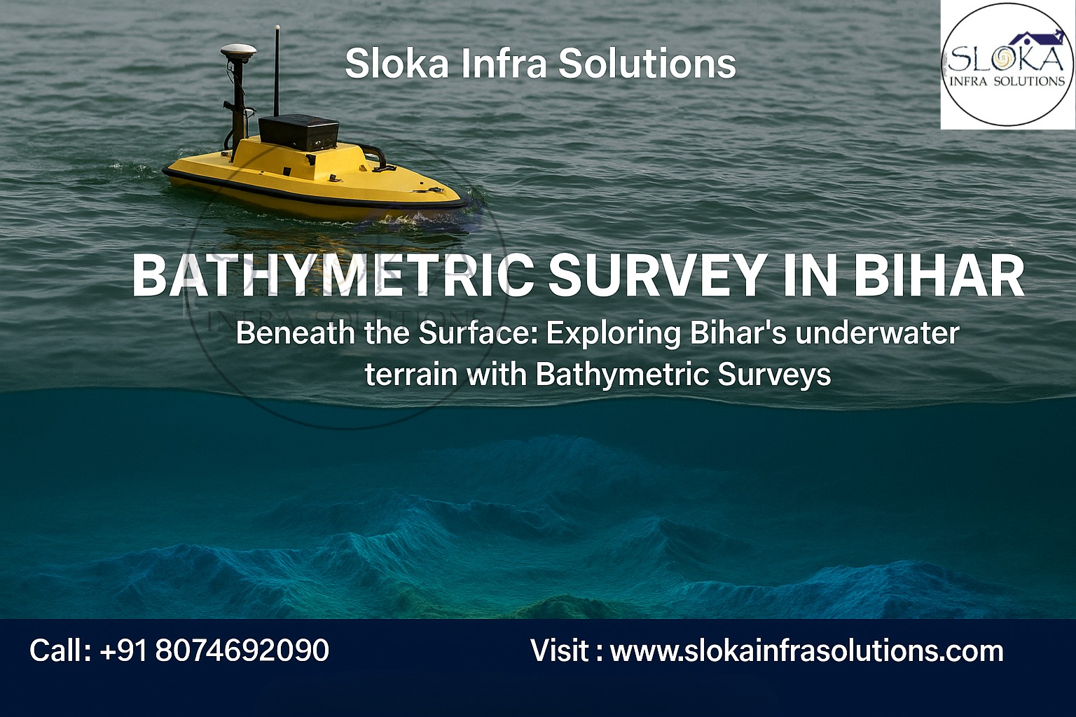
A bathymetric survey involves the systematic measurement of water depth and the mapping of underwater features using acoustic, optical, or satellite-based technologies. In Bihar’s context, where seasonal fluctuations in river discharge can dramatically alter channel morphology, bathymetric surveys are typically carried out during post-monsoon months when water levels have stabilized. Survey vessels equipped with multi-beam echo sounders navigate predefined transects, emitting acoustic pulses that bounce off the river or lake bed; the time taken for echoes to return is converted into precise depth readings.
Data collected in the field undergo rigorous processing to correct for factors such as vessel motion (pitch, roll, and heave), sound velocity variations in water, and GPS positioning errors. The resulting digital elevation models (DEMs) of the underwater terrain can be visualized as detailed contour maps, 3D point clouds, or shaded-relief images. These deliverables are invaluable for tasks ranging from identifying sediment deposition zones in the Gandak River to planning safe navigation channels in the Vikramshila Ghat area of the Ganges.
Importance of Bathymetric Surveys for Bihar’s Water Management:-
1.Flood Risk Mitigation: The plain of Bihar is highly susceptible to monsoon flooding, especially long the Kosi River, often dubbed the “Sorrow of Bihar.” Regular bathymetric updates reveal sandbar formation and channel shifts, enabling timely dredging and embankment reinforcement to reduce flood heights and inundation extents.
2.Irrigation and Agriculture: With nearly 75% of Bihar’s population engaged in farming, efficient water distribution through canals and reservoirs is vital. Bathymetric profiles of irrigation tanks like the Rajgir Tank inform storage capacity assessments and siltation rates, ensuring sustainable water supply for paddy, maize, and vegetable cultivation.
3.River Navigation and Inland Water Transport: The Government of India’s push for inland waterways, such as the National Waterway 1 on the Ganges, depends on reliable depth data. Portsmouth-style contour maps derived from bathymetric surveys facilitate the scheduling of vessels, preventing groundings and optimizing cargo loads.
4.Ecological Conservation: Wetlands such as Kanwar Lake and Valmiki Tiger Reserve’s floodplain habitats host diverse flora and fauna. By mapping benthic substrates and underwater features, bathymetry supports habitat mapping for fish breeding grounds, aquatic vegetation studies, and biodiversity monitoring.
5.Infrastructure Planning: Bridge piers, culverts, and embankments require foundational knowledge of sub-surface geology and river morphology. Bathymetric data integrated with sub-surface profiler outputs help civil engineers design stable foundations that withstand erosive forces during high flows.

Key Technologies in Bathymetric Survey:-
Multi-Beam Echo Sounders (MBES)
Multi-beam systems emit fan-shaped acoustic pulses that cover a wide swath of the river or lake bed. By measuring multiple returns simultaneously, MBES enables rapid acquisition of high-density depth data, capturing even subtle bedform variations. In Bihar’s broad floodplains, MBES surveys can map hundreds of meters of channel width in a single pass, revealing sand waves, ripples, and submerged vegetation structures.
Advantages of MBES in Bihar:
Speed and Coverage: Faster surveys over large water bodies like Ganges backwaters.
High Resolution: Detailed mapping of complex terrains, including sandbars in the Gandak.
Data Quality: Reduced data gaps, critical for flood modeling around Patna.
Single-Beam Echo Sounders (SBES)
Single-beam units remain popular for narrow channels and budget-sensitive projects. They record depth directly beneath the vessel, making them suitable for preliminary surveys or follow-up checks after major dredging activities.
Use Cases:
Dredging monitoring at Vikramshila Ghat.
Verification surveys in smaller reservoirs like Kabar Lake.

Global Navigation Satellite Systems (GNSS)
High-precision positioning via differential GPS (DGPS) or Real-Time Kinematics (RTK) ensures that each depth reading is georeferenced accurately. Given Bihar’s relatively flat terrain, RTK corrections transmitted from land-based base stations help maintain horizontal accuracy within a few centimeters.
Sub Surface Profiler Integration
Linking bathymetric data with subsurface imaging (e.g., sub-bottom profilers) adds a third dimension to surveys, revealing sediment layers and geological strata beneath the riverbed—critical for understanding long-term sediment dynamics in rivers like the Kosi.
Sub Bottom Profilers:-
Sub Bottom Profilers (SBPs) are indispensable tools in the geotechnical and environmental assessment of Bihar’s waterbody floors. These systems emit low-frequency acoustic pulses that penetrate into the sediment layers beneath the water body, reflecting off interfaces between materials of different densities. The returned signals create a vertical profile—or “slice”—revealing stratification in alluvial deposits.
In Bihar’s context, SBPs have been used to study sedimentation patterns in reservoirs like Rajgir Tank and Koshi Barrage to estimate siltation rates that affect storage capacity. For example, by comparing SBP profiles from surveys conducted five years apart, engineers can calculate the thickness of accumulated sediment, informing dredging schedules and reservoir life projections. SBPs also aid in identifying buried river channels, paleo-channels, and cut-and-fill structures formed during past floods, offering insights into the historical dynamics of rivers such as Son and Gandak.
From an archaeological standpoint, sub-bottom data can uncover ancient settlement mounds now submerged beneath oxbow lakes—information valuable for both heritage preservation and environmental planning. Ecologists leverage SBP outputs to locate finer substrates preferred by benthic macroinvertebrates, contributing to water quality assessments under India’s National Water Mission.
Technically, SBPs operate at frequencies between 1 and 10 kHz, balancing penetration depth (several meters of sediment) with vertical resolution (decimeter-scale). Modern systems often synchronize with positioning devices and bathymetric echo sounders, enabling integrated collection of water depth and subsurface profiles. In Bihar’s floodplain, this combined dataset supports comprehensive geohazard assessments for embankment design, ensuring that foundations rest on stable strata rather than unconsolidated silt layers.
Side Scan Sonar:-
Side Scan Sonar (SSS) complements bathymetric and sub-bottom surveys by providing detailed imagery of the waterbody floor’s textures and features. Mounted alongside survey vessels, SSS systems emit fan-shaped acoustic beams to port and starboard, capturing backscatter intensity data that can be processed into photographic-like mosaics. In Bihar’s rivers and reservoirs, side scan sonar has proven invaluable for detecting obstacles—such as submerged logs, boulders, and human-made debris—that pose navigational risks.
In the Ganges near Bhagalpur, SSS surveys have mapped extensive sand dunes and ripples, allowing dredging teams to target high-risk areas efficiently. Similarly, in man-made reservoirs like Anandpur Dam, side scan imagery aids in locating areas of erosion on embankment slopes and identifying animal burrows that could compromise dam integrity.
Ecologically, SSS reveals habitat structures favored by fish species and supports coral mapping in freshwater analogues. Researchers studying the Vikramshila wetlands use side scan data to distinguish between soft sediment zones and harder substrates where aquatic plants anchor. This aids in designing conservation measures to protect spawning grounds for mahseer and other indigenous fish.
Technically, modern side scan units operate at frequencies from 100 to 500 kHz, offering resolutions down to a few centimeters and swath widths of up to 100 meters per side. Data processing involves georeferencing the sonar slices using GNSS inputs and stitching them into continuous seabed maps. When combined with bathymetric point clouds and SBP profiles, SSS delivers a multi-layered portrait of Bihar’s underwater environment, empowering managers to make informed decisions about dredging, habitat restoration, and underwater infrastructure placement.
Methodology for Conducting a Bathymetric Survey in Bihar:-
1.Pre-Survey Planning: Define project objectives, select appropriate technology (MBES, SBES), delineate survey area, and schedule timing to coincide with stable water levels.
2.Permitting and Logistics: Secure permissions from state water authorities and local panchayats, arrange vessels and crew, and conduct site reconnaissance.
3.Field Data Acquisition: Calibrate equipment on a fixed benchmark, establish GNSS base station, and follow planned transects to collect depth, positioning, and sub-bottom/side scan data synchronously.
4.Data Processing: Apply motion corrections, sound velocity profiles, and tidal adjustments. Filter and clean point clouds, interpret sub-bottom reflections, and stitch side scan mosaics.
5.Quality Assurance: Cross-check depths against known benchmarks, perform statistical analysis of residuals, and conduct ground-truthing with sediment cores if necessary.
6.Deliverables Preparation: Generate contour maps (e.g., 0.5 m intervals), digital elevation models, cross-section profiles, and combined GIS datasets.
7.Reporting and Recommendations: Provide actionable insights such as dredging volumes, erosion hotspots, navigation channel alignments, and habitat mapping.

Case Studies from Bihar:-
Kosi River Realignment Project: After the devastating 2008 floods, bathymetric and sub-bottom surveys identified major sandbar relocations, guiding embankment repairs and channel realignment efforts that reduced flood penetration into agricultural lands by 40%
Rajgir Tank Restoration: A multi-year survey campaign combining MBES, SBP, and SSS data revealed a 1.2 m average sediment thickness in the reservoir, prompting targeted dredging that restored 25% of its original capacity.
Munger Ghat Navigation Enhancement: Side scan sonar mapping at the confluence of the Ganges and Koel rivers detected submerged sandbanks, enabling the Inland Waterways Authority of India to adjust barge routes and avoid seasonal groundings.
Challenges and Future Directions:-
While bathymetric surveying techniques have matured, Bihar’s dynamic floodplain environment presents ongoing challenges:
Rapid Sedimentation: High sediment loads demand frequent repeat surveys to keep navigation charts and reservoir capacity estimates current.
Seasonal Access: Monsoon swells and debris-laden waters limit survey windows to post-monsoon months, compressing fieldwork schedules.
Technical Constraints: Remote areas may lack reliable GNSS corrections, requiring portable base stations or post-processed kinematic methods.
Looking ahead, emerging technologies such as Unmanned Surface Vessels (USVs), drone-based LiDAR for shallow wetlands, and satellite-derived bathymetry could augment traditional survey methods. Integrating real-time monitoring sensors with cloud-based data platforms will enable continuous updates to underwater maps, empowering Bihar’s water managers to respond proactively to environmental changes.
Conclusion:
Bathymetric Survey in Bihar serves as the foundation for sustainable water resource management, flood risk mitigation, ecological conservation, and navigational safety. By leveraging advanced tools—multi-beam echo sounders, sub-bottom profilers, and side scan sonar—surveyors can deliver high-resolution, multi-dimensional representations of Bihar’s waterways. Collaborations between government agencies, research institutions, and private consultants ensure that Top Bathymetric Survey and Surveyor in Bihar meet the evolving demands of infrastructure planners, farmers, conservationists, and navigators alike.
As Bihar continues to grapple with the twin challenges of monsoon variability and growing water demands, robust bathymetric data will remain indispensable. Embracing innovations in survey technology and data integration will not only safeguard communities against floods but also unlock the full potential of Bihar’s rich aquatic landscapes for economic growth and environmental stewardship.