Best Hydrographic Survey Company in India
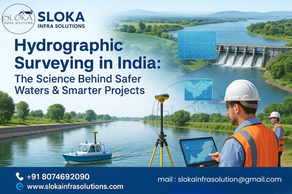
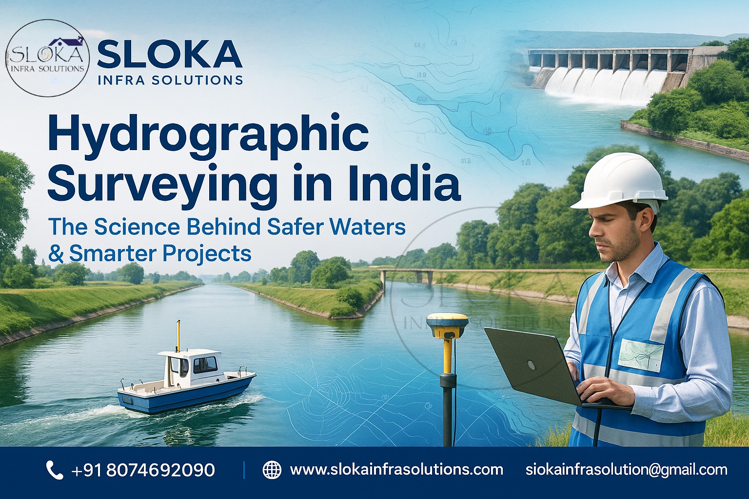
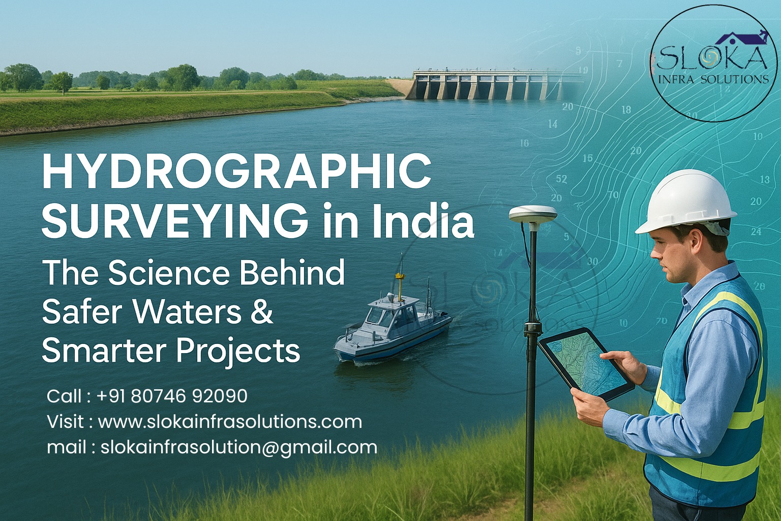
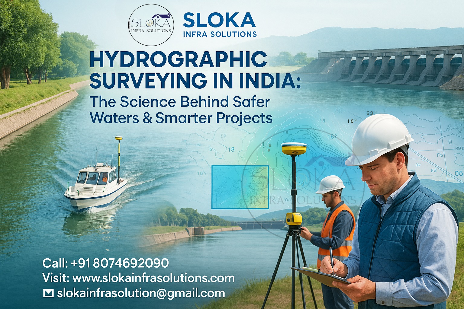
Hydrographic Surveying in India: The Science Behind Safer Waters & Smarter Projects
Call: 80746 92090
Best Hydrographic Survey Company in India:-
Best Hydrographic Survey Company in India — the phrase that opens this guide because when you’re mapping the unseen world beneath our rivers, coasts and oceans, you want confidence from the first sentence. This post breaks down what hydrographic surveying really is, why it matters across India’s unique waterways, the tools and techniques (including detailed, ~300-word sections on Sub-Bottom Profilers and Side Scan Sonar), the kinds of projects hydrographic teams handle, regulatory and institutional context, how to pick the right partner, and why having the Best Hydrographic Survey Company in India on your project can save money, time and risk.
Best Hydrographic Surveyor in India
Best Hydrographic Surveyor in India — that’s the person or team who understands tides, tech, and terrain. A great hydrographic surveyor turns raw acoustic returns and position data into trustworthy maps, navigational charts, seabed classifications and actionable engineering deliverables. In India, that expertise must stretch from tidal estuaries and mangrove-lined creeks to fast-flowing Himalayan rivers, backwater lagoons and the deep continental shelf of the Arabian Sea and Bay of Bengal. The Indian Naval Hydrographic Department is the nodal national agency, but many private and public firms now deliver specialized hydrographic and geophysical surveys for ports, dredging, offshore energy, coastal development, inland waterways and environmental monitoring.
Why hydrographic surveys matter in India?
India’s coastline is more than 7,500 km when you include islands, and the country relies on inland waterways, ports and coastal zones for commerce, food security, disaster resilience and energy. Hydrographic surveys are the science and practice of measuring depths, charting underwater hazards, mapping seabed materials, and describing shoreline changes—data that directly supports safe navigation, dredging plans, pipeline and cable routing, coastal construction, fisheries management, and environmental impact assessments. For projects that touch water, accurate bathymetry and seabed data are the non-negotiable foundation.
Types of hydrographic surveys :-
1.Bathymetric surveys: measure water depth and produce seabed topography (digital elevation models).
2.Geophysical surveys: map sub-surface sediments and geological features (using sub-bottom profilers, seismic tools).
3.Acoustic imaging: produce high-resolution images of the seabed (side-scan sonar).
4.Multibeam echosounding (MBES): capture dense, high-accuracy depth soundings across a swath.
5.Single beam echosounding: used for quick depth checks and legacy surveys
Tide and current studies, sediment sampling, and seabed classification: support construction and environmental studies.
Core equipment and what each delivers:-
- Multibeam Echosounder (MBES): a fan-shaped acoustic array that produces dense point-clouds of depth measurements — ideal for port approaches, channel design and high-precision dredging.
- Side Scan Sonar: creates imagery of seabed texture and objects (wrecks, debris, pipelines). (See dedicated section below.)
- Sub-Bottom Profiler: images sediment layers under the seabed to reveal buried objects and stratigraphy — essential for pipeline routes and geotechnical planning. (See dedicated section below.)
- GNSS/RTK and motion sensors: ensure positional accuracy and correct for vessel motion.
- Tide gauges and water level loggers: convert relative soundings into charted depths.
- ROVs/AUVs and towfish: are used where proximity to the seabed or visual verification is required.
A practical walk-through of a typical hydrographic campaign:-
- Project scoping: objective, deliverables (ENCs, DTM, SBP lines, mosaics), accuracy requirements, and regulatory needs.
- Mobilization: equipment calibration, sensor integration (GPS + IMU + echosounder), and survey line planning with appropriate overlap and tidal considerations.
- Field acquisition: run survey lines, perform sound velocity profiling, collect ancillary data (sediment grabs, video).
- Data processing: clean soundings, apply tides and vessel motion corrections, filter noise, generate bathymetric surfaces and charts.
- Geophysical processing: interpret sub-bottom profiles and create sediment stratigraphy maps.
- Reporting & delivery: charts, geo-referenced mosaics, GIS layers, final reports and recommendations.
Sub-Bottom Profilers :-
Sub-bottom profilers (SBPs) are acoustic instruments designed to “see” beneath the seabed and reveal shallow geological layers, buried pipelines, palaeochannels and other subsurface features. Unlike sonar systems that only measure the water depth, SBPs emit low- to mid-frequency acoustic pulses that penetrate the soft sediments and reflect off layers of differing acoustic impedance (a combination of density and sound speed). These reflections are captured by hydrophone arrays and processed to create 2D cross-sections (profiles) of sediment layers beneath the seabed.
There are several types of SBP systems — chirp (broadband), boomer, sparkers and pingers — each optimized for different penetration depths and resolution. Chirp systems, increasingly common in hydrographic work, use swept-frequency pulses that provide good resolution for shallow stratigraphy (useful for port and nearshore studies). Boomers and sparkers reach deeper, which is helpful for engineering studies and geological investigations in deeper water. In practice, surveyors tow the profiler along preplanned lines, producing a series of parallel profiles that are later interpreted together to map thicknesses of sediment layers, buried channels, and potential geohazards.
SBP data are vital for pipeline and cable route surveys (identifying burial depth and sediment stability), pre-dredge investigations (to avoid unexpected obstructions), and coastal geology studies where previous sedimentation history matters. Operators combine SBP interpretation with sediment cores or grab samples to validate acoustic signatures with real material. Modern workflows also geo-reference SBP profiles in GIS and integrate them with multibeam bathymetry and side-scan imagery to produce a multi-layered seabed model that supports risk assessments and engineering designs. Practical challenges include noise from the vessel, multiple reflections in layered sediments, and variable penetration in hard or compacted substrates — each of which experienced Best Hydrographic Surveyor in India teams know how to mitigate with proper survey setup and processing choices.
Side Scan Sonar :-
Side scan sonar (SSS) is the mapping artist of hydrography: it paints the seabed in acoustic grayscale so you can spot texture, objects and hazards quickly over large areas. Rather than returning a single depth measurement, side-scan systems emit fan-shaped acoustic pulses to either side of a towfish or hull-mounted transducer and record the strength of the acoustic return across the swath. The result is a high-resolution image (a “sonogram”) where strong returns indicate hard surfaces or objects and weak returns suggest softer sediments or shadowed areas.
SSS is ideal for search-and-recovery, wreck identification, cable and pipeline route surveys (for locating existing infrastructure), and pre-dredge reconnaissance where the presence of debris could jeopardize operations. Frequency selection matters: higher frequencies (~400–900 kHz) give very detailed images but shorter range—great for harbor work and close-in inspection; lower frequencies (~100–300 kHz) cover wider swaths suitable for deepwater reconnaissance but with lower resolution.
In a professional survey, side-scan data are collected with overlapping passes and precise positioning (RTK GNSS) so that individual swaths stitch into a geo-referenced mosaic. Analysts use intensity, shadow patterns and seafloor texture to classify seabed types and to flag anomalies for further investigation using MBES, ROVs, or targeted grabs. Side-scan is often paired with multibeam (for depth) and SBP (for sub-surface) so clients receive a 3D+image representation: where MBES gives the shape, SBP reveals what lies under, and side-scan shows what’s on top. That combination is why many projects looking for “the Best Hydrographic Survey Company in India” require integrated capability across these instruments.
Applications across Indian waterways — real-world project types
Port approaches & navigational charting: ensuring ships can enter and leave safely; frequent in India as ports expand.
Channel design and dredging: pre-, during-, and post-dredge surveys to quantify volumes and identify obstructions.
Offshore energy & cable routing: route surveys, geohazard assessments (using SBP), and seabed characterization.
Inland waterways & rivers: LiDAR-integration near shore, shallow-water bathymetry for navigability and flood-risk models.
Coastal resilience & shoreline change monitoring: track erosion, accretion and mangrove health.
Environmental baseline surveys: habitat mapping, sediment transport studies and fisheries management
Search & recovery / forensic hydrography: SSS and ROV verification for objects and wrecks.
Why integrated teams win (technology + domain knowledge)?
A single instrument won’t cut it for complex Indian projects. The most effective surveys combine MBES, SSS, SBP and in-situ sampling with strong geospatial processing workflows. Integration means synchronized GNSS/IMU, synchronized time-stamped data, and workflows that turn millions of acoustic returns into actionable, validated products. The Best Hydrographic Surveyor in India is not just about equipment — it’s about the software, QC protocols, local tidal and sediment knowledge, and experience interpreting ambiguous acoustic signals in India’s varied contexts (tidal flats, monsoon pulse rivers, deltaic zones).
Data quality, accuracy classes and client deliverables
Hydrographic outputs are tailored to accuracy classes (often aligned to IHO standards). Deliverables typically include: cleaned XYZ soundings, digital terrain models (DTMs), ENC-ready charts or chartlets, side-scan mosaics, sub-bottom profile images, sediment logs and an interpretive report. Intelligent clients request metadata and quality assessments so they can judge the results’ fitness for purpose — for example, a navigational chart for a commercial channel requires much higher vertical and horizontal accuracy than a regional environmental study.
Navigating India’s special challenges:-
Monsoon variability: heavy seasonal discharge and sediment loads alter seabed forms rapidly — scheduling and repeat surveys must factor this.
Shallow, turbid waters: optical systems fail; acoustic strategies (higher frequency multibeam, denser survey lines) plus careful sound velocity profiling are essential.
Complex tidal regimes: accurate tidal modeling and local benchmarks are critical for reliable charting.
Regulatory coordination: port authorities, the Indian Navy’s hydrographic office, and environmental agencies often need to be looped in for approvals and data sharing.
Choosing the right hydrographic partner — checklist
Technical capability: MBES, SSS, SBP, RTK GNSS, SV profiler, IMU — not just ownership but expertise in operation.
Experience in similar Indian environments: rivers, backwaters, estuaries and coastal zones
Data processing workflow & QC standards: do they deliver raw data, processed files and metadata?
- Regulatory familiarity: can they prepare chart products aligned with INHD requirements?
- Local assets and logistics: vessels, harbor permissions, and seasonal planning.
- Safety and environmental protocols: marine mammal mitigation, waste handling, and spill contingency planning.
- Delivery format and support: GIS-ready layers, CAD exports, and expert interpretation.
Cost drivers & timeline expectations:-
Costs depend on survey area, water depth, instrument mix, required accuracy and mobilization needs. Multibeam surveys cost more per day than single-beam but provide far richer datasets; adding SSS and SBP raises total but sharply reduces risk for subsea engineering. Weather windows (monsoon) and tidal planning also affect timeline — but the right team will optimize lines and vessel speed to deliver within the client’s constraints.
Conclusion:-
Hydrographic surveying in India is a multidisciplinary science blending marine acoustics, precision positioning, and geophysics. Whether it’s navigation charts, dredging, pipeline routing, or environmental studies, choosing the Best Hydrographic Survey Company in India ensures accurate, reliable, and cost-effective data. And when it comes to personnel, the Best Hydrographic Surveyor in India guarantees technical mastery with deep local knowledge, ensuring safer, smarter, and future-ready projects.