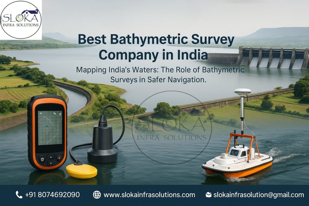
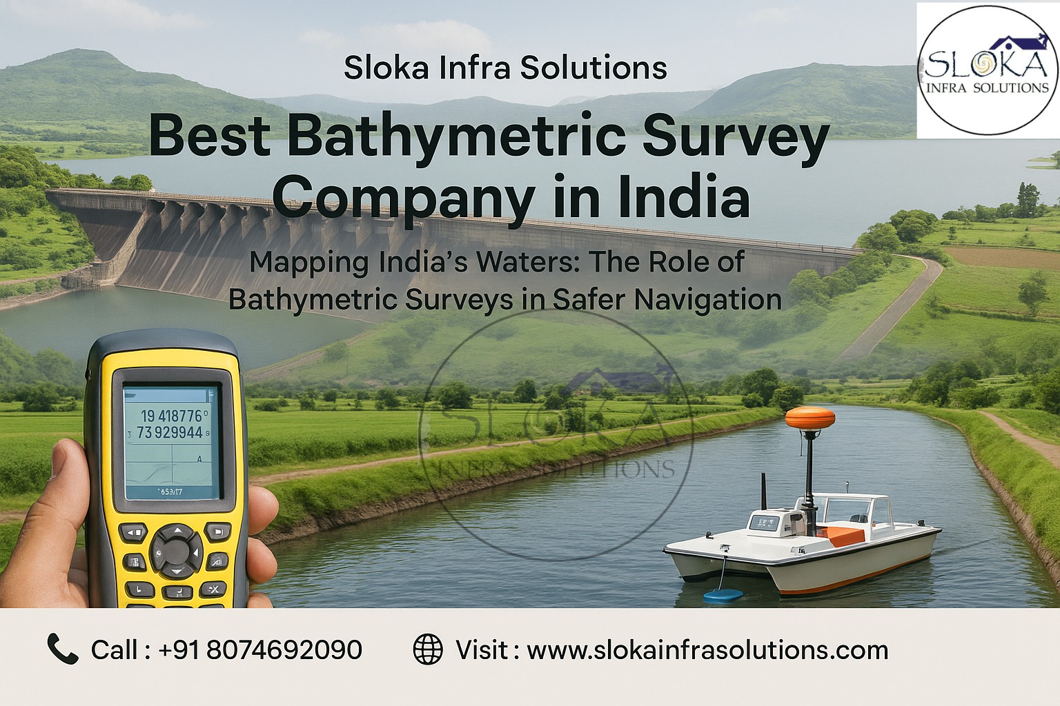
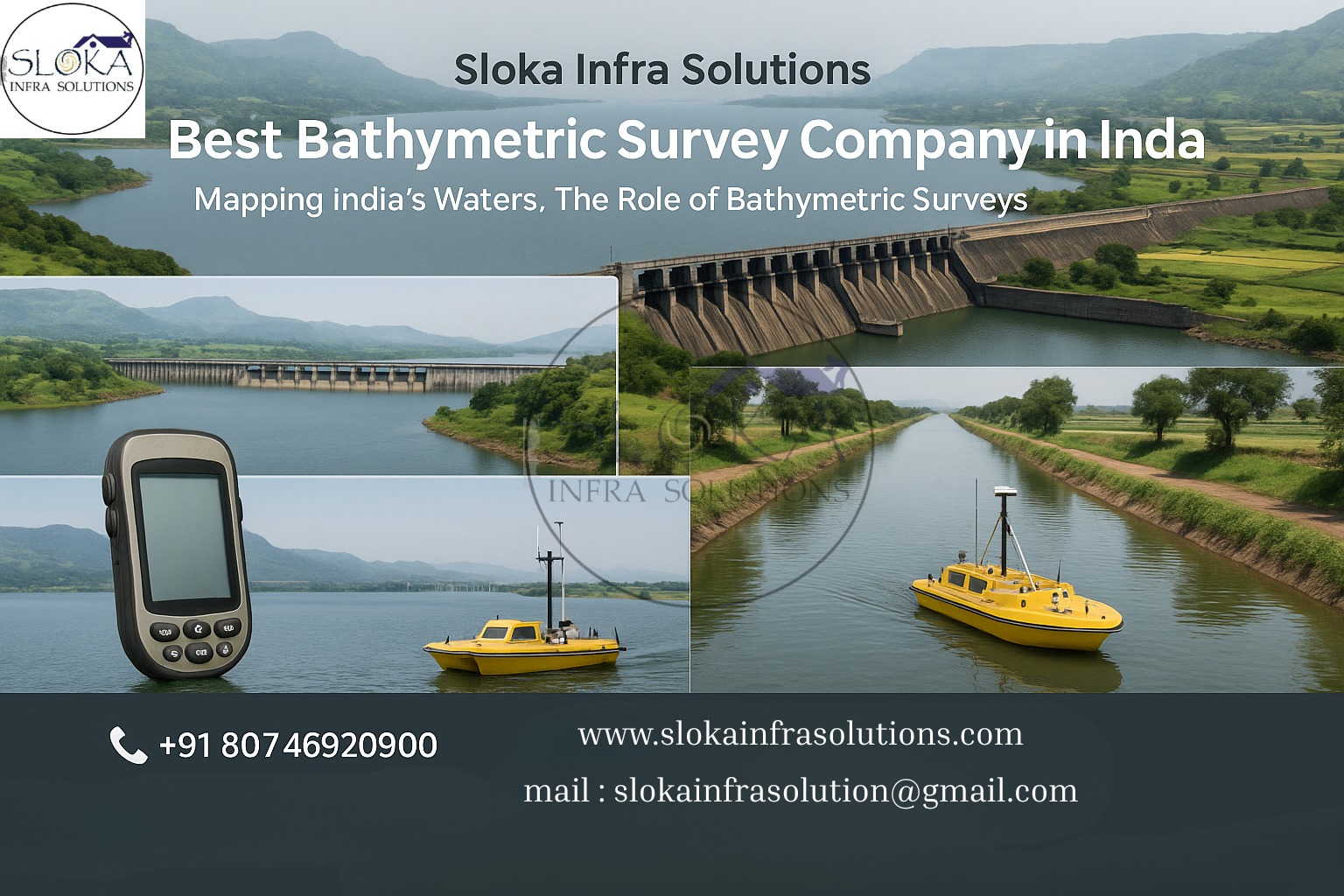
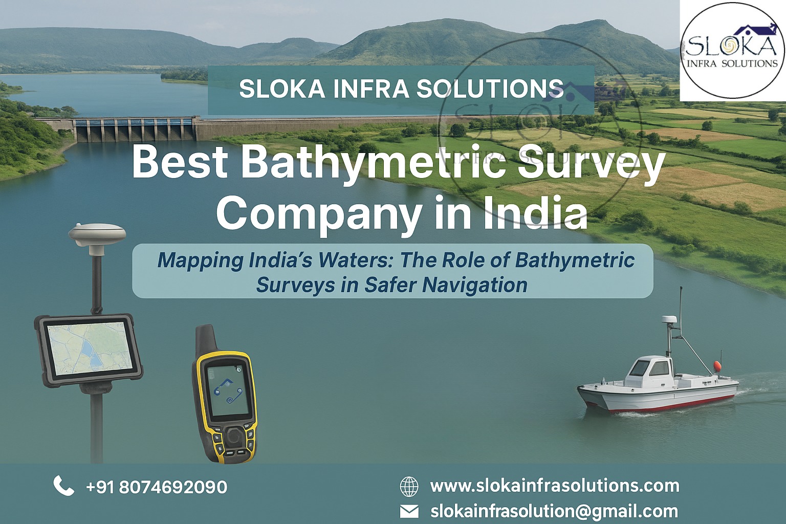
Best Bathymetric Survey Company in India
Blog Title :- Mapping India’s Waters: The Role of Bathymetric Surveys in Safer Navigation
The Best Bathymetric Survey Company in India plays a crucial role in unlocking the mysteries beneath rivers, lakes, reservoirs, and coastal waters. Bathymetric surveys are not just about measuring depths; they are about shaping the very foundation of infrastructure, navigation, flood control, and environmental planning. With India’s geography stretching from the snow-fed Ganga and Brahmaputra in the north to the deltas of Godavari and Krishna in the south, and from the lagoons of Kerala to the 11,000+ km recalculated coastline, the need for precise underwater mapping has never been greater. Bathymetry transforms the invisible underwater terrain into actionable maps, supporting engineers, policymakers, and maritime operators with reliable data to make critical decisions.
Best Bathymetric Surveyor in India
The Best Bathymetric Surveyor in India brings together cutting-edge technology, field expertise, and an intuitive understanding of India’s dynamic water systems. A surveyor’s role extends beyond handling sonar equipment—they must interpret seasonal river shifts, monsoon-driven siltation, and coastal erosion patterns. Whether it is monitoring sedimentation in reservoirs, ensuring safe navigation for ships at ports like Mumbai or Paradip, or safeguarding underwater infrastructure such as oil pipelines and cables, a skilled bathymetric surveyor ensures every depth point is reliable. They merge scientific rigor with local knowledge, providing insights that go far deeper than numbers on a chart.
Why Bathymetric Surveys Are Vital in India
India is a water-rich yet highly dynamic nation:
Coastlines: Stretching over 11,000 km, they host ports, fisheries, naval bases, and tourist hubs. Accurate mapping is essential to maintain channels and plan expansions.
Rivers & Inland Waterways: With 111 declared National Waterways covering over 20,000 km, the potential for cargo movement is massive. But these rivers constantly change due to floods, sediment loads, and shifting channels—demanding regular surveys.
Reservoirs & Lakes: India’s reservoirs store lifelines of irrigation and drinking water, but siltation reduces their capacity over time. Bathymetric surveys identify sediment buildup, enabling timely desiltation and water management.
Deltas & Estuaries: From the Sundarbans in the east to the Kutch creeks in the west, these zones are ecologically sensitive yet economically crucial. Surveys help balance development with conservation.
Without accurate bathymetric data, projects risk delays, accidents, and unsustainable outcomes.
Technologies Driving Modern Bathymetric Surveys
Bathymetric surveying has advanced far beyond simple echo sounding. Today, a blend of acoustic, positioning, and imaging technologies ensures data quality:
Single Beam Echo Sounder (SBES): Captures depths along a single line—cost-effective for reconnaissance.
Multibeam Echo Sounder (MBES): Produces wide swaths of high-resolution depth grids, now the gold standard for ports and navigation channels.
GNSS & IMUs: Correct for heave, roll, and pitch, ensuring positional accuracy even in rough waters.
Sound Velocity Profilers (SVP): Correct acoustic refraction in estuarine and coastal environments.
Autonomous Survey Vessels (USVs): Increasingly used for shallow or hazardous zones where crewed boats are risky.
Together, these technologies build digital terrain models, seabed classifications, hazard inventories, and change-detection datasets.
Sub Bottom Profilers
Sub Bottom Profilers (SBPs) act like an underwater X-ray, looking beneath the seabed to reveal hidden layers. Unlike echo sounders that show just depth, SBPs send low-frequency pulses that penetrate the sediment and reflect from subsurface horizons. These reflections expose buried channels, sediment thickness, bedrock layers, or even man-made structures.
In India, SBPs are invaluable in several contexts:
Reservoirs: Sediment buildup in dams such as Bhakra Nangal or Nagarjuna Sagar reduces storage capacity. SBPs help measure deposition thickness and guide desiltation.
Rivers & Deltas: In the Ganga-Brahmaputra or Godavari systems, SBPs map abandoned channels and scour zones critical for flood planning and dredging.
Coastal Infrastructure: Offshore wind farms, oil pipelines, and bridge foundations rely on SBP profiles to avoid unstable layers or voids.
Archaeology: Paleochannels and buried landscapes hold evidence of ancient civilizations, especially near shifting riverbanks and coastlines.
Types of SBPs used include:
Chirp Systems: High-resolution, shallow penetration—great for soft sediments.
Boomers: Lower frequency, deeper penetration—used for harder strata.
Pingers: Compact systems for rivers and small reservoirs.
Interpreting SBP data requires precision—sharp reflectors may indicate compact sand layers, while chaotic patterns suggest debris or gas pockets. For India’s monsoon-driven rivers and deltaic environments, SBPs are indispensable tools for sustainable water resource and infrastructure management.
Side Scan Sonar
Side Scan Sonar (SSS) offers a bird’s-eye view of the seabed by capturing acoustic backscatter images. Instead of measuring depth directly, it produces photo-like mosaics that reveal textures, objects, and anomalies across the seafloor.
Applications across India include:
Ports & Navigation Safety: Detecting wrecks, abandoned anchors, or debris that threaten ships in harbors like Kandla or Vizag.
Pipeline & Cable Routes: Ensuring safe installation and monitoring integrity along offshore corridors.
Post-Cyclone Assessments: Mapping obstructions after storms in the Bay of Bengal or Arabian Sea.
Fisheries & Habitats: Identifying benthic habitats in Kerala backwaters or Odisha estuaries.
Archaeology: Documenting wreck sites or submerged settlements along historically active coasts.
SSS operates across frequencies from ~100 kHz (for wider coverage) to >1 MHz (for fine detail). In India, surveys often combine SSS with MBES: MBES delivers shape, while SSS adds texture and context. This combination helps prevent costly dredging mishaps or damage to critical underwater assets.
Challenges of Bathymetric Surveys in India
India’s diverse geography presents unique challenges:
Monsoon Dynamics: Rivers like Brahmaputra can change course within a season.
High Sedimentation: Deltas experience rapid deposition, demanding frequent surveys.
Shallow & Obstacle-Rich Waters: Backwaters and creeks are filled with fishing gear, debris, and vegetation.
Permission & Security: Surveys near naval bases or oil zones require strict government clearances.
Despite these hurdles, the best survey companies adapt with robust planning, agile mobilization, and advanced equipment.
Deliverables You Can Expect
A professional bathymetric survey in India should provide:
Digital Terrain Models (DTMs): Tide-corrected grids for design and dredging.
Seabed Classification Maps: Differentiating sand, silt, or rock.
Side Scan Mosaics: Visual records of seabed features.
Sub Bottom Profiles: Cross-sections of sediment layers.
Hazard Inventories: Catalogues of wrecks, pipelines, and obstructions.
Change Detection Reports: Before-after comparisons for dredging or erosion.
These outputs feed into infrastructure planning, navigation charts, and environmental assessments.
Choosing the Right Partner
When selecting the Best Bathymetric Survey Company in India or the Best Bathymetric Surveyor in India, decision-makers should look beyond marketing claims and examine:
Project Experience: Similar environments—deltaic rivers, ports, or reservoirs.
Equipment List: Updated MBES, SBP, SSS, GNSS systems.
Quality Culture: Demonstrated compliance with international accuracy standards.
Data Stewardship: Secure, reproducible, and interoperable deliverables.
Local Expertise: Teams familiar with seasonal challenges and permissions.
Future of Bathymetric Surveys in India
The field is evolving rapidly:
Autonomous Platforms: USVs and AUVs will handle hazardous or shallow zones.
Machine Learning: Automated seabed classification from sonar backscatter.
Real-Time Processing: Immediate deliverables for emergency response.
Integrated Monitoring: Linking bathymetry with current profilers and satellite data.
With climate change increasing flood and cyclone risks, these innovations will be critical to India’s resilience.
Conclusion
Bathymetric surveys are the invisible backbone of India’s maritime safety, inland waterway development, reservoir management, and coastal infrastructure. By blending cutting-edge technologies like multibeam sonar, side scan imaging, and sub bottom profiling, surveyors provide data that saves costs, prevents disasters, and ensures sustainability. The Best Bathymetric Survey Company in India and the Best Bathymetric Surveyor in India are not just service providers; they are essential partners in India’s water future. In a country defined by its rivers and seas, accurate underwater maps mean smarter projects, safer navigation, and stronger resilience for generations to come.