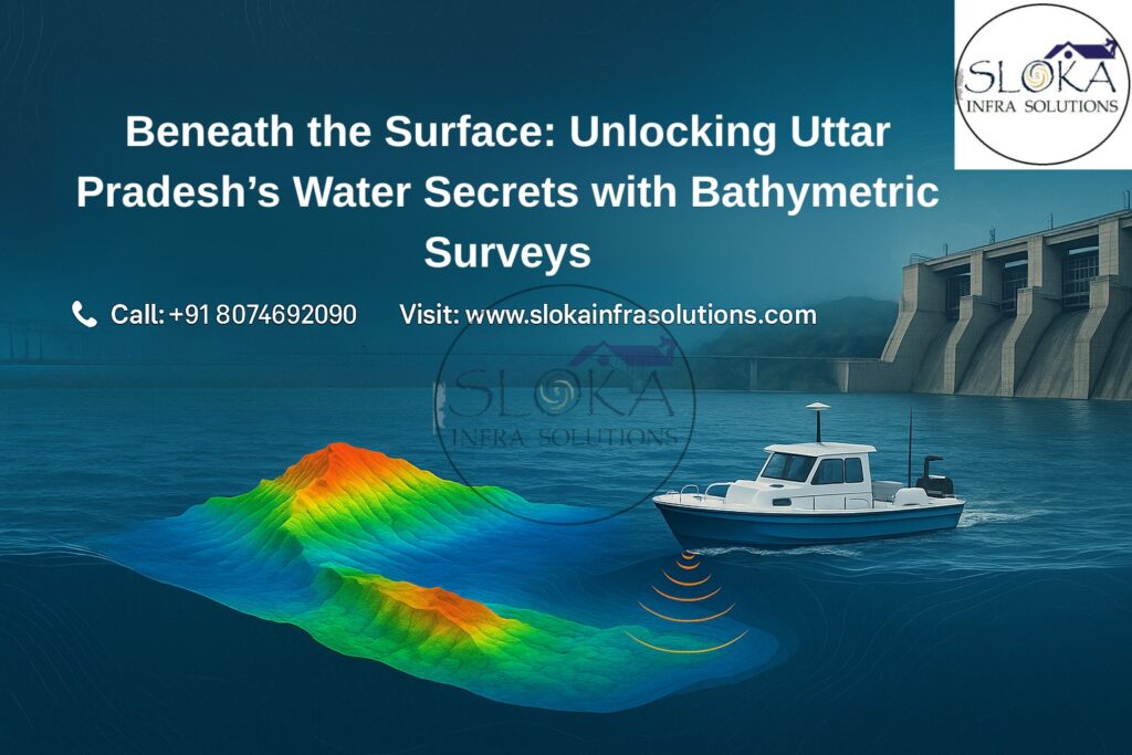
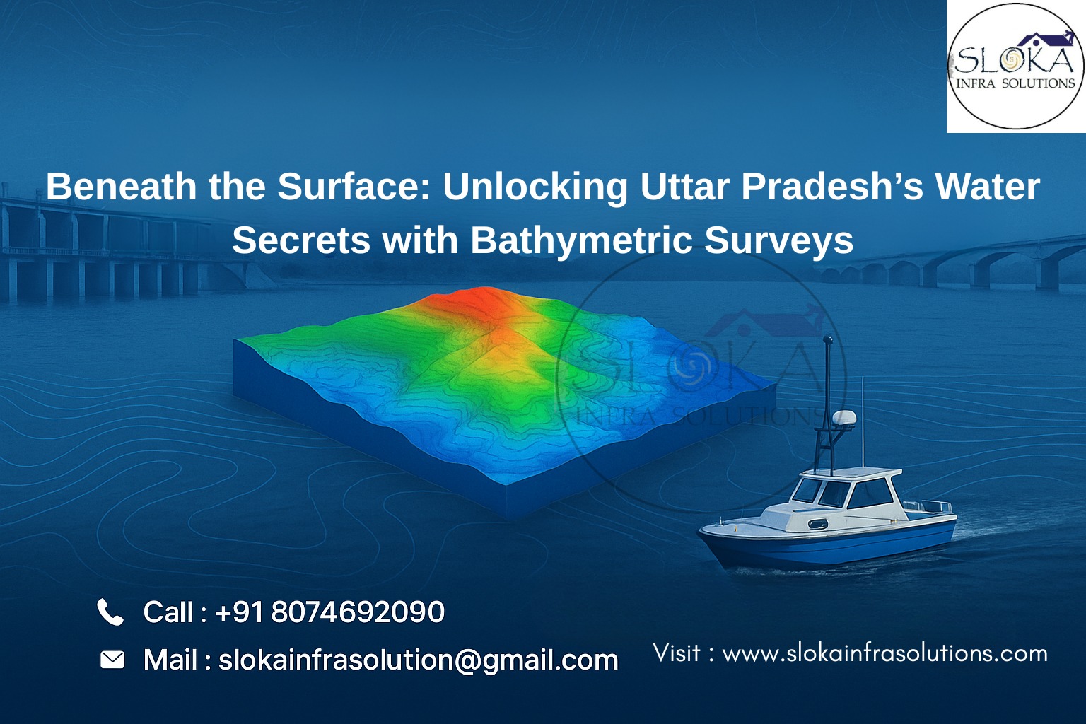
Beneath the Surface: Unlocking Uttar Pradesh’s Water Secrets with Bathymetric Surveys
Bathymetric Survey in Uttar Pradesh
Bathymetric Survey in Uttar Pradesh is a crucial tool for understanding and managing the intricate underwater landscapes that lie beneath the state’s diverse water bodies. From the mighty Ganga and Yamuna rivers to the vast expanse of lakes such as Ramgarh Tal and reservoirs like Rihand Dam, bathymetric surveys empower engineers, planners, and environmentalists to make data-driven decisions for flood control, infrastructure development, and aquatic ecosystem preservation.
Top Bathymetric Survey and Surveyor in Uttar Pradesh
Top Bathymetric Survey and Surveyor in Uttar Pradesh are redefining the way we understand underwater terrains by delivering accurate, real-time data using cutting-edge sonar, GPS-integrated systems, and unmanned survey vessels. Their expertise is instrumental in tackling issues such as sediment accumulation in dams, erosion in riverbanks, and safe navigation planning for inland waterways.
Understanding Bathymetry: More Than Just Measuring Depth
Bathymetry involves the measurement of water body depths and the mapping of submerged landscapes such as riverbeds, lake floors, and reservoir basins. It is the aquatic counterpart of topography and involves generating detailed digital terrain models (DTMs) using echo-sounding equipment, LiDAR, and GPS technologies. The outputs—depth contours, isobaths, and 3D bathymetric models—form the basis for decisions in civil engineering, disaster management, and ecological studies.
Why Uttar Pradesh Needs Bathymetric Surveys
Uttar Pradesh, home to the Ganges basin and a network of tributaries, canals, and reservoirs, faces several hydrological challenges and opportunities. The vast surface water resources are central to agriculture, urban water supply, religious tourism, and hydro-engineering projects. Here’s why bathymetric surveys are indispensable in UP:
1. River Channel Management and Flood Mitigation
The Ganga, Yamuna, Ghaghra, Gomti, Rapti, and Saryu rivers frequently swell during the monsoons, leading to destructive floods in districts like Gorakhpur, Ballia, and Barabanki. Bathymetric data helps:
Create floodplain models
Design embankments and flood barriers
Monitor channel migration and erosion hotspots
2. Dam and Reservoir Sediment Monitoring
Reservoirs such as Rihand, Matatila, and Govind Ballabh Pant Sagar face significant siltation, reducing their capacity and efficiency. Bathymetric surveys:
Assess sediment volume and distribution
Guide dredging operations
Help extend the lifespan of reservoirs
3. Urban Lake Rejuvenation
Lakes like Ramgarh Tal (Gorakhpur), Laxman Tal (Jhansi), and Sandi Bird Sanctuary (Hardoi) are vital for biodiversity, tourism, and groundwater recharge. Bathymetric maps:
Support silt removal and lakebed restoration
Enhance water quality and aquatic biodiversity
Assist in stormwater and sewage planning
4. Inland Navigation Development
Uttar Pradesh lies along National Waterway-1 (Haldia to Varanasi) and other planned routes for freight and tourism. Accurate bathymetric data:
Ensures safe depth for vessels
Identifies underwater obstacles
Supports the development and placement of docks and port terminals.
5. Water Infrastructure Planning
From canals and pump houses to intake wells and wastewater lagoons, bathymetric surveys are fundamental for:
Designing intake points and flow control systems
Preventing sediment blockages
Modeling hydraulic structures and underwater assets
Key Water Bodies Where Bathymetric Surveys Are Essential in Uttar Pradesh
Ganga River: Main artery of religious, ecological, and economic significance.
Yamuna River: A vital river flowing through industrial hubs like Agra and Prayagraj.
Gomti River: Central to Lucknow’s landscape; requires regular flood and channel monitoring.
Rapti & Ghaghra Rivers: Prone to flash floods and riverbank erosion in eastern UP.
Ramgarh Tal: Major urban water body supporting tourism and flood drainage in Gorakhpur.
Rihand Reservoir: Largest reservoir in UP, key for power and irrigation.
Sandi and Suraha Tal Lakes: Ecologically sensitive wetland zones.
Technology & Techniques Used by Top Bathymetric Survey and Surveyor in Uttar Pradesh
1. Single Beam Echo Sounders (SBES)
Simple and effective for narrow, shallow areas—used in lakes and canals for discrete depth profiles.
2. Multi-Beam Echo Sounders (MBES)
Generate wide swath, high-resolution 3D imagery of underwater topography. Ideal for deep reservoirs and wide rivers like Ganga and Yamuna.
3. Acoustic Doppler Current Profilers (ADCP)
Measure water current speed and track sediment movement in swiftly flowing rivers like the Rapti and Ghaghra.
4. Real-Time Kinematic GPS (RTK-GPS)
Provides high-precision horizontal and vertical measurements, crucial for designing infrastructure where accurate elevation data is vital.
5. Unmanned Surface Vehicles (USVs)
Remote or autonomously operated boats equipped with sonar and GPS, used in hazardous or inaccessible waters.
6. Sub-bottom Profilers
Used for studying sediment layers beneath water bodies, aiding long-term dredging and foundation planning.
Step-by-Step Methodology of Bathymetric Survey
1. Planning
Define the purpose—flood modeling, sediment estimation, lake restoration—and choose the waterbody accordingly.
2. Survey Design
Design a grid of survey lines—both parallel and cross-line—for full coverage and redundancy.
3. Equipment Deployment
Deploy sonar, GPS, and motion sensors. Conduct pre-survey calibration checks.
4. Data Collection
Navigate through pre-defined lines using boats or USVs. Continuously monitor sonar return quality and positioning.
5. Post-Processing
Adjust the collected data to account for variations in water temperature, sound speed, and the movement of the survey vessel.Filter noise and align with geodetic coordinates.
6. Deliverables
- 3D DTMs
- Contour maps
- Sedimentation profiles
- Volume calculations
- GeoTIFF and CAD-compatible outputs
Challenges in Conducting Bathymetric Surveys in Uttar Pradesh
Seasonal Variations in Water Levels: Significant differences between conditions before and after the monsoon impact data consistency.
Sediment Load: Rivers like the Ganga carry heavy silt loads, reducing sonar accuracy.
Accessibility: Remote wetlands and heavily vegetated zones require drone or USV deployment.
Permissions: Surveys across river borders or forest areas need multi-departmental clearances.
Use Cases and Real-World Applications
1. Varanasi Riverfront Development
Bathymetric survey guided the placement of new ghats and docking points, ensuring vessel safety and sediment stability.
2. Gorakhpur Ramgarh Tal Rejuvenation
Contour mapping enabled sediment removal strategies, increasing water depth and reviving tourism potential.
3. Rihand Reservoir Sediment Analysis
MBES and sub-bottom profiling quantified silt levels, optimizing hydroelectric turbine intake design.
4. Flood Modeling in Barabanki
ADCP surveys informed 2D flood modeling to mitigate damage in low-lying districts.
Innovations and Emerging Trends in Bathymetric Surveying
- LiDAR Bathymetry: Integration with airborne laser scanning to cover riverbanks and shallow regions.
- UAV-Sonar Hybrid Surveys: Combining drones with floating sonar devices for inaccessible wetlands.
- AI-Powered Sediment Classification: Using machine learning to automate silt vs. rock layer differentiation.
- Cloud-Based Survey Dashboards: Real-time data sharing and stakeholder collaboration platforms.
Why Choose Top Bathymetric Survey and Surveyor in Uttar Pradesh?
- Statewide Coverage: From Varanasi to Gorakhpur, we understand UP’s hydrology.
- Cutting-Edge Tools:Integrated multi-sensor systems designed for both shallow and deep-water environments.
- Proven Track Record: Successful delivery for dam inspections, riverfront projects, and flood control.
- Regulatory Expertise: Adherence to CWC, WRD, and environmental norms.
- Custom Deliverables: GIS-ready formats for engineers, planners, and administrators.
Benefits of Bathymetric Survey in Uttar Pradesh
- Enables better planning of hydraulic and irrigation infrastructure
- Supports long-term lake and wetland restoration programs
- Helps prevent flood damage and enhances early warning systems
- Aids sustainable river navigation and harbor planning
- Informs environmental and biodiversity conservation projects
- Improves safety for tourism and boating zones
- Assists in climate resilience strategies and sediment control
Conclusion
Bathymetric Survey in Uttar Pradesh is not just a scientific technique—it is a strategic enabler for managing the state’s vast and vital water resources. Whether it’s restoring a silted lake in Gorakhpur, preparing for floods in the Terai belt, or designing intake structures in the Yamuna basin, bathymetric data transforms how we engage with the water beneath. Partnering with the Top Bathymetric Survey and Surveyor in Uttar Pradesh ensures precision, reliability, and insights that go far beyond just depth measurements. In an era where water is at the heart of environmental resilience and economic growth, mapping what lies beneath is the first step toward shaping a sustainable future.