Bathymetric Survey in Rajasthan
Call: 80746 92090
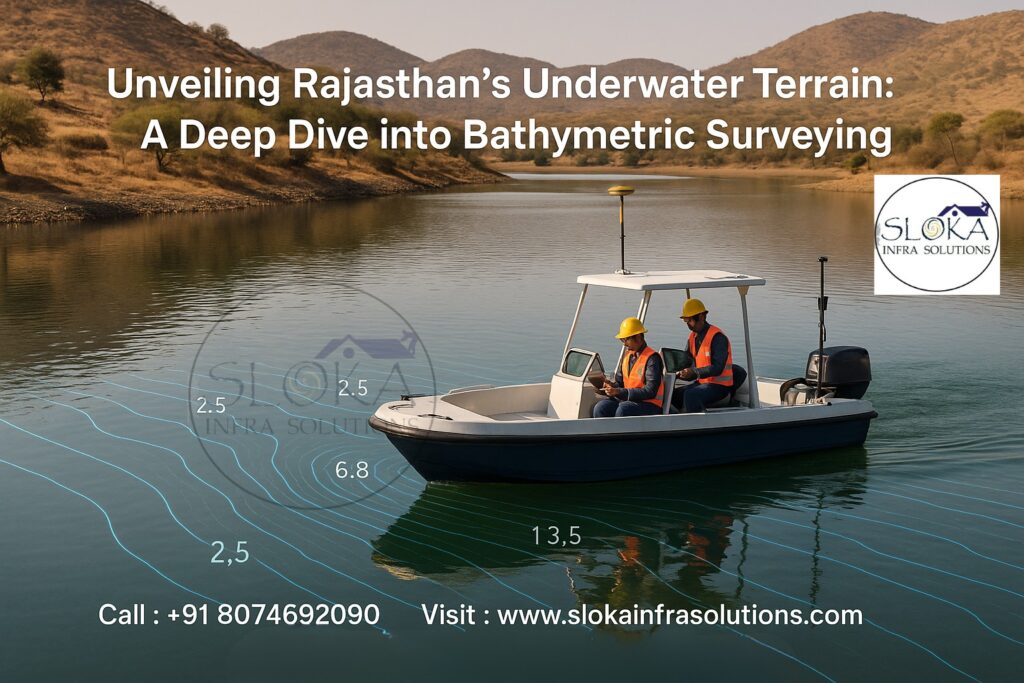
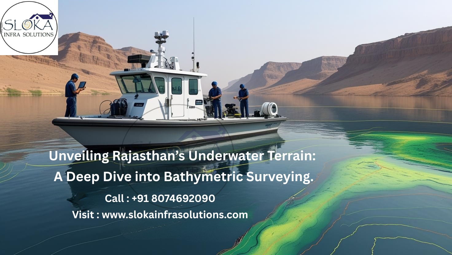
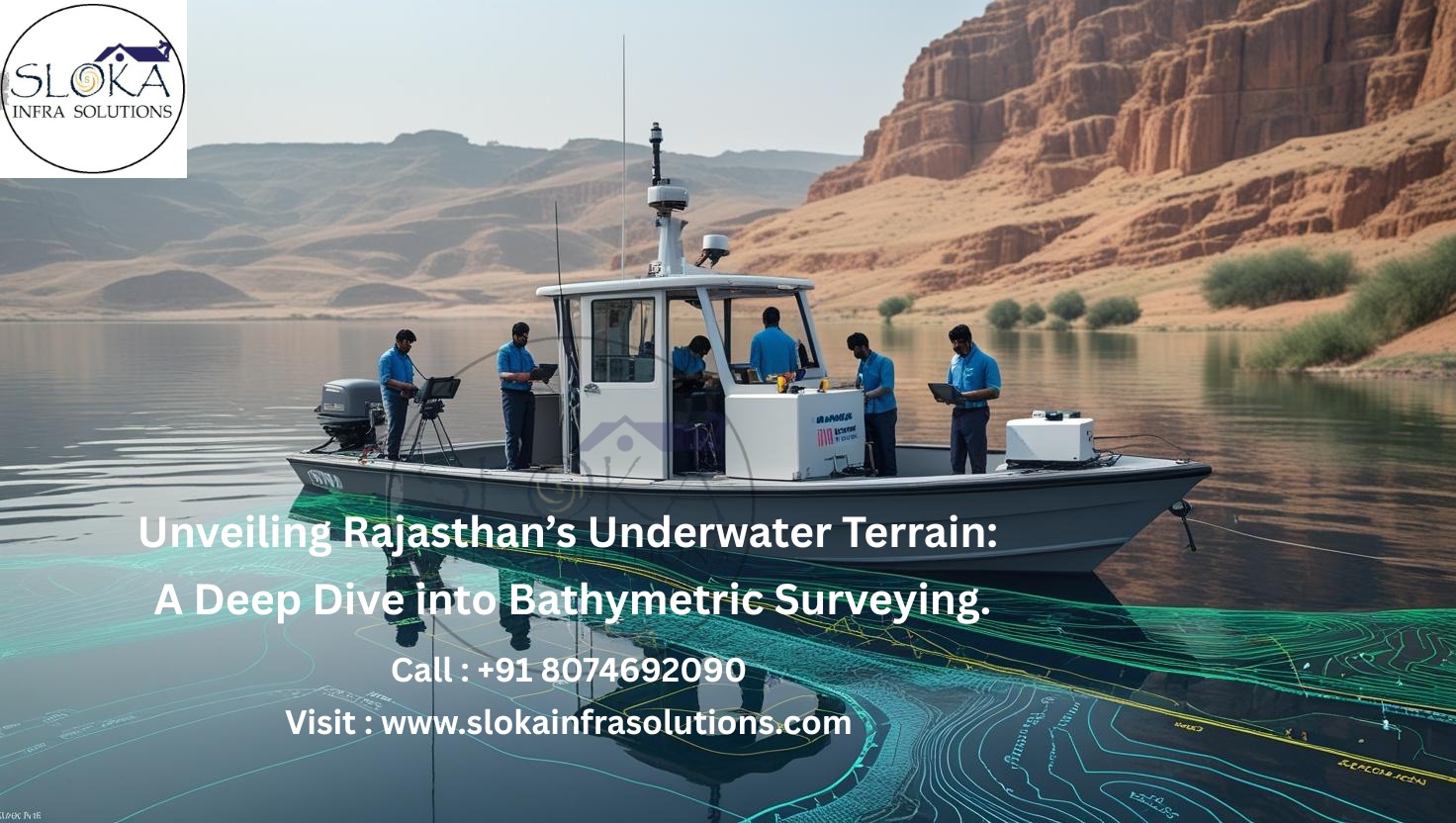
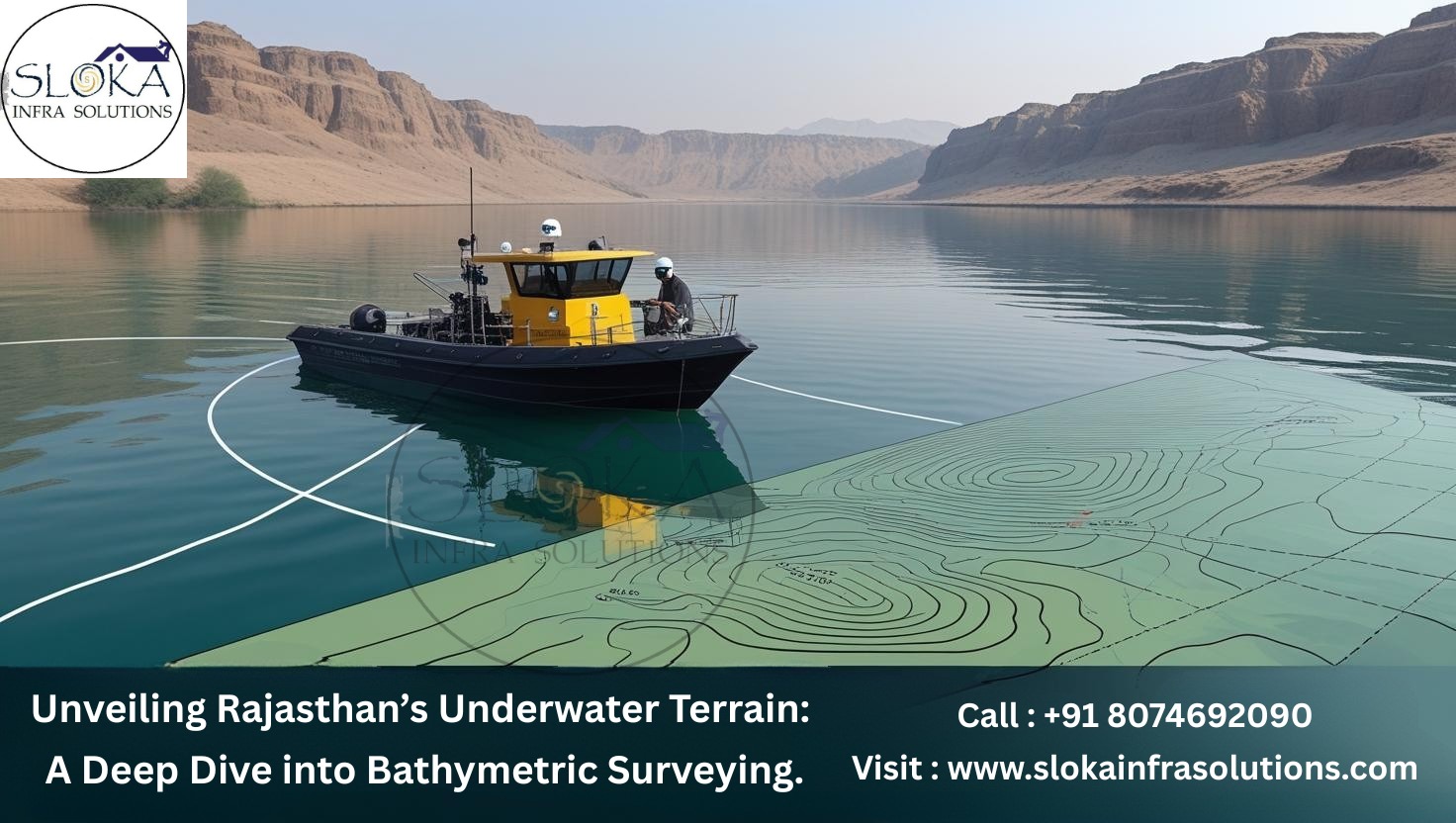
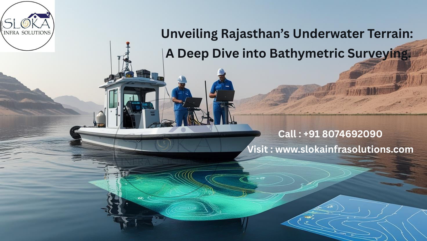
Unveiling Rajasthan’s Underwater Terrain: A Deep Dive into Bathymetric Surveying
Bathymetric Survey in Rajasthan plays a crucial role in understanding the underwater landscapes of the state’s water bodies. Though Rajasthan is known for its arid terrain and desert ecosystems, it is also home to vital lakes, reservoirs, and rivers that sustain agriculture, industry, and human life. Conducting bathymetric surveys across these water bodies helps assess sedimentation, evaluate water capacity, plan infrastructure, and monitor aquatic health, especially in regions like the Mahi Bajaj Sagar Reservoir and Jawai Dam.
Top Bathymetric Survey and Surveyor in Rajasthan
Top Bathymetric Survey and Surveyor in Rajasthan services have emerged as a backbone for water resource planning and environmental conservation. Companies like Technocrats Consortium in Jaipur and others in Udaipur and Jodhpur are using advanced sonar-based techniques to deliver accurate hydrographic data. These surveys are pivotal not only for water management but also for infrastructure development and scientific studies in Rajasthan’s dynamic geographical landscape.

Understanding Bathymetric Surveying
Bathymetric surveying is the methodical study of underwater depth and topography. Analogous to land topography, bathymetry involves creating 3D maps of the floors of lakes, reservoirs, rivers, and seas using specialized instruments like single-beam or multi-beam echo sounders. With GPS integration and advanced GIS systems, bathymetric data aids in rendering highly accurate digital elevation models (DEMs) of submerged terrain.
Importance of Bathymetric Surveys in Rajasthan
Despite its image as a dry and arid region, Rajasthan contains a diverse range of water bodies. Rajasthan’s rivers, reservoirs, and lakes—including the Chambal, Mahi, and Luni rivers, along with key reservoirs like Bisalpur and Mahi Bajaj Sagar—serve as crucial sources for irrigation, potable water, and industrial use across the state.Bathymetric surveys support multiple domains:
1. Reservoir Management
Surveys help in:
Calculating real-time storage capacity
Tracking siltation and sedimentation patterns
Planning desilting operations for capacity restoration
With over 200 reservoirs, Rajasthan faces serious sedimentation challenges that threaten long-term water security. For instance, bathymetric surveys in Mahi Bajaj Sagar Reservoir have revealed sediment deposition trends affecting its capacity.
2. Navigation and Infrastructure
Though inland water transport is limited, reservoirs and lakes are being explored for recreational and eco-tourism opportunities. Bathymetric charts ensure:
Safe navigation for small watercraft
Hazard identification (like underwater rocks or debris)
Accurate depth data for designing underwater pipelines, piers, and bridges
3. Environmental Monitoring
Rajasthan’s water bodies are under stress from both natural sedimentation and anthropogenic pollution. Bathymetric surveys help in:
Monitoring erosion and depositional patterns
Evaluating aquatic biodiversity zones
Studying changes in bathymetric contours due to climate impact
4. Groundwater-Surface Water Interaction
With declining groundwater levels (as highlighted in the CGWB & GWD report 2023), understanding interactions between surface water bodies and aquifers is critical. Bathymetry assists in modeling such interactions, especially in command areas of canals.
Rajasthan’s Geography & Hydrography: A Complex Canvas
Rajasthan spans 342,239 sq. km and is geographically diverse. Its physiographic divisions include:
Aravalli Hill Range
Eastern Alluvial Plains
Western Sandy Plains (Thar Desert)
Vindhyan Scarpland & Deccan Plateau
These regions host different types of aquifers and water bodies such as:
Jaisamand Lake – India’s second-largest artificial lake
Sambhar Lake – A large saline lake crucial for salt production
Chambal River Basin – A perennial river with multiple hydroelectric projects
Luni River Basin – An ephemeral river vital for western Rajasthan
Each waterbody type demands different bathymetric approaches based on turbidity, sediment load, and ecological sensitivity.
Technologies Used in Bathymetric Surveys
1. Single Beam Echo Sounders (SBES)
SBES is the traditional method, where a single acoustic pulse is transmitted directly beneath the vessel. Ideal for narrow reservoirs or rivers.
2. Multi-Beam Echo Sounders (MBES)
MBES systems emit a fan of acoustic beams across a wide swath of the waterbed. They provide high-resolution topographic maps and are ideal for large reservoirs like Mahi Bajaj Sagar.
3. RTK-GPS Integration
Real-Time Kinematic GPS ensures centimeter-level positional accuracy, essential for georeferencing bathymetric maps.
4. Drones and LiDAR (for near-shore zones)
For shallow or inaccessible regions, airborne LiDAR bathymetry (ALB) and drones are increasingly used, especially near hilly terrain in southeastern Rajasthan.
Sub Bottom Profilers
Sub Bottom Profilers (SBPs) are acoustic devices used to penetrate and image sediment layers beneath the bottom surface of water bodies. Unlike traditional echo sounders that only map the topography of the waterbed, SBPs provide a vertical profile of sediment strata, helping in geological and sedimentation analysis.
Applications in Rajasthan:
In reservoirs like Bisalpur and Jawai, SBPs are used to:
Detect historical sedimentation rates
Map layering of deposited material
Assess the thickness of silt beds that impact storage volume
Working Principle:
SBPs emit low-frequency acoustic waves (2–20 kHz), which travel through the water and penetrate the sediment. Reflected signals from different layers are captured and analyzed to determine sub-bottom composition and depth.
Benefits:
Helps in estimating total sediment volume
Aids in archaeological and geological studies
Supports planning of dredging operations by identifying hard bottom and soft sediment zones
Integration with Bathymetry:
When integrated with bathymetric data, SBPs enable a 3D volumetric assessment of sediment loads. This is crucial for states like Rajasthan, where erosion from the Aravalli ranges and surrounding terrain leads to significant siltation in man-made reservoirs.
Side Scan Sonar
Side Scan Sonar (SSS) is a specialized tool used in hydrographic surveys to create detailed images of the underwater floor by emitting sonar pulses sideways from a towed or mounted device.
Why Side Scan Sonar Matters in Rajasthan?
Water bodies in Rajasthan often contain submerged structures, vegetation, or debris. Using SSS:
Hazard mapping is enhanced for safe operations
Structural integrity of dams and spillways can be visually monitored
Aquatic vegetation and submerged objects (fallen trees, rocks) can be identified
Technology Behind It:
SSS uses high-frequency sound waves (500 kHz–1 MHz) directed sideways. These waves bounce off the seafloor or lakebed, and the intensity of the reflected sound is used to generate grayscale images of the underwater environment.
Use Cases:
Monitoring underwater pipelines in projects near Chambal or Mahi
Mapping lakebeds in eco-sensitive zones like Keoladeo National Park wetland areas
Pre-dredging assessment in sediment-heavy areas
Advantages:
Wide swath coverage in a single pass
Real-time feedback for quick on-site analysis
Excellent in turbid waters common in Rajasthan’s monsoon-fed reservoirs
By combining Side Scan Sonar with bathymetry and sub-bottom profiling, surveyors can deliver a full hydrographic profile necessary for smart water resource management.
Real-World Applications: Case of Mahi Bajaj Sagar Reservoir
In one of the notable studies conducted using an Integrated Bathymetry System, the Mahi Bajaj Sagar Reservoir was surveyed to analyze sedimentation levels. The findings were instrumental in:
Predicting reduction in water storage over time
Recommending desiltation strategies
Evaluating the need for new upstream check dams to slow silt inflow
This survey integrated SBES, RTK-GPS, and sediment analysis techniques for comprehensive insight.
Top Bathymetric Survey and Surveyor in Rajasthan
Sloka Infra Solutions is one of the leading firm offering bathymetric and sub-bottom profiling services. Our expertise includes:
Advanced GIS-based mapping
Environmental impact assessments
Infrastructure feasibility studies for bridges and water pipelines
Challenges & Future Outlook
Challenges:
Turbid Water Conditions: Murky water during the monsoon season, filled with suspended sediments, can interfere with the accuracy of sonar readings.
Accessibility: Remote reservoirs in desert terrain are hard to reach.
Manpower & Equipment: Skilled technicians and high-end instruments are limited in rural districts.
Future Trends:
Use of Autonomous Surface Vessels (ASVs) for unmanned survey operations
Real-time depth tracking is enhanced through the incorporation of IoT devices and cloud-based platforms.
Integration with IoT and cloud systems for real-time depth monitoring
Benefits of Bathymetric Survey in Rajasthan:-
For Water Resource Departments
Tracks sedimentation trends
Enhances dam safety
Improves irrigation planning
For Urban Planners and Engineers
Supports sustainable design of bridges and intake wells
Validates structural safety of underwater foundations
For Environmental Agencies
Monitors aquatic ecosystem health
Supports biodiversity studies in wetlands and lake zones
For Heritage and Tourism Departments
Helps preserve ancient submerged structures
Aids in tourism-focused lake rejuvenation projects

Conclusion
Bathymetric Survey in Rajasthan is more than a technical exercise—it is a strategic tool for managing one of the state’s most precious resources: water. With climate change, erratic rainfall, and increasing water demands, accurate underwater mapping will remain a cornerstone of sustainable water management. Whether it’s the Mahi Bajaj Sagar Reservoir, Jawai Dam, or Sambhar Lake, deploying advanced sonar systems and expert surveyors is the need of the hour. For policymakers, engineers, and ecologists, engaging the Top Bathymetric Survey and Surveyor in Rajasthan ensures decisions are based on science, precision, and foresight.