Bathymetric Survey in Gujarat
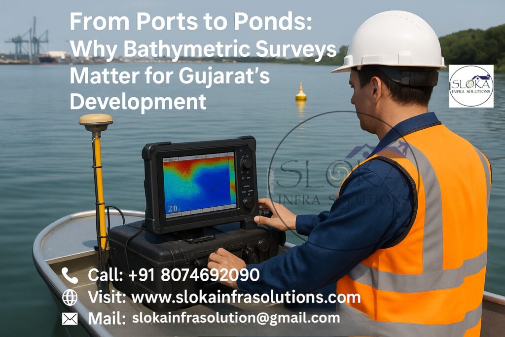
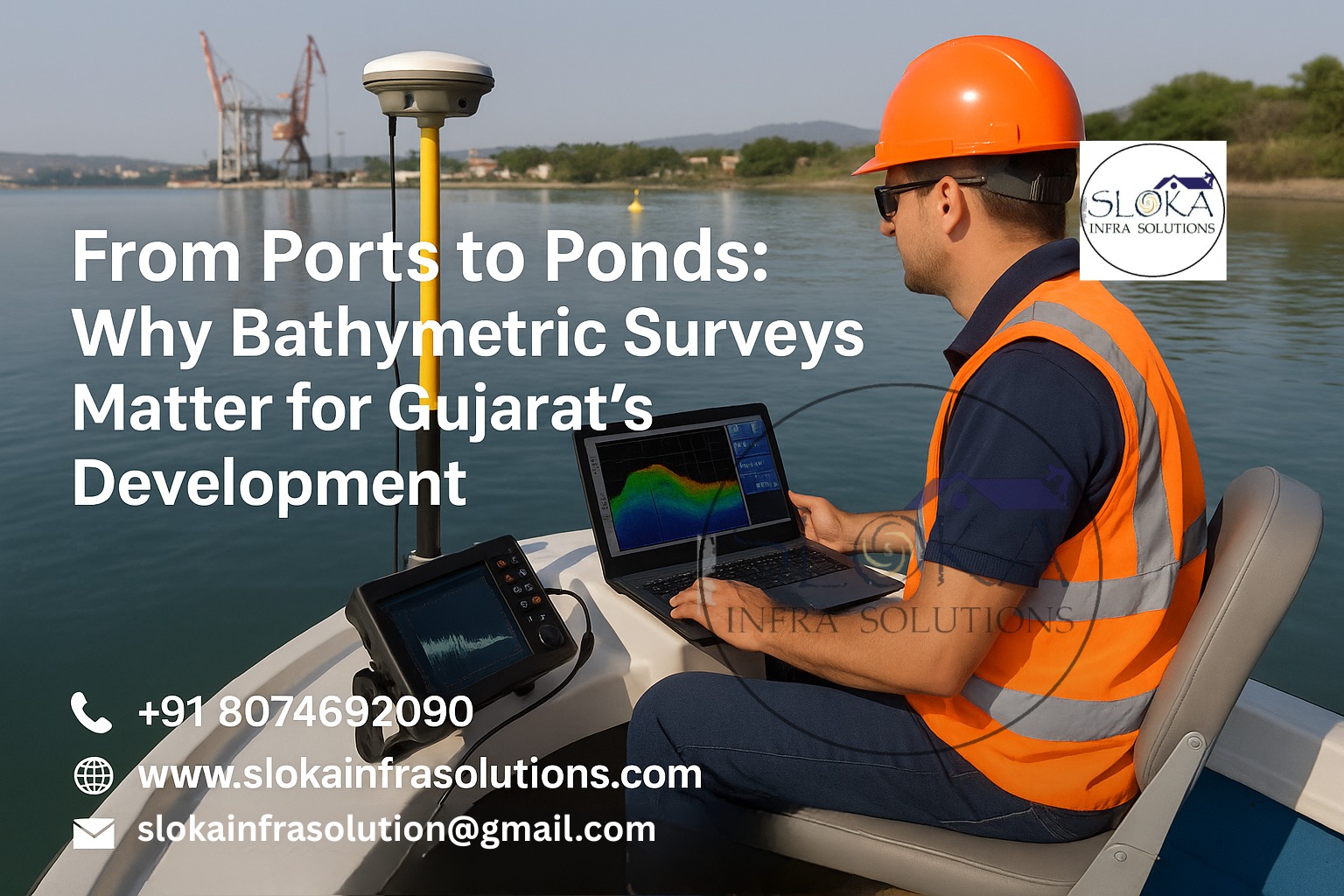
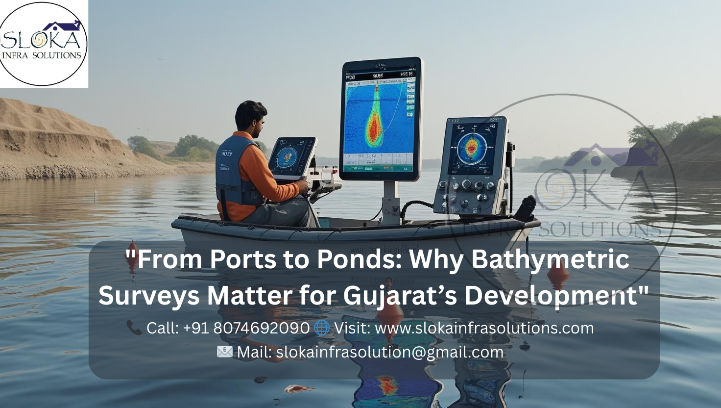
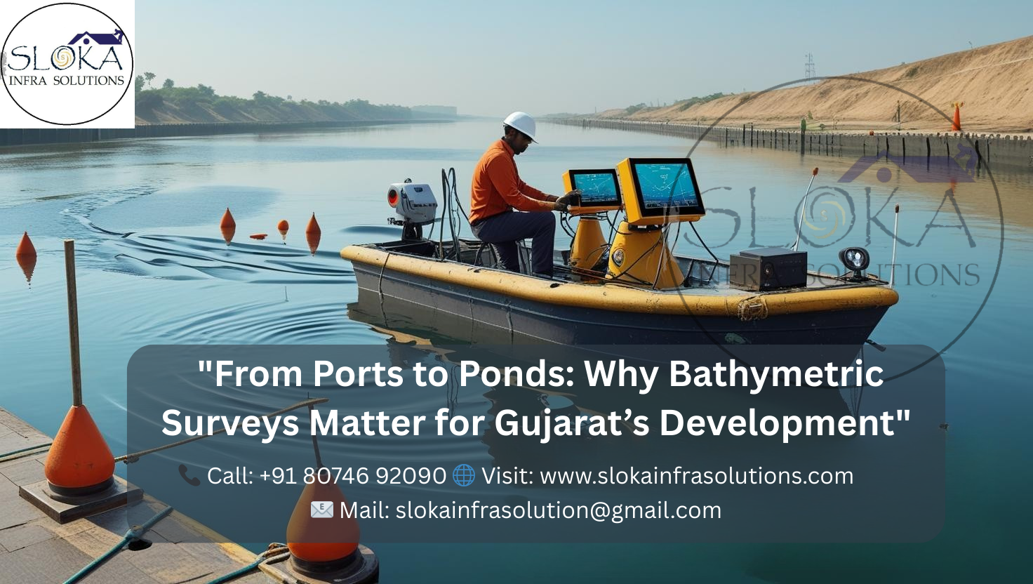
From Ports to Ponds: Why Bathymetric Surveys Matter for Gujarat’s Development
Bathymetric Survey in Gujarat: Unveiling the Underwater Landscape
Bathymetric Survey in Gujarat plays a pivotal role in understanding the underwater terrain of reservoirs, rivers, and coastal waters across the state. Given Gujarat’s diverse hydro-geographical landscape—ranging from the saline waters of the Arabian Sea and Gulf of Khambhat to inland water bodies like Ukai, Panam, and Lakhigam reservoirs—accurate bathymetric data is vital for water management, coastal planning, environmental conservation, and infrastructural development.
These surveys help measure the depth and shape of underwater surfaces, supporting key applications such as sedimentation analysis, flood modeling, dredging, and even marine biodiversity monitoring. The state government, under initiatives like the National Hydrology Project, is increasingly leveraging bathymetric surveys to boost hydrological understanding and resilience against climate-related water challenges.
Top Bathymetric Survey and Surveyor in Gujarat
:Enhancing Coastal and Inland Water Mapping
The Top Bathymetric Survey and Surveyor in Gujarat use cutting-edge equipment and data processing methodologies to serve industries ranging from ports and shipping to irrigation and environmental protection. In coastal cities like Gandhidham and Veraval, companies often deploy sonar-equipped boats for nearshore studies, while in interior districts such as Vadodara and Rajkot, the focus is on reservoirs and artificial lakes.
From executing multi-frequency sonar surveys in the Gulf of Kutch to assessing sediment buildup in the Narmada and Mahi Rivers, surveyors in Gujarat adapt techniques to match the unique characteristics of each site. Clients include port authorities, irrigation departments, environmental consultants, and hydropower project developers.
Notable survey sites include:
- Sardar Sarovar Reservoir
- Panam and Sukhi Reservoirs
- Coastal zones of Bhavnagar and Bharuch
- Banni Grassland aquifer systems in Kutch
Whether it’s for hydrographic charting or coastal development, Gujarat’s top survey firms provide reliable, actionable data tailored to real-world needs. With growing industrialization and environmental concerns, demand for high-quality bathymetric surveys is expected to rise steadily.
Why Bathymetric Surveys Matter in Gujarat
Gujarat’s 1,600+ km coastline—the longest of any Indian state—makes it a strategic hub for maritime trade, fisheries, and offshore development. In addition, inland water bodies such as Ukai, Kadana, and Dharoi reservoirs play a critical role in irrigation, drinking water supply, and hydropower. Bathymetric surveys allow policymakers and engineers to:
- Accurately measure storage capacity
- Track sedimentation and siltation
- Predict and manage flood risks
- Monitor aquatic ecosystems and seabed changes
- Plan underwater pipelines, bridges, ports, and jetties
Moreover, with the rapid development of the Gujarat Maritime Cluster, the need for regular bathymetric assessment has become even more vital to ensure safe navigation and support port expansion projects.
Methodology of Bathymetric Survey
Bathymetric surveys involve several technical steps to ensure accuracy and consistency:
1. Survey Objective and Scope
Each project begins with defining clear goals—be it hydrographic charting, dredging support, reservoir desilting, or marine construction. This scope influences the resolution and tools selected.
2. Equipment Selection
Single-beam echo sounders (SBES): Best for narrow or shallow water surveys
Multibeam echo sounders (MBES): Provide wide swath, high-resolution 3D mapping
GPS/RTK systems with IMU: Enable precise geolocation and motion correction
Sound Velocity Profilers: Account for temperature/salinity changes in acoustic propagation
Unmanned Surface Vehicles (USVs): Ideal for inaccessible or dangerous terrain
3. Survey Planning
A detailed line plan is designed to cover the area uniformly, accounting for tides, currents, water depth, and obstructions. Permissions from coastal or inland navigation authorities are obtained in advance.
4. Calibration & Setup
Sensor offset measurements, patch tests (for MBES), and bar checks (for SBES) are done before initiating the field survey to ensure accuracy. Sensor alignment, vessel orientation, and motion corrections are validated during this phase.
5. Data Collection
Boats or USVs move in a grid pattern while collecting continuous depth, velocity, and position data. Operators monitor sonar coverage in real-time to detect gaps or anomalies.
6. Post-Processing & QA
Raw data is processed using software like Hypack, CARIS, or QINSy to:
- Apply motion and tide corrections
- Remove noise and outliers
- Generate Digital Terrain Models (DTMs)
- Validate with benchmark data
7. Reporting
Final deliverables include 3D seabed maps, contour charts, depth profiles, and full metadata documentation.
Sub Bottom Profilers: Understanding Beneath the Bed
Sub Bottom Profilers (SBPs) are essential in projects that go beyond just the seabed—they reveal what lies beneath. These acoustic systems send low-frequency sound pulses that penetrate the seafloor, capturing subsurface sediment layers.
In Gujarat’s coastal areas—like the Gulf of Khambhat or estuaries of the Sabarmati and Narmada rivers—SBPs are invaluable for:
- Analyzing sediment buildup for dredging projects
- Determining stratigraphy for port construction or offshore pipelines
- Detecting buried obstructions or archaeological remains
The profiler data helps differentiate between layers of sand, clay, silt, and rock, giving engineers insights for foundation design or resource extraction. SBPs operate typically between 2 kHz to 15 kHz, and modern systems can detect layers up to 50 meters deep under the seabed.
In regions prone to seismic activity like Kutch, SBPs assist in geological risk assessments. The ability to generate cross-sectional images of the underwater strata provides a detailed understanding of sediment dynamics, especially important for large infrastructure projects like tidal energy farms or undersea cables.
SBPs in Gujarat are increasingly used in combination with side scan sonar and MBES for comprehensive subsurface-to-surface mapping. The demand for this triple-data integration is high in offshore oil exploration and in smart port initiatives like Gujarat Maritime Board’s Port City Projects.

Side Scan Sonar: Visualizing the Seabed
Side Scan Sonar (SSS) is a powerful tool used to produce photo-like images of the seabed. Unlike depth-measuring tools like echo sounders, SSS is used to detect objects, textures, and patterns on the seafloor, making it indispensable for:
- Shipwreck detection
- Underwater cable route planning
- Habitat mapping (corals, seagrass beds, etc.)
- Surveillance and defense applications
In Gujarat, side scan sonar is extensively deployed across the Gulf of Kutch, Mandvi coast, and Porbandar fishing harbors. Its ability to scan large areas with a high-resolution “mosaic” view is beneficial for identifying:
- Boulders and rock outcrops
- Fishing nets and underwater debris
- Sunken vessels or containers
- Dredging irregularities
The sonar emits acoustic waves from towed or hull-mounted transducers at frequencies ranging from 100 kHz to 900 kHz. The higher the frequency, the better the resolution (but with less range).
With increasing coastal industrialization and marine traffic in Gujarat, SSS is now routinely used during pre-dredging, post-dredging, and environmental clearance studies. Data from side scan sonar is often integrated with bathymetric and sub-bottom profiling for multi-dimensional analysis of the waterbed.
Modern SSS units also support AI-driven object detection, allowing automated recognition of underwater threats or assets. With Gujarat’s vision to be a marine logistics and tourism hub, side scan sonar continues to be a cornerstone technology in underwater surveying.
Regulatory Compliance and Environmental Monitoring
In Gujarat, bathymetric surveys must adhere to guidelines from authorities like:
- Gujarat Maritime Board
- Ministry of Jal Shakti
- Central Water Commission
- Ministry of Environment, Forest and Climate Change
Environmental Impact Assessments (EIAs) for new ports, bridges, and desalination plants mandate high-quality bathymetric data. Moreover, bathymetric surveys support climate resilience strategies by monitoring changes in coastline morphology and reservoir sedimentation.
Real Projects and Use Cases in Gujarat
Bathymetric surveys have been successfully conducted across Gujarat in projects such as:
- Reservoir Sedimentation Surveys: For Lakhigam, Panam, and Sukhi dams to estimate live and dead storage capacities.
- Flood Forecasting Models: Using bathymetric data from Sabarmati and Mahi rivers to create real-time flood simulation models.
- Port Expansion: Pre-dredging and seabed clearance for Kandla and Dahej ports.
- Urban Lake Management: Survey of water bodies in Ahmedabad, Rajkot, and Gandhinagar to evaluate capacity and rejuvenation feasibility.
- Coastal EIA Projects: Mapping near the Gulf of Khambhat for proposed tidal power and industrial corridor development.
Challenges in Bathymetric Surveys in Gujarat
While Gujarat offers immense opportunities, bathymetric surveys in the state face several challenges:
- Tidal Variations: Especially in the Gulf of Khambhat where high tidal ranges can affect measurements.
- Sediment-laden Rivers: Turbidity in Narmada or Sabarmati affects sonar accuracy.
- Monsoon Conditions: Seasonal flooding and strong currents can delay or distort surveys.
- Permission and Access: Coastal security zones and protected areas require special permits and compliance with defense regulations.
Overcoming these hurdles requires experienced survey teams, robust planning, and adaptive technology.
Future of Bathymetric Surveying in Gujarat
With rising investments in blue economy, smart ports, and climate resilience, Gujarat is poised to become a hub for hydrographic excellence. Projects like the Kalpasar Dam in the Gulf of Khambhat or marine spatial planning for ecotourism zones will require high-quality bathymetric inputs.
The integration of AI, satellite remote sensing, and real-time data streaming is also enhancing survey efficiency. In future, Gujarat may witness:
Autonomous bathymetric drones for shallow or high-risk areas.
Crowdsourced hydrography using fishing vessels or ferries.
3D web-based visualizations for public and administrative access.
Final Thoughts
Bathymetric Survey in Gujarat is no longer just a technical task—it’s a strategic necessity. As the state continues to lead in blue economy development, industrial coastal zones, smart ports, and water conservation projects, accurate bathymetric data will remain a critical driver of sustainable growth.
Working with the Top Bathymetric Survey and Surveyor in Gujarat ensures not only technical precision but also regulatory compliance, environmental stewardship, and project efficiency. With advanced tools like multibeam sonar, side scan sonar, and sub-bottom profilers, the underwater secrets of Gujarat are now within reach—charting a course toward better water management and marine infrastructure development.