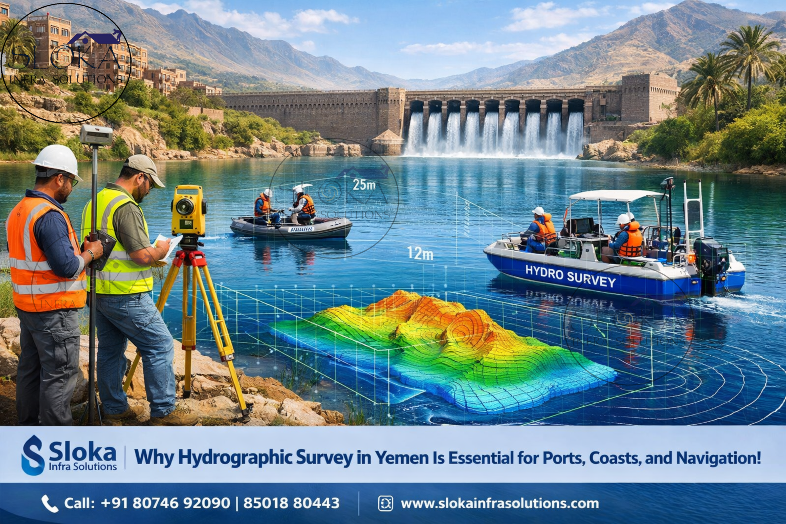
Hydrographic Survey in Yemen
Call: +91 80746 92090
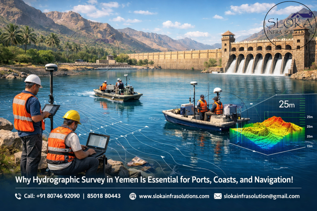
Why Hydrographic Survey in Yemen Is Essential for Ports, Coasts, and Navigation!:-
Hydrographic Survey in Yemen is becoming increasingly important for a nation defined by strategic coastlines, busy maritime routes, fisheries, ports, offshore opportunities, and sensitive marine ecosystems. Yemen sits at the crossroads of the Red Sea, Bab el-Mandeb Strait, Gulf of Aden, Arabian Sea, and the waters surrounding Socotra Island. This geography gives the country exceptional maritime significance, making accurate underwater mapping essential for navigation safety, coastal development, environmental monitoring, dredging, defense planning, and marine resource management. Reliable hydrographic data helps authorities, engineers, shipping operators, and researchers understand depths, seabed features, currents, sediment movement, and submerged hazards.
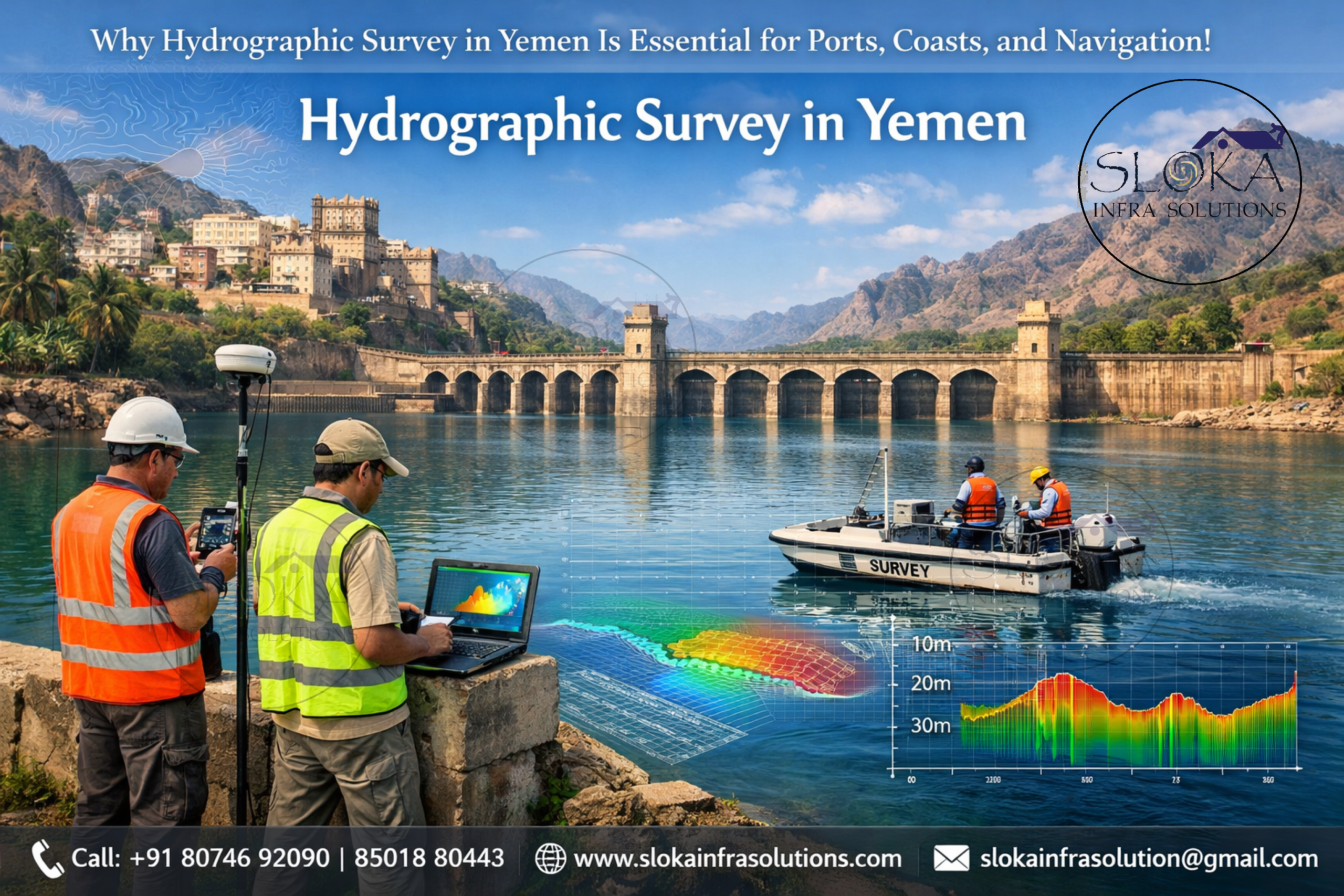
Top Hydrographic Survey & Surveyors in Yemen
Top Hydrographic Survey & Surveyors in Yemen play a crucial role in generating accurate marine data for ports, harbors, channels, offshore projects, shoreline protection, and scientific studies. Professional surveyors combine advanced sensors, positioning systems, sonar technologies, motion sensors, tide gauges, and geospatial software to produce nautical charts and engineering-grade seabed models. In Yemen, hydrographic expertise is particularly valuable in coastal zones such as Aden, Al Hudaydah, Mukalla, Mocha, and island regions where marine access and infrastructure planning depend on dependable seabed intelligence.
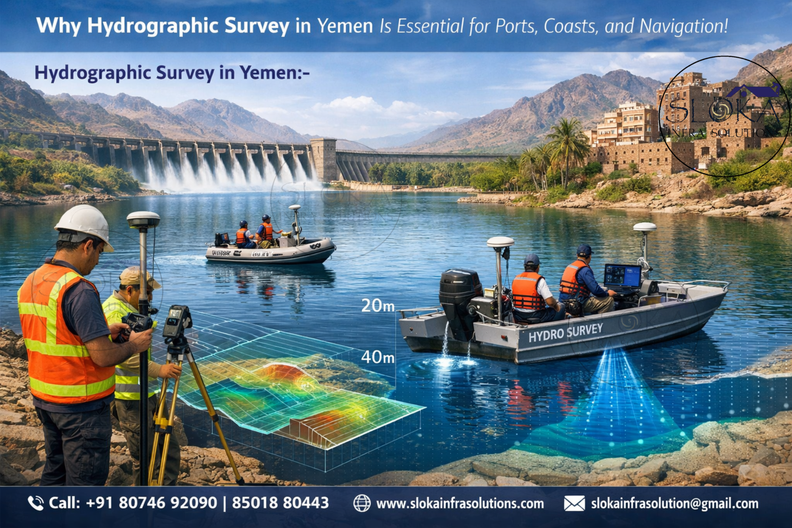
Why Yemen needs Hydrographic surveys more than ever?
Yemen’s maritime geography creates strong demand for modern hydrographic surveying. The country borders major international shipping lanes where vessels move between Europe, Asia, and Africa through the Bab el-Mandeb chokepoint. Even small navigational errors in shallow or changing waters can create delays, accidents, or costly disruptions.
Hydrographic surveys support:
- Safe navigation for cargo and tanker traffic
- Port expansion and dredging design
- Fishing harbor upgrades
- Coastal erosion studies
- Offshore cable and pipeline routing
- Marine habitat mapping
- Search and recovery missions
- Flood resilience and shoreline planning
- Renewable energy feasibility studies
- National marine spatial planning
The waters around Yemen are influenced by seasonal monsoons, circulation exchanges, and sediment transport, which means seabed conditions can change over time. Regular resurveys are essential.
Yemen’s key water bodies requiring survey attention:-
1.Red Sea Coast
Yemen’s western shoreline along the Red Sea includes shallow shelves, coral environments, fishing zones, and commercial access points. Surveys here are critical for port operations, channel maintenance, and environmental protection.
2.Bab el-Mandeb Strait
One of the world’s most strategically important waterways, this narrow passage links the Red Sea and Gulf of Aden. Hydrographic intelligence is vital for route safety, depth monitoring, and traffic management.
3.Gulf of Aden
A deep and economically important gulf serving ports such as Aden and Mukalla. Surveys assist anchorage planning, dredging, and offshore logistics.
4.Arabian Sea Coast
Eastern Yemen’s coastline faces open-ocean conditions, sediment dynamics, and fisheries zones that benefit from hydrographic mapping.
5.Islands and Archipelagos
Areas around Socotra Island require environmental-sensitive surveys for harbor access, coastal resilience, and conservation planning.
Single Beam Echo Sounder Survey:-
A Single Beam Echo Sounder Survey is one of the most trusted methods for measuring water depth along survey lines. It works by transmitting an acoustic pulse vertically downward from a vessel and recording the time it takes for the sound to return from the seabed. This allows surveyors to calculate depth accurately.
In Yemen, single beam surveys are highly practical for:
- Port approach channels
- Fishing harbors
- Rivers, lagoons, and reservoirs
- Pre-dredging and post-dredging checks
- Jetty and quay wall inspections
- Small coastal development projects
Because the equipment is efficient and cost-effective, it is often selected for maintenance surveys where repeat monitoring is needed. In areas such as Aden or Al Hudaydah, single beam systems help verify siltation levels and navigable depths.
Modern systems integrate with GPS and motion sensors, improving accuracy even in active marine environments. While it does not capture full seafloor coverage like multibeam systems, it remains extremely valuable for focused corridor surveys and budget-sensitive projects.
For many coastal authorities and contractors, single beam remains the foundation of hydrographic fieldwork.
Multibeam Echo Sounder Survey:-
A Multibeam Echo Sounder Survey is the workhorse of modern hydrography because it measures a wide strip of seabed with each pass, not just the line directly under the vessel. NOAA describes multibeam sonar as measuring depth by analyzing the travel time of sound from the boat to the seafloor and back, and it also notes that multibeam systems can collect water-column and acoustic backscatter data.
This produces:
- Full seabed coverage
- 3D terrain models
- High-resolution bathymetry
- Wreck and obstruction detection
- Scour analysis near structures
- Precise dredging volume calculations
For Yemen, multibeam is highly valuable in strategic marine corridors, port basins, offshore development zones, and rocky or reef-prone coastlines. It can identify hazards missed by sparse single-line methods.
In the Gulf of Aden and Red Sea sectors, where seabed relief can vary significantly, multibeam data improves vessel safety and engineering planning. It is especially useful before constructing breakwaters, terminals, offshore foundations, or submarine utilities.
With proper calibration, sound velocity correction, tide reduction, and positioning control, multibeam delivers engineering-grade outputs such as digital terrain models and contour charts.
For national maritime modernization, multibeam capability is a major asset.
ADCP Survey:-
An ADCP Survey (Acoustic Doppler Current Profiler) measures water current speed and direction throughout the water column. It uses acoustic signals reflected by suspended particles in the water to estimate flow patterns at multiple depths.
ADCP surveys are highly valuable in Yemen because regional waters are influenced by seasonal exchanges between the Red Sea and Gulf of Aden, monsoon forcing, and tidal movement.
Applications include:
- Port maneuvering studies
- Sediment transport assessment
- Offshore structure design
- Dredging plume studies
- Coastal erosion modelling
- Search and rescue drift analysis
- Intake and outfall engineering
- Renewable energy current studies
For example, when designing a harbor extension near Aden, engineers need to understand currents affecting vessel handling and sedimentation. ADCP data helps solve these issues.
ADCP units can be vessel-mounted, bottom-mounted, or deployed from autonomous platforms. Combined with hydrographic depth data, they provide a fuller understanding of how Yemen’s waters behave dynamically, not just geometrically.
Side Scan Sonar:-
Side Scan Sonar is used to create image-like acoustic views of the seabed surface. Instead of measuring only depth, it reveals texture, objects, debris, pipelines, wrecks, rocks, anchors, and seabed patterns.
In Yemen, side scan sonar is useful for:
- Port security sweeps
- Wreck detection
- Cable route inspections
- Salvage support
- Hazard identification
- Fisheries habitat studies
- Post-storm debris mapping
This tool is particularly effective in anchorages and approach channels where hidden obstructions can threaten navigation.
For ports and defense-related marine awareness, side scan sonar offers rapid reconnaissance. When paired with multibeam data, surveyors get both imagery and accurate depth models.
Sub Bottom Profilers:-
Sub Bottom Profilers penetrate beneath the seabed surface using low-frequency acoustic signals. They reveal buried layers, sediment thickness, paleochannels, rock depth, and hidden objects.
In Yemen, sub bottom profiling is highly valuable for:
- Port expansion foundation studies
- Dredging material assessment
- Pipeline and cable burial planning
- Coastal reclamation projects
- Sediment accumulation studies
- Geotechnical pre-investigation support
Where soft sediments overlie harder layers, these systems help engineers estimate excavation effort and design feasibility.
For long-term infrastructure in ports or offshore zones, understanding what lies beneath the seabed can be just as important as mapping the surface.
Major benefits of Hydrographic surveying for Yemen:-
1.Safer Shipping: Accurate charts reduce grounding and collision risk.
2.Stronger Ports:Reliable seabed data supports efficient dredging and expansion.
3.Better Fisheries Management:Marine habitat mapping helps sustainable planning.
4.Coastal Protection:Surveys guide erosion control and flood resilience works.
5.Smarter Investments:Developers gain dependable data before marine construction begins.
Technology used by modern survey teams:-
Today’s hydrographic operations often use:
- RTK GNSS positioning
- IMU / motion reference units
- Tide gauges
- Single beam and multibeam sonar
- ADCP systems
- Side scan sonar
- Sub bottom profilers
- Survey vessels and USVs
- GIS and CAD software
- Cloud-based data processing
Choosing the right survey partner:-
When selecting a hydrographic contractor, consider:
- Experience in coastal and offshore projects
- Sensor calibration standards
- Data accuracy procedures
- Safety systems
- Fast mobilization capability
- Deliverables quality
- Local marine knowledge
- Post-processing expertise
Advancing trade routes with modern Hydrographic technology:-
As maritime trade, fisheries, coastal infrastructure, and marine conservation grow, hydrographic data will become even more valuable. Yemen has strong potential for:
- Port modernization
- Blue economy planning
- Marine tourism zones
- Renewable offshore energy studies
- National chart upgrades
- Climate resilience programs
This is why Hydrographic Survey in Yemen will remain a core technical service for future development. Likewise, professional demand for Top Hydrographic Survey & Surveyors in Yemen is expected to grow as marine projects expand.
The path forward with reliable Hydrographic solutions:-
Hydrographic surveying is far more than measuring water depth—it is the science that unlocks safe navigation, efficient ports, sustainable coastlines, and informed marine decisions. For a country with access to the Red Sea, Bab el-Mandeb, Gulf of Aden, Arabian Sea, and island waters, Yemen’s future maritime progress depends heavily on accurate underwater intelligence.
In the end, hydrography is really about confidence. It gives ship operators better routes, gives engineers better design inputs, gives environmental teams better evidence, and gives coastal projects a stronger base for action. Yemen’s maritime setting makes that confidence especially valuable because its seas, straits, islands, and ports all sit in a landscape where water conditions can matter as much as land conditions. A strong hydrographic program is not just helpful there; it is part of how safe and smart marine decisions are made.
From single beam depth checks to multibeam mapping, ADCP current studies, side scan sonar imaging, and sub bottom profiling, modern survey solutions provide the data needed to build with confidence and operate safely.