Bathymetric Survey in Maharashtra
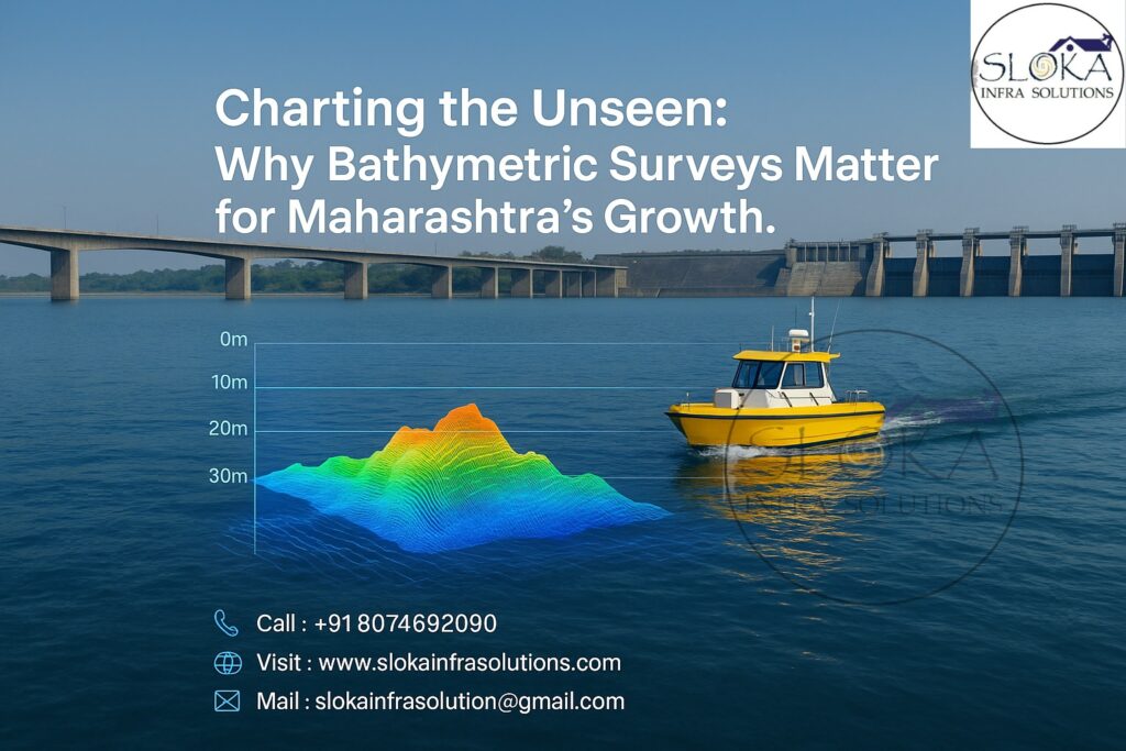
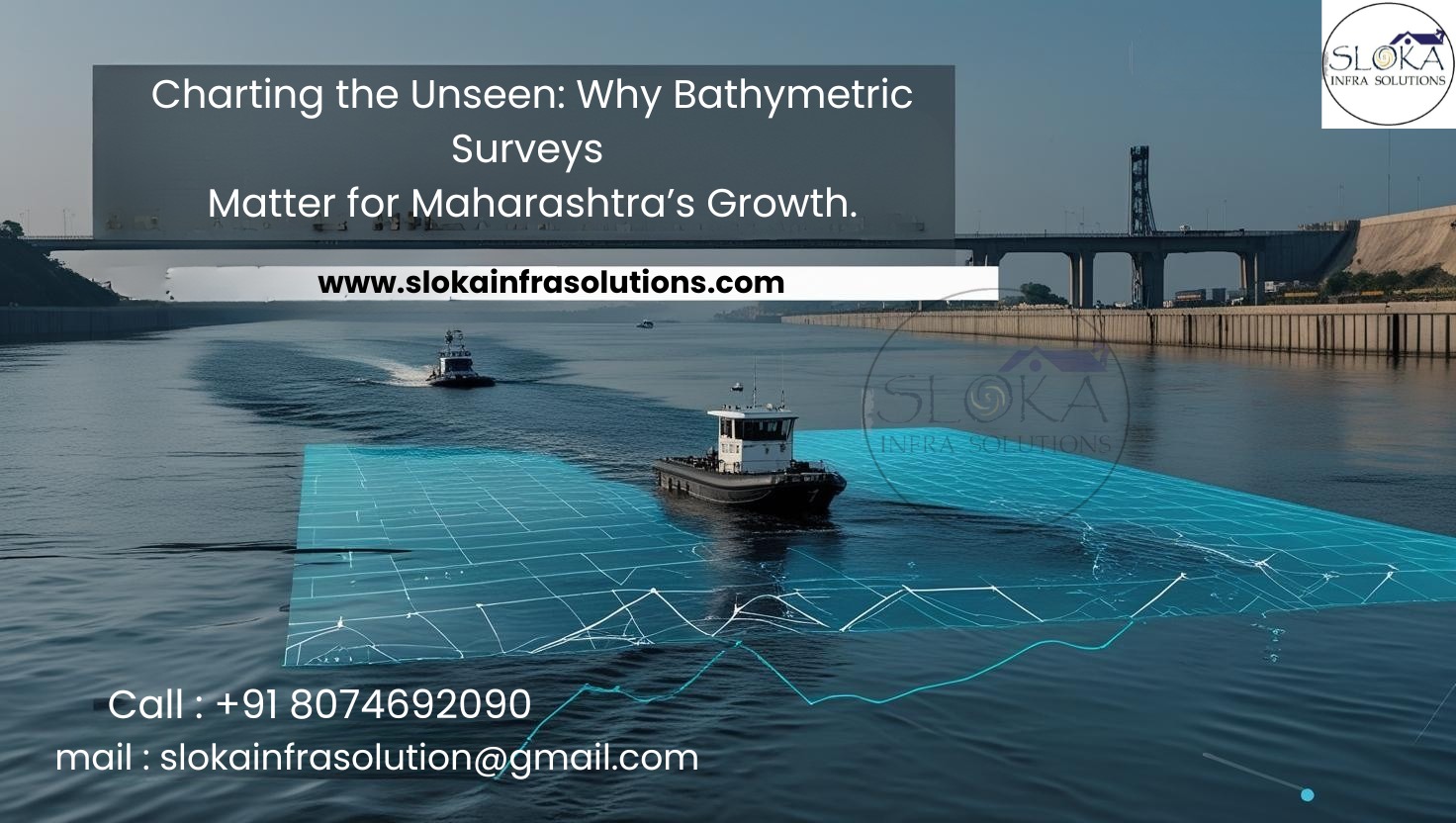
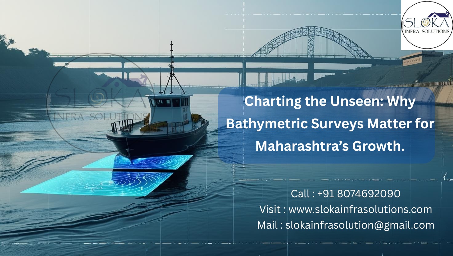
Charting the Unseen: Why Bathymetric Surveys Matter for Maharashtra’s Growth
Call : +91 80746 92090
Bathymetric Survey in Maharashtra plays a pivotal role in uncovering the hidden underwater landscapes spread across the state’s varied geography. From coastal stretches and inland rivers to vast reservoirs and urban lakes, these surveys help map depth, shape, and underwater features essential for planning, development, and environmental management. With a 720 km coastline along the Arabian Sea, hundreds of dams, major rivers like the Godavari and Krishna, and lakes that support urban populations and agriculture, Maharashtra’s underwater terrains are both complex and crucial. From supporting irrigation in Marathwada to planning ports in Konkan and assessing sedimentation in Vidarbha’s reservoirs, bathymetric surveys are essential to unlocking the full potential of the state’s aquatic resources.
Top Bathymetric Survey and Surveyor in Maharashtra
Top Bathymetric Survey and Surveyor in Maharashtra are equipped with the latest sonar and geospatial technologies to accurately measure the submerged topographies of rivers, lakes, and coastal zones. These surveyors support the state’s diverse development goals—ranging from smart city lake rejuvenation to deep-water port expansion, flood control in urban zones, and sustainable irrigation planning. Their expert handling of terrain-specific challenges and commitment to high-accuracy data ensures decision-makers have a reliable blueprint beneath the water’s surface.
What is a Bathymetric Survey?
A bathymetric survey is the underwater equivalent of a topographic map. It involves measuring water depth and mapping the shape of riverbeds, lake floors, and seabeds. These surveys are conducted using sonar-based echo sounders, differential GPS systems, tide gauges, and data processing software to create detailed digital terrain models (DTMs) and bathymetric charts.
Bathymetric data is used in a wide range of sectors—from port construction and dam safety to ecological monitoring and disaster management. It uncovers hidden underwater structures, monitors sedimentation trends, and supports intelligent, sustainable infrastructure development.

Maharashtra’s Unique Water Geography: Why Bathymetric Surveys Are Crucial
Maharashtra’s hydrography is defined by:
A long western coastline (Konkan region)
Major river systems (Godavari, Krishna, Bhima, Tapi, Wardha)
Over 1,800 large dams (like Jayakwadi, Koyna, and Ujani)
Urban water bodies (Pawai Lake, Rankala Lake, Shukrawari Talao)
Wetlands, estuaries, and irrigation tanks across Vidarbha and Marathwada
Each region faces specific challenges—coastal erosion in Ratnagiri, urban flooding in Mumbai, reservoir sedimentation in Nashik, and dam management in drought-prone areas. Bathymetric surveys provide critical data for managing these challenges through precise, location-specific analysis.
Key Technologies in Bathymetric Surveying
1. Single-Beam Echo Sounder (SBES)
Used in shallow and narrow rivers like Mula-Mutha in Pune or urban lakes, SBES collects accurate point-based depth data.
2. Multi-Beam Echo Sounder (MBES)
Ideal for large areas like the Arabian Sea near Mumbai Port or the expansive backwaters of Koyna Dam, MBES creates high-resolution 3D maps.
3. Side-Scan Sonar
Used for seabed imaging along ports like Jawaharlal Nehru Port Trust (JNPT) and fisheries harbors like Ratnagiri and Malvan, capturing surface textures and underwater obstructions.
4. Acoustic Doppler Current Profiler (ADCP)
Measures water flow, used in rivers like Godavari and Bhima to model sediment transport and design embankments.
5. Unmanned Surface Vehicles (USVs)
Essential for difficult-to-access or hazardous areas like flood zones in the Konkan belt or silted dam inlets in Vidarbha.
6. Tide Gauges & Sound Velocity Profilers
Ensure sonar accuracy by correcting for tidal changes and variations in sound speed through water.
7. Geographic Information Systems (GIS) & 3D Modeling Software
Used to visualize and analyze bathymetric data alongside rainfall, land-use, and sedimentation models.
Applications of Bathymetric Survey in Maharashtra
1. Dam and Reservoir Sedimentation Studies
Maharashtra has one of India’s highest dam densities. Over time, dams like Ujani, Jayakwadi, and Koyna suffer from sediment buildup that lowers capacity.
Bathymetric surveys:
Quantify silt volume and distribution
Aid in planning desilting and dredging operations
Extend dam life and optimize water storage
Case Example: A recent bathymetric study of Jayakwadi Dam found over 35% reduction in water capacity due to sedimentation, prompting urgent dredging and improved inflow regulation.
2. Coastal and Port Development
Maharashtra’s ports—JNPT, Mumbai Port, Dabhol, and minor fisheries ports—require constant monitoring.
Surveys assist in:
Dredging and navigational safety
Designing jetties, breakwaters, and expansion plans
Monitoring tidal channels and seabed morphology
Example: At JNPT, MBES surveys are used to maintain shipping lane depths and prevent grounding incidents.
3. Urban Flood Management & Lake Restoration
Urban water bodies in cities like Mumbai, Nagpur, and Pune are vital for drainage, recharge, and aesthetics.
Bathymetric mapping:
Helps model urban drainage and stormwater systems
Identifies zones for lake deepening and desilting
Aids in eco-restoration planning
Example: Powai Lake in Mumbai underwent bathymetric mapping to support eco-restoration and improve stormwater capacity amid increased urban runoff.
4. Irrigation and Canal Network Optimization
Marathwada and Vidarbha rely heavily on reservoirs and canals.
Bathymetric data is used to:
Ensure intake structures are optimally placed
Identify sedimentation that affects flow
Support precision irrigation projects
5. Riverine Flood Control & Disaster Preparedness
Rivers like Krishna, Bhima, and Godavari swell dangerously during the monsoon.
Bathymetric surveys:
Support real-time flood modeling
Guide embankment design
Help forecast overflow zones
Example: In the 2021 floods in Sangli and Kolhapur, bathymetric data from previous years helped design emergency evacuation routes.
6. Wetland and Estuarine Biodiversity Monitoring
The estuarine regions of the Konkan coastline, along with the wetlands found in Nashik and Buldhana districts, are rich in biodiversity and serve as vital ecological zones.
Surveys contribute to:
Mapping aquatic vegetation and spawning zones
Monitoring sedimentation threatening fish nurserie
Supporting eco-tourism and wetland conservation
Step-by-Step Bathymetric Survey Workflow
1. Planning and Scope Definition
Identify goals: such as sediment removal, reservoir assessment, flood hazard analysis, and other specific needs.
Define extent and choose appropriate technology
2. Survey Line and Grid Design
Develop a network of parallel/perpendicular lines
Establish GPS control and benchmarks
3. Data Collection
Deploy sonar and GPS systems via boats or USVs
Record continuous depth, flow, and terrain data
4. Post-Processing
Correct for tide and sound velocity
Filter noise and integrate multiple data layers
5. Modeling and Deliverables
Generate DTMs, isobath maps, contour models
Output includes GIS-compatible formats (GeoTIFF, XYZ, DXF
Sub Bottom Profilers:
Beneath the visible seabed and riverbeds of Maharashtra lies a silent, layered history—one that sub bottom profilers are uniquely designed to uncover. This advanced hydrographic tool uses low-frequency acoustic signals to penetrate the layers of sediment and rock beneath the water body’s floor, delivering a detailed profile of the subsurface structure.
Sub bottom profiling plays a crucial role in areas such as the sediment-laden zones of the Krishna and Tapi rivers or the reservoir basin behind Jayakwadi Dam.. It reveals buried geological features, sediment layers, and even archaeological remnants—offering data that goes far beyond surface-level mapping. This insight is crucial for planning underwater infrastructure, evaluating dredging needs, and assessing seabed stability for coastal projects.
This technology stands out for its capability to identify concealed objects and analyze sediment layers in terms of composition, depth, and porosity—key factors in groundwater assessment and infrastructure design. Integrated with real-time processing software, sub bottom profilers produce clear, actionable visuals that help engineers, conservationists, and policymakers understand what lies beneath Maharashtra’s waterscapes.
From identifying ancient deposition zones in Konkan’s estuaries to assessing reservoir bed stability in Vidarbha, sub bottom profiling enriches the surveyor’s toolkit—delivering precision, depth, and context.
Side Scan Sonar:
When it comes to scanning wide underwater areas with stunning clarity, side scan sonar leads the way. This technology emits fan-shaped sound waves from transducers mounted on both sides of a vessel, capturing detailed acoustic images of the seabed’s surface features.
In coastal stretches from Ratnagiri to Uran, and in busy port zones like JNPT and Mumbai Port Trust, side scan sonar is instrumental. It visualizes everything from shipwrecks and sunken debris to seabed textures, submerged rocks, and sediment transitions—making it vital for safe navigation, marine archaeology, and underwater hazard detection.
Unlike traditional vertical-depth sounding methods, side scan sonar provides a broad, horizontal field of view—perfect for mapping expansive areas quickly. Whether it’s for fisheries development, port expansion, or disaster response in flood-prone river zones like Bhima and Godavari, the sonar’s high-resolution imagery enables real-time decision-making.
Its adaptability across deep waters, estuaries, and shallow lakes like Powai or Shukrawari Talao makes it a versatile asset. Integrated with advanced imaging software, surveyors can instantly interpret data, making it ideal for time-sensitive applications such as post-cyclone assessments or infrastructure inspections.
In essence, side scan sonar acts like an underwater radar—illuminating the terrain with remarkable clarity and providing the foundation for safer, smarter development beneath Maharashtra’s waters.
Challenges in Maharashtra’s Bathymetric Surveys
Monsoon Variability: Water levels fluctuate heavily, complicating survey timelines.
Sediment Turbidity: High turbidity in rivers like Bhima reduces sonar effectiveness.
Ecological Restrictions: CRZ regulations and protected zones demand non-intrusive surveys.
Access Issues: Remote or encroached urban lakes require drone or USV access.
Real-World Impact & Case Studies
Mumbai Coastal Road Project:
MBES data guided undersea tunnel design and assessed seabed stability.
Koyna Dam Assessment:
Periodic surveys tracked the movement of sediment and aided in planning optimal water discharge timings.
Nagpur Urban Lake Revival:
Bathymetric data helped identify sludge accumulation in Ambazari Lake and guided eco-restoration.
Innovations in Bathymetric Surveying
Drone-Mounted Sonars: Ideal for narrow or shallow zones.
AI-Powered Sediment Classification: Speeds up post-processing.
Cloud Platforms: Enable real-time collaboration across stakeholders.
What makes Leading Bathymetric Surveyors in Maharashtra the right choice?
✅ Deep Regional Expertise: In-depth understanding of local rivers, lakes, and coastal challenges
✅ Cutting-Edge Technology: Use of MBES, USVs, LiDAR, and GIS platforms
✅ Custom Deliverables: Tailored outputs for government, private sector, and research use
✅ End-to-End Support: Guiding you from initial data gathering to meaningful analysis and conclusions.
✅ Compliance Ready: Adheres to WRD, CRZ, MoEF, and local authority norms
Conclusion
Bathymetric Survey in Maharashtra offers more than just depth measurements—it provides the foundation for sustainable water management, safe navigation, disaster preparedness, and intelligent infrastructure planning. Whether it’s designing ports on the Konkan coast, managing irrigation in drought-prone regions, or rejuvenating lakes in urban centers, these surveys turn hidden underwater terrain into powerful insights.
By choosing the Top Bathymetric Survey and Surveyor in Maharashtra, stakeholders ensure accuracy, efficiency, and a deep understanding of regional water complexities. As the state continues to evolve in response to climate change, urban expansion, and water demand, unlocking the secrets beneath the surface becomes not just beneficial—but essential.