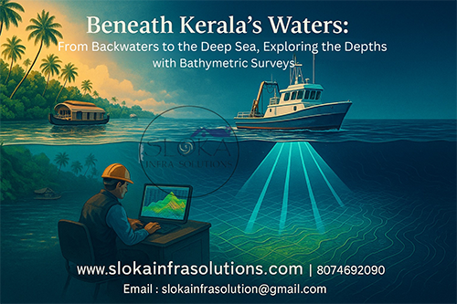
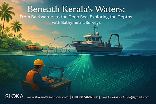
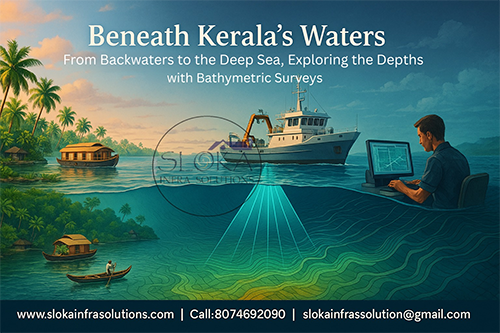
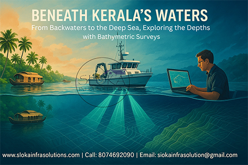
Blog Title :- Beneath Kerala’s Waters :From Backwaters to the Deep Sea, Exploring the Depths with Bathymetric Surveys
Bathymetric Survey in Kerala
Bathymetric Survey in Kerala: Mapping the Depths of God’s Own Country
Kerala, often dubbed God’s Own Country, is famed for its lush greenery, tranquil backwaters, extensive river networks, and a 590-kilometer coastline. But beneath the serene surface of its water bodies lies a dynamic world that holds immense value for development, conservation, and disaster preparedness. Bathymetric Survey in Kerala is the process through which this hidden underwater landscape is revealed, enabling informed decisions in infrastructure planning, environmental management, and marine safety.
Top Bathymetric Survey and Surveyor in Kerala
Top Bathymetric Survey and Surveyor in Kerala: Pioneers in Navigating the Underwater Frontier
Top Bathymetric Survey and Surveyor in Kerala utilize advanced technologies like sonar, LiDAR, GPS, and precision data modeling to chart underwater terrains across vital water bodies such as the Arabian Sea, Vembanad Lake, Periyar River, and others. Their services are indispensable for ports like Kochi, hydropower stations in Idukki, and restoration projects in ecologically sensitive wetlands. What sets Kerala apart is its intricate mesh of fresh, brackish, and marine water systems that demand both technical accuracy and local geographic insight.
What Is a Bathymetric Survey?
A bathymetric survey measures and maps the underwater topography of seas, rivers, lakes, and backwaters. Similar to a topographic survey on land, it reveals the shape, contour, and depth of submerged terrain. This data is used to generate Digital Terrain Models (DTMs), 3D seafloor visualizations, and hydrographic charts, providing critical insights for sectors ranging from construction to conservation.
Key Tools and Techniques
- Single-Beam Echo Sounder (SBES) – Well-suited for mapping shallow water bodies such as rivers and smaller lakes like Sasthamcotta.
- Multi-Beam Echo Sounder (MBES) – Used in ports like Kochi and Vizhinjam for high-resolution depth mapping.
- Acoustic Doppler Current Profiler (ADCP) – Maps water current speeds and sediment transport in rivers like Bharathapuzha and Periyar.
- LiDAR (Light Detection and Ranging) – Airborne lasers help map shallow estuaries and nearshore zones, like the Kayamkulam backwaters.
- Unmanned Surface Vehicles (USVs) – Remotely operated crafts equipped with sonar, used in flood-prone urban areas like Alappuzha.
Why Kerala Needs Bathymetric Surveys
With 44 rivers, countless lakes, lagoons, and a 590-km coastline, Kerala’s geography is defined by water. These dynamic water systems influence everything from agriculture to transportation and climate resilience.
Key reasons for deploying bathymetric surveys in Kerala include:
- Monitoring sedimentation in reservoirs
- Maintaining inland waterways and ports
- Guiding flood mitigation plans
- Supporting eco-tourism and conservation
- Planning coastal infrastructure and erosion control
Applications of Bathymetric Surveys in Kerala
1. Port and Harbor Maintenance
Kerala’s bustling ports—Kochi, Beypore, and the under-construction Vizhinjam International Seaport—require continuous bathymetric assessments.
- Identify siltation zones for dredging.
- Prevent ship grounding by monitoring depth variations.
- Plan dock and wharf expansions efficiently.
Bathymetric Survey in Kerala at Kochi Port ensures navigational safety amid high traffic and sediment movement from the Periyar River mouth.
2. Inland Waterway Maintenance
Kerala’s backwaters, including Vembanad, Ashtamudi, and Kayamkulam, are central to tourism and cargo movement:
- Surveys support houseboat route safety and sediment removal planning
- Used by the National Waterways project to enhance cargo traffic potential.
3. Flood Risk Assessment
With monsoon-fed rivers like Pampa, Meenachil, and Chalakudy, Kerala faces frequent flooding. Bathymetric surveys help:
- Model floodplains and water retention zones.
- Design embankments and check dams.
- Predict overflow points and urban waterlogging areas.
During the 2018 Kerala floods, bathymetric data was vital for mapping inundation zones and guiding rescue and relief operations.
4. Reservoir and Dam Management
Kerala’s hydropower and irrigation rely on reservoirs like Idukki, Mullaperiyar, and Kakki.
- Assess sediment accumulation.
- Ensure structural integrity through underwater inspections.
- Guide desilting strategies to maintain storage capacity.
Surveyors conduct annual bathymetric checks to evaluate sedimentation in the Idukki Reservoir, aiding in efficient water allocation.
5. Environmental and Ecological Monitoring
Kerala’s unique ecosystems—mangroves in Kannur, coral patches near Lakshadweep corridor, and wetlands like Kuttanad—are sensitive to bathymetric changes.
- Map aquatic vegetation and coral beds.
- Study erosion and sediment transport.
- Aid biodiversity conservation and habitat restoration.
The Top Bathymetric Surveyor in Kerala often collaborate with marine biologists to map biodiversity in estuarine zones like Ashtamudi Lake.
6. Urban Planning and Waterway Restoration
Bathymetric surveys support urban infrastructure by assessing water storage and drainage in cities like Thiruvananthapuram and Kochi.
- Improve drainage planning.
- Restore silted canals and lakes.
- Enhance rainwater harvesting and water security.
The revival of the Vellayani Lake near Trivandrum involved extensive bathymetric profiling to identify desilting requirements and restore ecological balance.
Survey Techniques Used in Kerala
Single-Beam Echo Sounder (SBES)
Used in small lakes and narrow canals (e.g., Sasthamkotta), this method provides vertical depth data and is cost-effective for limited-area surveys.
Multi-Beam Echo Sounder (MBES)
Deployed in large and complex water bodies like Vembanad Lake or Kochi Port, MBES covers wide swaths with high-resolution data.
Acoustic Doppler Current Profiler (ADCP)
Essential for river flow modeling, particularly in Periyar and Pamba, ADCP measures current velocities and sediment movement.
LiDAR Bathymetry
Ideal for shallow, clear waters—used along Kerala’s coasts (e.g., Alappuzha) during dry seasons to map the intertidal zones.
USVs (Unmanned Surface Vessels)
USVs navigate narrow or hazardous zones such as Kuttanad’s paddy field canals, minimizing human risk and collecting data in inaccessible stretches.
Unique Challenges in Kerala
Kerala’s geography is a mix of coastal lowlands, midland plains, and highland river sources, which poses several survey challenges:
- High Sedimentation: Monsoon runoff accelerates siltation in reservoirs and riverbeds.
- Vegetative Obstruction: Dense aquatic plants can affect sonar readings.
- Tidal Influences: Backwaters are sensitive to tidal variations, especially during lunar cycles.
- CRZ Regulations: Coastal surveys require permissions under Coastal Regulation Zone guidelines.
To overcome these, bathymetric surveyors in Kerala use adaptive methods such as high-frequency echosounders and real-time kinematic (RTK) GPS for enhanced accuracy.
Workflow of a Bathymetric Survey
1. Planning
- Identify objectives: flood mapping, port dredging, habitat monitoring.
- Select tools: MBES for deep water, LiDAR for coastal mapping.
2. Survey Design
- Choose transect layout and data collection grid.
- Establish GPS control points for geospatial alignment.
3. Data Collection
- Use sonar and sensors via boats or drones.
- Record water depth, sediment layers, and current flow.
4. Processing and Analysis
- Correct data for tides and sound velocity.
- Create 2D maps, 3D models, and sediment load calculations.
5. Reporting and Delivery
- Provide actionable insights via GIS dashboards.
- Submit digital charts, reports, and project-specific recommendations.
Case Studies: Bathymetric Survey in Action
Vembanad Lake Restoration
India’s longest lake and a Ramsar wetland, Vembanad suffers from pollution and siltation. A bathymetric survey revealed the lake had lost over 30% of its average depth in critical zones, prompting desilting and policy reforms.
Kochi Port Dredging
Biannual MBES surveys help the Kochi Port Trust maintain navigable depths by identifying high-siltation areas. Data is used to optimize dredging cycles, improving operational efficiency and reducing costs.
Flood Management in Kuttanad
Surveying the Pampa, Achankovil, and Manimala rivers provided vital data for modeling flood behavior in this low-lying region. Bathymetric information is integrated into real-time monitoring systems to support operations during the monsoon season.
Mangrove Mapping in Kannur
Bathymetric and LiDAR surveys mapped shallow backwater zones to identify suitable mangrove replantation zones. These efforts supported climate resilience in northern Kerala’s coastal districts.
Integration with GIS and Modern Technologies
Modern bathymetric surveys in Kerala are not just about collecting depth data—they are about visualizing change.
The Impact of Geographic Information Systems (GIS) on Transformation:
- Overlay bathymetry with rainfall and tide data.
- Predict flood impact areas in cities like Alappuzha.
- Track long-term coastal erosion trends.
- Monitor backwater navigability for inland waterway transport (IWAI).
By integrating real-time weather data with historical bathymetry, authorities can make data-driven decisions during cyclones, monsoons, and tsunamis.
Major Water Bodies Benefiting from Bathymetric Surveys
- Vembanad Lake: Largest brackish water lake; used for flood modeling, tourism, and ecological monitoring.
- Ashtamudi Lake: Crucial for eco-tourism and fisheries; MBES maps help plan sustainable boating.
- Periyar River: Source of water and power; surveyed for silt buildup and flood predictions.
- Pamba River: Key to Sabarimala route; monitored for water levels and disaster readiness.
- Idukki Reservoir: High-altitude dam area; sediment profiling informs power operations.
The Future of Bathymetric Survey in Kerala
As technology advances, the scope of bathymetric Survey will only expand. Upcoming developments include:
Machine Learning for Seafloor Classification: Predict seafloor types using satellite data without ground-truthing.
Autonomous Underwater Vehicles (AUVs): Deployable in deep-sea mapping and shipwreck identification.
Drone-Based Bathymetry: Lightweight drones fitted with sonar for inaccessible lakes and canals.
Cloud-Based Bathymetry Platforms: For easier access and sharing among departments.
Eco-Bathymetry: Blending bathymetric data with ecological indicators for sustainable water management.
Conclusion
From preserving biodiversity in Ashtamudi Lake to ensuring smooth container traffic at Kochi Port, Bathymetric Survey in Kerala is pivotal for shaping the state’s water-centric future. Whether you’re a government body, environmental NGO, port authority, or infrastructure developer, bathymetric data is your gateway to smarter planning and sustainable action.
By choosing the Top Bathymetric Survey and Surveyor in Kerala, you gain more than just maps—you gain expert knowledge, real-time insights, and a foundation for long-term resilience. As Kerala continues to evolve with the tides, underwater intelligence will remain its hidden ally.