Bathymetric Survey for Reservoirs in Telangana
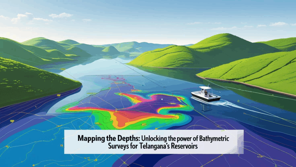
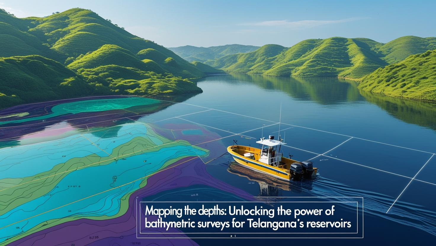
Mapping the Depths: Unlocking the Power of Bathymetric Surveys for Telangana’s Reservoirs
Bathymetric Survey for Reservoirs in Telangana
Bathymetric Survey for Reservoirs in Telangana is the cornerstone of modern water resource management in the state, where monsoon-fed catchments and peninsular plateau geology combine to create a complex network of reservoirs that sustain agriculture, drinking water, industry, and burgeoning floating solar projects. From the iconic Nagarjuna Sagar and Sriram Sagar to regional lifelines like Himayat Sagar, Osman Sagar, and the Upper and Lower Manair Dams, Telangana’s reservoirs face relentless sedimentation, fluctuating inflows, and growing demands on storage capacity. Accurate underwater mapping through bathymetric surveys not only quantifies how much water lies beneath the surface but also reveals sediment deposition patterns, informs dredging strategies, and underpins infrastructure planning—ensuring that every drop counts in a water-scarce region.
Best Bathymetric Survey for Reservoirs in Telangana
Best Bathymetric Survey for Reservoirs in Telangana begins with a carefully crafted survey plan that tailors cutting-edge techniques to the state’s unique hydrogeology, reservoir morphology, and operational requirements. Whether deploying single-beam echo sounders on smaller tanks in the Hyderabad Metropolitan Region or multi-beam sonar arrays on large impoundments like Nagarjuna Sagar, surveyors must integrate GNSS-enabled vessel tracking, sound speed profiling, and advanced data filtering to deliver centimeter-accurate depth models. By embedding the H2 keyword in this section, we underscore the importance of choosing the right technology and methodology for each reservoir’s size, depth range, and intended use—be it sediment management, hydropower optimization, or floating solar installation.
1. Telangana’s Reservoir Landscape and the Need for Bathymetry
Telangana’s semi-arid climate drives dependence on reservoirs that capture monsoon rains during the June–September southwest monsoon. Major systems include
- Nagarjuna Sagar on the Krishna River: One of the world’s largest masonry dams, with a gross storage capacity of 11.56 billion m³ and vital irrigation canals.
- Sriram Sagar on the Godavari River: Holding 9.45 billion m³, this reservoir supports the famous Kakatiya Canal network.
- Himayat Sagar & Osman Sagar near Hyderabad: Smaller but critical for urban water supply, facing rapid sedimentation due to urban runoff.
- Upper and Lower Manair Dams: Key irrigation resources in Karimnagar and Nizamabad districts.
Sediment loads from the Deccan plateau, coupled with catchment erosion during intense monsoons, reduce storage capacity by up to 1–2% annually. Without precise bathymetric data, reservoir operators rely on outdated design curves, risking water shortages, infrastructure damage, and inefficient power generation.
2. Core Objectives of a Bathymetric Survey
A comprehensive survey in Telangana aims to
1.Accurate Capacity Assessment
- Create comprehensive depth maps to accurately determine the current live and dead storage capacities of the reservoir.
- Establish baseline models for future comparisons
2.Sedimentation Monitoring
- Map sediment thickness and spatial distribution.
- Quantify siltation rates to plan targeted dredging or silt extraction.
3.Water Quality Correlation
- Identify zones of high turbidity and stagnation.
- Combine underwater depth data with water sample analysis to evaluate the concentration and distribution of nutrients.
4.Floating Solar Panel Site Planning
- Select locations with uniform depth and gentle slopes.
- Ensure anchoring systems avoid interference with aquatic habitats.
5.Infrastructure and Safety Planning
- Chart underwater pipelines, intakes, and spillways.
- Detect scour holes near piers or around outlet works.
3. Survey Planning and Pre-Survey Preparations
3.1. Defining Survey Objectives and Coverage
Every reservoir demands a tailored plan:
- Small irrigation tanks (≤10 ha) may use single-beam surveys along systematic transects spaced 10–20 m apart.
- Large dams (hundreds to thousands of hectares) require multi-beam echo sounding with overlapping swaths for full-coverage mapping.
3.2. Environmental and Safety Assessments
- Seasonal Water Levels: Conduct surveys at pre-monsoon low water to maximize exposed areas and data quality.
- Turbidity and Flow: Schedule during lean flows to minimize acoustic noise; consider turbidity probes to log suspended sediment.
- Permitting and Stakeholder Coordination: Secure clearances from irrigation and environment departments; liaise with local communities and fisheries.
3.3. Equipment Selection and Calibration
- Echo Sounders: Choose frequencies (200 kHz vs. 50 kHz) based on depth range and required resolution.
- GNSS/RTK Systems: Ensure horizontal accuracy within 2–5 cm.
- Sound Speed Profilers: Acquire vertical profiles of temperature, conductivity, and depth (CTD) to correct beam refraction.
4. Survey Execution Methods
4.1. Single-Beam vs. Multi-Beam Echo Sounding
- Single-Beam: Cost-effective, suitable for smaller basins. Depth readings along transects yield sparse point clouds.
- Multi-Beam: High-density swaths covering up to 120° fan angles, ideal for large reservoirs like Sriram Sagar or Nagarjuna Sagar.
4.2. Remote-controlled surface vessels (USVs) and self-guided underwater drones (AUVs).
- USVs: Electric or solar-powered craft fitted with multi-beam systems—perfect for shallow shoreline zones and smaller tanks.
- AUVs: Deployed for deep or hazardous areas near dam outlets, capturing high-resolution bathymetry without risking personnel.
4.3. Supplementary Techniques
- Side-Scan Sonar: Detects objects beneath the water such as sunken debris, aquatic plant growth, and the contours of the reservoir bed
- LiDAR Bathymetry: Airborne green-laser systems for clear, shallow waters; complements sonar data along littoral zones.
5. Data Processing and Quality Control
5.1. Sound Speed Corrections and Refraction Modeling
Adjust raw depth readings using CTD-derived sound speed profiles to achieve vertical accuracy within ±5 cm.
5.2. Point Cloud Filtering
Remove spurious spikes and outliers through automated statistical filters and manual editing.
5.3. DEM Creation and Contouring
- Interpolate filtered points into a 3D Digital Elevation Model (DEM).
- Extract contour intervals (e.g., every 1 m) and cross-sections for volume calculations.
5.4. GIS Integration and Visualization
- Overlay bathymetric layers on satellite imagery and topographic maps in GIS platforms (e.g., ArcGIS, QGIS).
- Generate interactive 3D fly-throughs for stakeholder presentations.
6. Capacity Assessment and Sediment Volume Estimation
- Accurate volume computations hinge on baseline and repeat surveys:
- Baseline Survey: Establish initial storage curves and reference DEM.
- Follow-Up Surveys: Subtract successive DEMs to quantify volumetric loss due to sedimentation.
- Targeted Dredging Plans: Identify hotspot zones where sediment depth exceeds design thresholds, optimizing mobilization and disposal efforts.
7. Floating Solar Panel Deployment
Telangana’s push for renewable energy has spurred floating solar installations on Himayat Sagar and Osman Sagar. Bathymetric maps enable:
- Uniform Mooring Layouts: Ensuring consistent panel tilt and minimal shading.
- Ecological Safeguards: Avoiding sensitive aquatic vegetation and fish breeding areas near dam walls.
8. Case Studies in Telangana
8.1. Singareni Thermal Power Plant (STPP) Reservoir, Mancherial
A recent multi-beam survey mapped 150 ha of reservoir floor to plan a 10 MW floating solar installation, revealing sediment pockets up to 2 m thick near intake tunnels.
8.2. Himayat Sagar, Hyderabad
A combined single-beam and side-scan sonar survey in 2023 quantified a 30% reduction in live storage over two decades, prompting a state-led desilting initiative.
8.3. Upper Manair Dam, Karimnagar
Autonomous USVs conducted high-resolution surveys across the dam basin, enabling the irrigation department to recommend targeted desiltation along primary canals.
9. Integrating Bathymetry with Water Quality and Hydrodynamics
By overlaying bathymetric DEMs with water quality sampling points (turbidity, pH, dissolved oxygen) and flow measurements (ADCP profiles), reservoir managers can:
- Identify Stagnation Zones: Where low depths and poor circulation foster algal blooms.
- Optimize Aeration and Mixing: Installing diffusers at strategic depths to maintain water quality.
- Enhance Flood Modeling: Calibrating hydrodynamic simulations with precise bed topography for spillway design.
10. Future Trends in Reservoir Bathymetry
- Edge Computing on USVs: Real-time processing of point clouds for immediate QC.
- AI-Driven Sediment Prediction: Machine-learning models forecasting hotspot formation.
- AR/VR Visualization: Immersive stakeholder workshops using 3D reservoir models.
- Eco-Friendly Survey Platforms: Solar-powered USVs and biodegradable sensor housings.
12. Conclusion and Key Takeaways
Bathymetric Survey for Reservoirs is not merely a mapping exercise—it’s an essential tool that transforms reservoir management from reactive maintenance to proactive stewardship. By combining precise depth data with sediment analysis, water quality insights, and hydrodynamic modeling, stakeholders can:
Accurately assess and restore storage capacity
Monitor and manage sediment deposition
Plan sustainable floating solar and infrastructure projects
Safeguard water quality and ecological health
Leverage emerging technologies for real-time, automated insights
Anchored by rigorous survey planning, cutting-edge technology, and integrated data workflows, Bathymetric Survey for Reservoirs in Telangana and Best Bathymetric Survey for Reservoirs in Telangana together chart a path toward resilient, efficient, and sustainable water resource management—ensuring that Telangana’s reservoirs continue to nourish communities, industries, and ecosystems well into the future.