Top 5 Hydrographic Survey Companies in India
Hydrography, Sonar & Beyond: A Complete Guide to India’s Top Hydrographic Survey Companies
Call: 80746 92090
Top 5 Hydrographic Survey Companies in India:-
Top 5 Hydrographic Survey Companies in India if you’re reading this, you already know that mapping what lies beneath the water’s surface is no small feat. From coastal navigation charts to reservoir capacity studies and offshore infrastructure planning, the demand for precise hydrographic and bathymetric data in India is booming. In this longform guide I’ll walk you through what hydrographic surveys are, why they matter across India’s unique water environments, the key instruments (including an in-depth look at Sub-Bottom Profilers and Side-Scan Sonar), the roles of institutions and private players, and how surveyors put it all together. Whether you’re a policymaker, project manager, student, or maritime enthusiast, this post gives you a complete, human-tone tour of modern hydrography in India — practical, vivid, and actionable.
Top 5 Hydrographic Surveyors in India
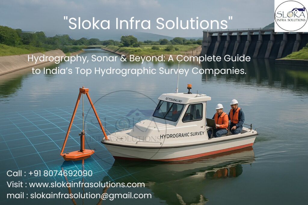
Top 5 Hydrographic Surveyors in India before we dive deeper, let’s set the stage: India’s hydrographic capability is a mix of strong public institutions (naval hydrographic services, research institutes) and an expanding private sector that handles engineering, environmental, and commercial survey work.Private firms supply specialized vessels, multibeam systems, survey teams and GIS deliverables for ports, pipelines, dredging, renewable energy and environmental projects. If you need a map that’s trustworthy, you’ll want to pick teams that combine certified training, modern kit, and a track record across India’s diverse waterbodies.
What is a Hydrographic survey?
Hydrographic surveying (often called bathymetry when the prime deliverable is water depth) is the science of measuring and mapping underwater topography and related features. That includes depths, bottom morphology, obstructions (shipwrecks, pipelines), sediment types, and sometimes short-term phenomena like currents or turbidity. Outputs range from nautical charts for safe navigation to high-resolution 3D Digital Elevation Models (DEMs) used in engineering (dredging, breakwater design), environmental monitoring (habitat mapping, siltation studies), and renewable energy (site assessment for offshore wind, tidal devices). Modern hydrographic surveys typically integrate echo-sounders, multibeam sonars, side-scan imagery, sub-bottom profiling, GNSS positioning and GIS workflows to create accurate and verifiable datasets.
Why India needs accurate hydrography right now?
India’s coastline exceeds 7,500 km and is threaded with estuaries, backwaters, mangrove belts, deltas, major river systems (Ganga, Brahmaputra, Godavari, Krishna), inland reservoirs and thousands of lakes. Rapid port development, larger commercial vessels, coastal infrastructure projects, offshore renewable ambitions and the need for resilient flood and reservoir management make modern bathymetric intelligence essential. Recent Indian projects — from reservoir bathymetry for floating solar platforms to urban lake assessments — underscore the wide range of real world uses for these surveys. Accurate hydrographic data reduces risk, informs dredging, avoids cost overruns and supports environmental stewardship.
Types of hydrographic surveys:-
1.Nautical charting / Coastal surveys: Ensures safe navigation in harbours, fairways and approaches.
2.Bathymetric mapping (reservoirs & lakes): Measures volume, siltation rates and informs dredging decisions.
3.Seafloor mapping for engineering: Foundations for ports, breakwaters, pipelines and offshore installations.
4.Environmental & habitat surveys: Benthic habitat classification, eelgrass/mangrove mapping, pollutant assessment.
5.Geophysical surveys (sub-bottom): Imaging sediment layers and buried objects — crucial for pipeline routing and archaeology.
6.Search, salvage & forensic surveys: Locate wrecks, debris or lost objects using side-scan and high-resolution imaging.
Each project requires a tailored mix of sensors, vessel/platform choice and processing workflows.
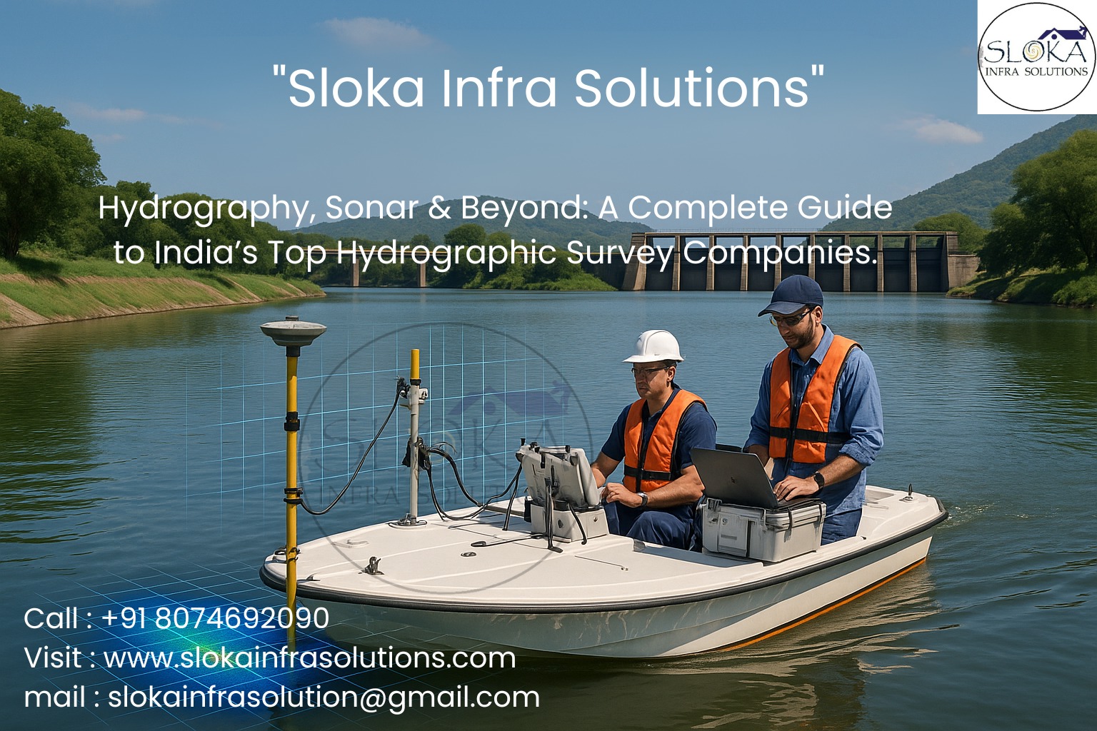
Core instruments & methods:-
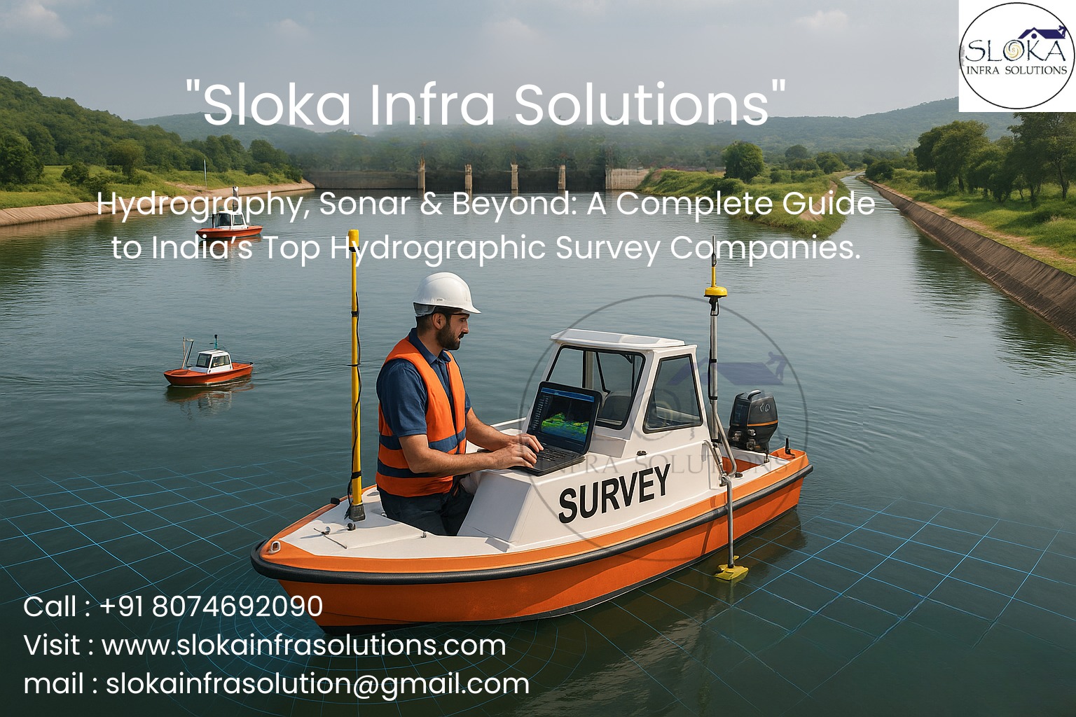
1.Single-beam echo sounder: Simple depth sounding along a trackline — still useful for small waterbodies and quick checks.
2.Multibeam echo sounder (MBES): Produces dense depth soundings across a wide swath — the backbone of modern bathymetry.
3.Side-scan sonar: Produces high-resolution images of seabed texture and objects — ideal for detecting debris, wrecks, cables. (More below.)
4.Sub-bottom profiler (SBP): Sends low-frequency pulses that penetrate sediments to image subsurface layers — essential for sediment depth, buried objects and stratigraphy. (Detailed section below.)
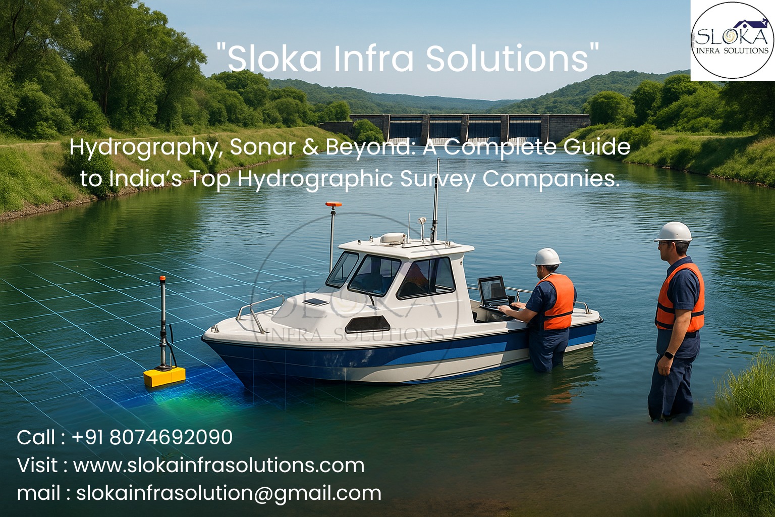
5.GPS/GNSS & inertial systems: Provide precise positioning and vessel motion compensation — indispensable for survey accuracy.
6.CTD / Water column sensors: Capture sound velocity, temperature and salinity needed to correct acoustic travel times.
7.Software & GIS: Clean, process, QC and deliver charts, DEMs, and vector products.
Sub-Bottom Profilers:-
A Sub-Bottom Profiler (SBP) is a geophysical tool that images the layers beneath the seafloor by sending controlled acoustic energy into the seabed and recording echoes returned from interfaces between sediments and rock layers. Unlike echo-sounders that map only the seafloor surface, sub-bottom systems (often Chirp SBPs for good vertical resolution) reveal sediment thickness, stratification, buried objects (old channels, pipelines, cables, archaeological features) and compacted layers — information that’s vital before seabed engineering or trenching work. In practice, an SBP is usually towed or hull-mounted; it emits a pulse that travels through the water column, penetrates the seabed (depending on frequency and substrate), and reflects off layers that differ in acoustic impedance. Hydrophones in the towfish or topside record the time-series return; post-processing converts that into stratigraphic cross-sections.
Why SBP matters for Indian projects: India’s coasts and inland reservoirs are subject to complex depositional histories (riverine sediments, deltaic sequences, anthropogenic fill). Before laying a pipeline, anchoring a renewable-energy foundation, or assessing reservoir siltation, project teams must know how deep unconsolidated sediments extend and whether compacted layers or boulder horizons exist. SBP data influence foundation design, dredge planning, and environmental risk assessments — and can prevent costly surprises (e.g., hitting buried debris or unexpected dense layers). Modern SBP systems (like CHIRP) offer a trade-off: higher frequencies give finer vertical detail but shallower penetration; lower frequencies penetrate deeper but with coarser resolution. Good survey practice pairs SBP with cores or grab samples for ground-truthing, creating a reliable geological baseline for engineering and environmental decisions.
Side-Scan Sonar:-
Side-scan sonar is the detective camera of the seafloor. Rather than measuring depth directly, it sends fan-shaped acoustic pulses to the sides of a towfish or hull-mounted head and records the intensity of the returned echoes to build a grey-scale image — a sonogram — that represents seabed texture, objects and relief. Side-scan is superb at revealing debris, wrecks, rock outcrops, pipeline alignments, and areas of soft vs. hard seabed. It’s commonly flown together with multibeam data: MBES gives you the topography in 3D, while side-scan shows the photographic-style texture and targets that might not change depth much but are critical hazards or points of interest.
Operationally, side-scan systems are selected for frequency (higher frequencies like 400–900 kHz offer high resolution for shallow work; 100–300 kHz reach farther but with lower detail) and tow depth. A well-conducted survey tunes towfish altitude, track overlap and slant range to avoid blind spots and geometric distortion. After data collection, analysts mosaic the slices into swaths and annotate targets; targets can then be investigated by ROV, grab sampling, divers, or MBES bathymetry. In India, side-scan sonar has been used for port safety inspections, pipeline route surveys, archaeological searches in coastal areas and inland reservoir debris mapping. When combined with accurate GPS and position-referenced mosaics, side-scan delivers searchable, visual maps that make permits, dredging, and salvage planning far safer and more efficient.
Survey workflow — from planning to final deliverables
Scoping & planning: Define objectives, accuracy requirements, environmental constraints, tidal windows, and sensor mix.
Mobilization & calibration: Install MBES, SBP, side-scan, GNSS/IMU and run patch tests; collect sound velocity profiles (SVP).
Field acquisition: Follow planned transects with defined overlap; monitor data quality in real time; capture meteo and tidal logs.
Processing & cleaning: Apply motion, tide, SVP and sound speed corrections; filter noise, remove spikes and outliers.
Ground-truthing: Grab samples, cores, ROV / drop camera imagery or diver inspections to validate acoustics.
Deliverables: Bathymetric DEMs, contour charts, soundings, side-scan mosaics, sub-bottom profiles, report with methods and QC metadata.
Good deliverables always include a QC log, metadata, and machine-readable formats for GIS workflows.
Choosing a hydrographic survey partner:-
- Track record & references: Have they done similar projects in India (coastal, reservoir, river)? Ask for sample deliverables.
- Platform & sensor fit: Do they use multibeam, SBP and side-scan appropriate to your depth and objectives?
- QC & metadata: Are SVPs, patch test logs, tide corrections and processing reports provided?
- Certifications & training: Do survey leads have recognized hydrographic qualifications?
- Ground-truth capability: Can the team collect cores, grabs or ROV/video when acoustic signatures are ambiguous?
- Data formats & interoperability: Will the data integrate with your GIS/engineering tools?
- Safety & environmental compliance: Understand the environment (mangrove zones, protected areas) and check permits.
How hydrography supports specific Indian use cases?
Ports & harbours: Deeper-draft ships and port expansion require precise depth models and real-time dredge monitoring.
Reservoir management & floating solar: Bathymetry quantifies storage capacity and siltation affecting water availability and floating solar foundations. (Example: recent Indian reservoir bathymetry used for floating solar site planning.)
Coastal resilience & disaster planning: Flood modeling and tsunami runup studies rely on accurate nearshore bathymetry and seabed morphology.
Offshore energy & cables: Sub-bottom profiling and side-scan are essential for safe routing and understanding sediment stability.
Environmental remediation and lake revival: City lake surveys (e.g., recent Rabindra Sarobar bathymetry in Kolkata) reveal siltation hotspots and guide eco-dredging.
Picking the “Top 5 Hydrographic Survey Company in India” — practical approach
If you’re shortlisting a “Top 5 Hydrographic Survey Company in India”, don’t be swayed by a headline. Instead, evaluate each potential contractor on: certifications and training of personnel; fleet and sensor inventory (multibeam, SBP, side-scan, GNSS/IMU); portfolio in your project type; QC documentation; and ability to supply both raw and processed formats. Recent industry lists and curated blogs can help identify candidates; then validate them with references and sample deliverables.
Picking the “Top 5 Hydrographic Surveyor in India” (individual experts)
Top hydrographic surveyors in India are often those with formal hydrographic certification, substantial field experience, and competency in processing & interpretation. When hiring individuals, prioritize those with documented survey leads, patch test experience, and familiarity with both coastal and inland environments. You can often find names through professional networks, training alumni rosters and institutional project credits.
Conclusion:-
Hydrographic surveying blends field craft, cutting-edge kit and GIS artistry. In India, where waterways shape livelihoods and infrastructure, accurate underwater maps protect lives, save money, and unlock sustainable development. Whether you’re mapping a city lake for restoration, surveying a port channel, or assessing a seabed for renewable energy, the right team — trained, certified and technically current — makes all the difference. If you’re assembling a shortlist of the Top 5 Hydrographic Survey Companies in India or seeking the Top 5 Hydrographic Surveyor s in India for a complex job, use the practical checklists above, ask for sample data, and validate capabilities against projects similar to yours. Good hydrography is precise, transparent and repeatable — and it pays dividends long after the survey vessel returns to port.
Frequently asked practical questions:-
- How accurate are modern hydrographic surveys? With good vessels, MBES, IMU and sound velocity corrections, horizontal and vertical accuracy can be within decimetres to sub-metre levels depending on depth and project spec.
2.How long does a survey take? Project dependent: small lake surveys can take days; port or coastal campaigns weeks; deep/offshore regional surveys can take months.
3.Do surveys need permits? Yes — coastal work, protected zones, environmental clearances and port approvals are often required. Always check local regulations.
4.How much does a survey cost? Wide range: from modest fees for small single-beam surveys to substantial budgets for offshore multibeam + SBP + side-scan + ROV campaigns. Get detailed quotes.