Hydrographic Survey in Tamil Nadu
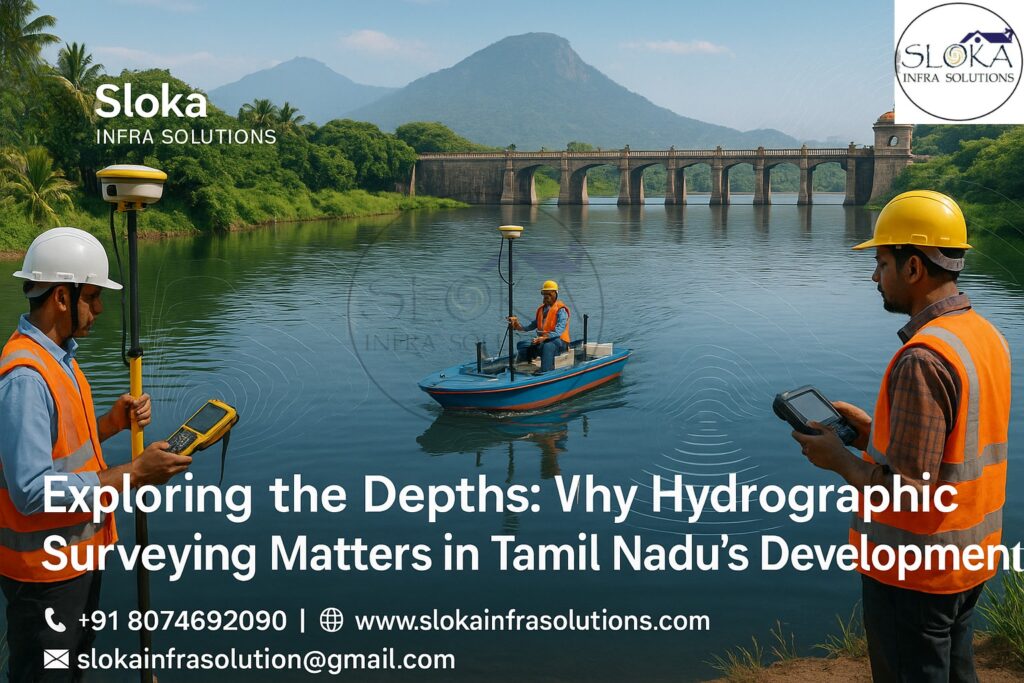
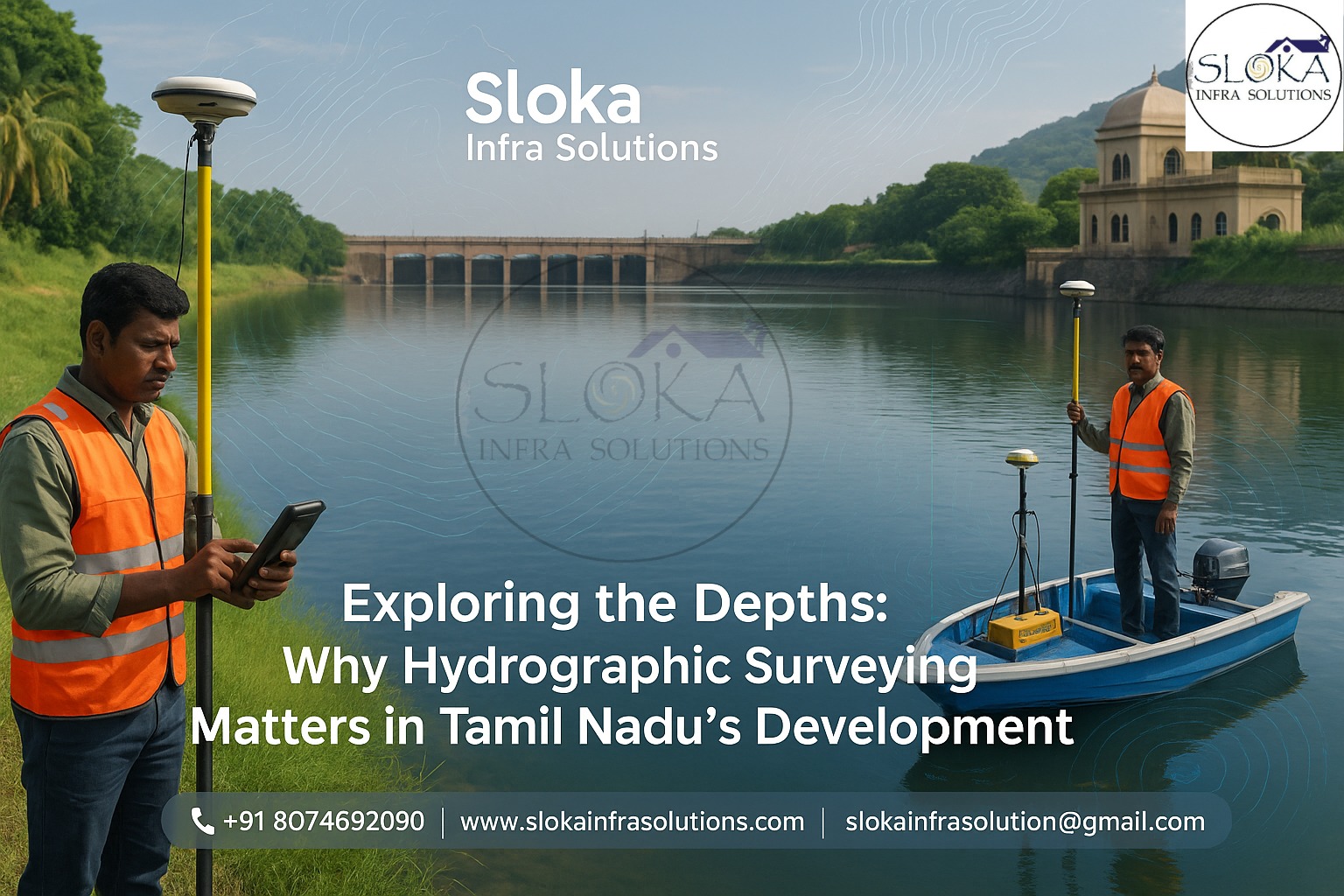
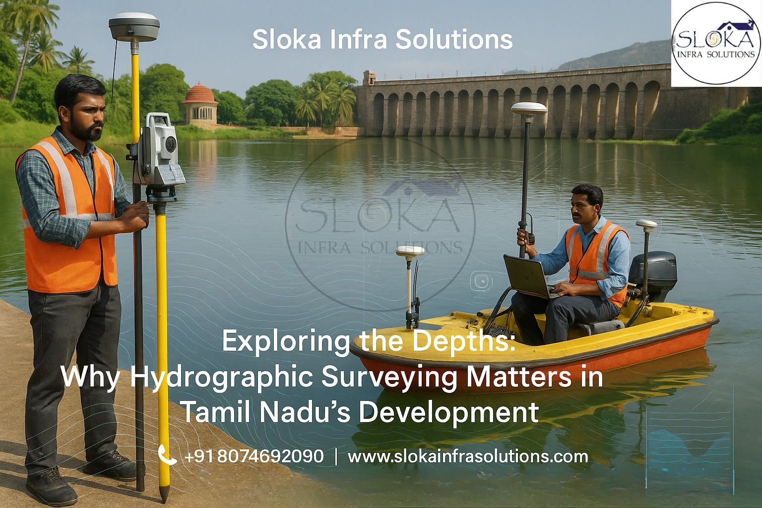
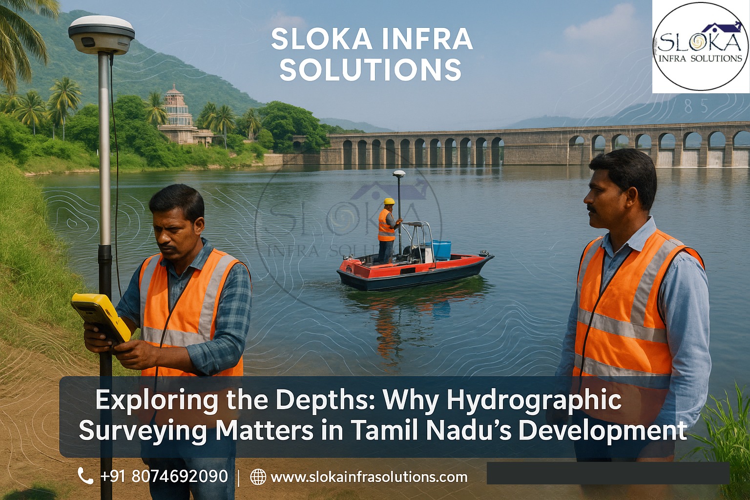
Exploring the Depths: Why Hydrographic Surveying Matters in Tamil Nadu’s Development
Call: 80746 92090
Hydrographic Survey in Tamil Nādu plays a crucial role in understanding, mapping, and managing the state’s diverse underwater and coastal environments. From the Coromandel Coast to the Cauvery Delta, Tamil Nādu’s extensive network of rivers, estuaries, reservoirs, and lagoons makes underwater data essential for navigation, infrastructure development, disaster management, and ecological conservation. Conducting hydrographic surveys here means adapting to dynamic tides, sedimentation, and seasonal changes driven by monsoon cycles, coastal erosion, and human activity.
Top Hydrographic Survey and Surveyor in Tamil Nadu
When project owners or engineers search for dependable underwater mapping services, one term consistently stands out — Top Hydrographic Survey and Surveyor in Tamil Nādu. This represents not just technical excellence but also the reliability, local knowledge, and experience required to handle Tamil Nādu’s varied aquatic terrains.
From port development near Chennai to dredging at deltaic river mouths or mapping submerged archaeological sites, hydrographic surveyors must understand the nuances of monsoon patterns, sediment load, salinity gradients, and shoreline dynamics. This article explores the science, process, and applications of hydrographic surveying, highlighting Sloka Infra Solutions’ key contribution in enhancing Tamil Nādu’s underwater mapping capacity.
Understanding Hydrographic Surveying:-
Hydrographic surveying is the specialized science of measuring and charting underwater physical features such as depth, seabed contours, and subsurface layers. It supports a range of applications including:
Navigation safety for ports and vessels
Infrastructure design such as harbors, jetties, and breakwaters
Sediment and dredging management
Environmental and resource monitoring
Modern hydrographic surveys combine sonar systems, GPS, motion sensors, and advanced data-processing tools to create accurate underwater maps. The workflow includes planning, data acquisition, processing, charting, and validation.
Why Hydrographic surveys are crucial in Tamil Nadu?
Tamil Nādu’s geography features a 1,076 km coastline, numerous rivers, reservoirs, and inland water bodies. Hydrographic surveys in the region are vital for several reasons:
1. Safe Navigation and Port Operations
Ports at Chennai, Ennore, Cuddalore, and Thoothukudi depend on accurate bathymetric charts. Regular surveys identify sedimentation zones, underwater hazards, and channel depth variations to ensure vessel safety.
2. Coastal Infrastructure and Protection
Designing and maintaining seawalls, jetties, or reclamation projects requires data on seabed gradients, sediment composition, and tidal patterns.
3. Dredging and Sediment Control
Rivers like Cauvery, Vaigai, and Tamirabarani transport large sediment loads. Surveys determine deposition zones, optimize dredging schedules, and ensure river mouths remain navigable.
4. Ecosystem and Lagoon Studies
In estuarine systems such as Pichavaram and Muthupet, hydrographic surveys support mangrove conservation, fish habitat studies, and tidal flow management.
5. Reservoir and Tank Management
Many lakes and reservoirs like Poondi and Cholavaram experience siltation. Surveys help calculate storage loss, plan desilting, and assess dam safety.
6. Flood Risk Mitigation
Mapping river cross-sections and flow channels assists in flood modeling and preventive planning during heavy monsoons.
7. Marine Archaeology
Tamil Nādu’s coast holds remnants of ancient ports and submerged structures. Hydrographic surveys aid in their detection and preservation.
Core Stages of Hydrographic Surveying:-
Conducting hydrographic surveys in Tamil Nādu involves the following key steps:
1. Planning and Reconnaissance
Define survey boundaries — coastlines, deltas, estuaries, or reservoirs
Study tides, waves, and currents
Obtain previous survey data or charts
Plan survey lines, overlaps, and equipment setup
2. Calibration and Preparation
Calibrate sonar and GPS systems
Verify tide gauges and sound velocity profiles
Conduct safety and environmental checks
3. Data Acquisition
Deploy Multibeam Echo Sounders (MBES) for depth mapping
Use Side Scan Sonar (SSS) and Sub Bottom Profilers (SBP) for texture and subsurface imaging
Record visual and positional references via DGPS or drone support
4. Data Processing
Clean and filter raw sonar data
Apply motion and tidal corrections
Generate Digital Terrain Models (DTMs) and contour maps
5. Reporting and Charting
Deliver bathymetric charts, hazard maps, and 3D seabed visualizations
Provide metadata, accuracy reports, and comparison with previous surveys
6. Quality Control
Cross-check tie lines
Conduct field verification
Maintain detailed documentation for future re-surveys
Sub Bottom Profilers:-
Sub Bottom Profilers (SBP) are essential instruments for imaging below the seabed, revealing sediment layers, buried structures, or bedrock features. They use low-frequency acoustic pulses that penetrate the seafloor and reflect back from different subsurface layers.
Working Principle
Emit low-frequency acoustic signals into the seabed
Record returning echoes to build vertical cross-sectional profiles
Display sediment layering, compacted strata, or buried objects
Applications in Tamil Nādu
Sediment Analysis: Identifies thickness and composition of deposits in deltas like Cauvery
Geotechnical Studies: Supports pier and breakwater construction by locating firm strata
Archaeological Mapping: Detects buried relics or structures beneath sediment layers
Reservoir Studies: Reveals subsurface layering that influences seepage or stability
Why It Matters
In Hydrographic Survey in Tamil Nādu, SBPs provide crucial insight into subsurface geology — a major factor in foundation design, dredging, and environmental assessments. Integrating SBP data with multibeam results ensures a complete view of both surface and subsurface features.
Side Scan Sonar:-
Side Scan Sonar (SSS) provides high-resolution imagery of the seafloor using sound reflections. Unlike depth-focused systems, it highlights texture, obstacles, and material changes.
Operating Method
Emits acoustic pulses to both sides of the vessel or towfish
Measures backscatter intensity to produce detailed seafloor images
Creates a continuous mosaic of the surveyed area
Applications in Tamil Nādu
Obstacle Detection: Identifies wrecks, rocks, or debris near Cuddalore or Nagapattinam
Seabed Texture Mapping: Distinguishes between mud, sand, or rocky beds for engineering use
Dredging Support: Detects obstructions before excavation
Habitat Mapping: Assists in ecological studies of coral or mangrove zones
Importance
In shallow and sediment-rich Tamil Nādu waters, side scan sonar ensures safe navigation and effective resource management. It complements multibeam and SBP data, forming a 3D and visual understanding of underwater terrain.
Challenges in Tamil Nādu’s Hydrographic Surveys
Conducting accurate surveys across Tamil Nādu’s coast and inland waters presents specific challenges:
Tidal and Current Variations: Semi-diurnal tides require timing precision
High Sediment Load: Turbidity affects sonar signal clarity
Shallow Zones: Many lagoons and tanks need small or low-draft boats
Environmental Permissions: CRZ and port authority approvals are necessary
Water Column Variations: Salinity and temperature stratification impact data accuracy
Sensitive Ecosystems: Surveys near mangroves and coral reefs demand minimal disturbance
Overcoming these obstacles requires local expertise, meticulous planning, and reliable instrumentation — areas where regional firms like Sloka Infra Solutions excel.
Sloka Infra Solutions: –
Sloka Infra Solutions has emerged as a trusted name in hydrographic and bathymetric services. The company emphasizes accuracy, advanced technology, and local understanding — qualities essential in a state with complex aquatic environments.
Their expertise?
Comprehensive Services: Bathymetry, Sub Bottom Profiling, Side Scan Sonar, ADCP, and DGPS surveys
Integrated Capabilities: Combining sonar imaging, drone mapping, and real-time data visualization
Why Sloka stands Out?
As a regional player, Sloka Infra Solutions blends technical depth with localized knowledge — offering cost-effective, responsive solutions that align with Tamil Nādu’s topographic and coastal realities. Their continued focus on Hydrographic Survey in Tamil Nādu positions them among the Top Hydrographic Survey and Surveyor in Tamil Nādu, bridging technology and regional needs with reliability and precision.
Applications across Tamil Nādu:-
Hydrographic surveys directly support multiple developmental and environmental areas:
Port Expansion: Enables safe navigation and dredging for ports like Chennai and Thoothukudi
Delta and River Studies: Assesses shifting channels in Cauvery and Vaigai basins
Lagoon Conservation: Aids mangrove restoration in Pichavaram and Muthupet
Reservoir Management: Measures sedimentation in inland lakes and tanks
Coastal Erosion Control: Provides data for designing protective structures
Archaeological Research: Locates submerged ancient artifacts and ruins
Fisheries Development: Maps seabed habitats for sustainable fishing zones
Best Practices for Tamil Nādu Hydrographic Surveys:-
- Plan surveys during low-tide windows for shallow accessibility
- Conduct frequent sound velocity profiling to ensure depth accuracy
- Maintain overlapping survey lines for complete data coverage
- Use redundant sonar systems for verification
- Coordinate with local fishermen and port authorities to identify hazards
- Implement seasonal re-surveys to capture post-monsoon changes
- Preserve environmental integrity in sensitive coastal ecosystems
- Archive historical survey data for trend analysis
Emerging trends and Future opportunities:-
Tamil Nādu’s coastal and inland hydrography is evolving with technological advances:
1.Autonomous Surface Vessels (USVs): Enable remote, efficient shallow-water mapping
2.Drone-Based LiDAR Bathymetry: Enhances accuracy in clear shallow lagoons
3.AI and Machine Learning: Automates object detection in sonar imagery
4.Cloud-Based Processing: Enables real-time data sharing and analytics
5.Integrated Coastal Zone Modeling: Combines hydrographic data with oceanographic models for predictive studies
6.Community Collaboration: Involving local stakeholders for data validation
These advancements will drive more sustainable, accurate, and cost-efficient hydrographic practices in Tamil Nādu’s waters.
Conclusion:-
Hydrographic Survey in Tamil Nādu is not merely a technical task—it is a foundation for safer navigation, resilient infrastructure, and sustainable management of aquatic resources. From high-tech multibeam mapping to sub-bottom profiling and side scan sonar imaging, each method contributes to a clearer understanding of Tamil Nādu’s diverse marine and inland water systems.
The growing expertise of Sloka Infra Solutions demonstrates how regional specialists can combine technology with local insight to deliver reliable results. As one of the Top Hydrographic Survey and Surveyor in Tamil Nādu, the company continues to strengthen Tamil Nādu’s capacity for underwater mapping and monitoring.
With continuous innovation, proper planning, and commitment to environmental care, the state’s underwater landscapes—from riverbeds to coastlines—can be accurately charted, safeguarded, and leveraged for future generations.