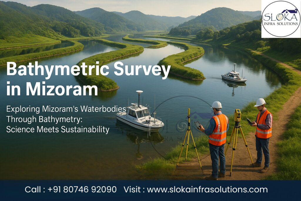
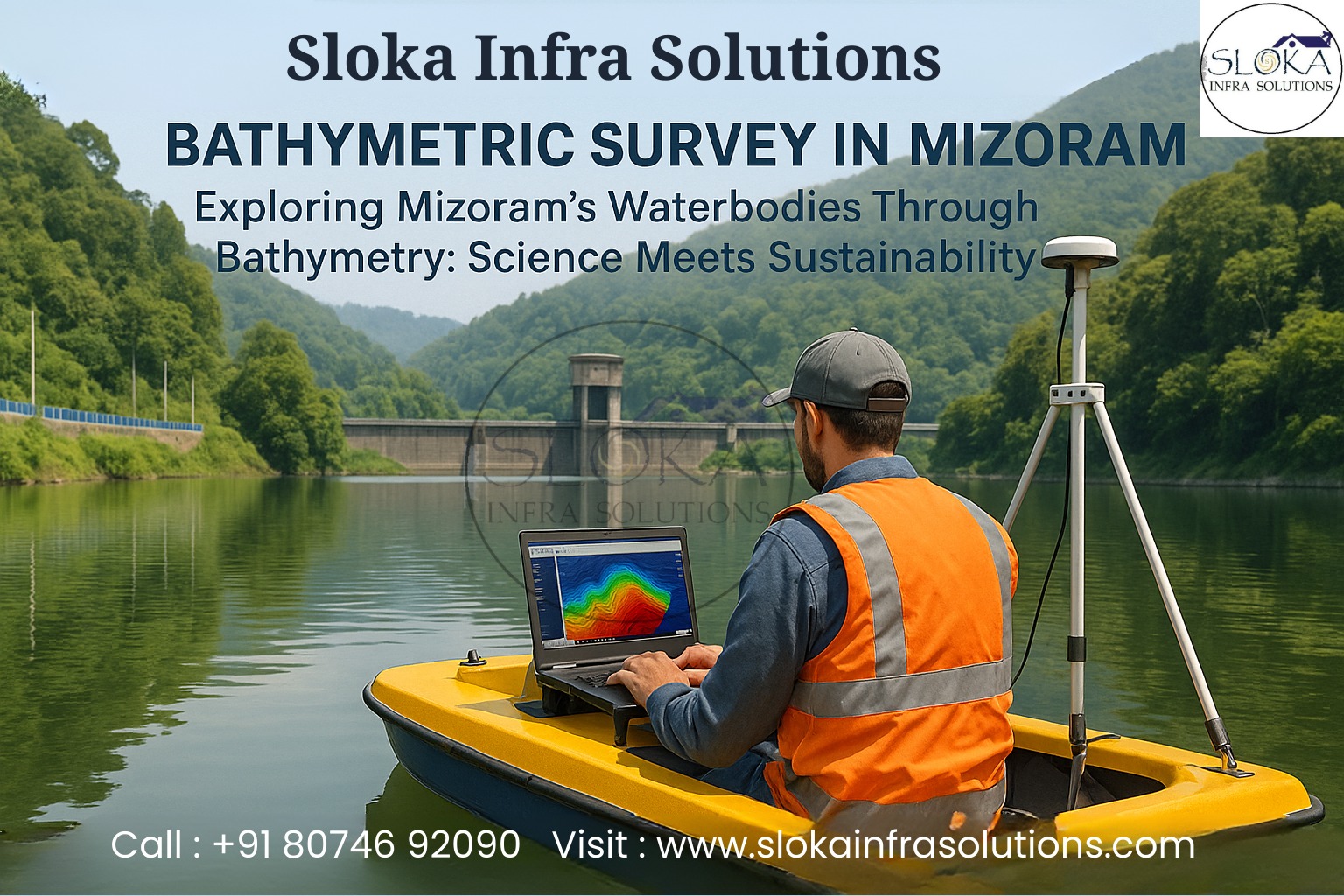
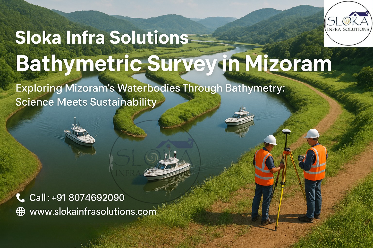
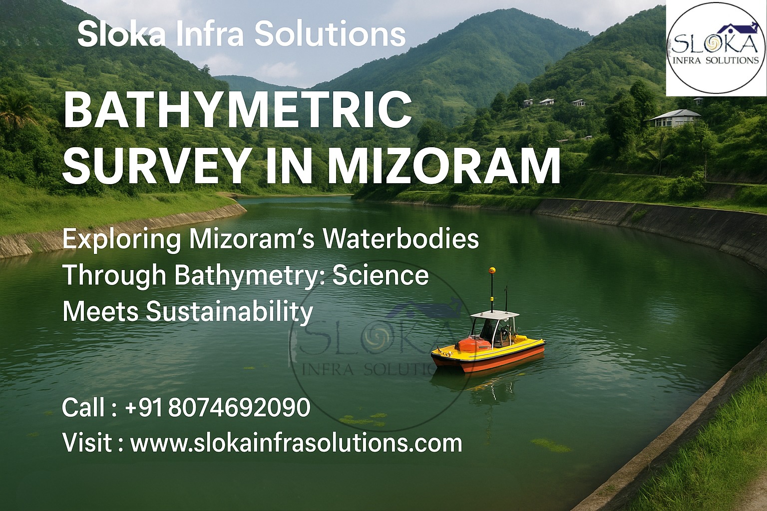
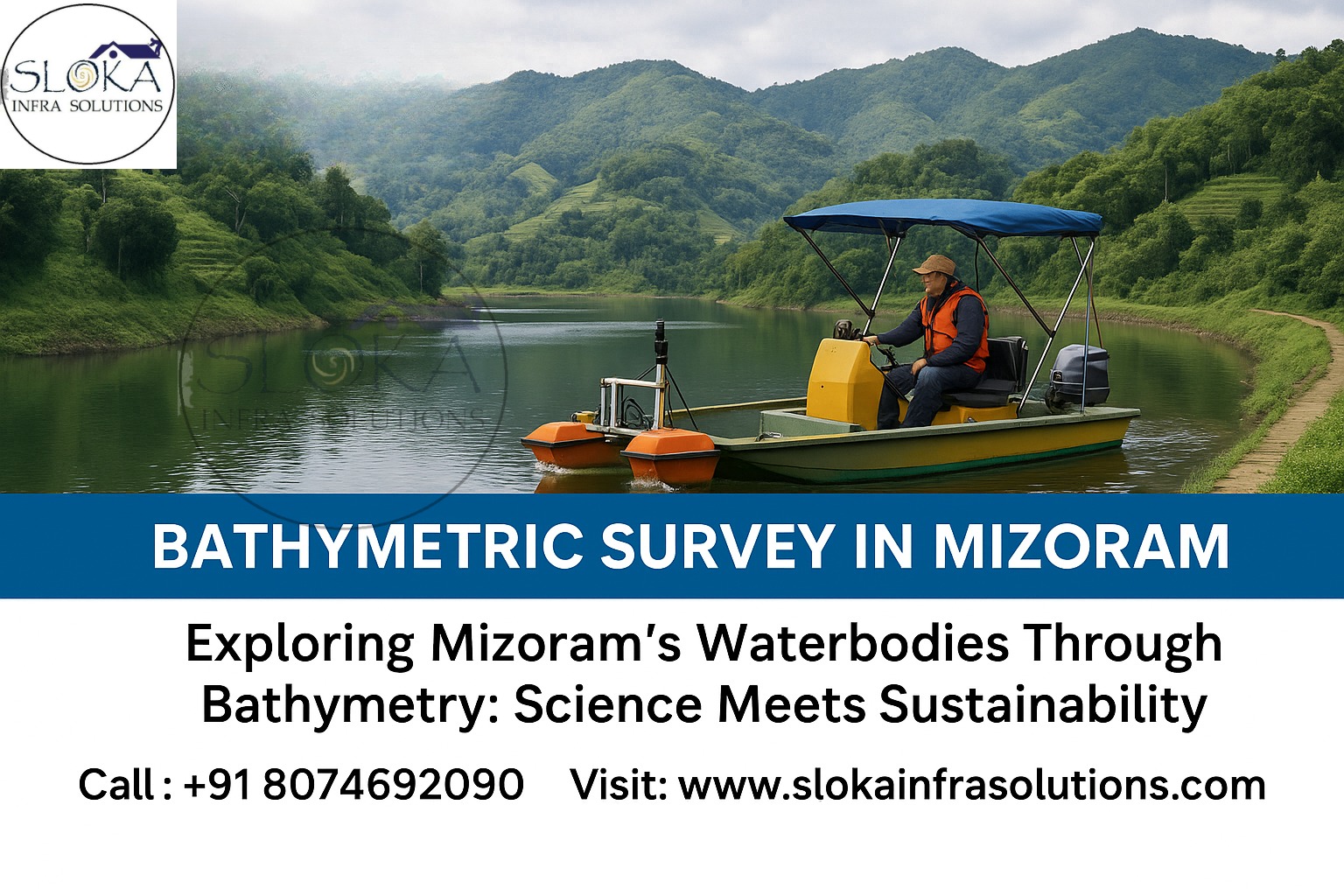
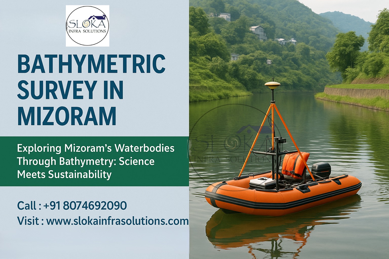
Bathymetric Survey in Mizoram
Call : +91 8074692090
Exploring Mizoram’s Waterbodies Through Bathymetry: Science Meets Sustainability
Bathymetric Survey in Mizoram is an essential scientific exploration that unveils the underwater contours, sediment profiles, and hidden channels of the state’s rivers, reservoirs, and wetlands.Tucked away in the lush hills of Northeast India, Mizoram is blessed with swift rivers like the Tlawng, Tuivawl, Kolodyne (Chhimtuipui), and Tuirial, along with picturesque water bodies such as Serlui B Dam, Tuirial Dam, and the tranquil wetlands of Tam Dil Lake. These water systems are lifelines for drinking water supply, irrigation, fisheries, hydropower, and biodiversity. Yet, beneath their surfaces lie unseen risks—siltation, submerged debris, shifting channels, and sediment build-up—that demand precise mapping. Bathymetric surveys provide this knowledge, helping policymakers, engineers, and conservationists make informed decisions for flood management, hydropower optimization, eco-tourism, and sustainable livelihoods in Mizoram.
Top Bathymetric Survey and Surveyor in Mizoram:-
Top Bathymetric Survey and Surveyor in Mizoram play a critical role in balancing the demands of infrastructure development, water security, and environmental stewardship. With the state’s hilly landscape and rivers prone to monsoon-driven floods and rapid sediment transport, surveyors must combine advanced hydrographic instruments—multibeam echo sounders, single-beam systems, side scan sonar, and sub bottom profilers—with local know-how. Whether it’s measuring silt accumulation in Serlui B reservoir, ensuring safe navigation in Tuivawl and Tlawng rivers, or studying Tam Dil’s sedimentation for eco-tourism planning, surveyors translate the hidden story of water into reliable datasets. By working closely with local authorities and communities, they help Mizoram maintain a sustainable balance between ecological protection and developmental needs.
Why Bathymetry Matters for Mizoram?
With its rugged hills and slender valleys, Mizoram leans deeply on its rivers, streams, and reservoirs as lifelines for water, power, and everyday livelihoods.Here’s why bathymetric surveys are indispensable:
1.Flood Risk Management – Rivers like Tlawng and Chhimtuipui swell dramatically during the monsoon, posing risks of flash floods. Depth profiles feed flood models that improve embankment planning and disaster preparedness.
2.Reservoir & Dam Safety – Major reservoirs such as Serlui B and Tuirial suffer sedimentation that reduces storage capacity. Regular bathymetric checks safeguard dam safety and hydropower efficiency.
3.Wetland & Lake Conservation – Tam Dil, Palak Dil (Mizoram’s largest natural lake), and Rungdil are ecologically vital yet vulnerable to siltation. Mapping their underwater topography helps conserve fish habitats and aquatic biodiversity.
4.Fisheries & Livelihoods – Thousands rely on riverine and lake fisheries. Bathymetric surveys identify spawning grounds and sustainable fishing zones.
5.Infrastructure Development – Bridges, culverts, intake wells, and irrigation structures require precise underwater data to avoid costly engineering surprises.
Mizoram’s Waterbodies – A Surveyor’s Landscape:-
Tlawng River – The state’s longest river, flowing over 185 km, supports irrigation and transport but is prone to sedimentation.
Kolodyne (Chhimtuipui) River – One of Mizoram’s mightiest rivers, crucial for navigation and the proposed Kaladan Multi-Modal Transit Project, requiring regular depth surveys.
Tuirial River & Dam – Hosts one of Mizoram’s key hydropower projects; bathymetric surveys ensure reservoir safety and efficiency.
Serlui B Dam Reservoir – the biggest man-made lake in Mizoram created for hydropower, requires regular checks to track silt buildup
Tam Dil Lake – A natural wetland central to eco-tourism and biodiversity; surveys protect its fragile ecosystem.
Palak Dil – A Ramsar-listed wetland, rich in biodiversity, requiring underwater mapping for conservation planning.
Rungdil & Other Small Lakes – Sacred and culturally important waterbodies that also need careful monitoring to prevent ecological degradation.
Each waterbody demands a customized survey approach: shallow-draft boats for narrow rivers, robust catamarans for larger reservoirs, and flexible techniques for wetland habitats.
Planning a bathymetric survey in Mizoram — field-to-report checklist:-
1.Define objectives clearly — reservoir capacity vs. navigation charting vs. habitat mapping vs. intake design. The objective determines resolution, coverage and instrument choice.
2.Desk study & permits — compile historic contours, satellite imagery and rainfall-runoff patterns; secure permissions from Water Resources, local district authorities and village councils (many waterbodies are community-managed).
3.Choose platforms — low-draft inflatables, catamarans for larger reservoirs, or pole-mounted sensors for very shallow, vegetated wetlands. In rugged hill-country, portability is as vital as instrument precision.
4.Instrument mix — GNSS (RTK/PPK) for positioning, single-beam or multibeam echo sounders for depth, side scan sonar for texture and object detection, sub-bottom profilers for sediment layers, and sound velocity profilers for accurate depth correction.
5.Survey design — tighter line spacing in complex or channelized zones, wider spacing in uniform basins; plan pre- and post-monsoon surveys for changes.
6.Ground-truthing — grab samples, core logs or underwater camera checks to validate acoustic interpretations.
7.Processing & QA/QC — tide/water-level corrections, motion compensation, removal of noise (vegetation, bubble clouds), and delta-checks against spot soundings.
8.Deliverables — digital terrain models (DTMs), contour maps, sediment volume estimates, bathymetric charts, side-scan mosaics, sub-bottom profiles and a clear interpretive report.
Equipment Primer
Single-Beam Echosounder – Reliable for linear river transects.
Multibeam Echosounder – Produces wide swath coverage for reservoirs.
Side Scan Sonar (SSS) – Generates detailed floor imagery.
Sub Bottom Profiler (SBP) – Reveals subsurface sediment layers.
GNSS (RTK/PPK) – Provides centimeter-level accuracy.
Sound Velocity Profiler – Ensures depth corrections in varying conditions.
Sub Bottom Profilers:-
A Sub Bottom Profiler (SBP) is like a window into the earth beneath Mizoram’s rivers and lakes. Unlike conventional echosounders that only capture surface depth, SBPs use low-frequency acoustic pulses to penetrate sediment layers and reflect back from deeper strata. This produces a layered profile showing silt thickness, buried channels, compacted clay, or even ancient riverbeds.
In Mizoram, SBPs have transformative applications:
Reservoir Sedimentation Studies – Serlui B and Tuirial reservoirs accumulate silt rapidly due to steep catchments. SBPs reveal storage loss and guide dredging strategies.
Lake Conservation – At Tam Dil and Palak Dil, SBPs help track organic sedimentation and preserve water quality.
River Hydrology – In the Tlawng and Tuivawl rivers, SBPs detect sediment wedges that may alter floodplain hydraulics.
Operationally, SBPs range from chirp systems (ideal for high-resolution shallow studies) to boomer systems (deeper penetration). In Mizoram’s context, surveyors must deal with monsoon turbulence and organic gas bubbles in wetlands, which can distort signals. Cross-validation with sediment cores ensures accuracy.
Why does this matter? By analyzing subsurface layers, planners can design stable intake structures, prioritize dredging zones, and even reconstruct the long-term evolution of Mizoram’s river valleys. For a state where erosion and siltation are constant threats, SBPs provide a scientific basis for sustainable water management.
Side Scan Sonar:-
Side Scan Sonar (SSS) acts as the eyes of bathymetric surveys, creating near-photographic acoustic imagery of riverbeds and lake floors. Instead of simply measuring depth, it captures textures, shapes, and objects—helping surveyors visualize submerged landscapes.
In Mizoram, SSS serves vital functions:
1.Hazard Detection – Identifies submerged boulders, logs, or debris in rivers like Tlawng and Kolodyne, ensuring navigation safety for ferries and fishing boats.
2.Habitat Mapping – At Palak Dil and Tam Dil, SSS differentiates between sandy patches, vegetation mats, and hard substrates critical for fish breeding.
3.Infrastructure Safety – Around dams and bridges, SSS reveals scour holes, dislodged riprap, and potential hazards that could threaten structural stability.
SSS works by sending fan-shaped sound beams sideways; hard surfaces reflect strongly, while soft sediments appear darker. Objects cast acoustic shadows, making hazards easy to spot. Careful line spacing, tow height adjustments, and ground-truthing with underwater cameras improve accuracy.
In Mizoram’s shallow rivers and monsoon-fed lakes, short-cable towed systems or hull-mounted sonar units are preferred. Surveys are best conducted during calmer, post-monsoon conditions.
Ultimately, SSS complements bathymetric and SBP data, offering a three-dimensional perspective: surface depth, sediment layers, and detailed textures. For Mizoram, this means safer navigation, better conservation planning, and more resilient infrastructure development.
Applications of Bathymetric Surveys in Mizoram:-
- Flood Forecasting – Feeding hydrological models for rivers like Tlawng and Kolodyne.
- Reservoir Capacity Assessment – Monitoring siltation in Serlui B and Tuirial dams.
- Eco-Tourism Development – Safe boating and recreational activities in Tam Dil and Palak Dil.
- Fisheries Management – Mapping habitats for sustainable fishery practices.
- Infrastructure Planning – Supporting bridge, intake, and irrigation design.
- Biodiversity Conservation – Protecting wetlands and habitats in Palak Dil and Rungdil.
Challenges in Conducting Surveys:-
- Monsoon Seasonality – Flash floods distort channels, requiring pre- and post-monsoon surveys.
- Steep Catchments – Erosion accelerates sedimentation, complicating depth analysis.
- Accessibility – Remote lakes like Palak Dil pose logistical challenges.
- Community Engagement – Many waterbodies are community-managed, demanding collaboration.
- Data Quality Assurance – Requires cross-checking with sediment samples for reliability.
Conclusion:-
In conclusion, Bathymetric Survey in Mizoram is far more than an underwater mapping exercise—it is the foundation for sustainable water management, disaster preparedness, and ecological balance in the state. By collaborating with a Top Bathymetric Survey and Surveyor in Mizoram, stakeholders gain the insights needed to safeguard dam safety, enhance eco-tourism, conserve wetlands, and protect livelihoods. From the roaring Kolodyne to the serene Palak Dil, these surveys reveal the hidden dynamics of water systems, empowering Mizoram to embrace development while preserving its natural heritage. Accurate bathymetric data is not just information—it is Mizoram’s key to a resilient and water-secure future.