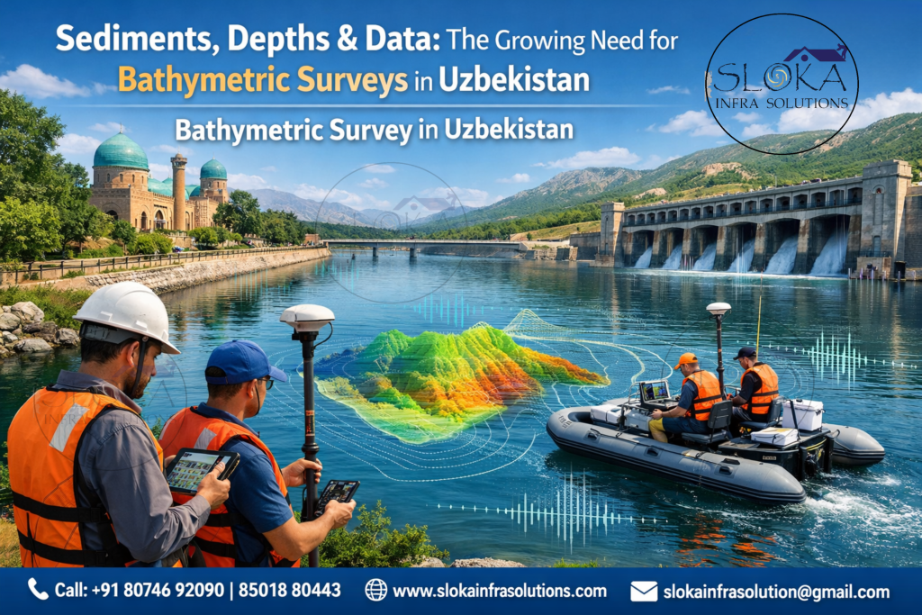
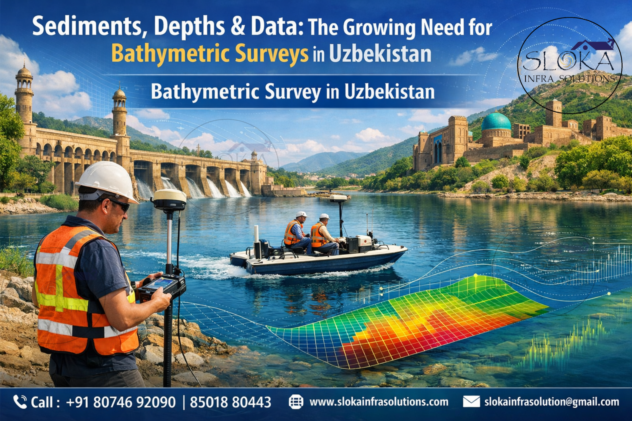
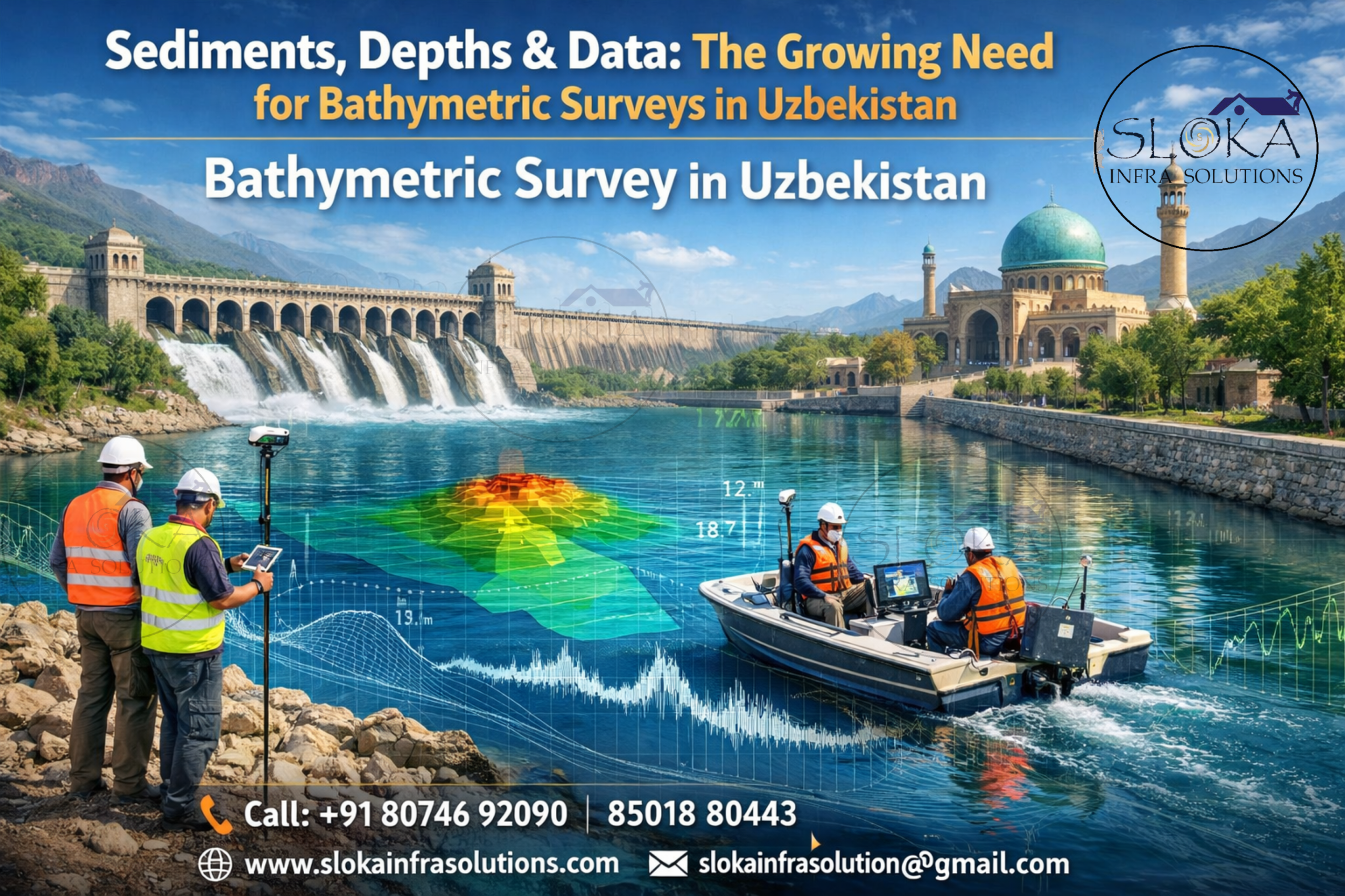
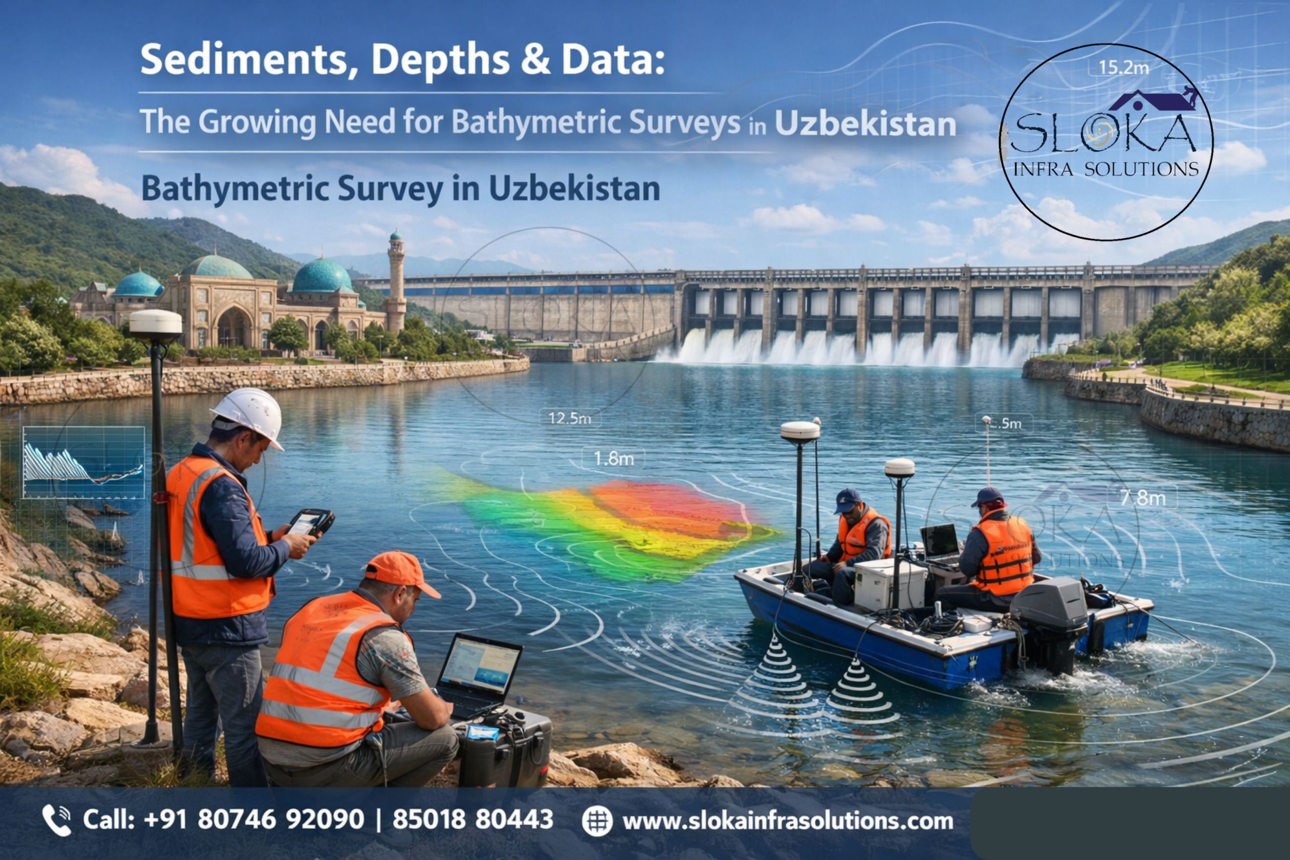
Bathymetric Survey in Uzbekistan
Call: +91 80746 92090
Sediments, Depths & Data: The Growing Need for Bathymetric Surveys in Uzbekistan:-
Bathymetric Survey in Uzbekistan is becoming more important as reservoirs, rivers, canals, and lakes face pressure from sedimentation, fluctuating flows, and growing demands for irrigation and water management. Uzbekistan is landlocked, lies between the Amu Darya and Syr Darya river systems, and relies heavily on inland water bodies; national and regional sources note thousands of kilometres of rivers, extensive reservoir networks, and many reservoirs concentrated in basins such as Syr-Darya, Akhangaran, Zarafshan, Kashka-Darya, and Surkhan-Darya. That makes depth mapping more than a technical exercise: it is part of keeping water storage, navigation, and infrastructure safe and usable.
Top Bathymetric Survey and Surveyor in Uzbekistan
Top Bathymetric Survey and Surveyor in Uzbekistan work is not only about “measuring depth.” It is about understanding how a water body changes over time, where sediment settles, how channels migrate, what hazards appear near intakes and embankments, and how much useful storage remains in a reservoir. The research on Uzbekistan’s reservoirs shows why this matters: the country’s reservoir system is extensive, irrigation-focused, and vulnerable to capacity loss, while the Akhangaran case study demonstrates how sedimentation can steadily reduce total, useful, and dead storage over decades.
Why bathymetry matters in Uzbekistan’s water landscape ?
Uzbekistan’s waters are shaped by contrasts. The mountain-fed eastern basins can be steep, narrow, and sediment-rich, while the lowland reservoirs and canals can be broad, shallow, and heavily managed. In practical terms, that means a single method is rarely enough. A reservoir in the Tashkent, Fergana, or Samarkand regions may need high-precision sonar to calculate storage loss, while a canal feeding agricultural land may need quicker profiling to check silting, bank irregularities, and flow conditions. The country’s irrigation network and the Aral Sea legacy also make water accounting especially sensitive, because small measurement errors can translate into poor operational decisions.
The best bathymetric campaigns in Uzbekistan usually start with a clear question.
1)Is the goal to compute reservoir volume? Detect submerged objects?
2)Trace old riverbeds?
3)Measure sediment thickness?
4)Estimate current velocity and discharge? Or combine all of these in a single survey?
The answer determines whether a project leans toward single-beam sounding, multibeam mapping, side-scan imaging, sub-bottom profiling, or ADCP-based surveys. The state-of-the-art review in the uploaded paper emphasizes exactly this point: bathymetry is now a toolkit, not a single instrument, and each tool has different depth reach, accuracy, and uncertainty.
A survey workflow that fits Uzbek rivers, reservoirs, and canals:-
A strong bathymetric workflow usually begins with planning on the map and ends with a checked surface model. In Uzbekistan, planning has to account for seasonal water level changes, irrigation releases, muddy inflows, access constraints around dams and intakes, and the fact that many reservoirs are shallow enough for sediments to alter the bottom shape rapidly. A sound plan includes control points, tide or level reference where needed, vessel tracks, velocity correction, and a decision about whether the survey should be full-coverage or line-based. The IHO standards stress that survey equipment must be considered as part of a system, including processing, procedures, and personnel, not just the sonar head itself.
That systems approach is especially relevant for Uzbekistan because reservoir management is often tied to irrigation timing. The MDPI reservoir review notes that many Uzbek reservoirs were built for irrigation, most are in the lowlands, and the difference between total and useful storage is already significant at the national level. When sedimentation eats into dead storage, the reservoir becomes less able to trap future sediment and regulate flow. That is why bathymetric surveys are not a one-off task; they are part of long-term asset management.
Importance of Bathymetric Surveys in Uzbekistan:-
Uzbekistan’s geography is dominated by inland water systems rather than oceans. This makes bathymetric surveys especially critical for reservoirs and rivers, which are the backbone of agriculture and energy production.
Key Water Bodies Requiring Surveys
- Amu Darya River – Major irrigation source
- Syr Darya River – Supports agriculture and hydro projects
- Charvak Reservoir – Hydropower and water supply
- Akhangaran Reservoir – Case study of sedimentation impact
- Aydar-Arnasay Lake System – Ecological and water storage importance
Studies on reservoirs like Akhangaran reveal that sedimentation has significantly reduced storage capacity over decades, affecting both operational efficiency and water availability. This highlights the need for regular bathymetric monitoring to predict and manage future losses.
Single Beam Echo Sounder Survey:-
Single Beam Echo Sounder Survey remains one of the most practical methods for inland water bodies in Uzbekistan, especially when the priority is a reliable depth profile along planned transects at a reasonable cost. The method sends one acoustic beam straight down from the boat and records the return time from the bottom. That simple idea is powerful in reservoirs, canals, and river cross-sections where managers need quick estimates of depth, storage change, or bed level trends. The uploaded review explains that single-beam systems were the first major acoustic step forward because they let surveyors collect far more depth data than manual sounding rods, while still staying relatively simple to plan and process.
In Uzbek conditions, single-beam surveying works well where access is limited or where a full bottom map is not yet necessary. It can be used to monitor siltation in tributary mouths, around intakes, near spillways, and across reservoir thalwegs. The main limitation is obvious: it only measures directly beneath the vessel, so gaps remain between lines. In a reservoir like those found in the Syr-Darya or Akhangaran basins, that means the survey density must be chosen carefully. If lines are too wide apart, sediment mounds, scour pockets, and navigation hazards can be missed. The IHO also notes that side-scan or multibeam may be needed when a full bottom search is required.
For many reservoir owners, however, the attraction of single-beam work is not just cost; it is repeatability. A survey can be run along the same transects every season or every year, creating a long-term sedimentation record. That is highly useful in Uzbekistan, where reservoir performance can change because of irrigation demands, inflow variations, and sediment loading from upstream catchments. Single-beam data becomes even more valuable when paired with water level records and drawdown information, because then volume curves can be updated instead of guessed. In other words, the method may be “simple,” but its management value is often very high.
Multibeam Echo Sounder Survey:-
Multibeam Echo Sounder Survey is the method of choice when the project needs near-complete bottom coverage and a detailed digital terrain model. Instead of one beam, multibeam systems fan out many beams across a swath beneath the boat, producing a dense cloud of depth points. The uploaded review explains that multibeam systems evolved from single-beam methods and now provide far greater coverage, resolution, and productivity, making them the preferred technique where the bottom must be mapped comprehensively. IHO guidance also treats multibeam arrays as part of the tools used to achieve “100% bottom search” in appropriate survey orders.
For Uzbekistan, multibeam is especially useful in reservoirs with complex geometry: drowned channels, steep side slopes, old river meanders, intake channels, dredged pockets, and embayment zones can all be captured in much finer detail than with a single line-based method. That matters in water bodies like Charvak-type mountain reservoirs, storage basins linked to the Amu and Syr systems, and operational reservoirs that supply irrigation canals. When engineers need to know not just “how deep” but “how the bed is shaped,” multibeam becomes the most informative solution.
The trade-off is complexity. Multibeam surveys demand careful sound-velocity correction, motion compensation, positioning, and post-processing. They also cost more and require a more experienced crew. But for reservoirs where safety, intake design, sediment routing, or storage calculation is critical, that investment can pay back quickly. A multibeam map can reveal how sediment fans move after floods, where scouring is concentrated, and how dead storage is being consumed. In a country where reservoir storage is central to irrigation security, that level of detail can change operational decisions.
Side Scan Sonar:-
Side Scan Sonar is best understood as the eyes of the survey, not the depth meter. NOAA describes side-scan sonar as an active sonar system used to detect and image objects on the seafloor, while the IHO standard is clear that side-scan sonar should not be used for depth measurement but rather to define areas that need more detailed and accurate investigation. That distinction matters a lot in practical work: side-scan shows shape, texture, shadows, and objects; it does not replace sounding.
In Uzbekistan, side-scan sonar can be extremely useful in reservoirs and rivers where submerged hazards matter. Think of old foundations near dams, collapsed embankment sections, debris fields, boulders, boat hazards, or abandoned structures in channel corridors. It is also valuable in sediment-rich waters where the bottom may be irregular and difficult to interpret from depth data alone. The uploaded review notes that side-scan sonar became an important aid to single-beam surveys because it helped search between track lines, and later products made it possible to examine backscatter mosaics that resemble aerial imagery.
A good side-scan survey in Uzbekistan should be planned with the local purpose in mind. In a reservoir near an irrigation intake, the goal may be to find debris and bedform changes. In a river reach, the aim may be to locate scour holes, bank collapse, or submerged obstructions. In a shallow lake or lagoon, the method can help identify different bottom textures and recent deposits. It is especially effective when combined with bathymetry, because the image from side-scan explains why a certain depth value matters: is that bump a sand wave, a rock, a wreck, or a silt mound? That extra context is often what turns raw data into a management decision.
Sub Bottom Profilers:-
Sub Bottom Profilers look beneath the bed itself. NOAA explains that a sub-bottom profiler is a sonar-based geophysical tool that uses low-frequency sound to map under the seafloor, with some pulses penetrating through the bottom and reflecting from buried sediment layers or rock interfaces. That makes it different from ordinary bathymetry, which only describes the top surface of the bed. In a reservoir, a sub-bottom profiler helps answer the question: how much of this bottom is recent sediment, and what lies underneath it?
This is especially important in Uzbek reservoirs where sedimentation is not a minor issue but a storage issue. The Akhangaran case study in the uploaded file shows significant capacity loss over time, including a sharp reduction in dead volume, which means the reservoir is gradually losing its sediment reserve. A sub-bottom profiler can help distinguish accumulated mud from firmer underlying layers, estimate sediment thickness, and identify buried channel forms. In practical terms, that can support dredging plans, sediment budgeting, and decisions about whether to raise, clean, divert, or reconfigure parts of the system.
For rivers and canals, sub-bottom profiling is also useful where the bed may hide old scour channels, buried training structures, or stratified deposits from previous flood seasons. In a country with major irrigation infrastructure and many reservoirs linked through canals, knowing what lies below the surface is often just as important as knowing the surface itself. That is why sub-bottom data is best treated as a companion layer to bathymetry rather than a separate specialty. When paired with a sound depth model, it turns a flat bed map into a three-dimensional sediment story.
ADCP Survey:-
ADCP Survey is one of the most useful tools when depth and flow need to be understood together. USGS explains that an Acoustic Doppler Current Profiler measures water velocity with sound using the Doppler effect, and its boat-mounted form can be guided across a channel to measure both velocity and depth across the river. USGS also notes that ADCP data can be used for bathymetric mapping. In other words, this is not just a flow instrument; in the right hands it becomes a moving bathymetric sensor as well.
That dual role makes ADCP especially valuable in Uzbekistan’s rivers, canals, and regulated releases. When managers need discharge estimates, cross-sectional area, bed profile, and current structure, a single ADCP transect can deliver multiple layers of information. On wide rivers like the Amu Darya or Syr Darya system, or on controlled channels feeding reservoirs and irrigation networks, ADCP surveys help quantify how water is moving while also indicating how the bed is shaped. That is a strong advantage in sediment-laden systems, because velocity patterns often explain where deposition or erosion is likely to happen next.
In field practice, ADCP is often the bridge between hydrology and bathymetry. A reservoir bathymetry survey tells you what the bottom looks like; an ADCP survey tells you how water is using that bottom. Together, they support sediment transport studies, intake design, flood assessment, and operational planning. In a setting like Uzbekistan, where many water bodies are artificial or heavily managed, that combined picture is extremely valuable. It helps identify whether a problem is caused by topography, flow, sediment load, or some combination of all three.
How these methods work together in real projects?
The most effective bathymetric projects rarely rely on one method alone. A reservoir campaign in Uzbekistan may start with multibeam or single-beam sounding to establish the depth surface, add side-scan sonar to locate debris and bed textures, use sub-bottom profiling to estimate sediment thickness, and deploy ADCP to understand inflow, outflow, and channel hydraulics. The uploaded review makes this integration logic clear by showing how acoustic, optical, and radar techniques each solve different parts of the submerged-relief problem. The IHO standards also reinforce the idea that survey systems and feature detection requirements must be matched to the intended use.
This multi-method approach is particularly important in Uzbekistan because water bodies vary widely. A mountain reservoir, an irrigation reservoir on a plain, a canal cutting through farmland, and a broad river reach near the Aral Sea basin all pose different survey challenges. Water clarity, sediment concentration, access, and risk levels change from site to site. A method that works well in clear, shallow water may fail in turbid water; a method that gives excellent bottom imagery may not provide reliable depth. The art of bathymetry is choosing the right combination, not forcing one instrument to do everything.
Choosing the right method for Uzbek water bodies:-
For a canal, a small reservoir, or an intake reach, single-beam plus side-scan may be enough. For a strategic storage reservoir where full surface coverage matters, multibeam is often the best choice. For buried sediment and reservoir infill questions, sub-bottom profiling adds the missing vertical context below the bed. For river discharge and bed-form studies, ADCP gives hydraulics and morphology at the same time. The real decision is not which tool is “best” in general, but which tool answers the operational question at the right cost, speed, and precision.
In Uzbekistan, the pressure on reservoirs makes that decision urgent. National reservoir studies show a broad system with significant useful storage, while the Akhangaran reservoir case study shows how quickly capacity can erode when siltation is not monitored. That is why a modern survey program should be routine rather than reactive. The goal is to know the bed before it changes too much, not after storage and safety have already been compromised.
Where It All Leads: Final Insights:-
Bathymetry is the hidden map that keeps inland water systems working. For Uzbekistan, that hidden map supports irrigation, reservoir safety, sediment management, river engineering, and long-term water planning. The country’s network of reservoirs, rivers, canals, and lakes is too important to manage blindly, and the evidence from both international standards and the Akhangaran reservoir study shows why detailed underwater measurement matters. A well-designed survey can reveal lost capacity, buried hazards, and the real shape of the bottom before problems become expensive.
Bathymetric Survey in Uzbekistan becomes truly valuable when it is treated as an ongoing management process, not a single field visit, and Top Bathymetric Survey and Surveyor in Uzbekistan services are strongest when they combine sonar, sediment profiling, and flow measurement into one practical workflow. That is the clearest way to protect storage, improve decision-making, and keep Uzbekistan’s water bodies useful for the years ahead.