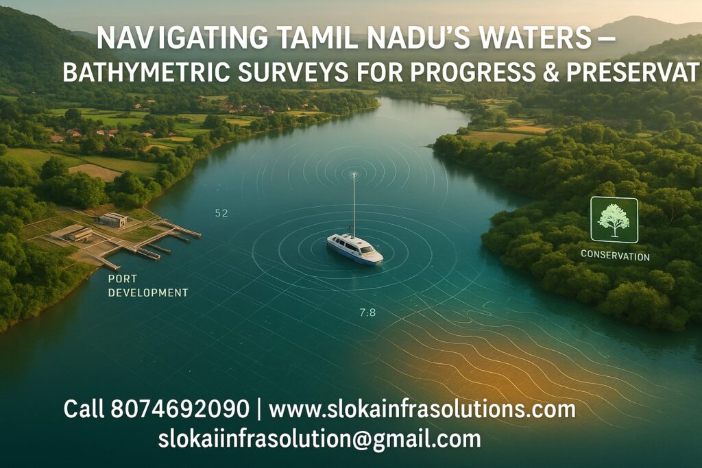
Bathymetric Survey in Tamil Nadu
Call: 80746 92090
Bathymetric Survey in Tamil Nadu is a critical undertaking that helps map the underwater topography of the state’s diverse water systems, including its extensive coastline, rivers, reservoirs, and backwaters. From coastal cities like Chennai and Tuticorin to inland bodies such as Mettur Dam and Pichavaram backwaters, Tamil Nadu’s diverse landscape requires precise underwater mapping to support infrastructure development, manage water resources efficiently, prepare for natural disasters, and protect ecological systems.
Top Bathymetric Survey and Surveyor in Tamil Nadu
Top Bathymetric Survey and Surveyor in Tamil Nadu providers use cutting-edge technologies like multi-beam echo sounders, unmanned vessels, and LiDAR to accurately map underwater terrain. Their services are vital for ports, municipalities, environmental departments, and private developers. With Tamil Nadu’s unique terrain, successful surveyors combine technical precision with local geographic expertise, ensuring reliable results even in monsoon-affected or sediment-heavy areas.
Understanding Bathymetric Surveys
A bathymetric survey is the process of measuring and mapping the depths of water bodies to chart the underwater landscape. It helps visualize the seafloor, riverbeds, and lake bottoms using sonar equipment and GPS positioning. In Tamil Nadu, this data supports key decisions across port operations, river engineering, dam safety, and environmental management.
Surveyors use equipment like single-beam echo sounders (SBES), multi-beam echo sounders (MBES), Acoustic Doppler Current Profilers (ADCP), and LiDAR. Whether it’s charting the Kaveri River’s channels or understanding siltation in reservoirs like Bhavani Sagar, bathymetric data is indispensable.
Applications in Tamil Nadu
1. Coastal and Port Infrastructure
Stretching over 1,076 kilometers, Tamil Nadu’s coastline hosts key maritime hubs such as Chennai, Ennore, and Tuticorin.These areas require regular bathymetric surveys to:
- Ensure safe navigation by identifying shallow zones.
- Guide dredging operations.
- Plan expansions and berth placements.
In Tuticorin, bathymetric maps support breakwater construction, while Chennai Port uses high-resolution MBES data for regular depth monitoring to accommodate large cargo ships.
2. River and Floodplain Mapping
The Kaveri, Vaigai, and Tamirabarani rivers serve as vital lifelines for agriculture and water supply. During monsoons, flood risks increase drastically. Bathymetric surveys help:
- Model riverbeds to understand flow patterns.
- Design flood mitigation structures like check dams and embankments.
- Anticipate sediment movement and prevent blockages.
For example, during the monsoon season, detailed profiles of the Kaveri help manage flood warnings in Thanjavur and Tiruchirappalli districts.
3. Reservoir and Dam Monitoring
Reservoirs like Mettur, Amaravathi, and Chembarambakkam store crucial water supplies. Over time, sediment buildup reduces their holding capacity. Bathymetric surveys:
- Quantify sediment volumes.
- Guide desilting operations.
- Maintain optimal water storage for irrigation and drinking needs.
The Water Resources Department relies on annual bathymetric assessments to prioritize maintenance activities and ensure long-term reservoir sustainability.
4. Environmental Protection and Habitat Mapping
Bathymetric surveys play a vital role in charting underwater ecosystems, including coral reefs, mangroves, and seagrass habitats. In the Gulf of Mannar, multi-beam sonar identifies coral reef locations, supporting marine biodiversity efforts. In Pichavaram, bathymetric data ensures safe tourist navigation and helps manage delicate mangrove ecosystems.
5. Urban Water Management
Cities like Chennai face waterlogging and drainage issues due to unplanned development and silted waterways. Mapping Water Bodies like Poondi, Puzhal, and Velachery Lakes:
- Identify depth loss due to sedimentation.
- Guide desilting and rainwater harvesting plans.
- Improve urban flood resilience and drinking water security.
Techniques Used in Tamil Nadu
1. Single-Beam Echo Sounder (SBES)
Ideal for smaller lakes and rivers, SBES sends a vertical acoustic pulse to measure depth directly below a vessel. It’s used extensively in reservoir capacity assessments and rural irrigation surveys.
2. Multi-Beam Echo Sounder (MBES)
MBES produces high-resolution, wide-swath maps, suitable for ports, coastal engineering, and seabed habitat mapping. Tuticorin Port and the Gulf of Mannar projects rely heavily on MBES data.
3. Acoustic Doppler Current Profiler (ADCP)
Used to monitor flow velocities and sediment movement in rivers like the Tamirabarani and estuaries like the Vellar. ADCP also helps model flood scenarios.
4. LiDAR Bathymetry
Airborne green-light LiDAR is used in shallow coastal zones, producing seamless elevation and bathymetry maps. In places like Poompuhar, it supports erosion studies and beach nourishment.
5. Unmanned Surface Vehicles (USVs)
Remote-controlled boats fitted with SBES or MBES are used in dangerous or inaccessible waters, including narrow canals, shallow lakes, and flooded zones during the monsoon.
Benefits Across Sectors
Port Authorities
- Maintain navigable depths
- Reduce grounding risks
- Plan expansions efficiently
Water Resource Departments
- Manage reservoir storage
- Predict sedimentation
- Optimize water allocation for agriculture
Disaster Management
- Model flood zones
- Plan evacuations
- Reinforce vulnerable riverbanks
Environmental Agencies
- Map coral reefs and seagrass
- Guide mangrove restoration
- Monitor coastal erosion
Fisheries and Aquaculture
- Identify ideal sites for fish farming
- Track changes in fish habitats
- Plan sustainable harvesting strategies
Urban Planners
- Improve lake health
- Plan drainage networks
- Prevent urban flooding
Key Water Bodies in Tamil Nadu
Tamil Nadu’s vast network of water bodies requires detailed underwater mapping. Here are some of the major ones benefiting from bathymetric surveys:
- Coastal Areas: Chennai, Cuddalore, Nagapattinam, Poompuhar, Rameswaram, Kanyakumari
- Major Rivers: Kaveri, Vaigai, Tamirabarani, Bhavani, Amaravathi
- Major Reservoirs and Dams: Including Mettur, Bhavani Sagar, Chembarambakkam, Amaravathi, Vaigai, and Poondi
- Prominent Lakes and Backwaters: Such as Pichavaram, Velachery, Puzhal, Poondi, and Ooty Lake
- Key Marine Areas: Covering the Gulf of Mannar Biosphere Reserve, Palk Strait, and offshore continental shelf regions explored for wind energy projects
Bathymetric Survey in Shallow Water
Shallow-water surveys face unique challenges like vegetation interference, poor acoustic returns, and boat draft limitations. These are mitigated using:
- High-frequency echosounders for precision
- USVs for restricted access
- Manual boats or kayaks with mounted sensors
- LiDAR for intertidal and nearshore zones
Use cases in Tamil Nadu include:
- Mapping sediment in Poondi reservoir
- Guiding mangrove replanting in Pichavaram
- Identifying silt deposits in Chembarambakkam Lake
Bathymetric Survey in Deep Water
Deep-water surveys, typically offshore, support large infrastructure projects and ecological studies. These use advanced equipment like MBES with depth capabilities over 200 meters, ROVs, and side-scan sonar.
Applications include:
- Offshore wind farm siting near Chennai
- Submarine cable route planning
- Charting the submerged coral reef systems in the Gulf of Mannar.
These projects demand vessels with dynamic positioning systems, real-time tidal correction, and high-end processing tools.
Case Highlights from Tamil Nadu
Mettur Dam Sediment Survey
Data from USVs and sub-bottom profilers indicated that sediment buildup had reduced the reservoir’s capacity by more than 30%.This led to targeted desilting and check dam installation upstream.
Chennai Port Channel Mapping
Biannual MBES surveys found high siltation rates. Data was used to optimize dredging and prevent grounding incidents, reducing port maintenance costs.
Pichavaram Backwaters
Bathymetric and LiDAR data helped design safe boating routes and identified areas suitable for mangrove replanting.
Gulf of Mannar Reef Mapping
MBES and side-scan sonar pinpointed ideal coral restoration zones between 8–12 meters depth, helping expand marine protected areas.
The Role of GIS and Decision-Making
Bathymetric data becomes powerful when integrated into Geographic Information Systems (GIS). Tamil Nadu agencies use GIS dashboards to:
- Overlay depth data with rainfall and inflow
- Predict flooding in urban areas like Chennai
- Monitor shoreline changes over time
- Aid environmental impact assessments for development
Using platforms like QGIS and ArcGIS, stakeholders make better, faster decisions.
Bathymetric Survey Workflow
- Planning: Define objectives, obtain permissions, study historical maps.
- Survey Design: Choose equipment (MBES/SBES/ADCP/USV), determine grid layout.
- Data Collection: Calibrate instruments, collect depth profiles.
- Processing: Clean data, apply tidal and SV corrections.
- Analysis: Generate 2D charts, 3D models, and sediment volume estimates.
- Reporting: Deliver actionable maps, charts, and recommendations.
Best practices include timing surveys during low winds, maintaining calibration logs, and involving local stakeholders.
Challenges Unique to Tamil Nadu
- Monsoonal Flow: River conditions change drastically between seasons. Surveys must be carefully timed.
- Sediment Load: High silt levels affect acoustic signals. Frequent SVP casts are needed.
- Regulatory Permissions: Coastal Regulation Zone (CRZ) clearances are mandatory in sensitive areas.
- Ecological Sensitivities: Protected marine zones require collaboration with biologists and conservationists.
Despite these challenges, advancements in unmanned technologies, satellite assistance, and remote sensing have made surveys more efficient and safer.
Conclusion
From port dredging and flood management to ecological preservation and urban planning, Bathymetric Survey in Tamil Nadu is an essential tool driving development, safety, and sustainability. With its rich variety of water bodies and coastlines, the state presents both opportunities and challenges that require expert mapping and continuous monitoring.
Choosing a Top Bathymetric Survey and Surveyor in Tamil Nadu brings you not just accurate data, but also insights rooted in local expertise and global best practices. Whether you’re protecting marine life in the Gulf of Mannar, expanding Chennai Port, or restoring lakes around Madurai, underwater mapping lays the foundation for smarter decisions and resilient infrastructure.