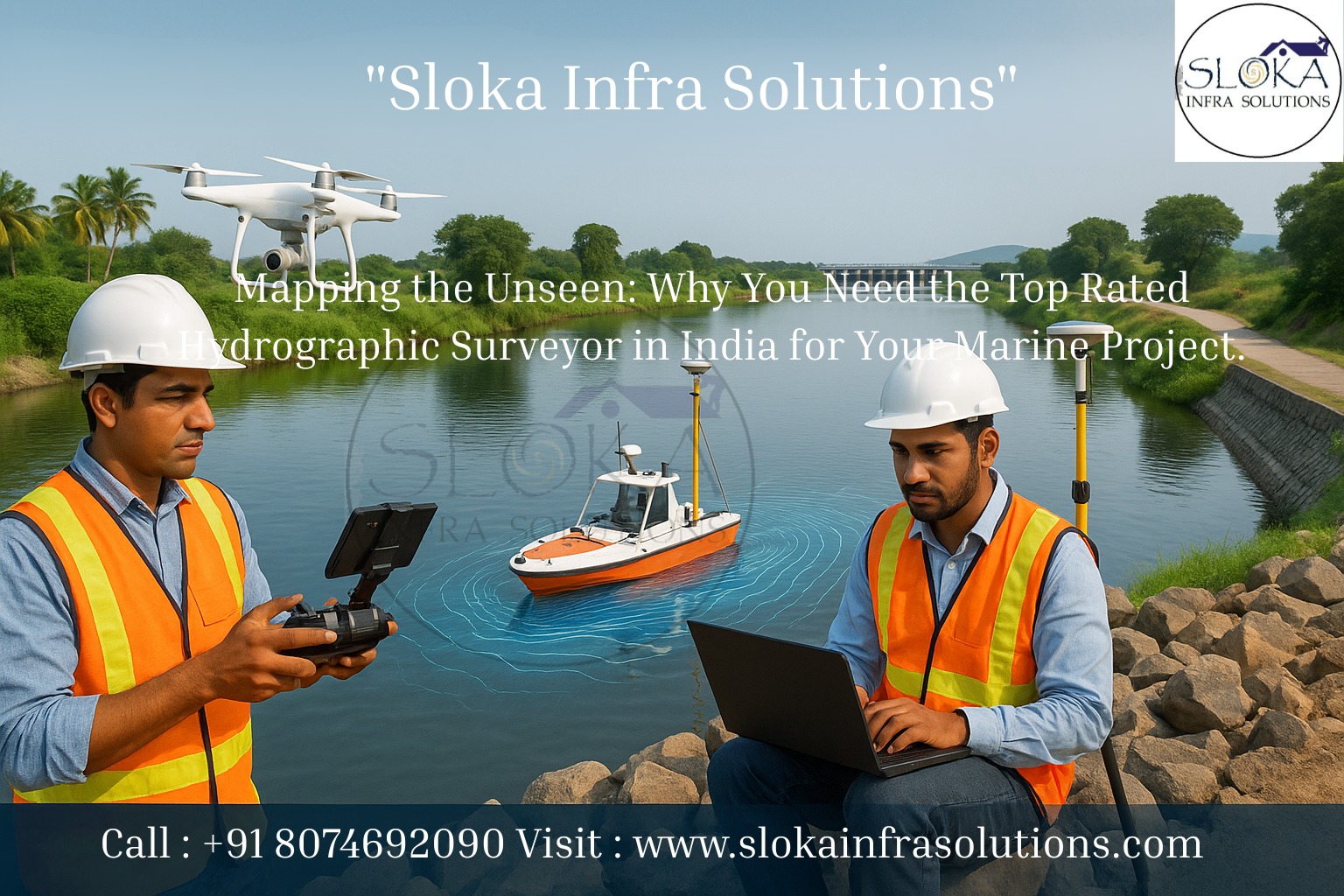
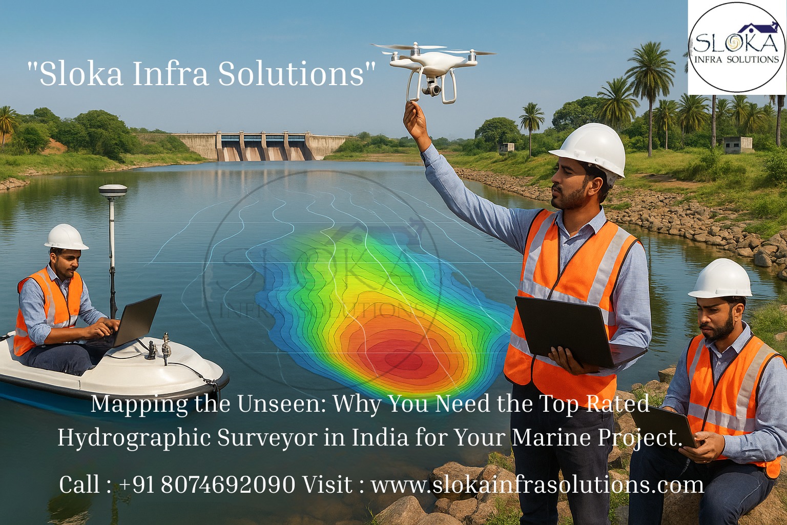
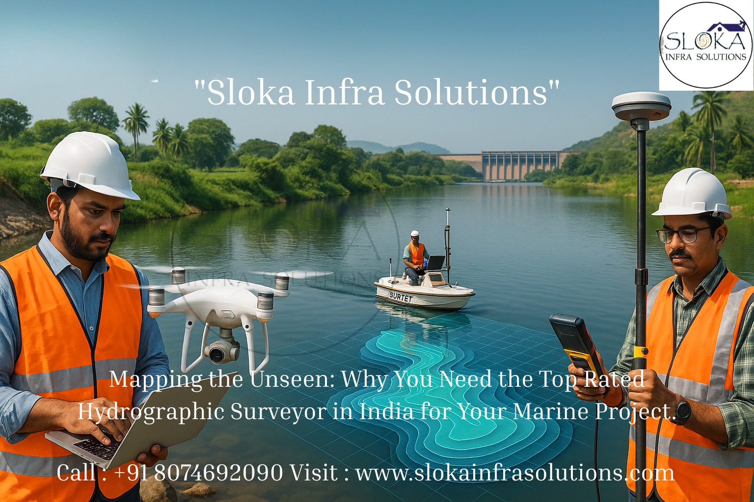
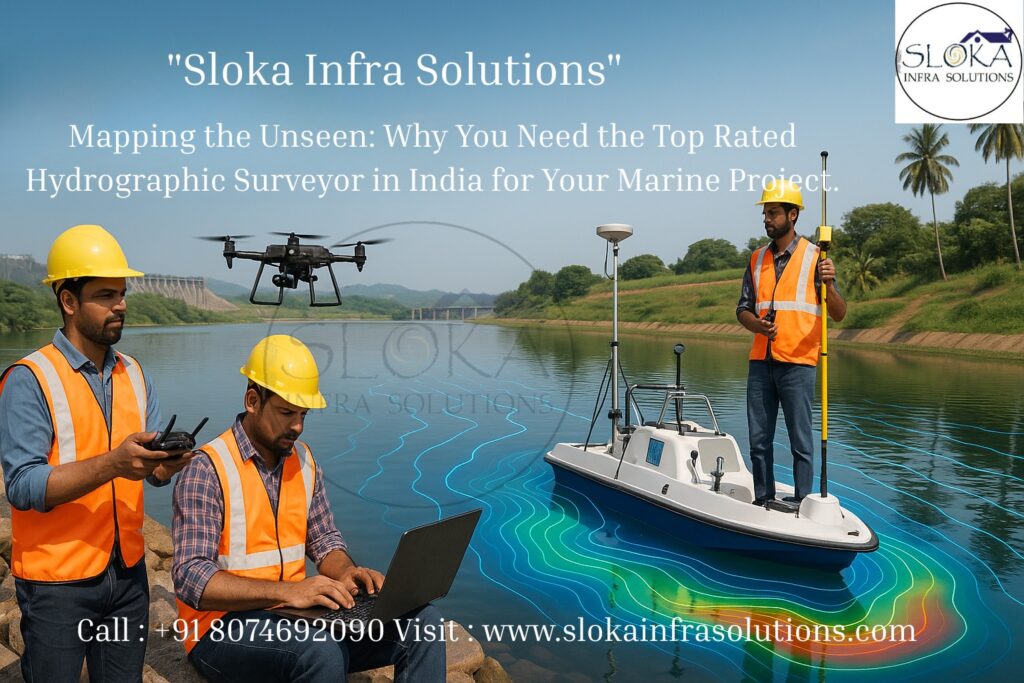
Top Rated Hydrographic Survey Company in India
Mapping the Unseen: Why You Need the Top Rated Hydrographic Surveyor in India for Your Marine Project
Top Rated Hydrographic Survey Company in India leads the charge in turning the unseen underwater world into clear, usable maps that power ports, coasts, offshore energy, fisheries, and environmental protection. Hydrographic surveying is not just about measuring depth; it’s an interdisciplinary craft that blends acoustics, geophysics, geodesy, oceanography, and data science to deliver accurate bathymetry, seabed imaging, and subsurface information that decision-makers rely on. In a country with a coastline of over 7,500 km, islands, inland rivers, reservoirs, and an expanding maritime economy, trusted hydrographic expertise is now mission-critical for safety, development and conservation.
Top Rated Hydrographic Surveyor in India:-
Top Rated Hydrographic Surveyor in India are highly trained professionals who blend field craft, sensor know-how, and interpretive skill to deliver actionable charts and datasets. From captains and survey engineers on survey launches to data processors, GIS analysts, and marine geophysicists back on shore, a modern hydrogTop Rated Hydrographic Surveyor in Indiaraphic survey team must manage vessel operations, acoustic sensors, positioning systems (GNSS + INS), sound-velocity profiling, tidal corrections, and rigorous quality control — all while following international standards for safety and accuracy.
The Indian Naval Hydrographic Department (INHD) and the National Hydrographic Office set the national framework and standards that many private companies align to, ensuring charting and surveys meet recognized global benchmarks.
Why Hydrographic Surveying Matters for India — Coast to River to Reservoir?
India’s maritime domain is vast and diverse: long stretches of open coast, estuaries and deltas (Ganges, Godavari, Krishna), the island groups of Lakshadweep and the Andaman & Nicobar, inland waterways being developed under national initiatives, numerous ports (major and minor), and countless reservoirs and irrigation canals.
Each of these waterbodies has different surveying needs:
- Coastal navigation charts for port access and safety
- Channel surveys for dredging and berth design
- Offshore route surveys for cables and pipelines
- Port bathymetry for safe maneuvering
- Environmental baseline surveys for habitat and erosion monitoring
- Inland waterway surveys for cargo movement and depth management
Accurate hydrographic data reduces risk, saves cost, and supports sustainable planning. With port modernization, offshore energy projects, and coastal management gaining momentum, the demand for specialized hydrographic services is rapidly growing across India.

Core Elements of a Professional Hydrographic Survey:-
A complete hydrographic survey program typically includes the following components:
1.Project planning & mobilization — scope, positional control plan, sensor selection, safety and environmental clearances.
2.Positioning & motion reference — multi-constellation GNSS and an inertial navigation system (INS) for vessel attitude and precise coordinates.
3.Depth measurement (bathymetry) — multibeam echo sounders (MBES) produce high-resolution, georeferenced depth grids.
4.Seabed imaging — side scan sonar for high-definition acoustic imagery to detect objects, wrecks, pipelines, and habitat textures.
5.Subsurface profiling — sub-bottom profilers (SBP) reveal buried objects and sediment stratigraphy.
6.Water-column and environmental sensors — CTD (conductivity, temperature, depth) or sound velocity profilers to correct acoustic travel times.
7.Data processing & QA/QC — cleaning soundings, tidal reduction, tidal datum establishment, and complying with standards (IHO S-44).
8.Deliverables — bathymetric digital terrain models (DTMs), nautical charts/ENCs, side scan mosaics, SBP interpretation, GIS layers, and survey reports.
Each stage ensures that hydrographic data meets international accuracy and quality standards suitable for navigation, engineering, and environmental applications.
Types of Hydrographic Surveys — Pick the Right Tool for the Job:-
Bathymetric (singlebeam & multibeam): core depth measurements mapped into grids for navigation and engineering.
Dredge surveys & volume calculations: repeated bathymetry for progress and planning.
Pipeline/cable route surveys: combine MBES, side scan and SBP to clear route corridors of hazards and buried obstructions.
Wreck & object search: side scan sonar and targeted MBES to precisely locate and document features.
Geophysical & geotechnical surveys: SBP plus seafloor sampling when subsurface data is required for foundation and seabed characterization.
Habitat mapping & environment: integrating acoustic backscatter with ground-truthing to map sediment types and benthic habitats.
Choosing the right sensor mix improves cost efficiency and data utility — a common design decision made during scoping for projects from shallow rivers to offshore wind or port expansion.
Sub Bottom Profilers — Peeking Under the Seabed:-
A Sub Bottom Profiler (SBP) is a low-frequency acoustic system designed to penetrate the seafloor and reveal layers of sediment and shallow geology beneath the seabed surface. Sub-bottom profilers emit sound pulses that travel through soft sediments, reflecting back from subsurface interfaces to produce vertical profiles — essentially an “ultrasound” of the seabed.
SBP data answer key engineering and geological questions about sediment thickness, buried channels, debris, and rock outcrops. Technologies like Chirp, Boomer, and Sparker systems vary in resolution and penetration depth.
In India, SBP surveys are vital for:
Port and harbor foundation studies
Offshore pipeline and cable route design
Marine archaeology
Dredging and reclamation planning
Interpreting SBP data requires geophysical expertise to distinguish between real subsurface layers and acoustic noise. Ground truthing using vibrocores or sediment samples validates interpretations and ensures reliability in engineering and environmental decisions.

Side Scan Sonar — The Camera for the Seabed:-
Side Scan Sonar (SSS) is an imaging technology that produces high-resolution acoustic “pictures” of the seafloor by sending fan-shaped sound waves to either side of a survey vessel or towfish. The returning echoes are processed into continuous mosaics that reveal seafloor texture, objects, and structures.
SSS helps detect wrecks, debris, pipelines, and seafloor irregularities that aren’t captured by bathymetric data. The imagery supports navigation safety, seabed mapping, habitat monitoring, and underwater archaeology.
In India, Side Scan Sonar surveys play a major role in:
Port approach inspections
Subsea pipeline and cable route assessment
Shipwreck and archaeological studies
Search and rescue missions
Modern side scan systems combined with GNSS positioning and MBES deliver unmatched clarity and spatial accuracy — turning the invisible underwater terrain into actionable intelligence.
Survey Workflow — From Plan to Finished Product:-
1.Initial scoping & desktop study — gather charts, satellite imagery, prior surveys, tidal datum and permits.
2.Positioning control — deploy GNSS base stations or utilize real-time corrections (RTK/PPP) and configure INS for motion compensation.
3.Sensor calibration — sound velocity profiles (SVP), patch tests for multibeam alignment, and towfish calibration for side scan.
4.Field acquisition — systematic line plans (parallel or zigzag), overlap for MBES, and cross lines for QC. SBP and side scan lines are chosen to balance coverage and resolution.
5.Processing & QC — tide reductions to a common datum, removal of spikes, beam-angle corrections, and gridding for DTM generation. Side scan mosaics require slant range correction. SBP picks are digitized and interpreted.
6.Reporting & deliverables — chart updates, ENC creation, DTM files (e.g., XYZ, GeoTIFF), GIS layers, inspection logs, and comprehensive survey reports including methodology and QA/QC statements.
Deliverables must state uncertainties, vertical and horizontal accuracies, and compliance to relevant standards. This transparency is what turns raw acoustic returns into legally and operationally useful navigational products.
Inland & Shallow-Water Surveying — Different Rules, Same Rigor:-
Inland surveys face unique challenges like variable depths, strong currents, vegetation, and poor GNSS reception. Specialized shallow-water multibeam systems and single-beam echosounders are used for rivers, canals, and reservoirs.
India’s National Waterways projects rely on such surveys for dredging, bridge design, and flood management — ensuring safe navigation and sustainable waterway development.
Case Studies & Applications Across India:-
Port approach surveys: Regular hydrographic surveys of port approaches ensure dredging priorities and safe vessel passage. Private surveyors and port trusts carry out repeat bathymetry to quantify shoal volumes.
Cable and pipeline route surveys: Before laying subsea infrastructure, MBES + SSS + SBP surveys clear routes of hazards and determine burial depths.
Island and atoll charting: Andaman & Nicobar and Lakshadweep require specialized surveys for navigation and conservation planning.
Coastal engineering & seafloor geotechnical prep: SBP plus geotechnical sampling inform foundation design for jetties, breakwaters and offshore platforms.
Search & recovery and maritime archaeology: Side scan and targeted MBES provide discovery and documentation of underwater cultural heritage and accident scenes.
These applications illustrate how hydrography underpins both economic development and maritime safety.
Choosing a Reliable Hydrographic Partner:-
When selecting a Top Rated Hydrographic Survey Company in India, consider the following:
Standards compliance: Does the provider work to IHO S-44 and national hydrographic office specifications?
Sensor fleet & redundancy: Modern MBES, SBP, SSS, GNSS/INS and SVP equipment must be available and well maintained.
Experienced personnel: Are there Category A/B trained hydrographers, data processors, and geophysicists?
QA/QC & data deliverables: Clear statements of uncertainty, processing workflow and final data formats (ENC, DTM, geotiffs, GIS layers).
Safety & environment: Vessel safety, environmental precautions and stakeholder coordination.
Track record & references: Samples of past work — dredging support, port surveys, route surveys, or government contracts.
A good partner will guide scoping to optimize cost and data utility rather than selling the most expensive sensor suite.
Data Management & Future-Proofing:-
Hydrographic data is big data. Efficient management — with metadata, cloud storage, and AI-assisted processing — ensures that datasets remain usable for engineering, environmental, and navigation purposes. India’s integrated bathymetric databases are becoming a critical national resource for planners and researchers alike.

Emerging Technologies & Future Trends:-
Autonomous Surface & Underwater Vehicles (USV/AUV)
Integrated Sensor Suites
Machine Learning in Sonar Interpretation
Real-Time Web Visualization for Ports
These technologies make surveys safer, faster, and more cost-effective — setting the course for the future of hydrography.
Challenges & Mitigation Strategies:-
Acoustic noise and weather
Tidal datum complexities
Shallow water clutter
Regulatory coordination
Proper planning, equipment calibration, and stakeholder engagement are key to ensuring survey success.
Deliverables You Should Expect:-
A professional hydrographic survey delivers:
Bathymetric DTM and XYZ data
Side Scan Sonar mosaics
Sub-bottom profiler interpretations
QA/QC reports
GIS-ready datasets and ENC updates
These deliverables provide the foundation for confident engineering and navigation decisions.
Environmental & Social Responsibility:-
Responsible hydrography respects marine ecosystems and local communities. Timing surveys to avoid breeding or nesting seasons, minimizing noise in sensitive habitats, and engaging coastal stakeholders are integral to sustainable marine operations.
Final Thoughts:-
Hydrography translates the hidden seafloor into reliable knowledge. Whether you’re expanding a port, laying a cable, designing a coastal defense, or mapping inland waterways for commerce, the quality of survey work underpins safety, cost control and long-term success. Choosing a Top Rated Hydrographic Survey Company in India and working with Top Rated Hydrographic Surveyor in India ensures your project rests on solid, defensible data — and in a country with such varied waterbodies, that expertise isn’t optional, it’s essential.
