Hydrographic Survey Company in India
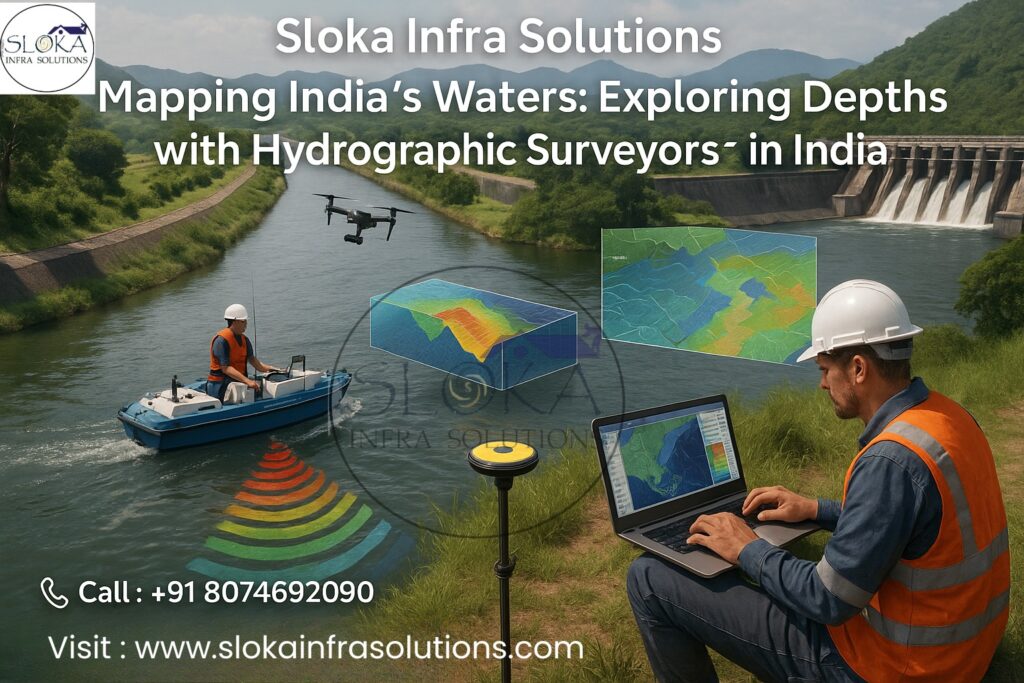
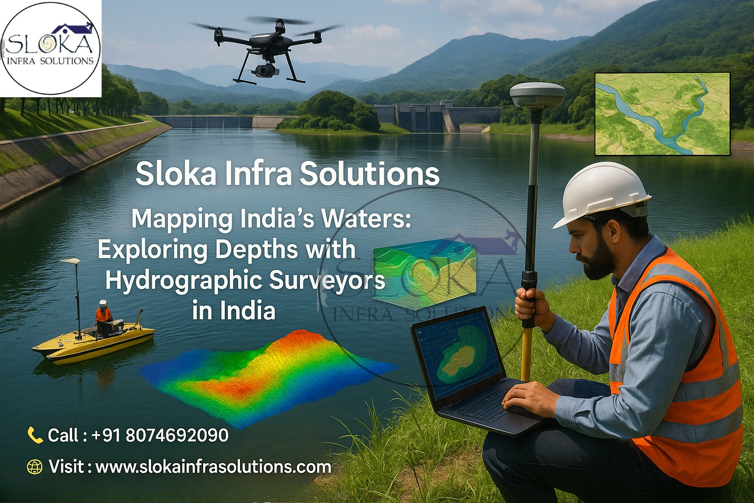
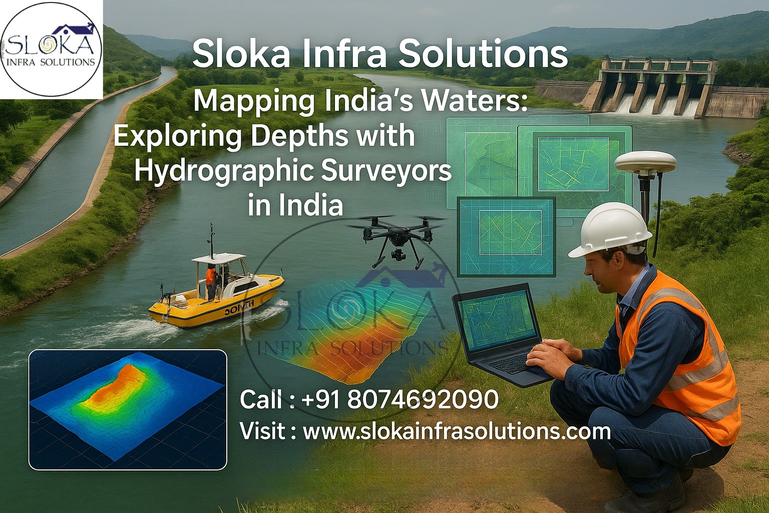
Mapping India’s Waters: Exploring Depths with Hydrographic Surveyors in India
Call: 80746 92090
Hydrographic Survey Company in India — a phrase that today stands at the crossroads of engineering precision, environmental stewardship, and the country’s expanding maritime ambitions. Whether charting the shifting channels of the Ganga, mapping ports along the Arabian Sea, or producing high-resolution bathymetry for reservoir management, hydrographic survey companies in India supply the foundational maps and data that make safe navigation, coastal development, dredging and offshore projects possible.
Hydrographic Surveyor in India:-
Hydrographic Surveyor in India — these are the skilled professionals who plan, execute and interpret underwater mapping campaigns across India’s diverse waterbodies: oceans, estuaries, rivers, reservoirs, and lakes. A surveyor’s toolkit spans survey-grade GNSS, multibeam and single-beam echo sounders, side-scan sonar, sub-bottom profilers, ADCPs ( Acoustic Doppler Current Profilers), and GIS-ready deliverables — all calibrated, controlled, and validated according to national and international hydrographic standards.
Why hydrographic surveys matter right now?
India’s economy and safety rely heavily on accurate underwater mapping. Port modernization, coastal infrastructure (including sea walls, breakwaters, and offshore wind farms), inland waterways development, dredging plans, environmental monitoring, and disaster resilience (flood mapping, sedimentation studies) all require precise hydrographic data. The nation’s long and complex coastline — with multiple ports, estuaries, and island groups — plus an intricate network of major rivers and reservoirs, makes up-to-date hydrographic intelligence essential for planning and operations. Recent government and municipal initiatives have shown renewed interest in bathymetric studies for lakes and reservoirs, which underscores the demand for professional hydrographic services.

What a full hydrographic survey covers?
A modern hydrographic survey goes well beyond simple depth sounding. Typical components include:
Bathymetry (depth mapping) — producing digital terrain models (DTMs) of the seafloor or reservoir bed using single-beam or multibeam echosounders.
Backscatter and seabed characterization — deriving seabed texture and roughness from acoustic backscatter.
Side-scan sonar imaging — wide-area seafloor imagery to detect debris, wrecks, pipelines and microtopography. (Detailed section below.)
Sub-bottom profiling — imaging the subsurface sedimentary layers to detect buried features, sediment thickness and stratigraphy. (Detailed section below.)
Positioning and georeferencing — using GNSS, RTK and tide/stage control to ensure vertical and horizontal accuracy.
Hydrodynamic measurements — currents, tides, and flow (using ADCP) for navigational safety and design.
Deliverables — nautical and engineering charts, point clouds, gridded bathymetric DTMs, CAD-ready profiles, and GIS layers for client integration.
India’s waterbodies — geography that shapes survey requirements:-
India is vast and geographically varied: a mainland coastline along the Arabian Sea, Bay of Bengal, and Indian Ocean; major river systems like the Ganga, Brahmaputra, Godavari and Krishna; a network of reservoirs, lakes and wetlands; plus island groups (Andaman & Nicobar, Lakshadweep). Each environment demands a tailored hydrographic approach:
Open coastlines & offshore require multibeam systems, deep-water positioning, and sometimes ROV/AUV support.
Estuaries and deltas need high-density surveys to track sediment transport, bar formation and channel shifting (e.g., complex turbidity and tidal regimes in the Ganga–Brahmaputra delta).
Inland rivers and reservoirs demand frequent bathymetric checks for siltation, storage capacity, and dam safety. Recent municipal lake surveys demonstrate how echo sounding is used at tight intervals for accurate depth grids.
Island and archipelagic waters present logistical challenges—shallow banks, coral reefs and restricted navigational corridors often call for conservative survey lines and shallow-water sensors.
This geographic diversity means that a Hydrographic Survey Company in India must be versatile — able to shift from deep-water multibeam jobs to fine-resolution shallow reservoir surveys with equal competence.
Core equipment explained:-
Multibeam Echo Sounders (MBES): Provide dense swaths of depth soundings per pass to create high-resolution bathymetric maps.
Single-beam Echo Sounders: Simpler depth profiles, often used for routine checks and in narrow channels.
Side-scan Sonar: Produces seafloor imagery ideal for targets, debris, and habitat mapping. (See dedicated section.)
Sub-bottom Profiler (SBP): Probes beneath the seabed to reveal layers and buried objects. (See dedicated section.)
GNSS/RTK & Inertial Navigation Systems (INS): High-accuracy positional control for georeferencing.
ADCPs and water-sampling sensors: For hydrodynamics and environmental studies.
Sub-Bottom Profilers:-
Sub-Bottom Profilers (SBPs) are indispensable when the objective goes beyond surface depths to image what lies under the seabed or reservoir bed. In essence, an SBP sends low-frequency acoustic pulses down through the water column into the seabed; these pulses penetrate the sediment and reflect off layers and buried structures. The returning echoes are recorded by a hydrophone array and processed to produce a two-dimensional cross-sectional image of subsurface stratigraphy. This allows surveyors to estimate sediment thickness, detect buried pipelines or wrecks, locate palaeochannels, and map compacted layers that might influence engineering foundations.
SBPs operate across a range of frequencies — lower frequencies penetrate deeper but with lower resolution, while higher frequencies give finer detail but shallower penetration. Typical SBP systems used in coastal and inland projects balance these tradeoffs depending on project goals: for example, investigating thick alluvial deposits in a delta requires deep penetration, whereas locating a shallow buried cable needs higher resolution. In reservoir and lake studies, SBP data helps quantify sediment accumulation rates, thus feeding into dredging plans and storage calculations. On engineering projects (pier foundations, reclaimed land checks), SBP results are integrated with geotechnical borings to produce a reliable subsurface model.
Proper SBP surveys require expertise in acoustic velocity models, system tuning, and time-to-depth conversion — factors influenced by sediment type, water temperature and salinity. Hence, competent hydrographic surveyors in India often pair SBP data with cores or grab samples to ground-truth acoustic interpretations, especially for projects where construction risk or environmental sensitivity is high.
Side-Scan Sonar:-
Side-scan sonar (SSS) is the workhorse for large-area seafloor imaging. Unlike echo sounders that measure depth directly beneath the vessel, side-scan systems tow a transducer (towfish) or hull-mounted array that emits fan-shaped acoustic pulses to either side of the survey line. The returned acoustic intensity (backscatter) is assembled into a mosaic, producing a photo-like image of the seabed where objects stand out as shadows and contrasts. This makes SSS ideal for detecting anomalies — shipwrecks, obstructions, pipeline trenches, submerged debris, and changes in bottom texture.
Key strengths of SSS include wide area coverage and high contrast imaging of seabed features even when depth resolution is low. Operators can quickly scan long stretches of coastline or reservoir bottom and follow up suspicious targets with ROV inspection or diver investigations. Side-scan’s backscatter data also contributes to habitat mapping (rocky vs. soft substrates) and to plan dredging by locating hard patches or buried materials that might damage equipment.
However, SSS does not directly measure water depth; instead it provides relative imagery that must be combined with bathymetric data (from MBES or single-beam) to create comprehensive maps. In complex Indian environments — such as port approaches cluttered with wrecks, or inland water reservoirs with submerged tree stumps — side-scan sonar provides the rapid reconnaissance step that prevents surprises during engineering operations. Skilled interpretation is required because acoustic shadows, slant range distortion, and towfish altitude all affect image quality; experienced hydrographic surveyors apply processing workflows and cross-validation with ground-truthing to convert raw SSS mosaics into actionable deliverables.
Methodology: How a typical survey is planned and executed?
1.Pre-survey desktop study: Collect nautical charts, prior surveys, satellite imagery, hydrographic restrictions and tide tables. This is where regulatory clearances and safety planning happen.
2.Designing survey lines & control: Establish traverse lines, control stations (GNSS), and tide gauge points for vertical referencing. Choose sensor configuration (MBES swath width, SSS towfish altitude, SBP frequency).
3.Field acquisition: Calibrate sensors, perform patch tests (for MBES), run control lines, and execute acquisition while recording raw data (soundings, SSS backscatter, SBP returns, GNSS).
4.Data processing: Clean soundings (remove outliers), apply tidal/sonar corrections, grid to DTMs, process SSS mosaics, and interpret SBP profiles. Ground-truthing with grab samples or cores is done when needed.
Quality control & delivery: Validate vertical/horizontal accuracy against control points, generate charts, reports, and CAD/GIS deliverables. Provide metadata and confidence levels.
Applications: where hydrography creates value?
Port design and navigational safety: Sounding coverage for approach channels, berth design, and dredging volumes.
Inland water resources: Siltation surveys for reservoirs and lakes to estimate storage loss and plan desiltation.
Environmental monitoring & habitat mapping: Seafloor characterization, coral reef mapping, and wetland bed studies.
Infrastructure & construction: Offshore foundations, pipeline routes, cable corridors and reclamation projects.
Search & salvage / forensic investigations: Locating wrecks, sunken assets, and underwater hazards.
Typical deliverables that clients expect:-
Bathymetric Digital Terrain Models (DTMs) and gridded soundings.
Side-scan sonar mosaics and annotated anomaly lists.
Sub-bottom profiler cross sections with time-to-depth conversions and interpretation notes.
Hydrographic CAD plans, dredge volumes, and engineering support documents.
Who’s doing hydrography in India?
Specialized private hydrographic firms — offer full turnkey surveys (multibeam + SSS + SBP + processing). Examples and firm listings appear in industry directories and specialist blogs; several Indian firms have grown to serve ports, offshore projects and inland waterways.
Government agencies & research institutes — the National Hydrographic Office and university departments often perform surveys for navigational charts and research.
Consultancies & geotechnical companies — integrating hydrography with geotechnical and environmental services for holistic project delivery.
Hydrographic Survey Company in India and Hydrographic Surveyor in India are central to every major coastal and inland water project that touches the sea, rivers, reservoirs, and island territories.
Case example snapshots (typical project types):-
Port approach dredging: Multibeam mapping, sediment sampling, and dredge-volume estimation to plan dredging windows and equipment.
Reservoir bathymetry & siltation study: Regular SBP and bathymetric surveys help compute lost storage volume and prioritize desiltation.
Lake restoration (municipal): Echo-sounder grids at regular intervals combined with SSS to map submerged features and plan cleaning operations — recently used in municipal lake projects.
Selecting the right hydrographic partner:-
1.Equipment fit: Does the firm have MBES, SSS, SBP and ADCP suitable for your water depth and resolution needs?
2.Experience in the environment: Coastal vs river vs reservoir expertise varies — ask for similar project references.
3.Quality assurance: Ask for patch tests, tide control methods, metadata and QA/QC reports.
4.Data delivery & formats: Ensure the firm can provide DTMs, XYZ soundings, GIS layers and industry-standard charts.
5.Regulatory compliance: For navigational surveys or port work, check adherence to relevant hydrographic/navigational standards.
Future trends shaping hydrography in India:-
Autonomy & AUV/USV platforms: Uncrewed surface and underwater vehicles expand safe coverage in hazardous or shallow zones.
Data fusion & machine learning: Combining multibeam, SSS, SBP and satellite / LIDAR data for richer seabed models and automated feature detection.
Inland waterways push: National initiatives to improve navigation on rivers and canals increase demand for frequent, accurate bathymetry.
High-resolution monitoring for climate resilience: Coastal erosion, storm surge modelling and sediment budgets will depend on precise temporal surveys.
Final thoughts:
Hydrographic surveying is the invisible scaffolding of maritime and inland-water projects: it steers dredgers, guides engineers, informs environmental stewards, and keeps mariners safe. In India’s context — with a recalculated and carefully measured coastline, sprawling rivers, and a rising agenda for inland water transport and coastal development — the role of a Hydrographic Survey Company in India and the Hydrographic Surveyor in India is more strategic than ever. Whether you are a port authority planning an expansion, a municipality restoring a lake, or a developer exploring an offshore foundation, the right survey sets the baseline for cost-effective, safe and sustainable outcomes.