
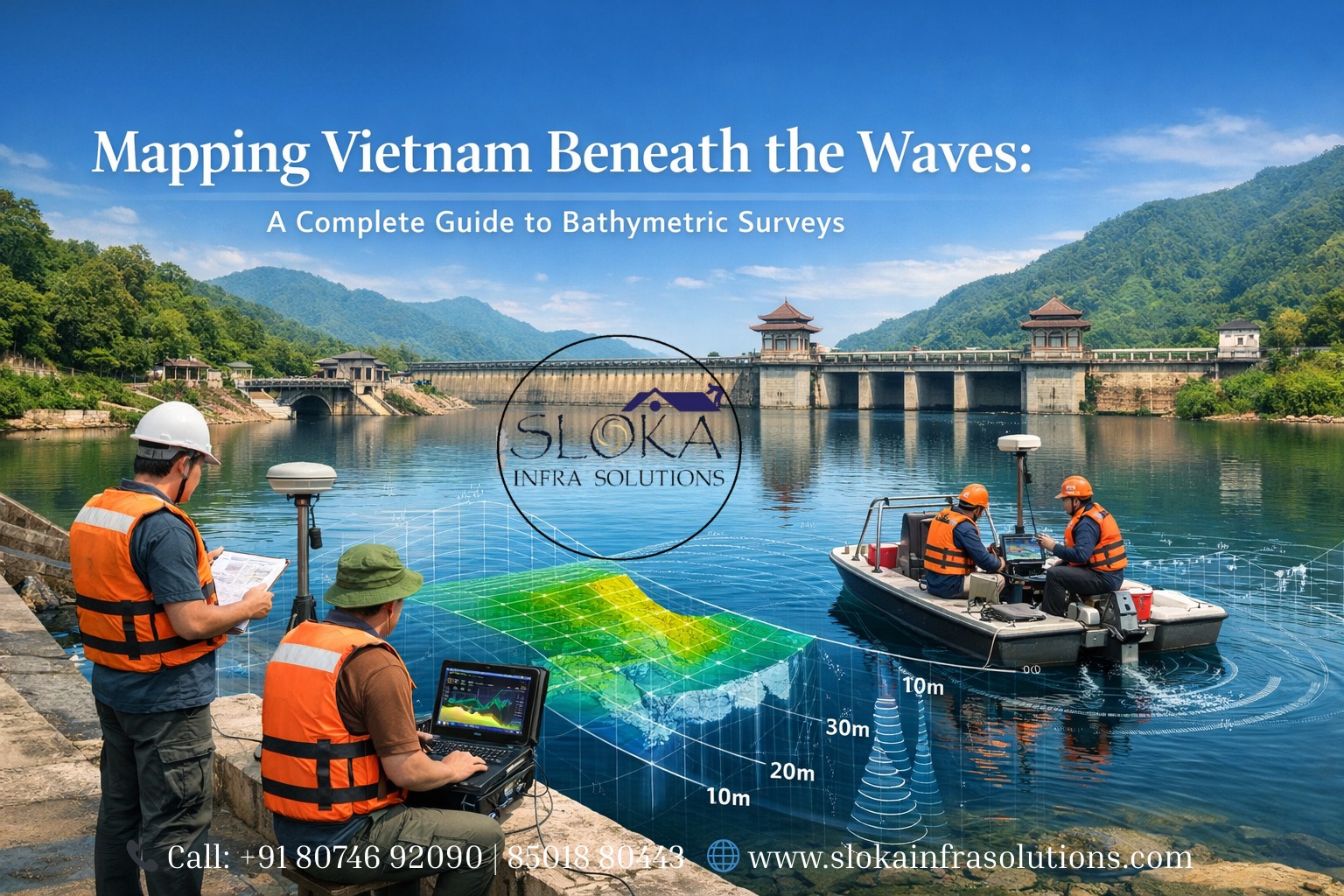
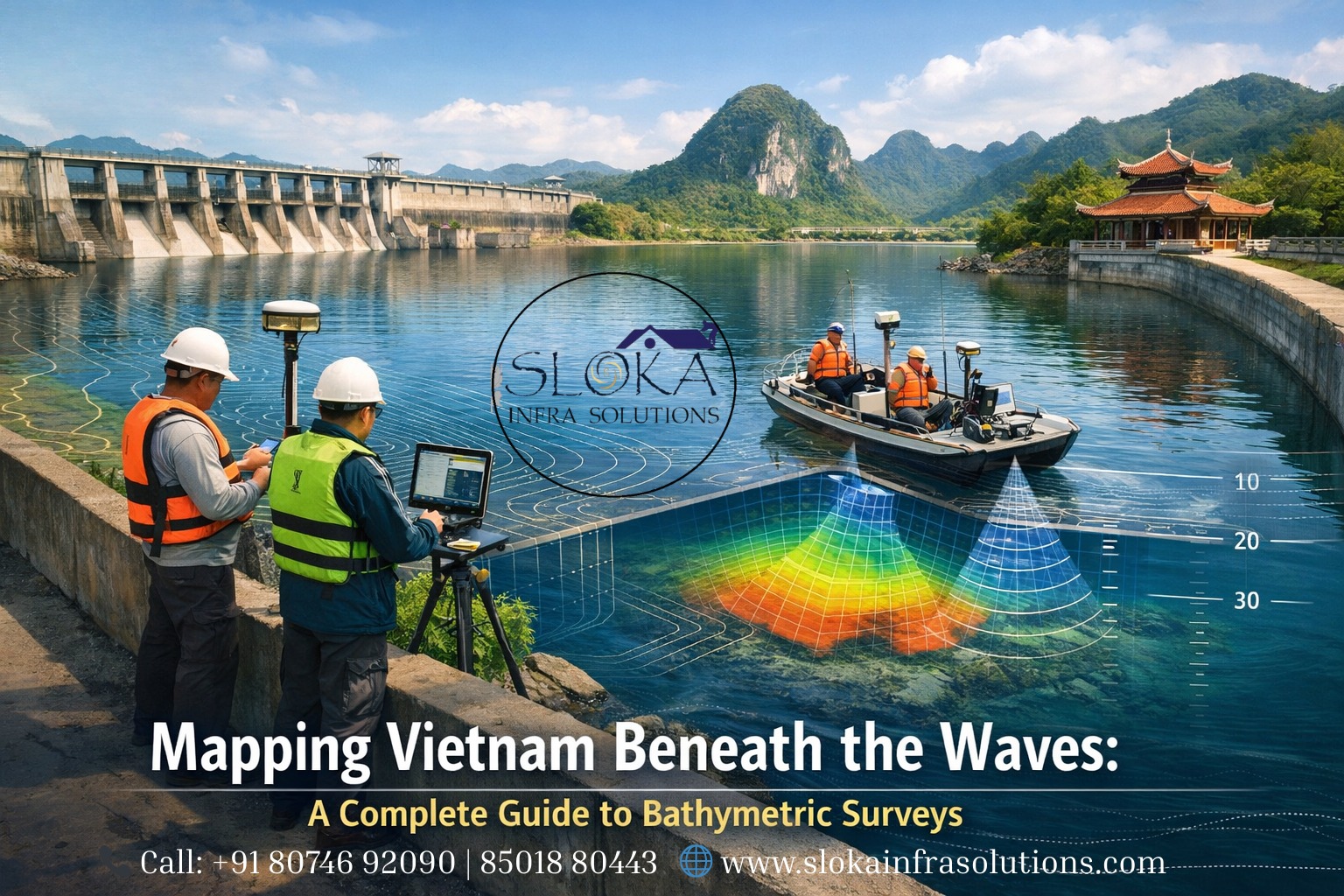
Bathymetric Survey in Vietnam
Mapping Vietnam Beneath the Waves: A Complete Guide to Bathymetric Surveys:-
Call: +91 80746 92090 | 85018 80443
Bathymetric Survey in Vietnam is rapidly becoming a cornerstone of coastal planning, port modernization, marine resource management and climate resilience projects across the country’s long and varied shoreline. From the sculpted karst islands of Hạ Long Bay to the braided channels of the Mekong Delta and the busy shipping approaches of Hải Phòng and Sài Gòn, accurate knowledge of underwater terrain — its depths, shapes and hidden hazards — is essential for safe navigation, coastal engineering and environmental stewardship.
Bathymetric Surveyor in Vietnam
Bathymetric Surveyor in Vietnam are frequently engaged by port authorities, engineering firms, renewable energy developers and environmental agencies to deliver high-resolution seafloor data and actionable maps that inform dredging, harbor expansion, cable routing, habitat mapping and flood-risk modelling. Local survey firms now combine traditional vessel-based approaches with unmanned surface vehicles (USVs) and modern multibeam systems to cover shallow coastal shelves and complex river networks efficiently.
Why bathymetry matters for Vietnam — an overview?
Vietnam’s coastline (commonly cited at around 3,260 km excluding many islands) wraps the nation in a patchwork of bays, estuaries, gulfs and island archipelagos that support fisheries, tourism, transport and industry. Accurate bathymetric maps help authorities chart safe shipping lanes into major ports (Hải Phòng, Đà Nẵng, Vũng Tàu), manage sedimentation and dredging in river mouths and navigation channels, site offshore infrastructure (wind farms, pipelines), and model how tsunamis, storm surges and sea-level rise will impact low-lying coastal communities. The nation’s complex mix of shallow shelves (e.g., Gulf of Thailand), steep offshore drops and sediment-rich deltas creates very different surveying challenges depending on location.
Key Vietnamese waterbodies & survey priorities:-
1.Gulf of Tonkin (Bắc Bộ / North): busy fishing grounds, complex coastal morphology, tidal dynamics.
2.Central Coast and South China Sea (Trung Bộ / Nam Bộ): shipping lanes, coastal tourism areas (Hội An, Đà Nẵng), shelf morphology.
3.Mekong Delta & estuaries: rapid sedimentation, shifting channels, flood risk management and port access (Cần Thơ, Cà Mau).
4.Gulf of Thailand / Gulf approaches: shallow depths requiring careful shallow-water survey work for safe navigation.
Each region imposes different sensor choices, survey planning and data-processing workflows.
The core science — what a bathymetric survey actually does?
At its heart, a bathymetric survey measures the vertical distance from the water surface to the seafloor at many points and stitches those points into a continuous surface (a digital bathymetric model — DBM). That surface can be rendered as contour charts, 3D meshes, slope maps or substrate backscatter maps that reveal seabed material types and objects. Survey outputs are used for nautical charting, dredge design, underwater construction and habitat mapping. Survey accuracy is dictated by instrument choice, vessel motion compensation, tidal corrections and the density of soundings collected.
Regulations and quality standards: the backbone of safe surveys:-
Navigation-grade bathymetry intended for charting and port safety typically follows international hydrographic standards, notably the IHO S-44 orders of survey, which define required accuracy, data density and validation procedures based on the depth and navigational risk of an area. Meeting these standards is crucial where maps will be used to update nautical charts or to certify safe clearances for commercial shipping. For engineering and environmental projects, survey specifications are often tailored to the end-use (e.g., 3D models for dredge planning vs. sub-bottom profiles for geotechnical investigations).
Tools of the trade — how modern surveys are executed:-
Survey teams select tools based on water depth, seabed type, access, cost and project objectives. Below I break down the most commonly used sensors and workflows and how they apply to the varied Vietnamese seascape.
Single Beam Echo Sounder:-
A Single Beam Echo Sounder (SBES) emits a single acoustic pulse downward and measures the time taken for the echo to return from the seafloor — converting time to depth using sound speed in water. SBES units are compact, cost-effective, and excellent for spot depths, bathymetric transects, and rapid depth checks in shallow rivers, harbors and small-scale projects. They are often mounted on small boats and used in areas where multibeam installation is impractical or unnecessary.
SBES shines in Vietnam’s narrow estuaries and inland waterways where survey lines are constrained and equipment simplicity matters. Operators can collect dense cross-sections by zig-zagging channels or running parallel transects in constrained areas. While SBES does not provide the broad swath coverage of multibeam systems, its vertical accuracy is typically very good and it complements other sensors — for example, validating depths in steep-sided channels or recording long-term monitoring transects across the Mekong’s shifting bed.
Limitations include the single-point nature of each ping (no across-track coverage), sensitivity to vessel motion (requires motion compensation), and lower efficiency for larger-scale seafloor mapping. For engineering dredge contracts or compliance surveys in Vietnam’s port approaches, SBES remains a valuable, economical tool when combined with careful tide and positioning corrections.
Multibeam Echo Sounder surveys:-
Multibeam Echo Sounders (MBES) send a fan of acoustic beams beneath a vessel to collect hundreds or thousands of depth soundings in a single ping, producing dense, high-resolution swath datasets that enable 3D seabed models. MBES is the workhorse for contemporary coastal and offshore bathymetry, capable of generating precise digital terrain models for navigation, habitat mapping and infrastructure design.
In Vietnam, MBES is indispensable for mapping port approaches (e.g., Hải Phòng, Vũng Tàu), channel design and offshore surveys where broad-area coverage and fine details (rock outcrops, wrecks, pipeline corridors) are needed. Modern MBES systems incorporate motion sensors (IMUs), high-accuracy GNSS positioning and real-time sound-speed profiling to correct refraction and ensure vertical precision. For shallow coastal shelves and the turbidity-prone Mekong mouth, high-frequency shallow-water MBES variants and small survey vessels or USVs deliver excellent resolution without deep transducer deployment.
MBES data require careful processing: calibration, tide correction, removal of spurious soundings, backscatter analysis and gridding to produce final DEMs. When properly collected and processed, multibeam surveys deliver the most complete picture of the seafloor and support decisions ranging from navigation-safety chart updates to siting offshore renewable-energy structures.
Side Scan Sonar:-
Side Scan Sonar (SSS) is designed to image seafloor texture and object features rather than deliver dense bathymetric depth points. A towfish or hull-mounted array emits fan-shaped pulses to port and starboard; the returned acoustic intensity is recorded and stitched into a photographic-like image of the seabed. Side-scan excels at detecting wrecks, boulders, pipeline shadows and changes in substrate — information that is invaluable for safe routing of cables, locating obstructions in port dredge zones, or mapping benthic habitats.
For Vietnam’s patchwork of coral reef areas (e.g., near islands), scattered wrecks and debris-laden estuaries, side-scan provides high-contrast imagery that helps surveyors and environmental scientists classify seabed types quickly. It is frequently deployed alongside MBES: MBES gives the depth field, SSS reveals the texture and targets in exquisite contrast. SSS frequency choices balance resolution and range; higher frequencies yield crisper images for near-shore surveys but suffer limited range in turbid waters.
Operationally, side-scan surveys must account for towfish depth and speed to avoid image distortion, and subsequent mosaicking and interpretation require experienced analysts — particularly in sediment-rich deltas where backscatter signatures can vary with seasonal suspended load.
Sub-Bottom Profilers:-
Sub-bottom profilers (SBP) penetrate beneath the seabed to reveal layered sediment and shallow geological structures. They emit low-frequency acoustic pulses that partially pass through sediment layers and reflect off subsurface interfaces, producing profiles that look like an ultrasound of the seafloor. SBP is essential for geotechnical and geological investigations: understanding sediment thickness, identifying buried channels, locating shallow gas pockets, and mapping the bedrock surface prior to foundations or pipeline burial.
In Vietnam, SBP surveys prove critical in the Mekong Delta and other sedimentary zones where engineers need to know how thick the mud layers are before designing foundations for piers, wind farm monopiles, or dredging plans. SBP data often inform subsequent geotechnical borehole locations — helping reduce drilling costs by targeting the most informative spots.
There are trade-offs: penetration depth and resolution vary with frequency; low frequencies yield deep penetration but coarser resolution, while high frequencies resolve thin layers with limited depth. Interpretation demands geophysical expertise because acoustic reflections can be affected by porosity, gas presence, and sediment compaction. Combined SBP + MBES + grab samples form a powerful toolkit for pre-construction seabed assessment in Vietnam’s sediment-dynamic coastal regions.
Planning a successful survey in Vietnamese waters:-
1.Project scoping
Define objectives (navigation charting, dredge design, habitat mapping), accuracy requirements (IHO order if needed), area extent, water depth ranges and temporal constraints (monsoon seasons, tidal windows).
2.Vessel & platform selection
Large coastal shelf surveys may need a survey vessel with deep-water MBES; shallow bays, estuaries and river mouths often benefit from small craft, inflatable RIBs, or remotely-operated USVs equipped with shallow-water MBES or single-beam echo sounders.
3.Positioning & motion compensation
Use RTK GNSS or better for horizontal control, and an IMU for roll-pitch-heave corrections. In nearshore sheltered waters, differential GNSS and RTK can achieve centimeter-level positioning needed for engineering-grade products.
4.Sound-speed profiling
Sound-speed variations in the water column (due to temperature/salinity) refract acoustic beams — sound-speed profiles (SSP) must be collected regularly for MBES surveys to correct depths accurately.
5.Tides & datum
Apply a consistent vertical datum (chart datum or project-specific datum) and collect accurate tidal observations or use local tide stations to reduce sounding data to the agreed datum.
6.Environmental & safety considerations
Avoid coral-dense or fishery-sensitive areas when possible; follow local regulations, and coordinate with port authorities for traffic separation during survey operations.
Data processing: from raw pings to actionable maps:-
Processing bathymetric data is as important as data collection. Typical steps:
1.Ping cleaning: remove spikes, noise and false echoes.
2.Motion & geodesy corrections: apply IMU and GNSS to get accurate XYZ georeferences.
3.Sound speed & refraction correction: correct MBES angles for water-column effects.
4.Tide reduction: reduce depths to project chart datum.
5.Gridding / DTM generation: create continuous surfaces at the required resolution.
6.Backscatter & classification: analyze acoustic intensity for substrate classification.
7.QA/QC & reporting: validate with ground-truth samples, independent cross-lines, and provide metadata and uncertainty estimates.
Deliverables may include bathymetric DEMs, gridded products, navigation charts, side-scan mosaics, sub-bottom profiles, sample logs and a QA report that documents methods, accuracy and limitations.

Common challenges in Vietnam and mitigation strategies:-
1.Turbidity & suspended sediments: reduce acoustic penetration and backscatter clarity. Mitigate with higher ping rates, lower-frequency SBP for penetration and careful survey timing during lower turbidity periods.
2.Strong tidal currents & shifting channels: increase uncertainty — use high-resolution MBES with frequent cross-lines and repeat surveys to detect changes.
3.Monsoon season constraints: plan major nearshore campaigns during calmer, clearer months and reserve emergency or maintenance surveys for less sensitive periods.
4.Underwater debris & wrecks: employ side-scan mosaics to detect and map hazards prior to MBES passes.
5.Datum & charting discrepancies: coordinate with local hydrographic offices and adopt consistent vertical datums with clear metadata to avoid confusion for navigation users.
Environmental and societal value:-
Bathymetry informs not only commerce but conservation and climate adaptation. Mapped seafloor habitats support protected area design, mangrove restoration planning (important in the Mekong Delta and southern provinces), and impact assessments for coastal developments. Accurate seabed models also feed numerical storm-surge and inundation models that governments use to plan resilient shorelines and evacuation routes.
Practical checklist for clients commissioning a survey in Vietnam:-
Define the exact purpose: navigation safety, dredging, environmental baseline, etc.
State accuracy & datum requirements up front (IHO order if charting).
Ask for equipment list (MBES model, SSS frequency, GNSS/IMU specs).
Request sound-speed sampling frequency and tide-control methods.
Require QA/QC report and raw data delivery (processed grids + point-clouds).
Confirm local permits and coordination with port/hydrographic authorities.
Short technical primer: converting acoustic pings to charted depths
Acoustic depth = (time-of-flight / 2) × sound speed (corrected for water temperature/salinity). For MBES, each beam has its angle corrected using a sound-speed profile (SSP) — this keeps across-track depths accurate. Then, apply motion corrections (heave, pitch, roll) and reduce to the selected chart datum using tidal readings. Without careful application of these corrections, depth errors can easily exceed tolerances needed for safe navigation.
Final thoughts & recommendations:-
Vietnam’s long coastline, multiple estuarine deltas and growing maritime economy make bathymetric surveys a strategic priority. Whether the task is updating nautical charts, designing a new quay at a busy port, routing a fiber-optic cable or modeling coastal flood risk, the right survey approach balances accuracy, cost and the unique environmental conditions on site.
For anyone commissioning a Bathymetric Survey in Vietnam, engage survey teams who can demonstrate experience across Vietnam’s waterbodies, provide clear QA/QC protocols, and deliver documented products tied to an agreed vertical datum. Likewise, contracting a certified Bathymetric Surveyor in Vietnam or an experienced foreign partner with strong local coordination will help ensure you receive reliable maps that stand up in practice and regulatory review.