
Bathymetric Survey in Kazakhstan
From Glacial Lakes to Reservoirs:A Complete Guide to Bathymetric Survey in Kazakhstan:-
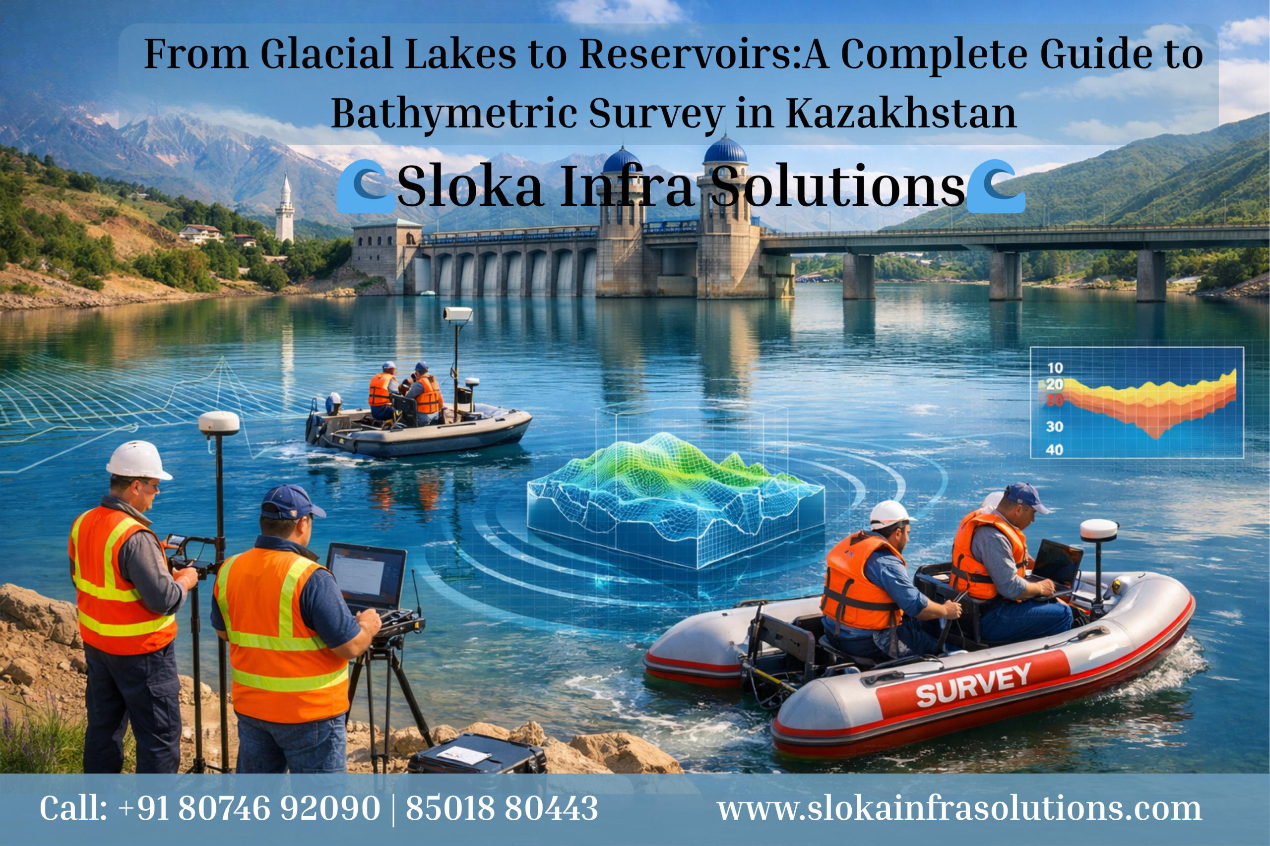
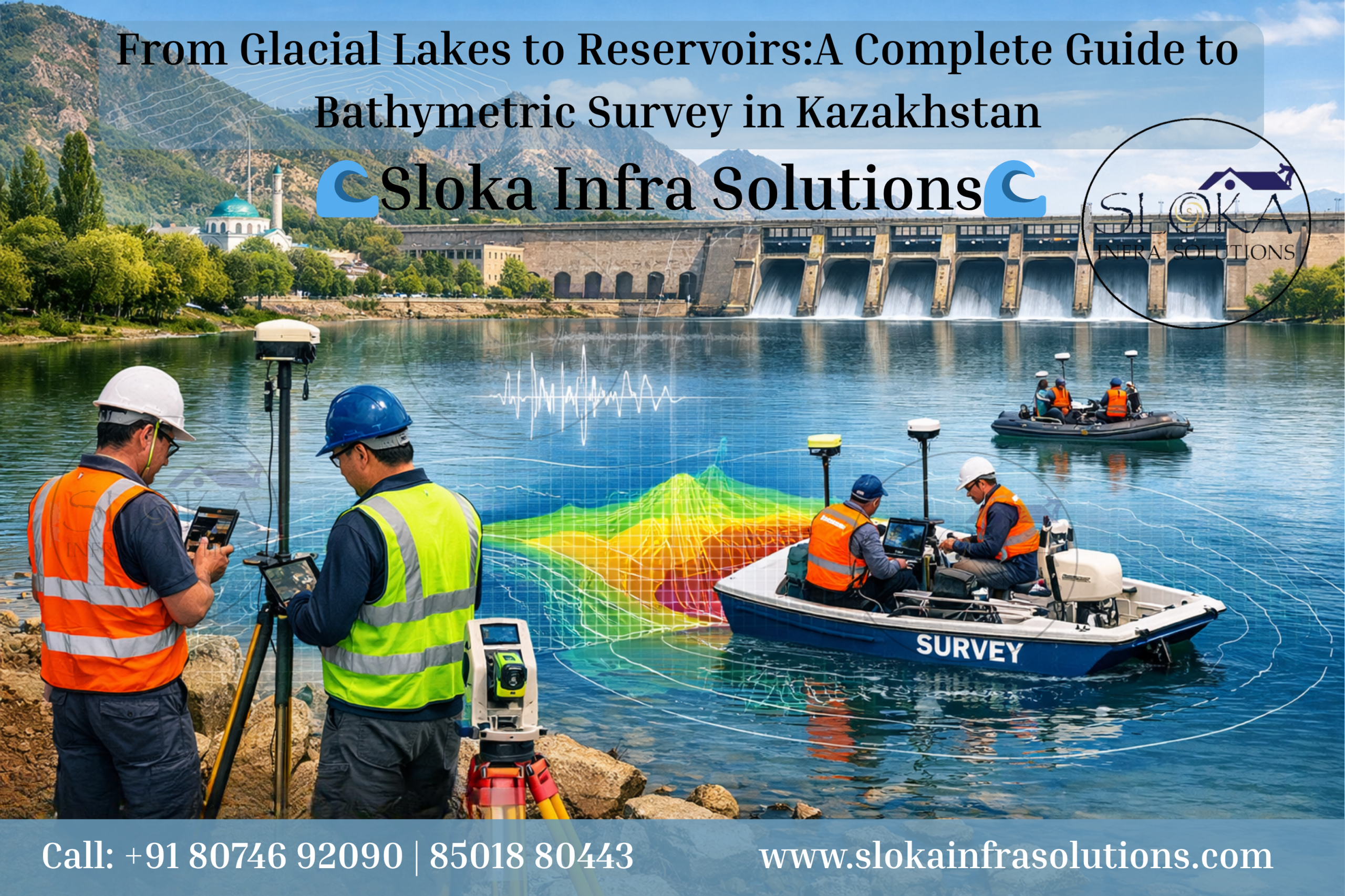
Bathymetric Survey in Kazakhstan plays a vital role in understanding the hidden depths of water bodies across one of Central Asia’s most geographically diverse nations. From the vast inland seas like the Caspian Sea to high-altitude alpine lakes in the Tien Shan mountains, Kazakhstan presents a unique and complex hydrographic landscape. Bathymetric surveys—essentially underwater mapping—are indispensable for analyzing lake morphology, water volume, sedimentation patterns, and hydrodynamic behavior.
Kazakhstan’s water systems include rivers such as the Irtysh, Syr Darya, and Ural, along with lakes like Balkhash, Zaysan, Alakol, Markakol, and numerous glacial lakes formed due to retreating glaciers. These water bodies are not only ecological assets but also critical for irrigation, hydropower, drinking water supply, and flood control. Bathymetric data provides the foundation for all such applications by revealing the shape, depth, and volume of these aquatic systems.
Recent research efforts in Kazakhstan have significantly advanced bathymetric understanding. For instance, extensive surveys conducted in the northern Tien Shan region have mapped dozens of glacial lakes, providing insights into their depth and volume relationships, which are crucial for predicting glacial lake outburst floods (GLOFs) and climate change impacts . These studies highlight the growing importance of bathymetric surveys in environmental monitoring and disaster risk reduction.
Top Bathymetric Survey and Surveyor in Kazakhstan
Top Bathymetric Survey and Surveyor in Kazakhstan are increasingly in demand as the country invests heavily in water resource management, flood forecasting, and infrastructure planning. With government initiatives allocating substantial funding for bathymetric mapping of reservoirs and flood-prone regions, the industry is evolving rapidly with the adoption of advanced hydroacoustic and geospatial technologies.
Modern bathymetric surveyors in Kazakhstan utilize tools such as echo sounders, GNSS systems, GIS software, and remote sensing platforms. These technologies enable high-resolution mapping even in remote and challenging terrains like alpine lakes and glacier-fed basins. For example, recent high-resolution surveys of Lake Markakol used advanced echo sounding systems to achieve centimeter-level accuracy, significantly improving upon older methods and enabling more precise hydrological modeling .
The integration of bathymetric data into national systems like the Tasqyn flood forecasting platform further underscores its importance. By combining bathymetry with hydrological and meteorological data, authorities can predict flood risks, model water flow, and protect vulnerable communities more effectively.
Understanding Bathymetric Surveys: A Deep Dive:-
A bathymetric survey is the underwater equivalent of topographic surveying. It involves measuring the depth of water bodies and mapping the shape of the seabed or lakebed. These surveys are conducted using sonar-based systems, which emit sound waves that bounce off the bottom surface and return to the sensor, allowing precise depth calculations.
In Kazakhstan, bathymetric surveys are particularly challenging due to the diversity of terrains—from arid steppe reservoirs to glacier-fed alpine lakes. Each environment requires tailored methodologies, equipment, and data processing techniques.
Bathymetric data is essential for:
- Hydrological modeling
- Flood risk assessment
- Sediment transport studies
- Infrastructure planning (dams, bridges, pipelines)
- Environmental monitoring
- Climate change research
Kazakhstan’s Unique Hydrographic Landscape:-
Kazakhstan’s geography significantly influences how bathymetric surveys are conducted. The country spans vast plains, deserts, and high mountain ranges, resulting in a wide variety of water bodies:
- Caspian Sea (western Kazakhstan): The largest enclosed inland water body in the world
- Lake Balkhash: A unique lake with both freshwater and saline sections
- Lake Zaysan & Alakol: Important ecological and hydrological systems
- Tien Shan & Altai Mountains: Home to numerous glacial and proglacial lakes
The formation of glacial lakes due to glacier retreat has increased in recent decades, making bathymetric surveys critical for monitoring potential hazards. Studies show that the number and size of such lakes are growing, increasing the risk of sudden outburst floods .
Protecting nature below the surface: Monitoring aquatic ecosystems in Kazakhstan:-
1. Flood Risk Management
Bathymetric data is crucial for predicting how water will behave during heavy rainfall or snowmelt. With platforms like Tasqyn, Kazakhstan is leveraging bathymetric data to forecast floods up to 30 days in advance.
2. Water Resource Management
Accurate volume calculations help manage reservoirs, irrigation systems, and drinking water supplies.
3. Environmental Monitoring
Bathymetry helps track sedimentation, pollution, and ecological changes in lakes and rivers.
4. Infrastructure Development
Engineers rely on bathymetric maps for designing dams, bridges, and underwater pipelines.
Advanced survey technologies used in Kazakhstan:-
ADCP Survey (Acoustic Doppler Current Profiler):-
The ADCP survey is a powerful technique used to measure water current velocities across different depths. In Kazakhstan’s rivers and reservoirs, ADCP systems are widely used for hydrodynamic studies and flood modeling.
An ADCP works by emitting sound pulses into the water and analyzing the Doppler shift of the returning signals. This allows it to calculate the speed and direction of water currents at multiple depths simultaneously. In rivers like the Irtysh and Syr Darya, ADCP surveys help understand flow dynamics, sediment transport, and seasonal variations.
In Kazakhstan’s flood-prone regions, ADCP data is integrated with bathymetric models to simulate water movement during extreme events. This combination enhances predictive accuracy and supports early warning systems.

Additionally, ADCP surveys are essential for:
- River discharge measurement
- Calibration of hydrological models
- Sediment transport analysis
- Navigation safety
Their ability to provide real-time, multi-layer flow data makes them indispensable for modern hydrographic surveys.
Single Beam Echo Sounder Survey:-
Single Beam Echo Sounder (SBES) surveys are among the most commonly used bathymetric techniques in Kazakhstan, especially for smaller lakes and reservoirs.
This method involves a single acoustic beam directed vertically downward from a vessel. It measures depth along a survey line, producing a series of depth points. These points are later interpolated to create a bathymetric map.
In Kazakhstan, SBES has been widely used in surveys of lakes like Markakol and Yesik. These surveys have achieved high accuracy levels, with modern systems providing precision up to ±0.17 meters .
Advantages of SBES:
- Cost-effective
- Easy to deploy
- Suitable for shallow and medium-depth waters
However, SBES provides limited spatial coverage compared to multibeam systems, making it less suitable for large-scale or highly detailed surveys.
Multibeam Echo Sounder Survey:-
Multibeam Echo Sounder (MBES) surveys represent the most advanced bathymetric technology currently used in Kazakhstan.
Unlike single beam systems, MBES emits multiple acoustic beams in a fan-shaped pattern, covering a wide swath of the seabed in a single pass. This allows for high-resolution, full-coverage mapping of underwater terrain.
In surveys like those conducted at Yesik Lake, multibeam sonar systems have enabled the creation of detailed digital elevation models (DEMs) with resolutions as fine as 1 meter .
Key benefits:
- High-resolution mapping
- Complete coverage of the survey area
- Ability to detect small features and anomalies
MBES is particularly useful for:
- Large lakes and reservoirs
- Engineering projects
- Environmental studies
Sub Bottom Profilers:-
Sub Bottom Profilers (SBP) are specialized equipment used to study the layers beneath the lake or seabed surface. Unlike standard bathymetric tools that measure depth, SBPs penetrate the sediment layers and provide information about subsurface structures.
In Kazakhstan, SBPs are valuable for:
- Sediment thickness analysis
- Geological studies
- Reservoir capacity assessment
They are particularly useful in lakes affected by sediment deposition, such as those influenced by glacial melt or river inflow. By understanding sediment accumulation, authorities can better manage water storage and predict long-term changes in lake morphology.
SBPs also play a role in identifying potential hazards such as buried debris or unstable sediment layers, which can impact infrastructure projects.
Side Scan Sonar:-
Side Scan Sonar (SSS) is used to create detailed images of the lakebed surface. Instead of measuring depth directly, it captures the texture and features of the underwater environment.
In Kazakhstan, SSS is used for:
- Detecting submerged objects
- Mapping vegetation and habitats
- Identifying geological features
This technology is particularly useful in environmental studies and search-and-rescue operations. When combined with bathymetric data, it provides a comprehensive understanding of both the shape and composition of the underwater terrain.
Challenges in Bathymetric Surveys in Kazakhstan:-
Conducting bathymetric surveys in Kazakhstan comes with several challenges:
- Remote and inaccessible locations
- Harsh weather conditions
- Limited historical data
- Complex underwater terrain
- High operational costs
Despite these challenges, advancements in technology and increased government investment are helping overcome these barriers.
Data-Driven Decisions: The Power of Advanced Mapping Tools:-
The future of bathymetric surveying in Kazakhstan is promising. With increasing focus on climate change, water security, and disaster management, the demand for accurate underwater mapping will continue to grow.
Emerging trends include:
- Integration with AI and machine learning
- Use of autonomous survey vessels
- Satellite-derived bathymetry
- Real-time data processing
Kazakhstan’s commitment to modernizing its water management systems ensures that bathymetric surveys will remain a cornerstone of its environmental and infrastructural planning.
Looking Ahead: The lasting Impact of Bathymetric Surveys:-
Bathymetric Survey in Kazakhstan is more than just mapping underwater terrain—it is a critical tool for sustainable development, environmental protection, and disaster resilience. As the country faces increasing challenges from climate change and water resource demands, the role of bathymetric surveys will only become more significant.
Likewise, the growing expertise in Top Bathymetric Survey and Surveyor in Kazakhstan reflects a broader shift toward data-driven decision-making. With advanced technologies and continued investment, Kazakhstan is well-positioned to lead in hydrographic innovation across Central Asia.