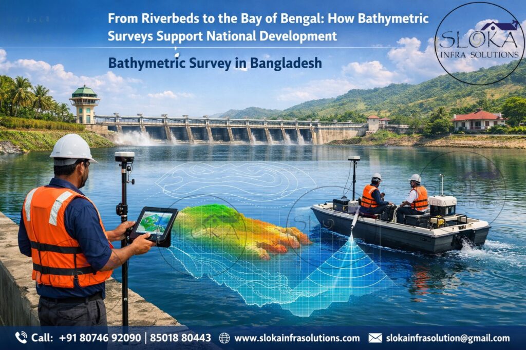
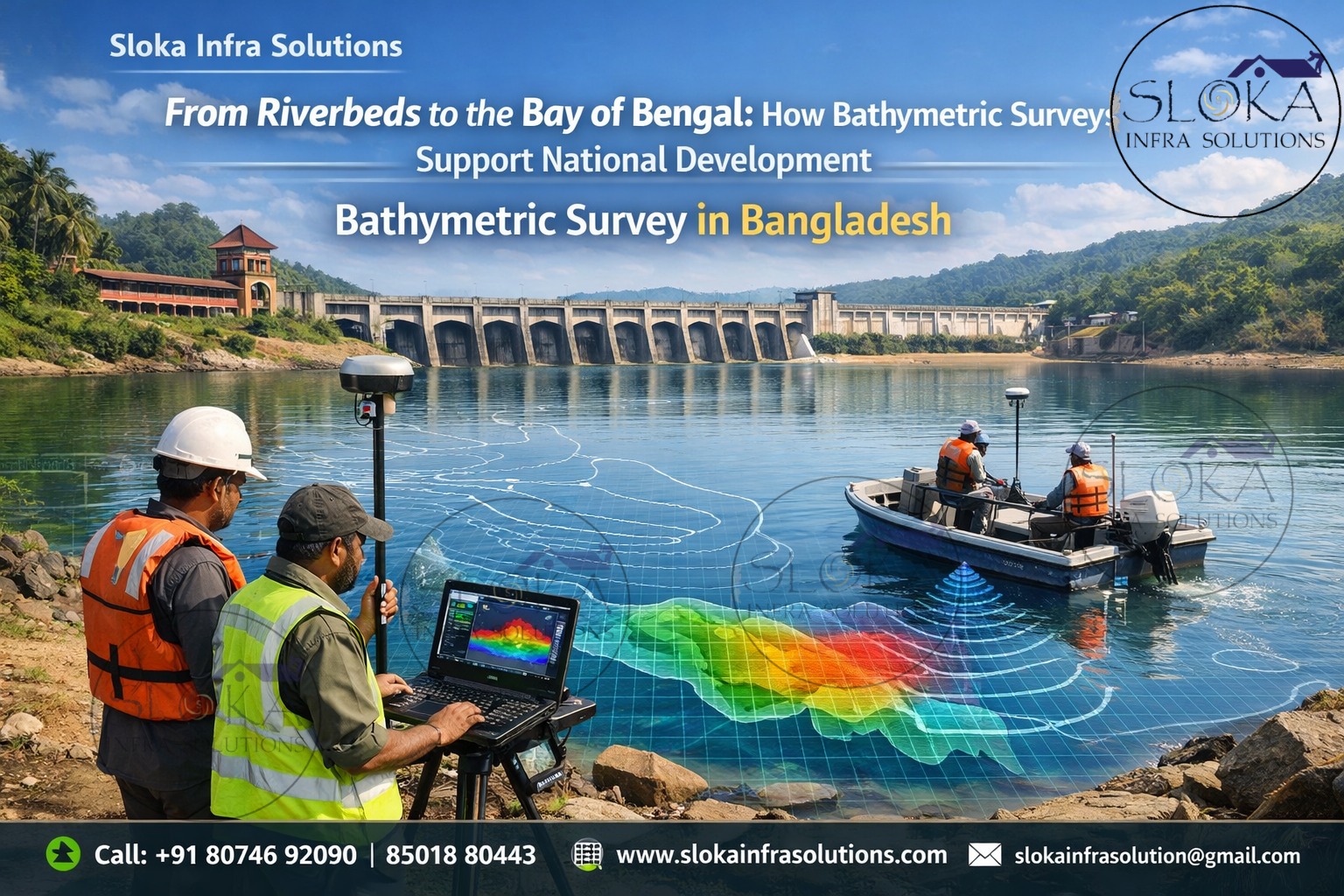
Bathymetric Survey in Bangladesh
Call: +91 80746 92090
From Riverbeds to the Bay of Bengal: How Bathymetric Surveys Support National Development:-
Bathymetric Survey in Bangladesh plays a critical role in understanding the hidden world beneath the country’s vast network of rivers, estuaries, coastal waters, lakes, and offshore zones. As one of the most water-dominated nations on earth, Bangladesh depends heavily on accurate underwater depth information for navigation safety, flood control, dredging, port development, coastal protection, environmental conservation, and national infrastructure planning.
With more than 700 rivers, an extensive delta formed by the Ganges-Brahmaputra-Meghna system, the Bay of Bengal coastline, seasonal wetlands (haors and beels), reservoirs, and rapidly shifting channels, underwater terrain in Bangladesh is constantly changing. Sedimentation, erosion, monsoon floods, cyclones, and tidal actions reshape riverbeds and seabeds every year. In such a dynamic environment, bathymetric surveys are not optional—they are essential for sustainable development and disaster resilience.
Bathymetric Surveyor in Bangladesh
A Bathymetric Surveyor in Bangladesh must operate in one of the most challenging hydrographic environments in the world. From highly turbid river waters to strong tidal currents in coastal zones and unpredictable monsoon conditions, surveyors require not only advanced equipment but also deep local knowledge, experience, and adaptive planning skills.
Surveyors work across inland rivers, navigation channels, ports, offshore waters, reservoirs, and flood-prone areas. Their responsibilities include precise depth measurement, seabed mapping, data processing, interpretation, and delivering actionable insights for engineers, planners, port authorities, environmental agencies, and policymakers. Professional bathymetric surveyors combine sonar technology, GNSS positioning, hydrodynamic understanding, and safety awareness to deliver reliable results even in complex field conditions.
Bangladesh’s Water-Driven geography and the need for Bathymetric Surveys:-
Bangladesh’s geography is shaped almost entirely by water. The country sits at the confluence of some of the world’s largest rivers and opens into the Bay of Bengal. This unique setting creates both opportunities and risks.
Major water bodies requiring Bathymetric mapping:-
Rivers and distributaries: Padma, Jamuna, Meghna, Karnaphuli, Rupsha, Shitalakshya, and hundreds of others
Estuaries and tidal channels along the coast
Coastal waters and offshore seabed of the Bay of Bengal
Ports and harbors such as Chattogram, Mongla, Payra, and river ports
Reservoirs and lakes used for water supply and irrigation
Haors, beels, and wetlands in the northeast and central regions
Because river depths change rapidly due to sediment movement, and coastal seabeds shift due to tides and storms, regular bathymetric surveys are required to maintain navigation safety, manage floods, and support development projects.
Core objectives of Bathymetric surveys in Bangladesh:-
Bathymetric surveys serve multiple national and commercial objectives:
- Ensuring safe navigation for inland and marine vessels
- Supporting dredging operations and sediment management
- Enabling port expansion and coastal infrastructure development
- Assisting flood modeling and disaster risk reduction
- Providing data for environmental and ecological studies
- Supporting offshore energy, cable, and pipeline projects
- Monitoring river erosion, accretion, and morphological changes
Without accurate bathymetric data, infrastructure projects risk failure, navigation accidents increase, and environmental damage becomes harder to control.
Survey planning in Bangladesh’s challenging conditions:-
Planning a bathymetric survey in Bangladesh requires careful consideration of multiple environmental and operational factors:
High turbidity caused by suspended sediments
Seasonal water level variation during monsoon and dry periods
Strong river currents and tidal flows
Cyclones and storm surges in coastal areas
Dense vessel traffic in major rivers and ports
Rapid channel migration and shoal formation
Survey plans must account for equipment selection, line spacing, vessel speed, weather windows, calibration requirements, and safety measures. A well-planned survey minimizes cost overruns and ensures accurate coverage.
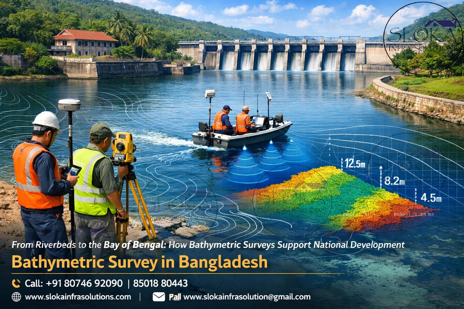
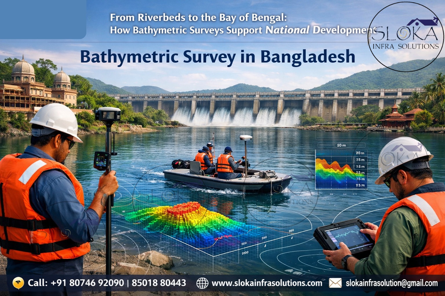
Single Beam Echo Sounder Surveys in Bangladesh:-
Single Beam Echo Sounder (SBES) surveys remain widely used in Bangladesh due to their simplicity, cost-effectiveness, and suitability for many inland water applications. A single beam system measures depth directly beneath the survey vessel by transmitting a sound pulse vertically downward and recording the return signal from the riverbed or seabed.
In Bangladesh, SBES surveys are commonly applied in:
- River depth monitoring for inland navigation
- Canal and irrigation channel surveys
- Small port and jetty assessments
- Reservoir and lake bathymetry
- Preliminary dredging investigations
Single beam systems perform well in narrow rivers and shallow water bodies where full seabed coverage is not always required. They are particularly useful in areas with limited maneuvering space, heavy vegetation, or restricted budgets.
However, SBES surveys collect depth data only along survey lines, leaving gaps between tracks. In dynamic river systems like those of Bangladesh, this means careful line spacing and frequent re-surveys are necessary to capture changes accurately. Despite this limitation, single beam echo sounders remain a practical and reliable solution for many government agencies and private projects where targeted depth information is sufficient.
Multibeam Echo Sounder Surveys in Bangladesh:-
Multibeam Echo Sounder (MBES) surveys represent the most advanced form of bathymetric data collection and are increasingly used in Bangladesh for critical projects. Unlike single beam systems, MBES emits multiple sound beams simultaneously, covering a wide swath of the seabed and providing full bottom coverage.
MBES surveys are essential for:
Port and harbor development
Navigation channel mapping
Offshore and coastal engineering
Submarine cable and pipeline routing
Detailed seabed morphology studies
In the turbid waters of Bangladesh, MBES systems are carefully calibrated to account for sound velocity variations caused by changes in temperature, salinity, and sediment concentration. Proper survey planning ensures optimal swath width, overlap, and data quality.
The major advantage of MBES is its ability to produce high-resolution digital terrain models and 3D seabed visualizations. These outputs allow engineers and planners to identify hazards, sediment patterns, scours, and obstructions with great accuracy. While MBES surveys are more expensive and operationally complex, they provide unmatched data quality and are indispensable for large-scale and high-risk projects in Bangladesh’s marine and riverine environments.
Side Scan Sonar in Bangladesh’s Waters:-
Side Scan Sonar plays a crucial role in complementing bathymetric surveys by providing detailed imagery of the seabed rather than depth measurements alone. It is especially valuable in Bangladesh’s rivers and coastal zones where underwater objects and hazards are common.
Side scan sonar is widely used for:
Detecting submerged wrecks and debris
Identifying dredging obstacles
Locating pipelines, cables, and anchors
Mapping riverbed features and erosion zones
Environmental habitat assessments
In busy navigation routes and ports, side scan sonar helps identify hazards that could damage vessels or infrastructure. The imagery allows surveyors to distinguish between soft sediments, hard substrates, rocks, and man-made objects.
Given Bangladesh’s history of ship traffic, fishing activity, and river transport, underwater debris is not uncommon. Side scan sonar provides a non-intrusive way to visually interpret the seabed, enhancing safety and decision-making without disturbing the environment.
Sub Bottom Profilers and Sediment Studies:-
Sub Bottom Profilers (SBP) are vital tools for understanding what lies beneath the seabed surface. In a sediment-rich country like Bangladesh, knowing the thickness and composition of sediment layers is essential for engineering and environmental projects.
SBP surveys are used for:
- Dredging volume estimation
- Foundation design for bridges and ports
- Coastal erosion and accretion studies
- Pipeline and cable burial assessments
- Geological and geotechnical investigations
Rivers in Bangladesh carry enormous sediment loads, continuously depositing layers on riverbeds and coastal floors. Sub bottom profilers penetrate these layers, revealing stratification, buried channels, and weak zones that could affect construction stability.
By integrating SBP data with bathymetric and side scan sonar results, surveyors gain a complete understanding of both surface and subsurface conditions. This integrated approach reduces construction risks and supports long-term sustainability of infrastructure projects.
Role of Bathymetric Data in Flood Management:-
Flooding is one of Bangladesh’s greatest challenges. Bathymetric data plays a critical role in flood modeling by defining riverbed geometry, channel capacity, and flow behavior.
Accurate depth data helps:
- Predict flood levels and flow paths
- Design embankments and flood protection works
- Manage reservoirs and water retention areas
- Improve early warning systems
Regular surveys ensure flood models remain reliable despite rapid morphological changes in rivers.
Environmental and Ecological importance:-
Bathymetric surveys also support environmental conservation by helping scientists understand aquatic habitats, sediment movement, and ecosystem health. Wetlands, mangroves, and estuaries depend on depth and sediment balance, making bathymetric data essential for environmental planning.
Technology Integration and Data Processing:-
Modern bathymetric surveys in Bangladesh integrate:
- GNSS positioning systems
- Sound velocity profiling
- Real-time data acquisition
- Advanced processing and visualization software
These technologies ensure high accuracy even under challenging conditions.
Human expertise behind the technology:-
Despite automation and advanced equipment, successful surveys depend heavily on human expertise. Experienced surveyors understand how monsoons affect river flow, how tides interact with sediment movement, and how to adapt survey methods to local conditions.
This combination of technology and professional judgment ensures that survey outputs remain accurate, practical, and actionable.
Safety, Standards, and Quality Control:-
Quality bathymetric surveys follow strict calibration procedures, redundancy checks, and data validation protocols. Safety is equally critical, especially in high-traffic rivers and offshore waters.
Charting the Future: The Growing Role of Bathymetric Surveys in Bangladesh:-
As Bangladesh continues to invest in ports, inland waterways, coastal protection, and offshore development, the demand for high-quality bathymetric surveys will grow. Integration with GIS, remote sensing, and predictive modeling will further enhance decision-making.
Wrapping Up: The lasting value of Bathymetric Surveying in Bangladesh:-
Bathymetric Survey in Bangladesh is far more than a technical exercise—it is a foundation for national safety, economic growth, and environmental sustainability. From rivers and wetlands to ports and offshore waters, accurate underwater data supports navigation, infrastructure, disaster resilience, and ecosystem protection.
The expertise of a skilled Bathymetric Surveyor in Bangladesh, combined with advanced sonar technologies and thoughtful planning, ensures that the country can safely navigate its water-driven future. As challenges evolve, bathymetric surveying will remain a vital tool in shaping resilient and informed development across Bangladesh.