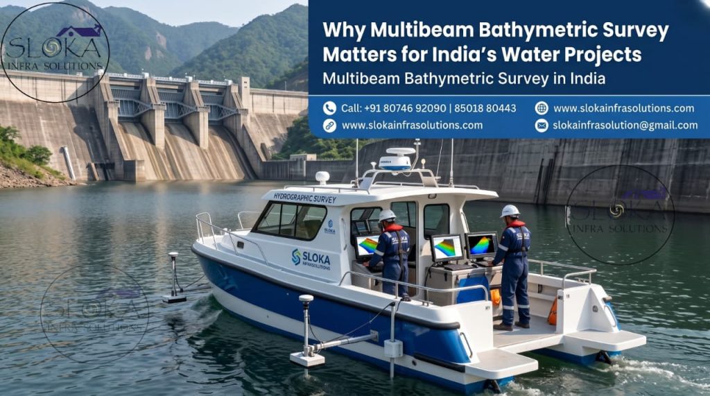
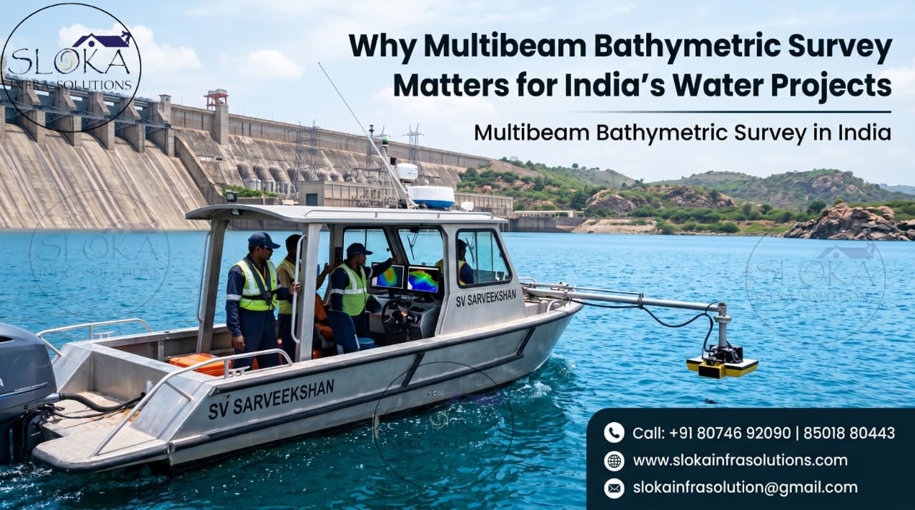
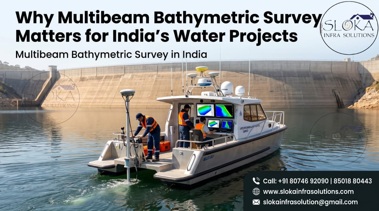
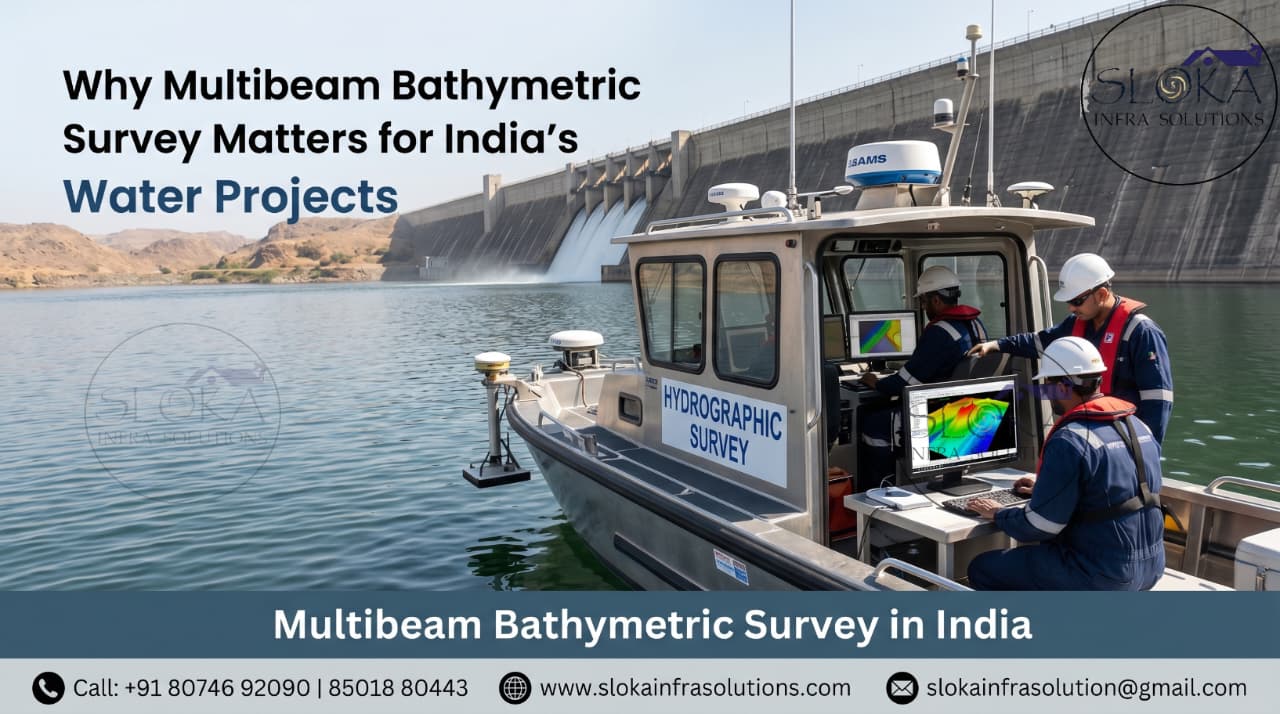
Multibeam Bathymetric Survey in India
Why Multibeam Bathymetric Survey Matters for India’s Water Projects
Call: +91 80746 92090
Multibeam Bathymetric Survey in India is now a major requirement for safe navigation, marine construction, dredging, offshore development, river engineering, reservoir studies and environmental planning. India has open seas, island waters, ports, estuaries, tidal creeks, rivers, canals, dams, reservoirs, lakes, lagoons and backwaters. Each waterbody behaves differently below the surface. Some beds are rocky, some are silty, some shift after every monsoon and some hide objects, slopes or weak sediment layers. Underwater survey services help convert this hidden uncertainty into reliable information for design, approval, construction and maintenance.
Multibeam Bathymetric Services in India
Multibeam Bathymetric Services in India support projects where depth, seabed shape, underwater hazards and construction risk must be understood clearly before work begins. A bridge pier, jetty, pipeline, intake well, outfall line, floating solar anchor, cable route or dredging plan can fail in cost control if underwater conditions are assumed instead of measured. A professional survey is not only about collecting depth points; it combines positioning, sonar, profiling, current measurement, data cleaning and practical interpretation to produce drawings and reports that engineers can use with confidence.
India’s Underwater Survey Map: Why One Method Is Not Enough
India’s geography makes underwater surveying both important and challenging. The western coast has busy ports, tidal creeks, industrial corridors and offshore activity. The eastern coast has deltas, cyclone-prone zones, sediment movement and long navigation channels. The island territories need careful mapping because reefs, slopes and sensitive marine habitats may exist close to project areas. Inland India adds another layer of complexity through the Ganga, Brahmaputra, Godavari, Krishna, Narmada, Tapi, Mahanadi and many smaller rivers that change with floods, barrages, sand bars and seasonal flow. Reservoirs lose capacity due to siltation, urban lakes need restoration data and backwaters need navigation and tourism support. Because of this variety, underwater survey services must be selected based on purpose, risk, depth, bottom type, accuracy requirement and final deliverable.
India’s Waterbody Diversity Creates Different Survey Needs:-
- Coastal zones need detailed seabed mapping for ports, harbours, breakwaters, jetties, marine terminals and shore protection works.
- Major rivers need cross-sections, depth profiles, current measurements, scour checks and seasonal change monitoring.
- Inland waterways need fairway surveys, shoal identification, navigation channel planning and dredging support.
- Reservoirs need sedimentation studies, storage capacity assessment, intake inspection and dead storage analysis.
- Lakes and urban waterbodies need restoration planning, desilting quantity estimation and bed condition mapping.
- Island waters need careful seabed understanding because slopes, reefs and sensitive marine zones may exist close to development areas.
- Industrial waterfronts need obstruction checks, outfall alignment surveys, intake structure support and underwater asset mapping.
- Floating solar sites need depth, bed slope, anchoring suitability, sediment condition and obstruction data.
1.Single Beam Echo Sounder Survey:-
Single Beam Echo Sounder Survey is a traditional and dependable bathymetric method used to measure water depth along planned survey lines. The system sends an acoustic pulse vertically downward from the survey boat and records the time taken for the sound signal to return from the bed. After applying corrections for water level, sound velocity, vessel movement and positioning, the data is processed into depth points, bed profiles, contours, sections and volume estimates.
This method is especially useful for rivers, canals, lakes, reservoirs, ponds, small ports and preliminary engineering studies. In India, it is commonly suitable for inland waterbodies where the project needs practical depth information without the complexity of full seabed coverage. It works well for reservoir capacity checks, siltation studies, basic dredging quantity estimation, irrigation canals, intake channels and river cross-section surveys.
The strength of Single Beam Echo Sounder Survey is its simplicity, affordability and adaptability. It can be deployed in many shallow and narrow waterbodies where larger systems may not be easy to operate. However, it records depth only directly below the vessel track. The areas between survey lines are interpreted based on spacing and interpolation. Because of this, small underwater objects, sharp depressions, boulders or sudden bed changes may be missed if the line plan is not dense enough. For low-risk and general mapping work, it is a strong method. For high-risk navigation, dredging, ports and construction zones, it is often supported by multibeam, side scan sonar or sub-bottom profiling.
2.Multibeam Echo Sounder Survey:-
Multibeam Echo Sounder Survey is used when the project requires dense, accurate and full-coverage underwater mapping. Unlike single beam systems that measure one point below the boat, a multibeam echo sounder sends multiple sound beams across a wide swath. This allows the survey team to collect thousands or millions of depth points and create a detailed 3D model of the seabed, riverbed or reservoir bed.
This method is highly valuable for ports, navigation channels, berth pockets, offshore structures, pipelines, cable routes, dredging projects, bridge foundations and coastal infrastructure. It helps identify shoals, slopes, depressions, scour holes, trenches, bedforms and underwater obstructions. For dredging work, multibeam data is useful before and after execution because it supports accurate volume comparison and quality checking.
Today, Multibeam Bathymetric Survey in India is especially important because many water-based projects demand higher accuracy, better safety and clearer documentation. Dense multibeam data can be converted into digital terrain models, contour plans, shaded relief images, depth charts, alignment profiles and engineering drawings. But good results depend on more than advanced equipment. Proper calibration, patch testing, GNSS positioning, motion sensor integration, sound velocity measurement, tide or water-level correction and careful data cleaning are all essential. A multibeam survey must be planned and processed by trained professionals because attractive-looking data can still be wrong if corrections are poorly handled.
3.Side Scan Sonar:-
Side Scan Sonar is used to create an image-like acoustic view of the seabed surface. Instead of measuring only depth, it scans the bottom sideways and records the strength of sound reflections from different objects and textures. Hard objects, soft sediments, boulders, debris, wrecks, anchors, pipelines, cables, dumped material and bedforms can appear differently in the sonar record. This makes it very useful for identifying what is lying on the bed.
In Indian ports, rivers, reservoirs, harbours and nearshore project areas, visibility is often poor due to suspended sediment and turbidity. Cameras and divers may not always be practical or safe. Side Scan Sonar helps overcome this limitation by producing acoustic imagery even when the water is unclear. It is valuable before dredging, pipeline laying, cable installation, marine construction, underwater clearance, search operations and obstruction removal.
The method is also useful for interpreting seabed texture. Smooth silt, rippled sand, rocky patches and scattered debris can produce different acoustic responses. Shadows behind objects help surveyors estimate shape and height. However, side scan sonar should not be treated as a replacement for bathymetry. It is mainly used for seabed imaging and target detection, while depth mapping comes from echo sounders. When side scan sonar is combined with bathymetry, positioning and target verification, it gives a much clearer picture of underwater risk.
4.Sub Bottom Profilers:-
Sub Bottom Profilers are used to look below the seabed or riverbed surface. While bathymetric systems map the top of the bed, sub-bottom profiling helps identify shallow layers beneath it. The system sends acoustic energy into the bed, and different buried layers reflect signals back depending on their density and composition. This allows surveyors to interpret soft sediment thickness, buried channels, hard layers, rockhead trends, gas pockets, weak zones and possible buried objects.
This information is important for projects where the bed surface alone is not enough. A dredging contractor may need to know whether the material below the silt is soft clay, dense sand, gravel or rock. A pipeline route may need to avoid hard patches or unstable sediments. A marine foundation designer may need to understand shallow geological variation. A reservoir authority may need to estimate sediment accumulation above the original bed level.
In India, sub-bottom profiling is useful in deltas, estuaries, ports, reservoirs, river crossings, nearshore corridors and offshore utility routes. Many Indian waterbodies receive heavy sediment during monsoon periods, so the bed surface can change over time. Sub-bottom data helps separate recent deposits from older layers and supports better planning for dredging, foundation decisions and route selection. For best results, sub-bottom profiling should be interpreted along with bathymetry, sediment samples, boreholes or geotechnical data. It does not replace geotechnical investigation, but it helps guide it intelligently.
5.ADCP Survey:-
- ADCP Survey measures how water moves through the water column, not only how deep the water is.
- The instrument uses acoustic Doppler principles to measure current velocity and direction at different depth layers.
- In rivers, it can measure discharge, flow distribution, channel behavior and seasonal variation.
- In ports and coastal areas, it helps understand tidal currents, berth conditions, sediment movement and safe working windows.
- In bridge projects, ADCP data supports scour studies, pier protection planning and hydraulic model inputs.
- In dredging projects, it helps assess whether currents may transport suspended sediment toward sensitive areas.
- In outfall and intake projects, it supports plume behavior, dilution understanding and structure placement.
- In reservoirs and lakes, it helps study circulation, inflow movement and current behavior near critical structures.
- Indian waterbodies often change between pre-monsoon, monsoon and post-monsoon periods, so current measurement can be important for practical engineering.
- ADCP Survey may be conducted from a moving boat, fixed deployment, bridge-mounted setup or floating platform depending on site conditions.
- Reliable work needs transect planning, compass checks, bottom tracking review, boat speed control, edge estimation and data screening.
- The final outputs can include current velocity profiles, discharge data, flow direction visuals, depth-wise current maps, time-based flow graphs, and clear hydraulic insights for better project planning.
- Bathymetry shows the shape of the channel, while ADCP data shows how water behaves inside that shape.
- For Indian rivers, ports, estuaries and tidal waterways, this combination helps designs move from assumption to field-ready understanding.
A Better Way to Plan an Underwater Survey Project:-
A good underwater survey begins with the project question. The first step is not choosing equipment; it is understanding what the client needs to know. Is the project looking for depth? Is it looking for hidden objects? Is it trying to calculate dredging quantity? Is it checking current speed? Is it studying sediment layers? Is it planning a foundation, cable, pipeline, intake, outfall or floating structure? Once the question is clear, the survey method becomes easier to select.
Many projects need more than one technology. A reservoir study may need single beam bathymetry and sub-bottom profiling. For a port development project, advanced seabed mapping, side scan sonar imaging and ADCP current studies may be required, while a bridge project often needs detailed bathymetry, flow analysis and scour zone assessment for safer design. A pipeline project may need multibeam data, side scan sonar and sub-bottom profiles. Multibeam Bathymetric Services in India become more powerful when they are part of a complete underwater investigation approach rather than a standalone activity.
Professional Survey Output Should Be Easy to Use!
- Survey methodology with equipment details.
- Control points, coordinate system and reference levels.
- Bathymetric charts with clear contours.
- 3D seabed or riverbed models.
- Cross-sections and longitudinal profiles.
- Dredging quantity and volume reports.
- Side scan sonar maps with marked underwater targets and a clear list of identified contact points.
- Sub-bottom profile interpretation.
- ADCP current and discharge results.
- Data quality notes and limitations.
- Practical observations for engineers and project teams.
- Drawings that can support planning, approval and execution.
Turning Hidden Underwater Risks into Clear Project Confidence:-
Underwater Survey Services are the bridge between hidden underwater reality and confident project execution. India’s ports, rivers, lakes, reservoirs, canals, estuaries, coastal zones and island waters demand careful investigation because every waterbody has different depth, sediment, current and risk conditions. A well-planned survey helps reduce uncertainty, avoid costly surprises, improve design decisions and support safer construction. Whether the requirement is single beam depth measurement, multibeam 3D mapping, side scan sonar imaging, sub-bottom profiling or ADCP current measurement, the real value lies in choosing the right method for the right project and converting field data into clear, meaningful engineering intelligence.