Hydrographic Survey in Kerala
Exploring the Depths: The Importance of Hydrographic Survey in Kerala’s Waterways
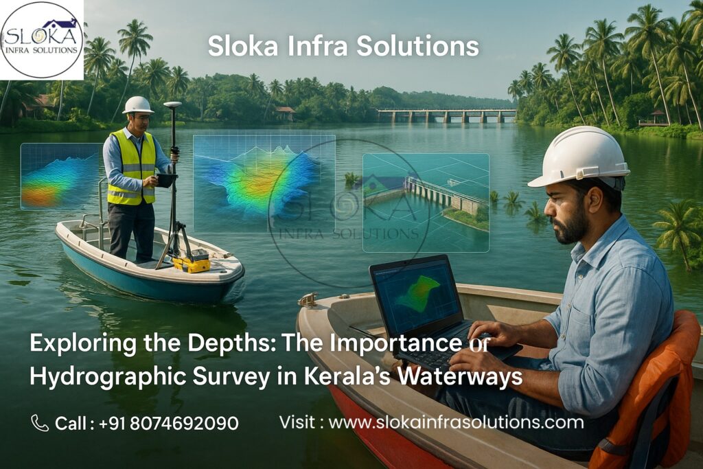
Kerala, blessed with a long coastline, intricate backwaters, and a dense network of rivers, presents a unique maritime and inland water ecosystem that demands precise mapping and monitoring. Hydrographic Survey in Kerala plays a crucial role in understanding and managing these dynamic water environments. It provides vital data for navigation safety, port and harbor development, coastal engineering, fisheries, and environmental management.
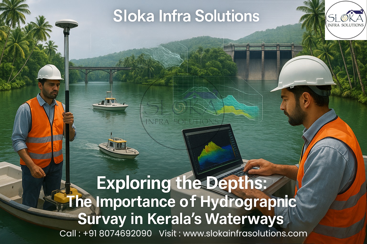
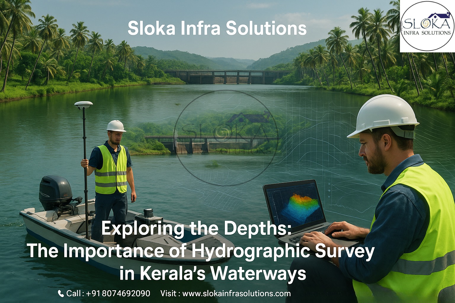
Hydrographic surveying is more than just measuring depths—it is a comprehensive study of the physical features beneath the water’s surface. It involves the collection of scientific data about seabeds, underwater terrain, tides, currents, and sediment transport. For a state like Kerala, which depends on its marine and inland waterways for trade, transport, and tourism, these surveys are fundamental for sustainable coastal and economic development.
Top Hydrographic Survey and Surveyor in Kerala
The Top Hydrographic Survey and Surveyor in Kerala focus on delivering high-accuracy results that support diverse marine and inland projects. Their expertise extends to hydrographic charting, bathymetric mapping, and underwater terrain modeling, essential for navigation, dredging, harbor construction, and environmental studies.
Kerala’s strategic location along the Arabian Sea and its network of 44 rivers, backwaters, and estuaries demand specialized hydrographic techniques. With continuous coastal erosion, sediment deposition, and changing marine currents, hydrographic surveys in this region help in:
Assessing navigable channels and maintaining safe routes for fishing and transport vessels.
Monitoring sedimentation patterns for dredging and coastal protection.
Supporting construction of harbors, jetties, and inland navigation infrastructure.
Providing accurate bathymetric maps for environmental and disaster management.
In a coastal state like Kerala, where waterbodies influence daily life and economy, hydrographic surveys are integral to sustainable development and disaster preparedness.
Understanding Hydrographic Surveys:-
Hydrographic surveys are systematic measurements and descriptions of the physical features of oceans, seas, coastal areas, lakes, and rivers. The process typically includes:
1.Depth Measurement (Bathymetry): Determining water depth and seabed topography using echo sounders and sonar systems.
2.Tidal and Current Observations: Measuring water movement and tidal changes to correct and interpret depth data.
3.Seabed Characterization: Identifying sediment types and underwater geological formations.
4.Position Fixing: Using GPS and other satellite-based systems to accurately position each survey data point.
Hydrographic data is essential for safe navigation, construction planning, resource exploration, environmental protection, and scientific research.
Kerala’s Unique Geographic and Water Profile:-
Kerala’s geography gives it one of the most complex and fascinating water systems in India. The state stretches for about 580 kilometers along the Arabian Sea and includes:
A network of 44 rivers originating from the Western Ghats and draining into the sea.
Vast backwaters such as Vembanad, Ashtamudi, and Kayamkulam.
Numerous lagoons, estuaries, and wetlands supporting rich biodiversity.
Ports and harbors including Cochin, Vizhinjam, and Beypore, vital for trade and fishing activities.
Given this diverse hydrological environment, Hydrographic Survey in Kerala is indispensable for ensuring safe navigation, flood management, port development, and ecosystem preservation.
Importance of Hydrographic Surveys in Kerala:-
1. Safe Navigation and Port Operations
Kerala’s coastal and inland waterways are lifelines for fishing boats, ferries, and cargo vessels. Regular hydrographic surveys help identify shallow areas, obstructions, and silted channels, ensuring the safety of vessels and efficient port operations.
2. Coastal Erosion and Sediment Monitoring
The state experiences continuous shoreline changes due to erosion and sedimentation. Hydrographic data assists in understanding coastal morphology and helps in designing coastal protection measures.
3. Flood Management and Disaster Preparedness
With frequent monsoon floods, accurate hydrographic data aids in flood modeling and management. It supports authorities in predicting flood paths, planning embankments, and implementing mitigation strategies.
4. Marine Infrastructure Development
Surveys are critical for planning harbors, offshore installations, and bridges. Bathymetric and geophysical surveys provide engineers with the necessary information on seabed conditions.
5. Environmental and Ecological Studies
Hydrographic surveys contribute to mapping aquatic ecosystems, monitoring pollution, and protecting sensitive habitats such as mangroves and coral patches.
Techniques and Instruments Used in Hydrographic Surveys:-
Modern hydrographic surveys in Kerala employ advanced technology for precision and efficiency. Some of the key instruments and methods include:
1. Echo Sounders
Used to measure depth by transmitting sound pulses to the seabed and recording the return time. Dual-frequency echo sounders help distinguish between hard and soft seabeds.
2. GPS and GNSS Systems
Provide accurate positioning for every survey line and data point, essential for creating reliable charts.
3. Tide Gauges
Measure the vertical movement of water due to tidal variations, helping in depth correction.
4. Multi-Beam and Single-Beam Sonars
Multi-beam systems provide detailed 3D images of the seabed, while single-beam systems are used for linear depth profiling.
5. Side Scan Sonar
Used to produce high-resolution images of the seabed, identifying underwater objects and textures.
6. Sub Bottom Profilers
Used to examine the layers beneath the seabed, helpful for geological and dredging studies.
Sub Bottom Profilers:-
Sub Bottom Profilers (SBPs) are one of the most sophisticated tools in hydrographic and geophysical surveys. They emit low-frequency acoustic pulses that penetrate the seabed to reveal the different sediment layers below. This technique helps in studying subsurface structures up to several tens of meters deep, depending on the sediment type and frequency used.
In Hydrographic Survey in Kerala, SBPs are vital due to the state’s complex sediment dynamics. Kerala’s coast experiences frequent sediment deposition from rivers like Periyar and Bharathapuzha, which influences coastal morphology and dredging requirements.
Applications of Sub Bottom Profilers in Kerala:
Dredging and Port Construction: Identify sediment layers and rock outcrops before dredging or harbor expansion.
Pipeline and Cable Laying: Ensure safe and stable seabed routes for underwater utilities.
Environmental Studies: Analyze sediment transport and deposition patterns affecting marine habitats.
Archaeological Mapping: Detect submerged ancient structures and shipwrecks.
The data from SBPs allows engineers and scientists to visualize subsurface conditions, predict sediment stability, and design safe marine infrastructure. In Kerala’s dynamic coastal zone, where riverine sediments continuously reshape the seabed, SBPs help maintain accurate seabed models and ensure sustainable marine development.
Side Scan Sonar:-
Side Scan Sonar (SSS) is another critical hydrographic instrument used for detailed imaging of the seabed. It works by emitting acoustic waves from transducers mounted on a towfish or vessel. These waves bounce back from the seabed, creating a detailed mosaic-like image that shows underwater features and textures.
For Top Hydrographic Survey and Surveyor in Kerala, Side Scan Sonar is indispensable for mapping underwater structures, detecting obstructions, and studying seabed conditions.
Uses of Side Scan Sonar in Kerala’s Waters:
Navigation Safety: Identify submerged rocks, wrecks, and debris that could endanger vessels.
Habitat Mapping: Distinguish between sand, rock, coral, and vegetation zones for ecological studies.
Dredging Operations: Assess dredged material and post-dredging seabed conditions.
Port and Harbor Surveys: Inspect quay walls, breakwaters, and underwater construction sites.
Kerala’s backwaters, ports, and estuaries, with their varying depths and sediment compositions, benefit greatly from Side Scan Sonar imaging. It provides high-resolution maps that aid in navigation, construction, and environmental management. The technology’s ability to cover wide swathes of seabed in a single pass makes it both efficient and economical for Kerala’s vast and complex water systems.
Applications of Hydrographic Survey in Kerala:-
1. Coastal Zone Management
Data from hydrographic surveys assist in understanding shoreline changes, erosion, and sediment movement. This helps in planning coastal defense and rehabilitation projects.
2. Inland Waterway Development
Kerala’s inland waterways such as Vembanad Lake and Alappuzha–Kottayam–Kollam canal system rely on hydrographic data for navigational safety and maintenance dredging.
3. Harbor and Port Maintenance
Surveys are conducted regularly to monitor siltation in harbors and to plan dredging for maintaining adequate depths for vessel movement.
4. Offshore Exploration
Hydrographic and geophysical surveys support oil, gas, and renewable energy projects along the Arabian Sea coast.
5. Disaster Risk Reduction
By analyzing seabed profiles and coastal slopes, hydrographic surveys aid in tsunami modeling, storm surge prediction, and erosion risk management.
Challenges in Conducting Hydrographic Survey in Kerala
Despite technological advancements, conducting hydrographic surveys in Kerala comes with unique challenges:
Dynamic Coastal Environment: High sediment influx and seasonal monsoons alter seabed morphology frequently.
Dense Vegetation and Shallow Waters: Backwaters and estuaries with thick vegetation make data collection complex.
Monsoon Conditions: Rough seas and heavy rainfall limit survey operations during certain months.
Data Integration: Combining bathymetric, geophysical, and tidal data requires high expertise and precision.
Addressing these challenges demands skilled professionals, advanced instruments, and continuous monitoring to ensure reliable results.
Future of Hydrographic Survey in Kerala:-
The future of hydrographic surveying in Kerala is promising with advancements in AI-based data processing, autonomous surface vehicles (ASVs), and satellite-derived bathymetry. These technologies will enhance accuracy, reduce costs, and make real-time monitoring possible.
The integration of hydrographic data with GIS platforms will further support coastal planning, environmental protection, and disaster management. With Kerala’s ongoing focus on blue economy initiatives, smart ports, and inland waterway connectivity, the role of hydrographic surveys will continue to expand.
Conclusion:-
In essence, Hydrographic Survey in Kerala serves as the backbone for marine navigation, environmental preservation, and coastal development. The state’s diverse aquatic landscapes—from the serene backwaters to the turbulent Arabian Sea—demand accurate and continuous underwater mapping.
The Top Hydrographic Survey and Surveyor in Kerala are instrumental in collecting, analyzing, and interpreting hydrographic data that drive the state’s maritime infrastructure and safety initiatives. Through technologies like Sub Bottom Profilers and Side Scan Sonar, Kerala continues to strengthen its position as a coastal region committed to sustainable marine management and scientific excellence.